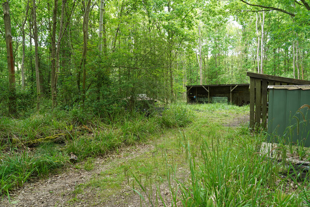
Ash Wood

Wood, Forest in Huntingdonshire Huntingdonshire

England

Ash Wood

Beachampstead Road, Great Staughton From The Highway which goes to Kimbolton.
Beachampstead Road, Great Staughton Credit: David Howard

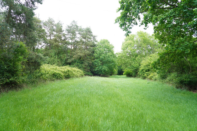
Ash Wood is a beautiful forest located in Huntingdonshire, England. Covering an area of approximately 50 hectares, the wood is predominantly made up of ash trees, hence its name. These trees provide a dense canopy that creates a serene and peaceful atmosphere for visitors to enjoy.

The wood is home to a variety of wildlife, including birds, squirrels, and deer, making it a popular spot for nature enthusiasts and birdwatchers. The diverse ecosystem within the wood also supports a rich variety of plant life, adding to its natural beauty.

Visitors to Ash Wood can explore the network of walking trails that wind through the forest, offering opportunities to spot wildlife and enjoy the tranquil surroundings. The wood is also a popular destination for picnics, with designated areas for visitors to set up and enjoy a meal amidst the natural surroundings.

Overall, Ash Wood is a picturesque and tranquil forest that offers a peaceful escape from the hustle and bustle of everyday life. Its natural beauty and diverse wildlife make it a must-visit destination for nature lovers in Huntingdonshire.

If you have any feedback on the listing, please let us know in the comments section below.
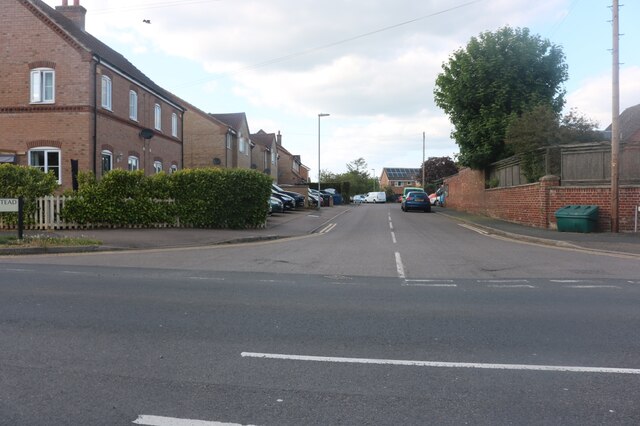
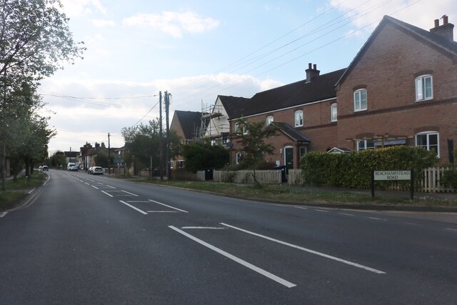
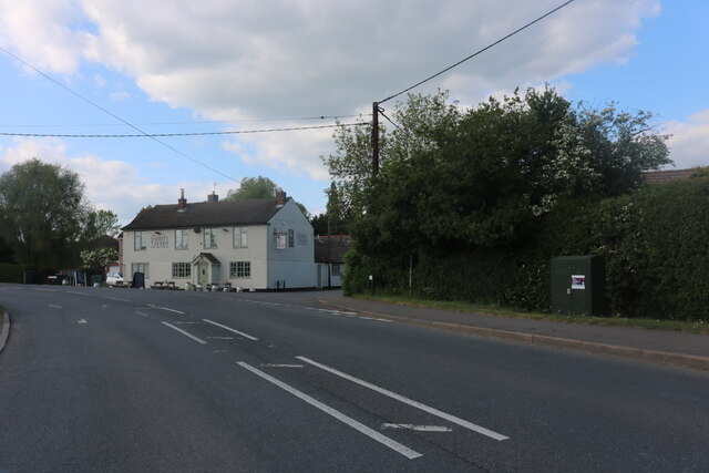
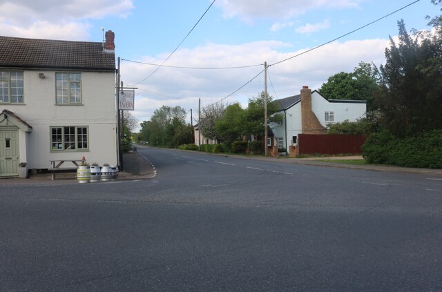
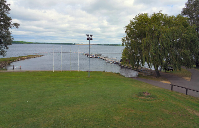
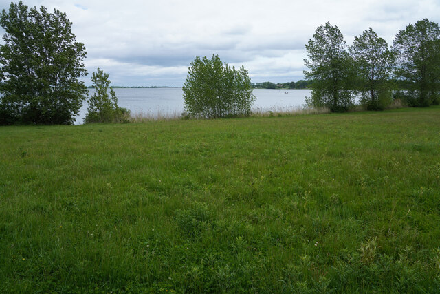
Ash Wood Images

Images are sourced within 2km of 52.282738/-0.33200827 or Grid Reference TL1366. Thanks to Geograph Open Source API. All images are credited.

Beachampstead Road, Great Staughton From The Highway which goes to Kimbolton.
Beachampstead Road, Great Staughton
From The Highway which goes to Kimbolton.
The Highway, Great Staughton
The Green, Great Staughton Looking towards the Snooty Tavern
The Green, Great Staughton
Looking towards the Snooty Tavern
The B661, Great Staughton At the junction of The Green. The Snooty Tavern is on the left.
The B661, Great Staughton
At the junction of The Green. The Snooty Tavern is on the left.
The Snooty Tavern, Staughton Green
Grafham Water A view across Grafham Water from a position to the right of the cafe. Next to the jetty are a series of rowing and powered boats for the use of fishermen.
Grafham Water
A view across Grafham Water from a position to the right of the cafe. Next to the jetty are a series of rowing and powered boats for the use of fishermen.
A woodland path One of the varied paths and or cycle tracks that are to be found around Grafham Water.
A woodland path
One of the varied paths and or cycle tracks that are to be found around Grafham Water.
Grafham Water Looking back across an area of grass towards the visitor centre and car park, which cannot be seen as they are hidden by the sparse trees and bushes.
Grafham Water
Looking back across an area of grass towards the visitor centre and car park, which cannot be seen as they are hidden by the sparse trees and bushes.
A woodland ride This may be a fire break or a woodland ride, but either way it does eventually lead to one of the many bird hides at this end of the reservoir.
A woodland ride
This may be a fire break or a woodland ride, but either way it does eventually lead to one of the many bird hides at this end of the reservoir.
Reeds in front of the hide The reed bed had a number of Dragon flies flitting back and forth but there were very few birds to be seen.
Reeds in front of the hide
The reed bed had a number of Dragon flies flitting back and forth but there were very few birds to be seen.
Charcoal burners' huts We were surprised when we came across these huts which had two or three charcoal burning steel drums and lids. None of them was active as we walked by.
Charcoal burners' huts
We were surprised when we came across these huts which had two or three charcoal burning steel drums and lids. None of them was active as we walked by.
East Perry : Perry Baptist Church
Grafham Water : fishing boats for hire
Cycle path by B661 east of Perry Part of the cycle route around the reservoir runs beside the road, as there is no convenient way closer to the water
Cycle path by B661 east of Perry
Part of the cycle route around the reservoir runs beside the road, as there is no convenient way closer to the water
The church garden and old gravestones, Perry Baptist Church The church <a href="https://www.geograph.org.uk/photo/7241580">TL1466 : East Perry : Perry Baptist Church</a> dates from 1990, replacing the unsafe building dated 1841; the gravestones had to be moved when the present building was built
The church garden and old gravestones, Perry Baptist Church
The church TL1466 : East Perry : Perry Baptist Church dates from 1990, replacing the unsafe building dated 1841; the gravestones had to be moved when the present building was built
Perry Baptist Church
The Wheatsheaf, Perry
Glebe Road, Perry A small housing estate
Glebe Road, Perry
A small housing estate
Show me another place!

Ash Wood is located at Grid Ref: TL1366 (Lat: 52.282738, Lng: -0.33200827)

Administrative County: Cambridgeshire

District: Huntingdonshire

Police Authority: Cambridgeshire

What 3 Words

///rooftop.pokes.honest. Near Kimbolton, Cambridgeshire

Nearby Locations

Perry West Wood Ash Wood

Related Wikis

Perry Woods

Perry Woods is a 67.9-hectare (168-acre) biological Site of Special Scientific Interest south-east of Kimbolton in Cambridgeshire. It is composed of three...

Gaynes Hall

Gaynes Hall is a Grade II* listed Georgian mansion set in 20 acres (81,000 m2) of parkland in the heart of the Cambridgeshire countryside. Located in the...

Perry, Cambridgeshire

Perry is a village and civil parish in Cambridgeshire, England, approximately 6 miles (10 km) south-west of Huntingdon. Perry is in Huntingdonshire, a...

HM Prison Littlehey

HM Prison Littlehey is a Category C male prison in the village of Perry near Huntingdon in Cambridgeshire, England. Littlehey Prison is operated by His...

Nearby Amenities

Located within 500m of 52.282738,-0.33200827
Cell Phone Mast
Created By: Potlatch 0.4b
Man Made: mast
Lat/Long: 52.283381/-0.3249268
Design: barrel
Line Attachment: suspension
Material: steel
Power: tower
Structure: lattice
Lat/Long: 52.2806926/-0.3266137
Design: barrel
Line Attachment: anchor
Material: steel
Power: tower
Structure: lattice
Lat/Long: 52.2839539/-0.3285501
Design: barrel
Line Attachment: suspension
Material: steel
Power: tower
Structure: lattice
Lat/Long: 52.2863669/-0.3317296
Power: tower
Source: bing
Lat/Long: 52.2795921/-0.3323771
Power: tower
Source: bing
Lat/Long: 52.2822204/-0.3320466
Power: tower
Source: bing
Lat/Long: 52.2856124/-0.3316672
The data included in this document is from www.openstreetmap.org. The data is made available under ODbL.

Have you been to Ash Wood?

Leave your review of Ash Wood below (or comments, questions and feedback).