Shelley's Wood
Wood, Forest in Sussex Horsham
England
Shelley's Wood
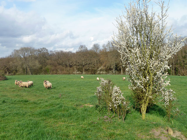
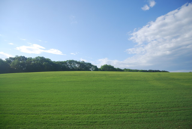
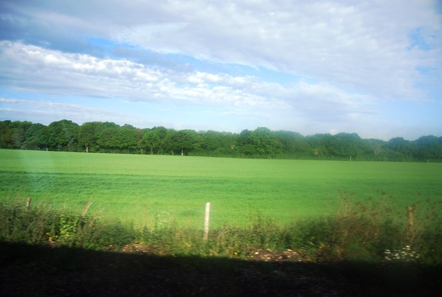
Shelley's Wood is a picturesque forest located in the county of Sussex, England. Situated in the heart of the South Downs National Park, the wood covers an area of approximately 100 hectares. It is known for its diverse range of tree species, including oak, beech, ash, and birch, which create a rich and vibrant canopy.
The wood is named after Percy Bysshe Shelley, a renowned poet who lived in the nearby village of Horsham during the early 19th century. It is believed that Shelley often sought solace and inspiration within the tranquil surroundings of the wood. His connection to the area has made Shelley's Wood a site of literary and historical significance.
The forest is home to a variety of wildlife, making it a popular destination for nature enthusiasts and birdwatchers. Visitors may spot deer, foxes, badgers, and a wide range of bird species, including woodpeckers, owls, and warblers.
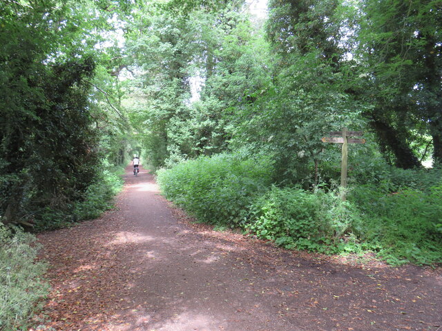
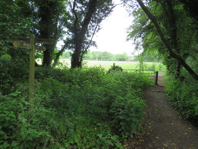
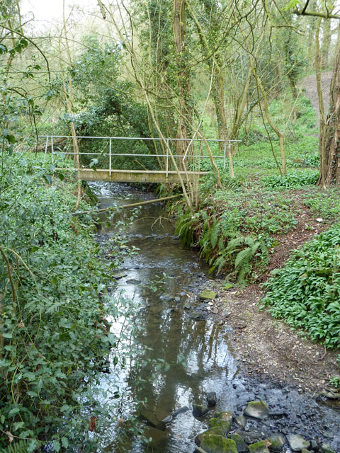
Shelley's Wood offers several walking trails, allowing visitors to explore its natural beauty. The paths wind through ancient woodland, meandering alongside babbling brooks and open glades. These trails provide an opportunity to immerse oneself in the peacefulness of the forest and appreciate its natural wonders.
In addition to its natural beauty, Shelley's Wood also serves as an important ecological site. Efforts are made to preserve and protect the forest's delicate ecosystem, ensuring its longevity for future generations to enjoy.
If you have any feedback on the listing, please let us know in the comments section below.
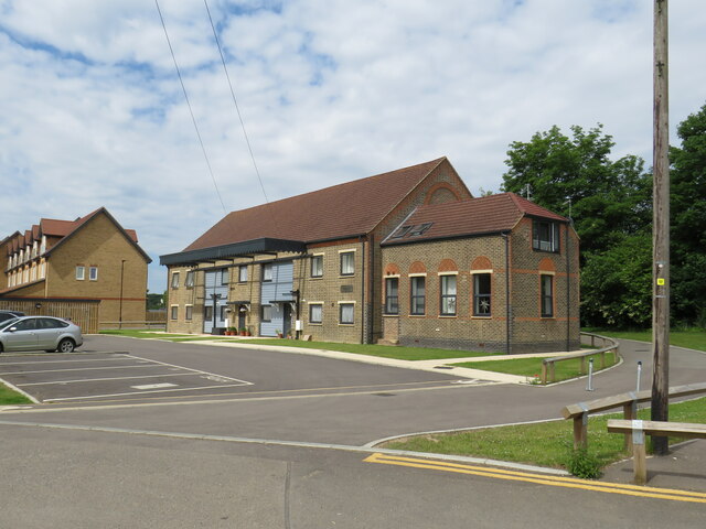
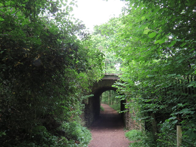
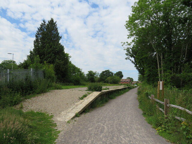
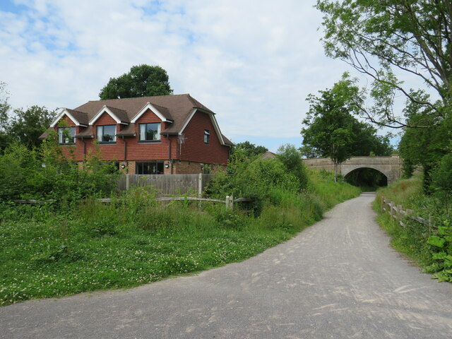
Shelley's Wood Images
Images are sourced within 2km of 51.045787/-0.37673951 or Grid Reference TQ1328. Thanks to Geograph Open Source API. All images are credited.


Shelley's Wood is located at Grid Ref: TQ1328 (Lat: 51.045787, Lng: -0.37673951)
Administrative County: West Sussex
District: Horsham
Police Authority: Sussex
What 3 Words
///riddle.ounce.anyone. Near Southwater, West Sussex
Nearby Locations
Related Wikis

Itchingfield
Itchingfield is a small village and civil parish in the Horsham district of West Sussex, England. It lies on the Barns Green to Broadbridge Heath road...

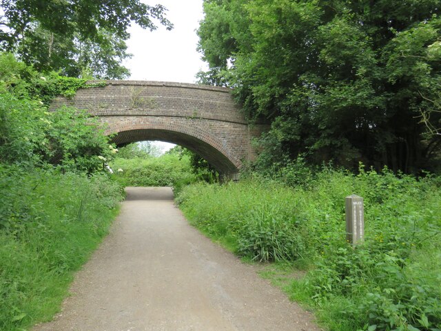
Downs Link
The Downs Link is a 36.7 miles (59.1 km) footpath and bridleway linking the North Downs Way at St. Martha's Hill in Surrey with the South Downs Way near...
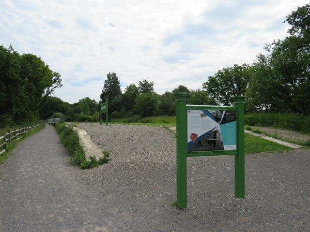
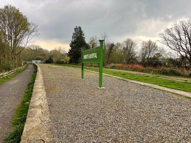
Christ's Hospital
Christ's Hospital is a public school (English fee-charging boarding school for pupils aged 11–18) with a royal charter located to the south of Horsham...
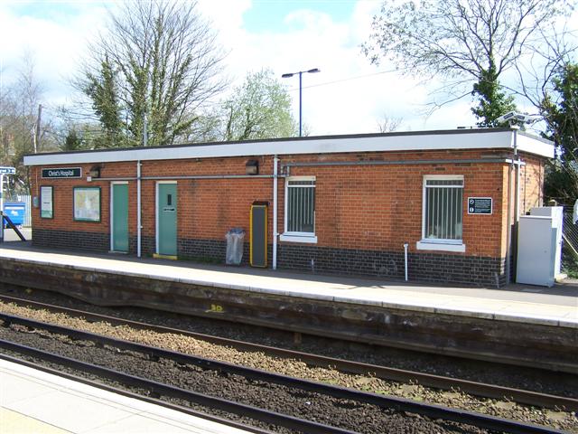
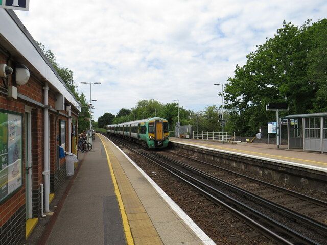
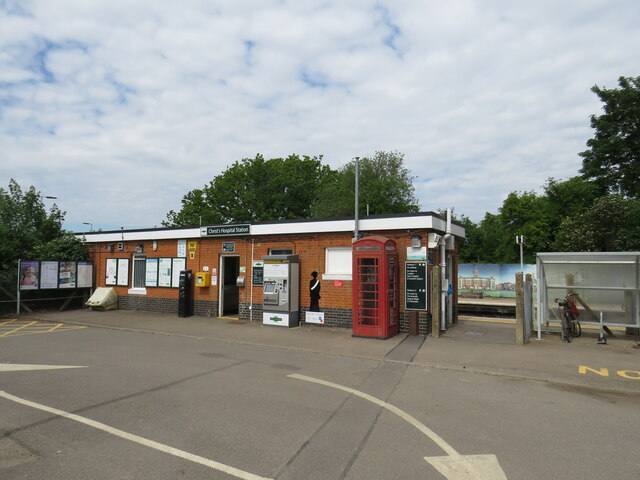
Christ's Hospital railway station
Christ's Hospital railway station is near Horsham in West Sussex, England. It is 40 miles 7 chains (64.5 km) down the line from London Bridge via Redhill...

Barns Green
Barns Green is a village in the Horsham district of West Sussex, England. It lies on the Billingshurst to Itchingfield road 2+1⁄2 miles (4.0 km) north...
Broadbridge Heath F.C.
Broadbridge Heath Football Club is a football club based in Broadbridge Heath, near Horsham, in West Sussex, England. They are currently members of the...
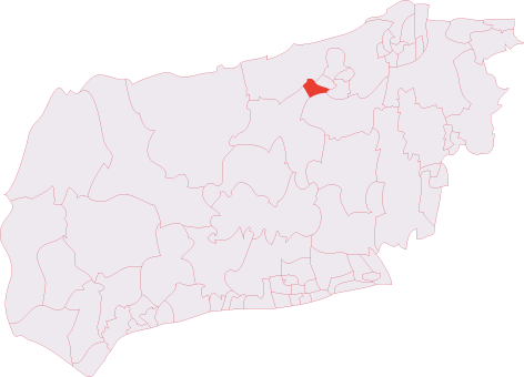
Horsham Tanbridge & Broadbridge Heath (electoral division)
Horsham Tanbridge & Broadbridge Heath is an electoral division of West Sussex in England, and returns one member to sit on West Sussex County Council....
Haywards Heath Town F.C. Women
Haywards Heath Town F.C. Women (formerly Crawley Wasps Ladies FC) is an English women's football club, that currently plays in the FA Women's National...
Nearby Amenities
Located within 500m of 51.045787,-0.37673951Have you been to Shelley's Wood?
Leave your review of Shelley's Wood below (or comments, questions and feedback).