The Belt
Wood, Forest in Bedfordshire
England
The Belt

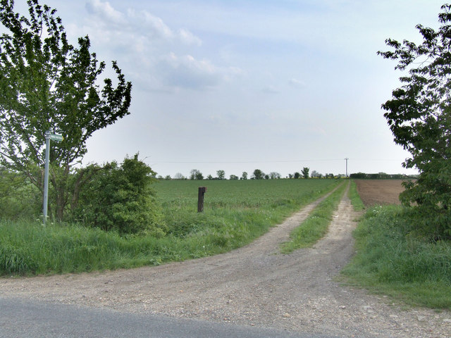
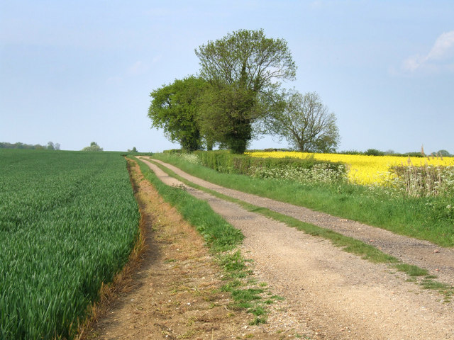
The Belt, located in Bedfordshire, is a picturesque woodland area known for its natural beauty and tranquil atmosphere. Spread across a vast expanse, this forested region offers a diverse range of flora and fauna, making it a popular destination for nature enthusiasts and hikers alike.
The Belt is characterized by its dense canopy of trees, including oak, beech, and birch, which provide a habitat for a wide variety of wildlife. Visitors can spot an array of bird species, such as woodpeckers, owls, and warblers, as well as mammals like deer, foxes, and rabbits. The forest floor is covered in lush greenery, featuring ferns, mosses, and wildflowers, adding to the enchanting ambiance of the area.
The woodland is crisscrossed with numerous walking trails, allowing visitors to explore the natural wonders at their own pace. These pathways are well-maintained, making it easy for both experienced hikers and casual strollers to navigate through the forest. Along the routes, there are informative signboards providing details about the various species of trees and animals found in The Belt.
In addition to its scenic beauty, The Belt also serves as a recreational space for locals and tourists. It offers picnic areas and designated spots for camping, providing an opportunity for people to immerse themselves in the peaceful surroundings and enjoy a break from the hustle and bustle of city life.
Overall, The Belt in Bedfordshire is a captivating woodland that showcases the best of nature's wonders. With its diverse ecosystem and well-maintained trails, it is a haven for outdoor enthusiasts seeking tranquility and a connection with the natural world.
If you have any feedback on the listing, please let us know in the comments section below.
The Belt Images
Images are sourced within 2km of 52.234553/-0.33385913 or Grid Reference TL1360. Thanks to Geograph Open Source API. All images are credited.


The Belt is located at Grid Ref: TL1360 (Lat: 52.234553, Lng: -0.33385913)
Unitary Authority: Bedford
Police Authority: Bedfordshire
What 3 Words
///reporting.vibrate.steady. Near Colmworth, Bedfordshire
Nearby Locations
Related Wikis

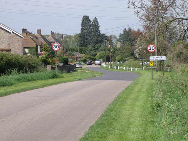
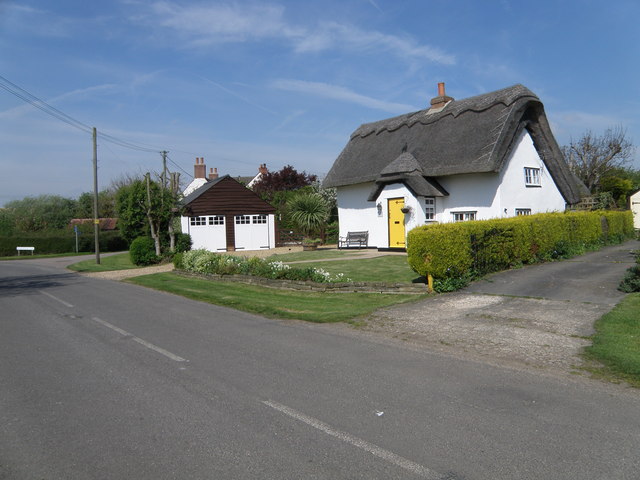
Upper Staploe
Upper Staploe is a hamlet located in the Borough of Bedford in the county of Bedfordshire, England. The settlement is close to Honeydon and Staploe, and...
Staploe
Staploe is a village and civil parish located in the Borough of Bedford in Bedfordshire, England. Staploe was originally a hamlet of Eaton Socon. Under...
Duloe, Bedfordshire
Duloe is a hamlet in the English county of Bedfordshire. A former spelling of the name may be "Devylho" or "Deuylho", as seen in 1460, in a legal record...
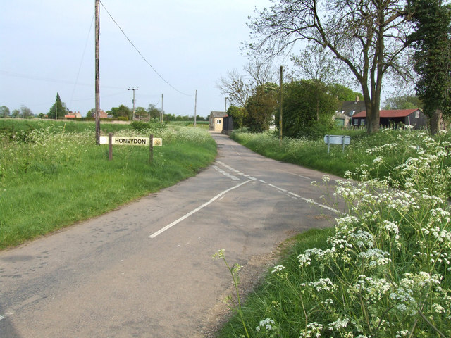
Honeydon
Honeydon is a hamlet located in the Borough of Bedford in Bedfordshire, England. Honeydon lies in the civil parish of Staploe (where the 2011 Census population...
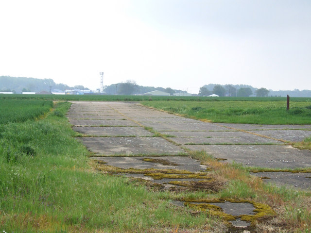
RAF Little Staughton
Royal Air Force Little Staughton or more simply RAF Little Staughton is a former Royal Air Force station located 1.7 miles (2.7 km) south of Great Staughton...

Bushmead Priory
The Priory Church of Saint Mary, Bushmead, commonly called Bushmead Priory, was a monastic foundation for Augustinian Canons, located at Bushmead (a hamlet...

Hail Weston
Hail Weston is a village and civil parish in Cambridgeshire, England. Hail Weston lies approximately 7 miles (11 km) south of Huntingdon. Hail Weston is...

The Royal Oak, Hail Weston
The Royal Oak is a 17th-century pub in the village of Hail Weston, Cambridgeshire (historically Huntingdonshire). It is the last remaining pub in the village...
Nearby Amenities
Located within 500m of 52.234553,-0.33385913Have you been to The Belt?
Leave your review of The Belt below (or comments, questions and feedback).