Gratwicke's Wood
Wood, Forest in Sussex Horsham
England
Gratwicke's Wood
Gratwicke's Wood, located in Sussex, England, is a picturesque forest that covers an area of approximately 40 hectares. Nestled in the South Downs National Park, this woodland is a haven for nature lovers and outdoor enthusiasts.
The wood is named after the Gratwicke family, who were the original owners of the land in the 19th century. Today, it is maintained by the Sussex Wildlife Trust, who have worked tirelessly to preserve its natural beauty and protect the diverse range of flora and fauna that call it home.
One of the highlights of Gratwicke's Wood is its ancient woodland, which has been standing for centuries. This ancient woodland is primarily made up of oak, ash, hazel, and holly trees, creating a rich and diverse habitat for a variety of wildlife species.
The forest floor is carpeted with bluebells during the spring months, creating a stunning display of color and fragrance. In addition to bluebells, visitors can also spot other wildflowers, such as wood anemones and primroses, adding to the wood's natural charm.
Gratwicke's Wood is also home to a range of wildlife, including rare butterflies, birds, and mammals. It provides a vital habitat for species such as the common dormouse, nightingale, and the silver-washed fritillary butterfly.
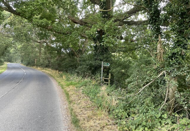
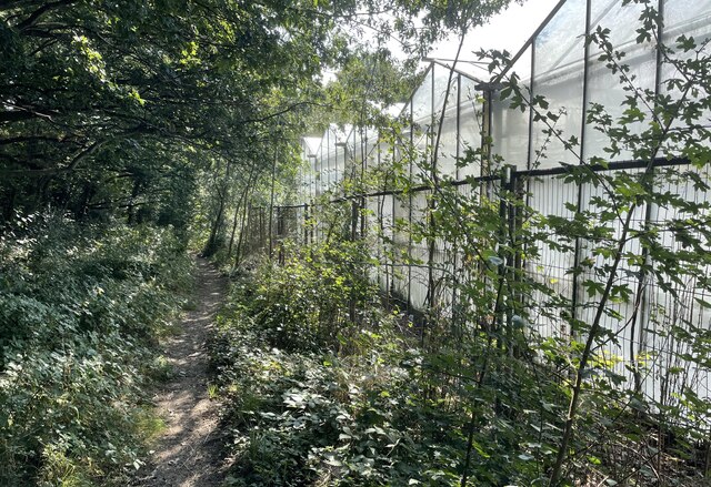
Visitors to the wood can explore its many walking trails and enjoy the tranquility of the surroundings. It is a popular spot for birdwatching, photography, and simply immersing oneself in nature.
Overall, Gratwicke's Wood is a hidden gem in Sussex, offering a unique and beautiful natural environment for visitors to enjoy and appreciate. Its ancient woodland, diverse flora, and abundant wildlife make it a must-visit destination for nature enthusiasts.
If you have any feedback on the listing, please let us know in the comments section below.
Gratwicke's Wood Images
Images are sourced within 2km of 50.933051/-0.38190549 or Grid Reference TQ1316. Thanks to Geograph Open Source API. All images are credited.


Gratwicke's Wood is located at Grid Ref: TQ1316 (Lat: 50.933051, Lng: -0.38190549)
Administrative County: West Sussex
District: Horsham
Police Authority: Sussex
What 3 Words
///gearing.beak.living. Near Ashington, West Sussex
Nearby Locations
Related Wikis

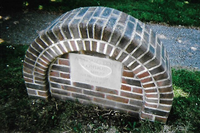
Ashington, West Sussex
Ashington is a village and civil parish in the Horsham District of West Sussex, England. It lies on the A24 road 3 miles (4.8 km) north-east of Storrington...

Wiston, West Sussex
Wiston is a scattered village and civil parish in the Horsham District of West Sussex, England. It lies on the A283 road 2.8 miles (4.5 km) northwest of...

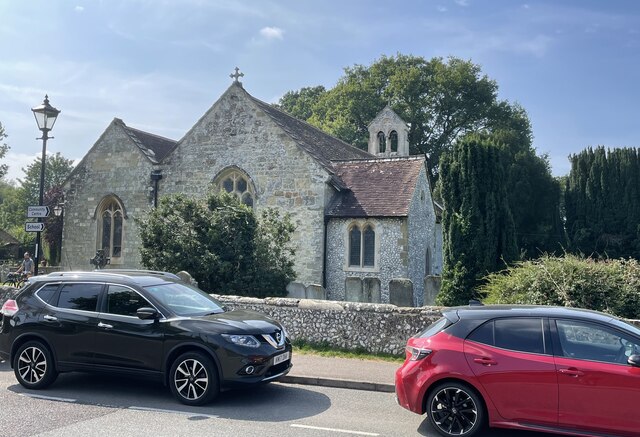
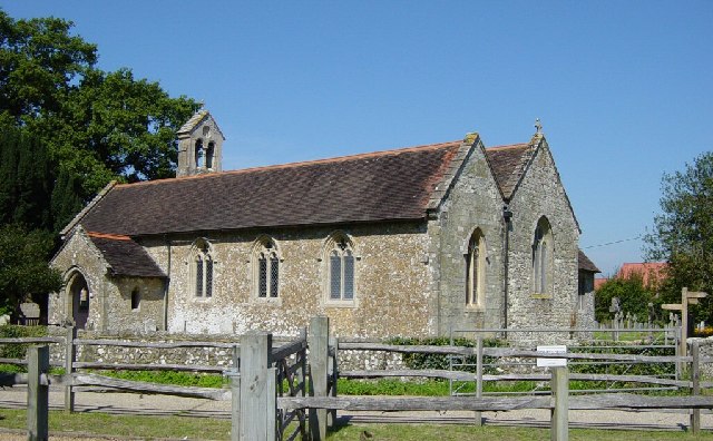
Church of the Holy Sepulchre, Warminghurst
The Church of the Holy Sepulchre is a former Anglican church in the hamlet of Warminghurst in the district of Horsham, one of seven local government districts...

Warminghurst
Warminghurst is a village and former civil parish, now in the parish of Thakeham, in the Horsham district of West Sussex, England. It lies on the Ashington...

Buncton
Buncton () is a small village in the Horsham District of West Sussex, England, part of the civil parish of Wiston 0.5 miles (0.80 km) north. It lies to...
All Saints Church, Buncton
All Saints Church is an Anglican church in the hamlet of Buncton in the district of Horsham, one of seven local government districts in the English county...

Rock Mill, Washington
Rock Mill is a Grade II listed smock mill at Washington, West Sussex, England, which has been converted to residential use. == History == Rock Mill was...

South Downs National Park
The South Downs National Park is England's newest national park, designated on 31 March 2010. The park, covering an area of 1,627 square kilometres (628...
Nearby Amenities
Located within 500m of 50.933051,-0.38190549Have you been to Gratwicke's Wood?
Leave your review of Gratwicke's Wood below (or comments, questions and feedback).