Popple's Coppice

Wood, Forest in Northamptonshire

England

Popple's Coppice

Salter's Tree, Marholm Road Bridleway crossing. <span class="nowrap"><a title="https://langdyke.org.uk/welcome-to-langdyke-countyside-trust/about-langdyke/walks/the-salters-way-walk/" rel="nofollow ugc noopener" href="https://langdyke.org.uk/welcome-to-langdyke-countyside-trust/about-langdyke/walks/the-salters-way-walk/">Link</a><img style="margin-left:2px;" alt="External link" title="External link - shift click to open in new window" src="https://s1.geograph.org.uk/img/external.png" width="10" height="10"/></span> , describing a local 'Salter's Way' walk, which takes the bridleway to the left says: "‘Salter’s’ is significant. There is a Salter’s Way and Salter’s Wood as well as families of Salter’s living around here. We know there was a gibbet and a great elm tree which some villagers remember. A man called Salter may have been hanged or hanged himself from it but most likely it was the place where medieval salt traders met to do business outside of the village."
Salter's Tree, Marholm Road Credit: Tim Heaton

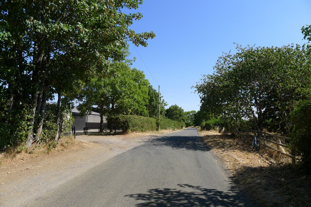
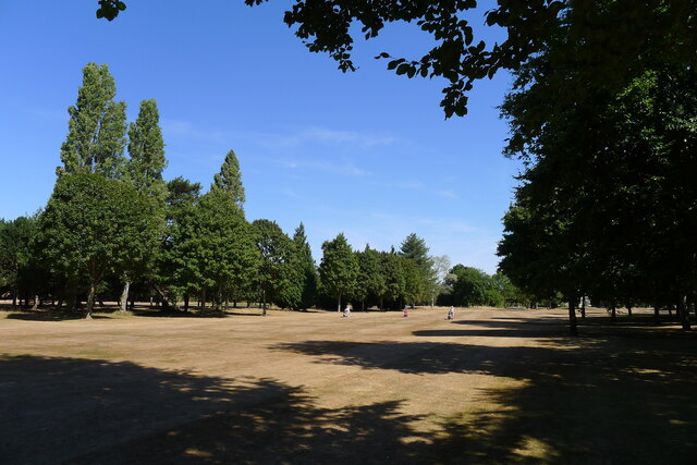
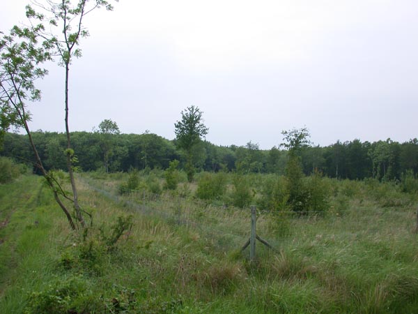
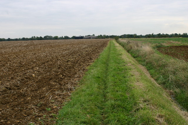
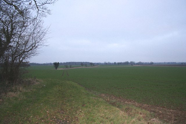
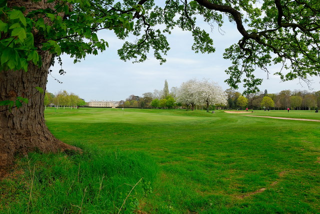
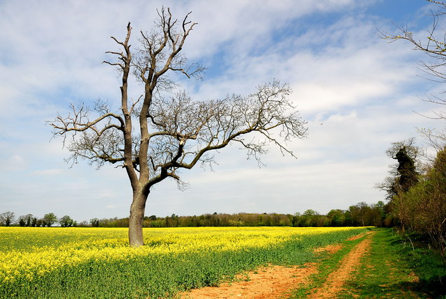
Popple's Coppice is a renowned woodland area located in Northamptonshire, England. Covering an extensive area, it is considered one of the most picturesque and biodiverse forests in the region. The coppice is situated in the heart of the countryside, surrounded by scenic landscapes and rolling hills.

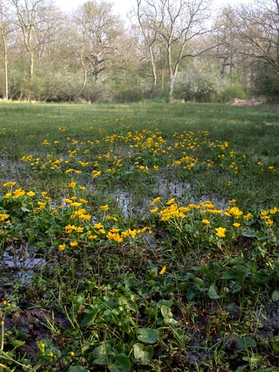
The woodland is predominantly composed of broad-leaved trees, with oak, beech, and ash being the most common species. These majestic trees provide a dense canopy that allows only dappled sunlight to filter through, creating a tranquil and enchanting atmosphere. The forest floor is adorned with a vibrant carpet of wildflowers, including bluebells, primroses, and wood anemones, especially during springtime.

Popple's Coppice is home to a diverse range of wildlife, making it a popular destination for nature enthusiasts. Birdwatchers can spot various species, such as woodpeckers, owls, and warblers. The forest also provides a habitat for mammals like deer, foxes, and badgers, while the nearby streams and ponds attract amphibians and reptiles.

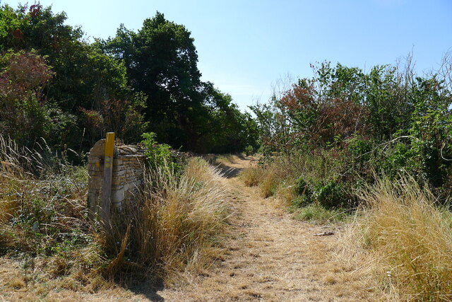
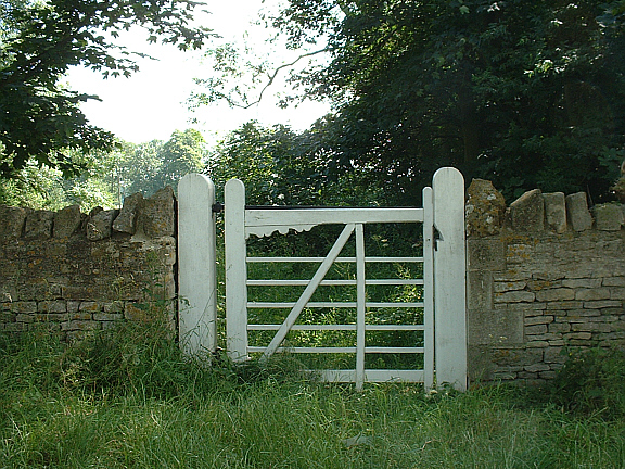
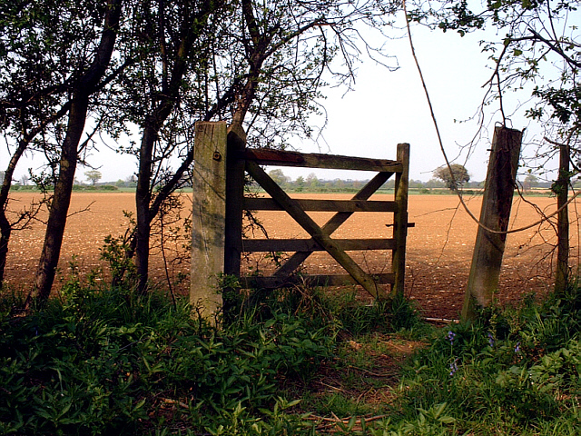
The woodland offers a network of well-maintained walking trails, allowing visitors to explore its beauty at their leisure. Hikers can choose from a range of routes, varying in length and difficulty, and immerse themselves in the tranquility of the forest. The woodland also provides an excellent opportunity for photography, with its stunning vistas and diverse flora and fauna.

In conclusion, Popple's Coppice is a captivating woodland in Northamptonshire, offering visitors a chance to escape the hustle and bustle of urban life and immerse themselves in the beauty of nature.

If you have any feedback on the listing, please let us know in the comments section below.

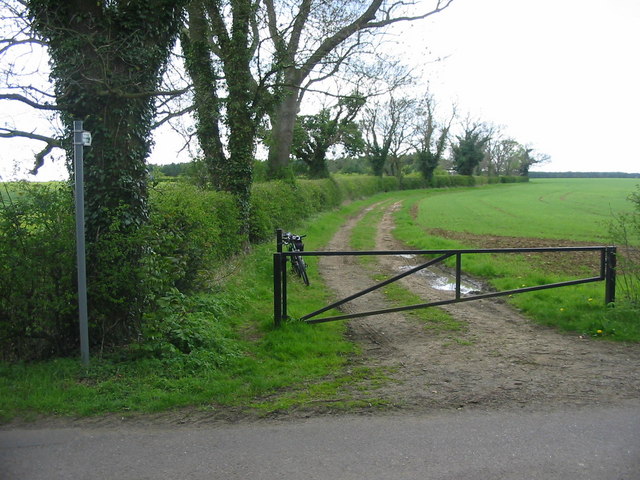
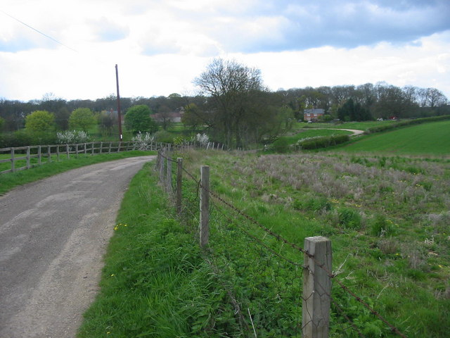
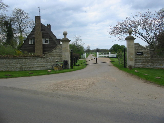
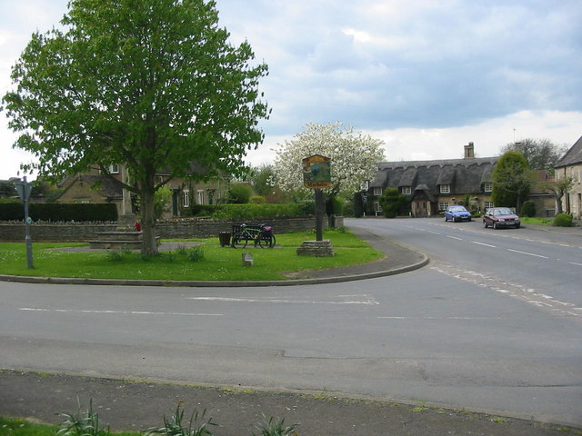
Popple's Coppice Images

Images are sourced within 2km of 52.594808/-0.32830125 or Grid Reference TF1300. Thanks to Geograph Open Source API. All images are credited.

Salter's Tree, Marholm Road Bridleway crossing. <span class="nowrap"><a title="https://langdyke.org.uk/welcome-to-langdyke-countyside-trust/about-langdyke/walks/the-salters-way-walk/" rel="nofollow ugc noopener" href="https://langdyke.org.uk/welcome-to-langdyke-countyside-trust/about-langdyke/walks/the-salters-way-walk/">Link</a><img style="margin-left:2px;" alt="External link" title="External link - shift click to open in new window" src="https://s1.geograph.org.uk/img/external.png" width="10" height="10"/></span> , describing a local 'Salter's Way' walk, which takes the bridleway to the left says: "‘Salter’s’ is significant. There is a Salter’s Way and Salter’s Wood as well as families of Salter’s living around here. We know there was a gibbet and a great elm tree which some villagers remember. A man called Salter may have been hanged or hanged himself from it but most likely it was the place where medieval salt traders met to do business outside of the village."
Salter's Tree, Marholm Road
Bridleway crossing. LinkExternal link , describing a local 'Salter's Way' walk, which takes the bridleway to the left says: "‘Salter’s’ is significant. There is a Salter’s Way and Salter’s Wood as well as families of Salter’s living around here. We know there was a gibbet and a great elm tree which some villagers remember. A man called Salter may have been hanged or hanged himself from it but most likely it was the place where medieval salt traders met to do business outside of the village."
Bridleway along the edge of Crickety Park The stone wall probably defines the boundary of the Milton Hall estate. The path to the left crosses the Peterborough Milton Golf Club course.
Bridleway along the edge of Crickety Park
The stone wall probably defines the boundary of the Milton Hall estate. The path to the left crosses the Peterborough Milton Golf Club course.
Peterborough Milton Golf Club course Parched 6th fairway - but the greens were green. <span class="nowrap"><a title="https://www.pmgc.org.uk/" rel="nofollow ugc noopener" href="https://www.pmgc.org.uk/">Link</a><img style="margin-left:2px;" alt="External link" title="External link - shift click to open in new window" src="https://s1.geograph.org.uk/img/external.png" width="10" height="10"/></span>
Peterborough Milton Golf Club course
Parched 6th fairway - but the greens were green. LinkExternal link
Marsh Marigolds at Castor Hanglands Marsh Marigolds grow in the damp areas at Castor Hanglands, a National Nature Reserve west of Peterborough.
Marsh Marigolds at Castor Hanglands
Marsh Marigolds grow in the damp areas at Castor Hanglands, a National Nature Reserve west of Peterborough.
Castor Hanglands NNR Castor Hanglands was formerly a hunting ground for local kings. Now it's a nature reserve with an interesting mix of habitats. The fencing is to keep the Fallow Deer out.
Castor Hanglands NNR
Castor Hanglands was formerly a hunting ground for local kings. Now it's a nature reserve with an interesting mix of habitats. The fencing is to keep the Fallow Deer out.
Bridleway and farmland northeast of Castor
Marholm church View of St Mary's Church, Marholm.
Marholm church
View of St Mary's Church, Marholm.
View to Steeping Wood
Open Farmland near Milton Park Path leading into open farmland near Milton Park to the west of Peterborough.
Open Farmland near Milton Park
Path leading into open farmland near Milton Park to the west of Peterborough.
Belsize Farm Belsize Farm near the village of Marholm.
Belsize Farm
Belsize Farm near the village of Marholm.
Stamford Lodge - Milton Park Stamford Lodge stands at the entrance to one of the driveways leading into Milton Park.
Stamford Lodge - Milton Park
Stamford Lodge stands at the entrance to one of the driveways leading into Milton Park.
Marholm Village Centre Marholm is a pretty little village just outside the city of Peterborough.  The view has the essentials of a typical village scene - the village green with its sign, war memorial and a pub in the distance.
Marholm Village Centre
Marholm is a pretty little village just outside the city of Peterborough. The view has the essentials of a typical village scene - the village green with its sign, war memorial and a pub in the distance.
Gated Wall nr Marholm, Peterborough One of the gates in the drystone wall surrounding Milton Park, nr Marholm, Peterborough.
Gated Wall nr Marholm, Peterborough
One of the gates in the drystone wall surrounding Milton Park, nr Marholm, Peterborough.
Southern entrance to Castor Hanglands NNR, a few miles west of Peterborough The signs on the gate warn that Dexter cattle are grazing within the reserve. Elsewhere are signs warning walkers to be aware of the bull!
Southern entrance to Castor Hanglands NNR, a few miles west of Peterborough
The signs on the gate warn that Dexter cattle are grazing within the reserve. Elsewhere are signs warning walkers to be aware of the bull!
A47 at Ailsworth, Peterborough, looking west The A47 looking west as it passes beneath Helpston Road, Ailsworth, Peterborough. The break in the central barrier serves as a crossing for pedestrians and is signed as such on each carriageway. The road is quiet on Sundays - anyone using this crossing at any other time, risks life or limb!
A47 at Ailsworth, Peterborough, looking west
The A47 looking west as it passes beneath Helpston Road, Ailsworth, Peterborough. The break in the central barrier serves as a crossing for pedestrians and is signed as such on each carriageway. The road is quiet on Sundays - anyone using this crossing at any other time, risks life or limb!
Old gate in Castor Hanglands NNR An old gate on the eastern edge of Castor Hanglands NNR, nr Peterborough. The photograph was taken in April; the field beyond had already been seeded and come the Summer will be covered with golden corn.
Old gate in Castor Hanglands NNR
An old gate on the eastern edge of Castor Hanglands NNR, nr Peterborough. The photograph was taken in April; the field beyond had already been seeded and come the Summer will be covered with golden corn.
Peterborough Milton Golf Club Peterborough Milton Golf Club has a fine, well-established par 71 parkland course set in the grounds of the Fitzwilliam Estate, many of the holes being played in full view of Milton Hall. <span class="nowrap"><a title="http://www.pmgc.org.uk/page.aspx?pid=12808" rel="nofollow ugc noopener" href="http://www.pmgc.org.uk/page.aspx?pid=12808">Link</a><img style="margin-left:2px;" alt="External link" title="External link - shift click to open in new window" src="https://s1.geograph.org.uk/img/external.png" width="10" height="10"/></span>
Peterborough Milton Golf Club
Peterborough Milton Golf Club has a fine, well-established par 71 parkland course set in the grounds of the Fitzwilliam Estate, many of the holes being played in full view of Milton Hall. LinkExternal link
Oil seed rape field near Milton Park, Peterborough
Show me another place!

Popple's Coppice is located at Grid Ref: TF1300 (Lat: 52.594808, Lng: -0.32830125)

Division: Soke of Peterborough

Unitary Authority: Peterborough

Police Authority: Cambridgeshire

What 3 Words

///rising.scary.acute. Near Marholm, Cambridgeshire

Related Wikis

Milton Hall

Milton Hall near Peterborough, is the largest private house in Cambridgeshire, England. As part of the Soke of Peterborough, it was formerly part of Northamptonshire...

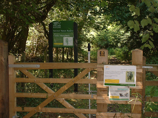
Castor Hanglands National Nature Reserve

Castor Hanglands is an 89.8-hectare (222-acre) biological Site of Special Scientific Interest west of Peterborough in Cambridgeshire. The site is also...

Marholm

Marholm is a village and civil parish in the Peterborough district, in the ceremonial county of Cambridgeshire, England. West of Peterborough and 1 mile...

Castor, Cambridgeshire

Castor is a village and civil parish in the City of Peterborough unitary authority, about 4 miles (6.4 km) west of the city centre. The parish is part...

Grimeshaw Wood

Grimeshaw Wood is a 16.8-hectare (42-acre) Local Nature Reserve on the western outskirts of Peterborough in Cambridgeshire. It is owned by Peterborough...

Upton, Peterborough

Upton is a village and civil parish in the Peterborough district, in the ceremonial county of Cambridgeshire, England. For electoral purposes it forms...

Ailsworth

Ailsworth or Ailesworth is a village and civil parish in the City of Peterborough unitary authority, about 4.5 miles (7.2 km) west of the city centre....

RAF Peterborough

Royal Air Force Peterborough or more simply RAF Peterborough is a former Royal Air Force installation in Cambridgeshire located 2 miles (3.2 km) northwest...

Have you been to Popple's Coppice?

Leave your review of Popple's Coppice below (or comments, questions and feedback).