Oldfield Pond

Lake, Pool, Pond, Freshwater Marsh in Northamptonshire

England

Oldfield Pond

The A47 passing to the north of Castor A dual carriageway section running from Peterborough towards the A1. If only all sections of this important cross-country road were dualled!
The A47 passing to the north of Castor Credit: Tim Heaton

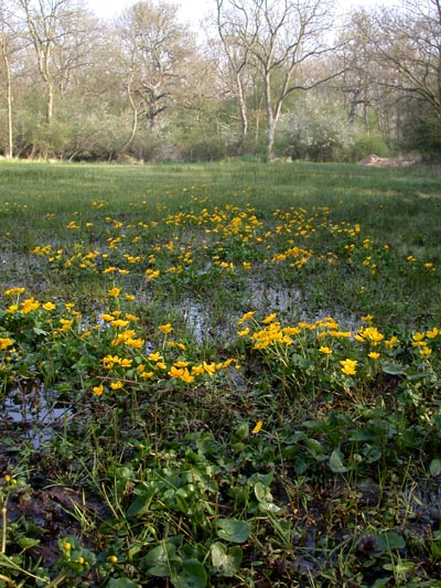
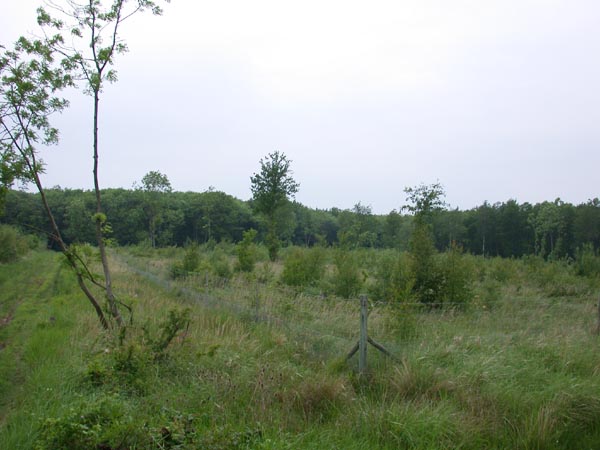
Oldfield Pond is a small freshwater body located in the county of Northamptonshire, England. It is categorized as a pond due to its relatively small size and shallow depth. The pond is situated within the larger Oldfield Marsh, which encompasses an area of wetland and is home to various species of fauna and flora.

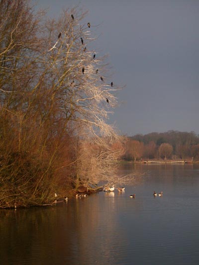
With a surface area of approximately 2 hectares, Oldfield Pond is surrounded by a diverse range of vegetation including reeds, rushes, and water lilies. These plants provide shelter and food for numerous aquatic animals such as fish, frogs, and water insects. The pond also attracts a variety of waterfowl, including ducks and swans, which can often be seen swimming gracefully across its calm waters.

Oldfield Pond is fed by both surface runoff and underground springs, ensuring a consistent supply of freshwater throughout the year. The water quality is generally good, making it a suitable habitat for a wide range of aquatic organisms.

The pond serves as an important breeding ground for amphibians such as frogs and toads, which lay their eggs in the shallow edges of the water. It also provides a valuable habitat for dragonflies and damselflies, which can be seen darting around the water's surface during the summer months.

Oldfield Pond is a popular spot for nature enthusiasts, who visit to observe and study the various species that inhabit the area. It provides a peaceful and serene environment, where visitors can enjoy the tranquility and beauty of this small but important freshwater ecosystem.

If you have any feedback on the listing, please let us know in the comments section below.

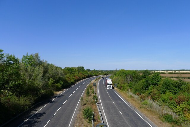
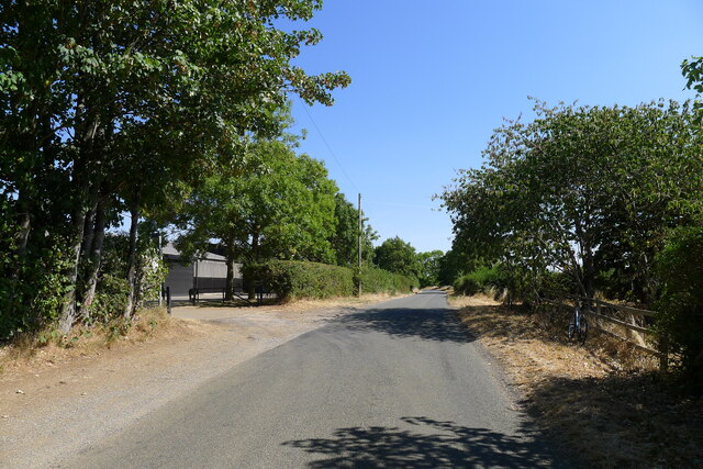
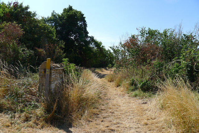
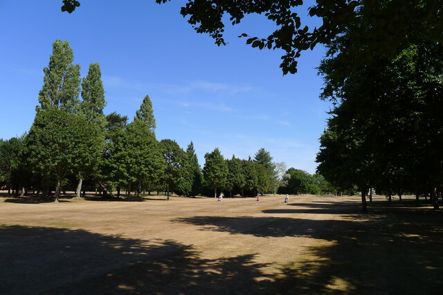
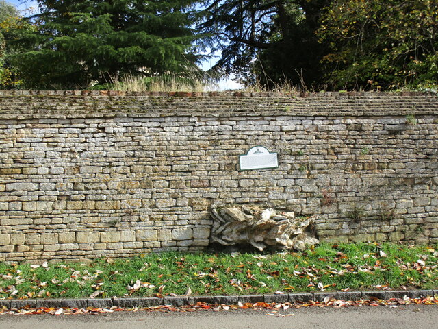
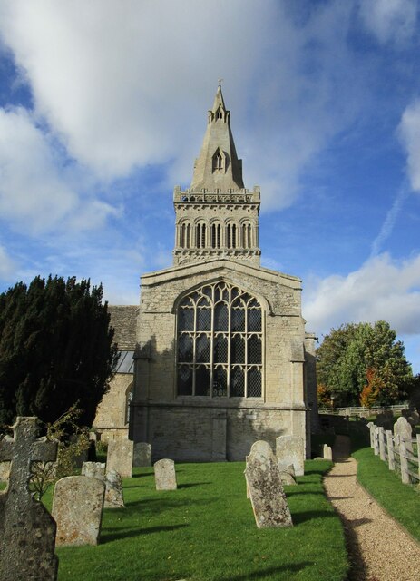
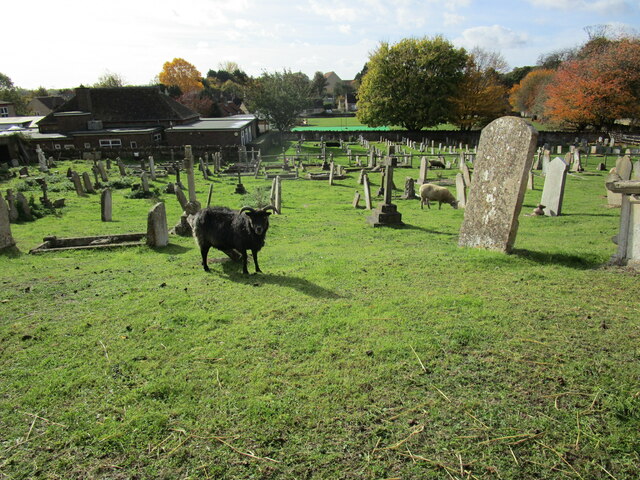
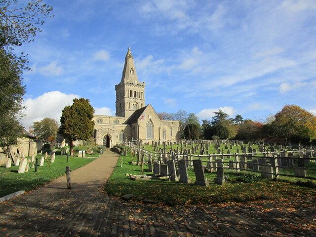
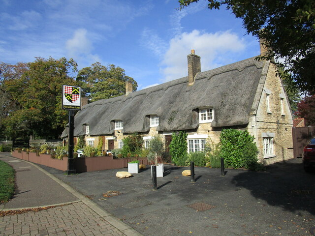
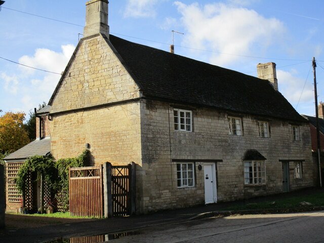
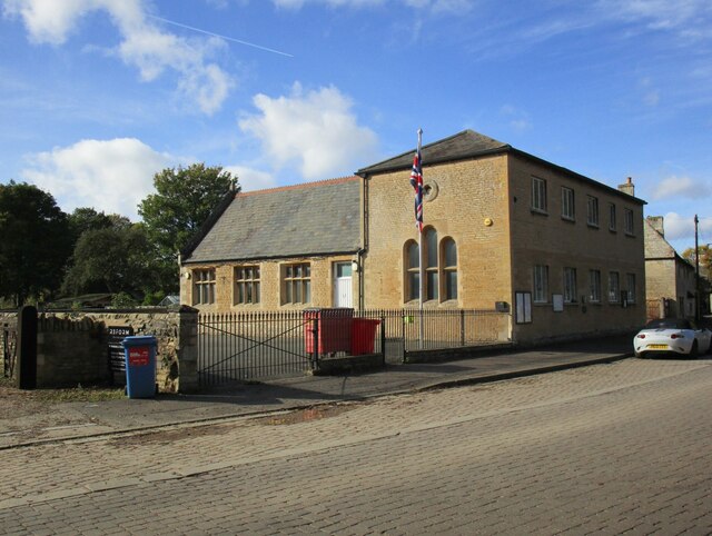
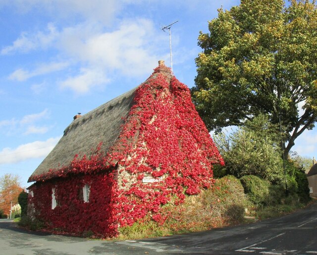
Oldfield Pond Images

Images are sourced within 2km of 52.588194/-0.33044249 or Grid Reference TF1300. Thanks to Geograph Open Source API. All images are credited.

The A47 passing to the north of Castor A dual carriageway section running from Peterborough towards the A1. If only all sections of this important cross-country road were dualled!
The A47 passing to the north of Castor
A dual carriageway section running from Peterborough towards the A1. If only all sections of this important cross-country road were dualled!
Salter's Tree, Marholm Road Bridleway crossing. <span class="nowrap"><a title="https://langdyke.org.uk/welcome-to-langdyke-countyside-trust/about-langdyke/walks/the-salters-way-walk/" rel="nofollow ugc noopener" href="https://langdyke.org.uk/welcome-to-langdyke-countyside-trust/about-langdyke/walks/the-salters-way-walk/">Link</a><img style="margin-left:2px;" alt="External link" title="External link - shift click to open in new window" src="https://s1.geograph.org.uk/img/external.png" width="10" height="10"/></span> , describing a local 'Salter's Way' walk, which takes the bridleway to the left says: "‘Salter’s’ is significant. There is a Salter’s Way and Salter’s Wood as well as families of Salter’s living around here. We know there was a gibbet and a great elm tree which some villagers remember. A man called Salter may have been hanged or hanged himself from it but most likely it was the place where medieval salt traders met to do business outside of the village."
Salter's Tree, Marholm Road
Bridleway crossing. LinkExternal link , describing a local 'Salter's Way' walk, which takes the bridleway to the left says: "‘Salter’s’ is significant. There is a Salter’s Way and Salter’s Wood as well as families of Salter’s living around here. We know there was a gibbet and a great elm tree which some villagers remember. A man called Salter may have been hanged or hanged himself from it but most likely it was the place where medieval salt traders met to do business outside of the village."
Bridleway along the edge of Crickety Park The stone wall probably defines the boundary of the Milton Hall estate. The path to the left crosses the Peterborough Milton Golf Club course.
Bridleway along the edge of Crickety Park
The stone wall probably defines the boundary of the Milton Hall estate. The path to the left crosses the Peterborough Milton Golf Club course.
Peterborough Milton Golf Club course Parched 6th fairway - but the greens were green. <span class="nowrap"><a title="https://www.pmgc.org.uk/" rel="nofollow ugc noopener" href="https://www.pmgc.org.uk/">Link</a><img style="margin-left:2px;" alt="External link" title="External link - shift click to open in new window" src="https://s1.geograph.org.uk/img/external.png" width="10" height="10"/></span>
Peterborough Milton Golf Club course
Parched 6th fairway - but the greens were green. LinkExternal link
Castor Church of England Primary School
Skulls in the wisteria Appear to be of some form of small goat.
Skulls in the wisteria
Appear to be of some form of small goat.
High Street, Castor
High Street, Castor
Roman walling, Castor Castor has extensive Roman remains though little is visible <span class="nowrap"><a title="https://historicengland.org.uk/listing/the-list/list-entry/1163316?section=official-list-entry" rel="nofollow ugc noopener" href="https://historicengland.org.uk/listing/the-list/list-entry/1163316?section=official-list-entry">Link</a><img style="margin-left:2px;" alt="External link" title="External link - shift click to open in new window" src="https://s1.geograph.org.uk/img/external.png" width="10" height="10"/></span>
Roman walling, Castor
Castor has extensive Roman remains though little is visible LinkExternal link
St Kyneburgha's church, Castor, from the east A fine church with Saxon origins. The tower dates from about 1100 and is topped by a fourteenth century spire. The chancel dates from the thirteenth century though the east window is later. <span class="nowrap"><a title="https://historicengland.org.uk/listing/the-list/list-entry/1126803?section=official-list-entry" rel="nofollow ugc noopener" href="https://historicengland.org.uk/listing/the-list/list-entry/1126803?section=official-list-entry">Link</a><img style="margin-left:2px;" alt="External link" title="External link - shift click to open in new window" src="https://s1.geograph.org.uk/img/external.png" width="10" height="10"/></span>
St Kyneburgha's church, Castor, from the east
A fine church with Saxon origins. The tower dates from about 1100 and is topped by a fourteenth century spire. The chancel dates from the thirteenth century though the east window is later. LinkExternal link
Sheep in the churchyard, Castor
St Kyneburgha's church, Castor An important Norman church with later additions <span class="nowrap"><a title="https://historicengland.org.uk/listing/the-list/list-entry/1126803?section=official-list-entry" rel="nofollow ugc noopener" href="https://historicengland.org.uk/listing/the-list/list-entry/1126803?section=official-list-entry">Link</a><img style="margin-left:2px;" alt="External link" title="External link - shift click to open in new window" src="https://s1.geograph.org.uk/img/external.png" width="10" height="10"/></span>
St Kyneburgha's church, Castor
An important Norman church with later additions LinkExternal link
The Fitzwilliam Arms, Castor Dates from the seventeenth century <span class="nowrap"><a title="https://historicengland.org.uk/listing/the-list/list-entry/1331572?section=official-list-entry" rel="nofollow ugc noopener" href="https://historicengland.org.uk/listing/the-list/list-entry/1331572?section=official-list-entry">Link</a><img style="margin-left:2px;" alt="External link" title="External link - shift click to open in new window" src="https://s1.geograph.org.uk/img/external.png" width="10" height="10"/></span>
The Fitzwilliam Arms, Castor
Dates from the seventeenth century LinkExternal link
43 and 45 Peterborough Road, Castor Date from the early eighteenth century <span class="nowrap"><a title="https://historicengland.org.uk/listing/the-list/list-entry/1309268?section=official-list-entry" rel="nofollow ugc noopener" href="https://historicengland.org.uk/listing/the-list/list-entry/1309268?section=official-list-entry">Link</a><img style="margin-left:2px;" alt="External link" title="External link - shift click to open in new window" src="https://s1.geograph.org.uk/img/external.png" width="10" height="10"/></span>
43 and 45 Peterborough Road, Castor
Date from the early eighteenth century LinkExternal link
The Village Hall, Castor Built as a school in 1829 <span class="nowrap"><a title="https://historicengland.org.uk/listing/the-list/list-entry/1163203?section=official-list-entry" rel="nofollow ugc noopener" href="https://historicengland.org.uk/listing/the-list/list-entry/1163203?section=official-list-entry">Link</a><img style="margin-left:2px;" alt="External link" title="External link - shift click to open in new window" src="https://s1.geograph.org.uk/img/external.png" width="10" height="10"/></span>
The Village Hall, Castor
Built as a school in 1829 LinkExternal link
Stone Lea, Castor Eighteenth century cottage <span class="nowrap"><a title="https://historicengland.org.uk/listing/the-list/list-entry/1162604?section=official-list-entry" rel="nofollow ugc noopener" href="https://historicengland.org.uk/listing/the-list/list-entry/1162604?section=official-list-entry">Link</a><img style="margin-left:2px;" alt="External link" title="External link - shift click to open in new window" src="https://s1.geograph.org.uk/img/external.png" width="10" height="10"/></span> covered with Virginia Creeper.
Stone Lea, Castor
Eighteenth century cottage LinkExternal link covered with Virginia Creeper.
Marsh Marigolds at Castor Hanglands Marsh Marigolds grow in the damp areas at Castor Hanglands, a National Nature Reserve west of Peterborough.
Marsh Marigolds at Castor Hanglands
Marsh Marigolds grow in the damp areas at Castor Hanglands, a National Nature Reserve west of Peterborough.
Castor Hanglands NNR Castor Hanglands was formerly a hunting ground for local kings. Now it's a nature reserve with an interesting mix of habitats. The fencing is to keep the Fallow Deer out.
Castor Hanglands NNR
Castor Hanglands was formerly a hunting ground for local kings. Now it's a nature reserve with an interesting mix of habitats. The fencing is to keep the Fallow Deer out.
Show me another place!

Oldfield Pond is located at Grid Ref: TF1300 (Lat: 52.588194, Lng: -0.33044249)

Division: Soke of Peterborough

Unitary Authority: Peterborough

Police Authority: Cambridgeshire

What 3 Words

///wider.sticky.tanks. Near Ailsworth, Cambridgeshire

Related Wikis

Milton Hall

Milton Hall near Peterborough, is the largest private house in Cambridgeshire, England. As part of the Soke of Peterborough, it was formerly part of Northamptonshire...

Castor, Cambridgeshire

Castor is a village and civil parish in the City of Peterborough unitary authority, about 4 miles (6.4 km) west of the city centre. The parish is part...

Castor Hanglands National Nature Reserve

Castor Hanglands is an 89.8-hectare (222-acre) biological Site of Special Scientific Interest west of Peterborough in Cambridgeshire. The site is also...

Ailsworth

Ailsworth or Ailesworth is a village and civil parish in the City of Peterborough unitary authority, about 4.5 miles (7.2 km) west of the city centre....

Marholm

Marholm is a village and civil parish in the Peterborough district, in the ceremonial county of Cambridgeshire, England. West of Peterborough and 1 mile...

Upton, Peterborough

Upton is a village and civil parish in the Peterborough district, in the ceremonial county of Cambridgeshire, England. For electoral purposes it forms...

Nene Park, Peterborough

Nene Park is a country park in the city of Peterborough, Cambridgeshire in the United Kingdom. Opened in 1978, it occupies a site approximately three and...

Nene Valley Railway

The Nene Valley Railway (NVR) is a preserved railway in Cambridgeshire, England, running between Peterborough Nene Valley and Yarwell Junction. The line...

Have you been to Oldfield Pond?

Leave your review of Oldfield Pond below (or comments, questions and feedback).