Normans Copse
Wood, Forest in Sussex Horsham
England
Normans Copse
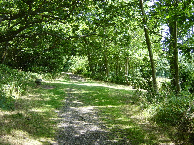
Normans Copse is a picturesque woodland located in Sussex, England. Spread across a vast area, it is a popular destination for nature enthusiasts and those seeking tranquility amidst nature's beauty. The copse is primarily composed of a mixture of deciduous and coniferous trees, creating a diverse and vibrant ecosystem.
The woodland is home to a variety of flora and fauna, including oak, beech, ash, and birch trees. These towering giants provide a canopy that shelters a rich undergrowth of ferns, bluebells, and wildflowers. The forest floor is adorned with moss-covered rocks and fallen leaves, adding to its enchanting charm.
Normans Copse is also a haven for wildlife, offering shelter and sustenance to numerous species. Visitors may spot deer, foxes, badgers, and a plethora of bird species, including woodpeckers, owls, and thrushes. The tranquil surroundings create a perfect habitat for these creatures, allowing them to thrive undisturbed.
The copse is crisscrossed by well-maintained walking trails, inviting visitors to explore its natural wonders. These trails offer an opportunity to immerse oneself in the serenity of the forest, while also providing a chance to observe the diverse flora and fauna up close. The woodland is especially breathtaking during the autumn months when the leaves change color, creating a stunning mosaic of red, orange, and gold.
Normans Copse is not only a place of natural beauty but also holds historical significance. The woodland has been a part of Sussex's landscape for centuries and has witnessed the passage of time. It serves as a reminder of the region's rich heritage and the importance of preserving and appreciating the natural world.
If you have any feedback on the listing, please let us know in the comments section below.
Normans Copse Images
Images are sourced within 2km of 50.923986/-0.39367405 or Grid Reference TQ1215. Thanks to Geograph Open Source API. All images are credited.


Normans Copse is located at Grid Ref: TQ1215 (Lat: 50.923986, Lng: -0.39367405)
Administrative County: West Sussex
District: Horsham
Police Authority: Sussex
What 3 Words
///balance.examples.neckline. Near Ashington, West Sussex
Nearby Locations
Related Wikis

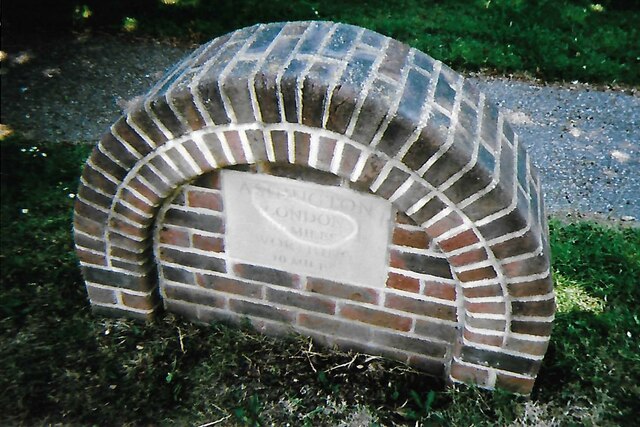
Ashington, West Sussex
Ashington is a village and civil parish in the Horsham District of West Sussex, England. It lies on the A24 road 3 miles (4.8 km) north-east of Storrington...

Rock Mill, Washington
Rock Mill is a Grade II listed smock mill at Washington, West Sussex, England, which has been converted to residential use. == History == Rock Mill was...

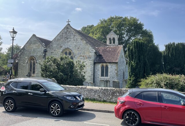
Wiston, West Sussex
Wiston is a scattered village and civil parish in the Horsham District of West Sussex, England. It lies on the A283 road 2.8 miles (4.5 km) northwest of...

Buncton
Buncton () is a small village in the Horsham District of West Sussex, England, part of the civil parish of Wiston 0.5 miles (0.80 km) north. It lies to...
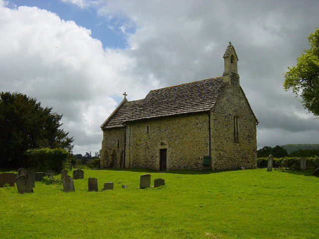
All Saints Church, Buncton
All Saints Church is an Anglican church in the hamlet of Buncton in the district of Horsham, one of seven local government districts in the English county...

Heath Common
Heath Common is a settlement in the Horsham District of West Sussex, England. It lies on the Storrington to Ashington road 1.5 miles (2.4 km) east of Storrington...
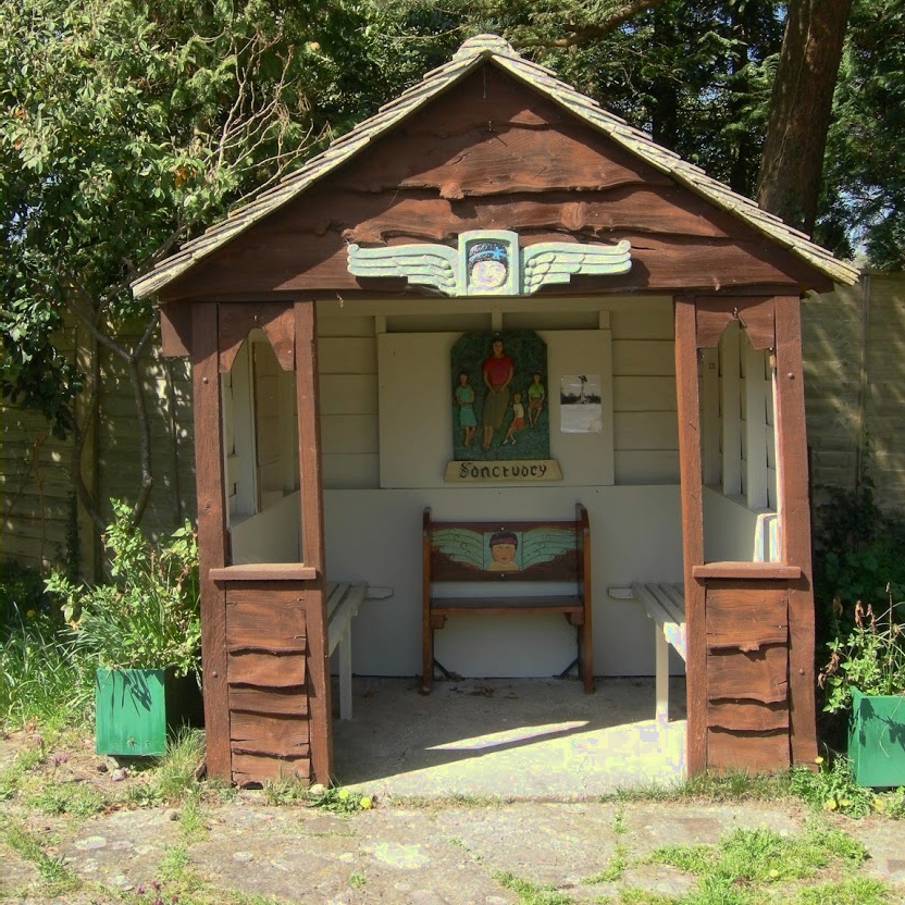
The Sanctuary (community)
The Sanctuary, near Storrington in West Sussex, England, was a utopian community which was founded in 1923 and lasted about a decade. == Founding and... ==
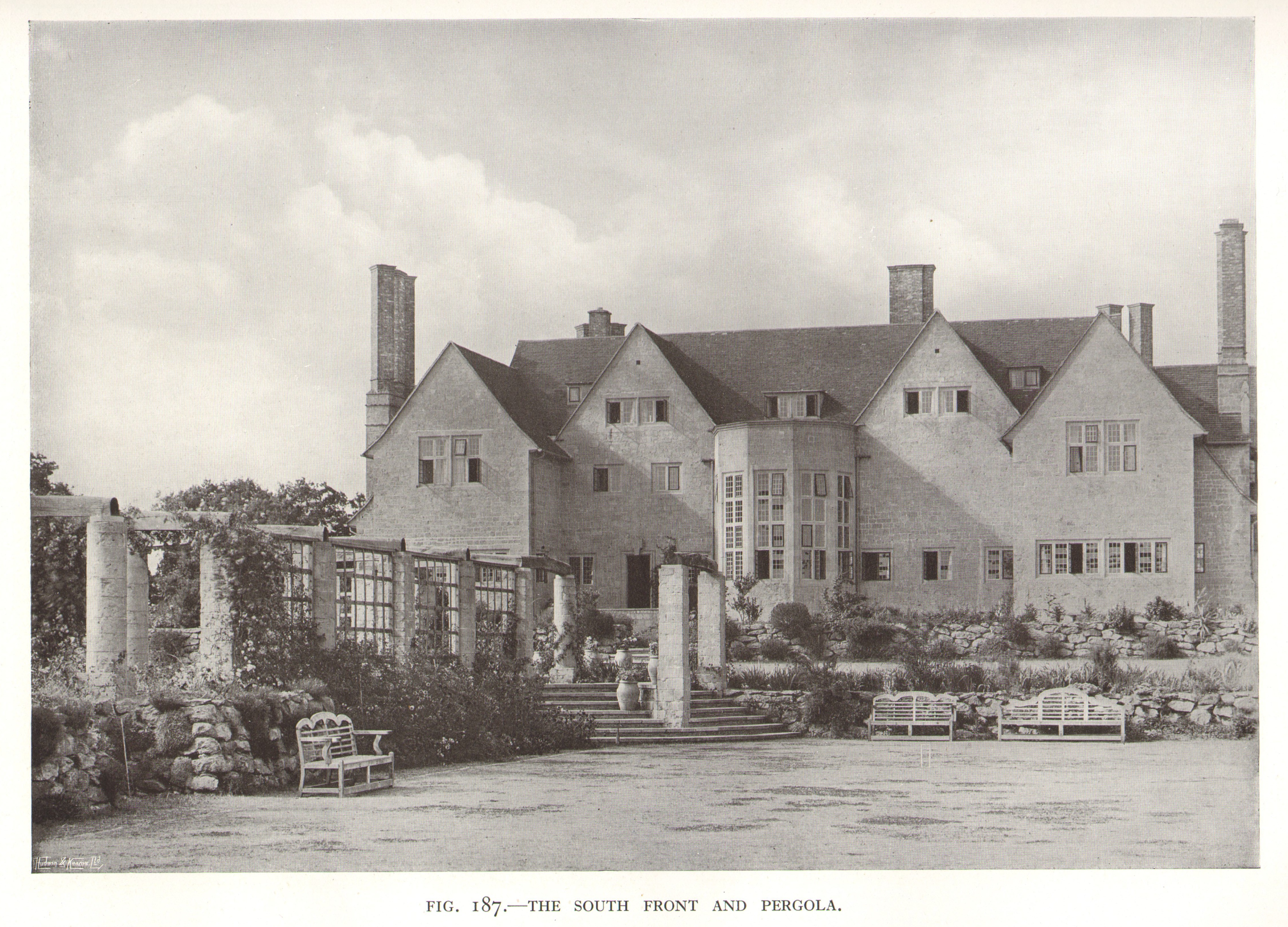
Little Thakeham
Little Thakeham is an Arts and Crafts style, Grade I listed private house in the parish of Thakeham, near the village of Storrington, in the Horsham district...
Nearby Amenities
Located within 500m of 50.923986,-0.39367405Have you been to Normans Copse?
Leave your review of Normans Copse below (or comments, questions and feedback).