Furzefield Copse
Wood, Forest in Sussex Horsham
England
Furzefield Copse
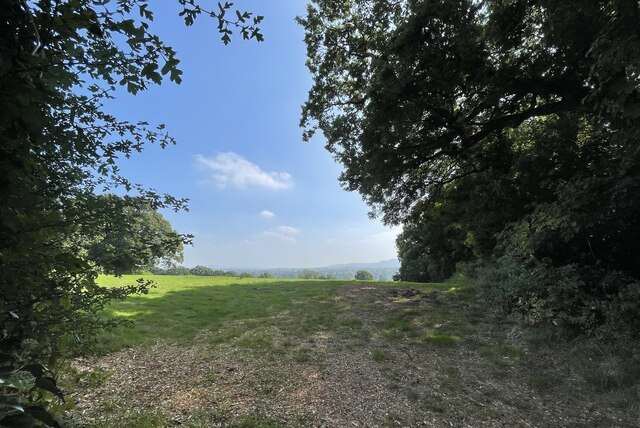
Furzefield Copse, located in Sussex, England, is a picturesque wood that stretches across a vast area, offering visitors a serene escape into nature. This enchanting forest is renowned for its diverse range of flora and fauna, making it a popular destination for nature enthusiasts and wildlife lovers.
The copse is characterized by its dense canopy of towering trees, predominantly consisting of oak, beech, and birch. These majestic trees provide a sheltered habitat for a myriad of woodland creatures, such as deer, foxes, badgers, and an array of bird species. Visitors may catch glimpses of these animals roaming freely throughout the copse, adding to the magical ambiance of the forest.
Additionally, the forest floor is adorned with a rich carpet of wildflowers, including bluebells, primroses, and wood anemones, creating a vibrant and colorful display during the spring and summer months. The scent of these blossoms permeates the air, enhancing the sensory experience for visitors.
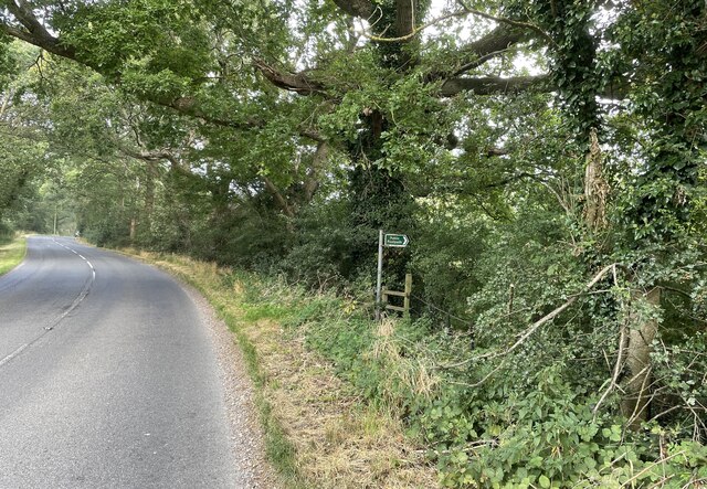
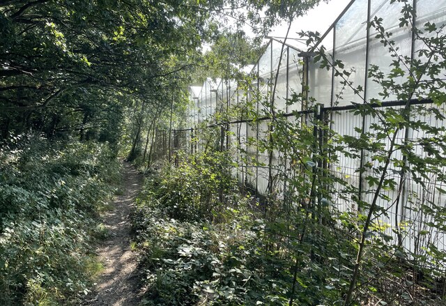
Furzefield Copse also boasts a network of well-maintained walking trails, allowing visitors to explore the wood at their own pace. These trails wind through the ancient woodland, offering glimpses of hidden glades, babbling brooks, and peaceful ponds. The copse is a haven for birdwatchers, with several designated spots for observing and listening to the melodic songs of various bird species.
Overall, Furzefield Copse is a captivating woodland that showcases the beauty and biodiversity of Sussex. Its tranquil setting, abundant wildlife, and flourishing flora make it a must-visit destination for those seeking solace in nature's embrace.
If you have any feedback on the listing, please let us know in the comments section below.
Furzefield Copse Images
Images are sourced within 2km of 50.931939/-0.40434384 or Grid Reference TQ1215. Thanks to Geograph Open Source API. All images are credited.


Furzefield Copse is located at Grid Ref: TQ1215 (Lat: 50.931939, Lng: -0.40434384)
Administrative County: West Sussex
District: Horsham
Police Authority: Sussex
What 3 Words
///estimates.unafraid.delusions. Near Ashington, West Sussex
Nearby Locations
Related Wikis

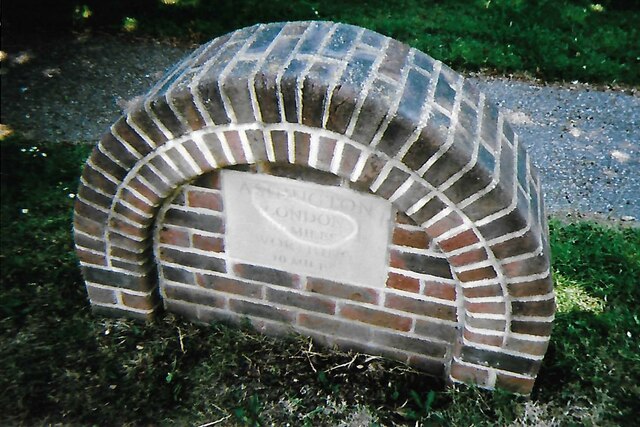
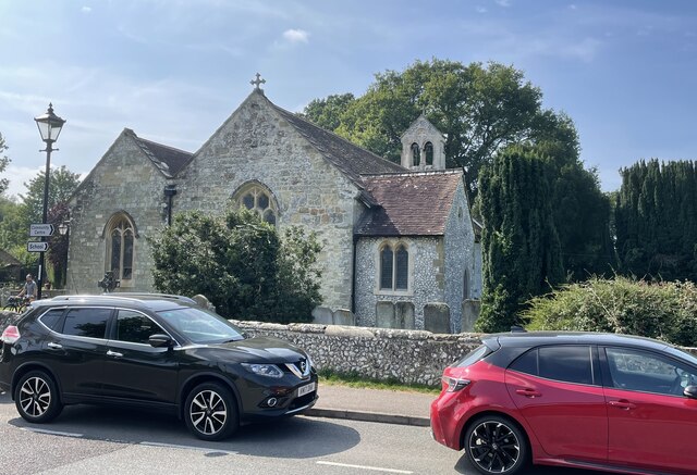
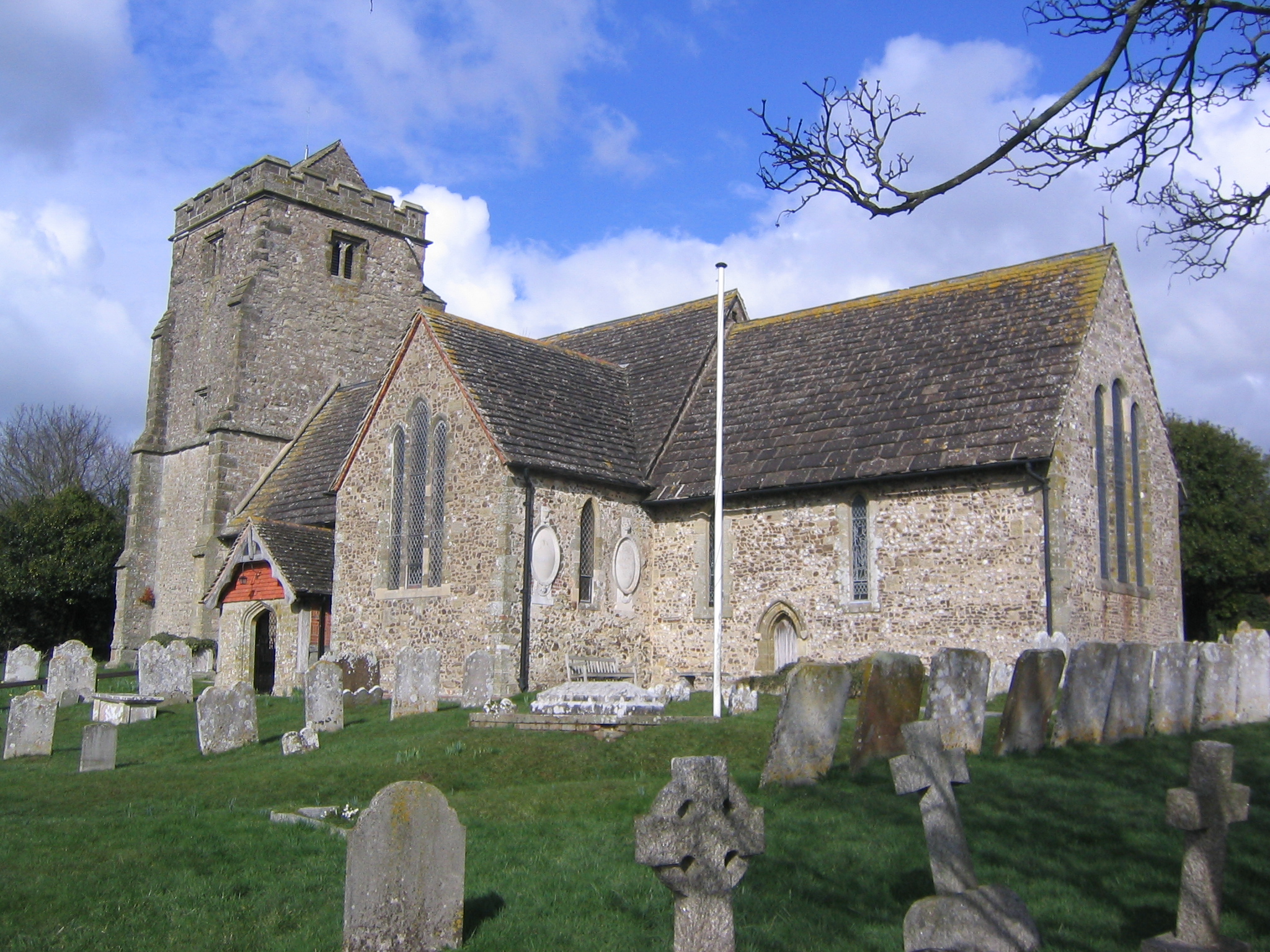
Ashington, West Sussex
Ashington is a village and civil parish in the Horsham District of West Sussex, England. It lies on the A24 road 3 miles (4.8 km) north-east of Storrington...

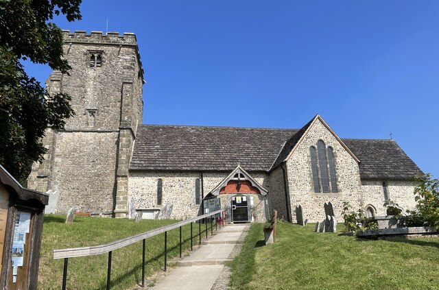
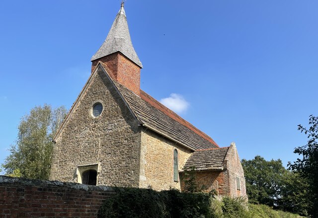
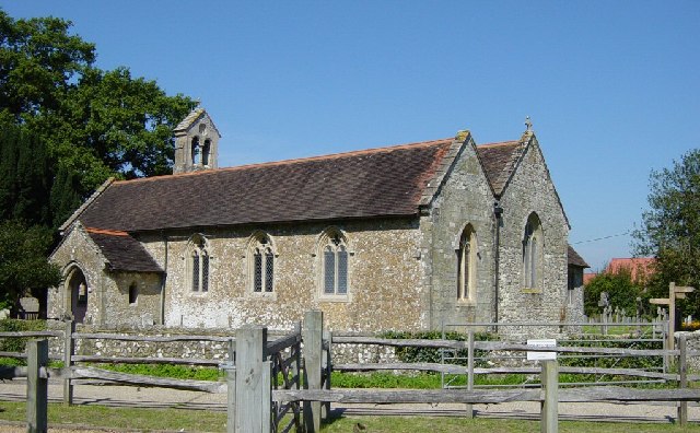
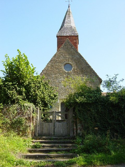
Church of the Holy Sepulchre, Warminghurst
The Church of the Holy Sepulchre is a former Anglican church in the hamlet of Warminghurst in the district of Horsham, one of seven local government districts...

Warminghurst
Warminghurst is a village and former civil parish, now in the parish of Thakeham, in the Horsham district of West Sussex, England. It lies on the Ashington...
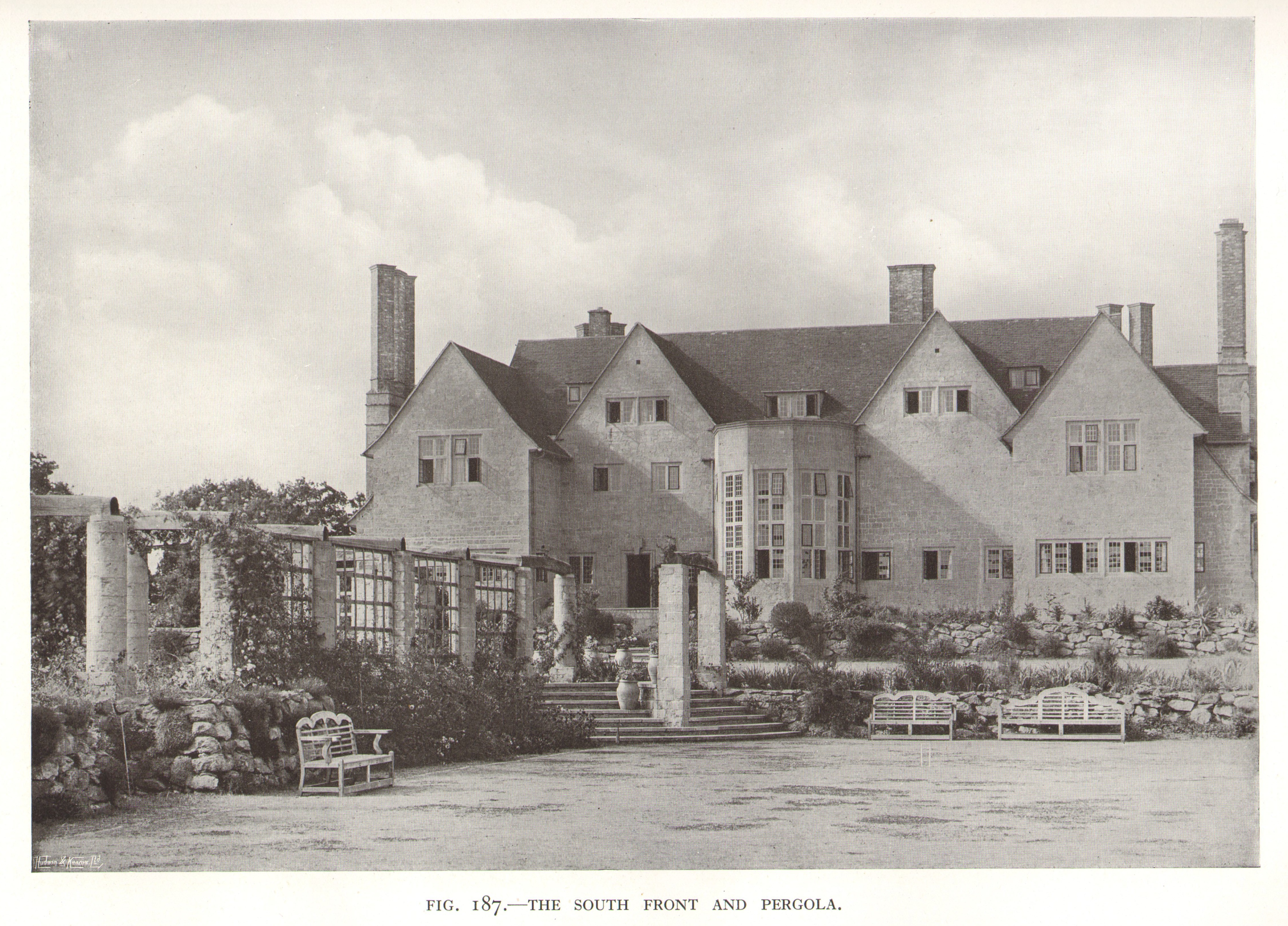
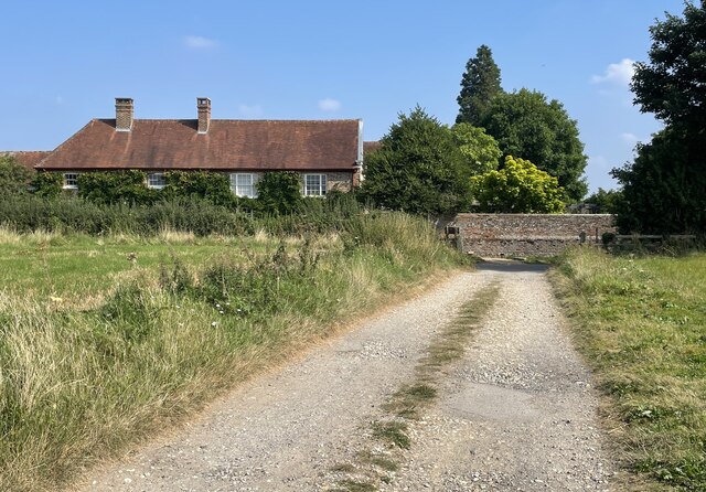
Little Thakeham
Little Thakeham is an Arts and Crafts style, Grade I listed private house in the parish of Thakeham, near the village of Storrington, in the Horsham district...

Heath Common
Heath Common is a settlement in the Horsham District of West Sussex, England. It lies on the Storrington to Ashington road 1.5 miles (2.4 km) east of Storrington...
Thakeham
Thakeham is a village and civil parish located north of the South Downs in the Horsham District of West Sussex, England. The village is situated approximately...
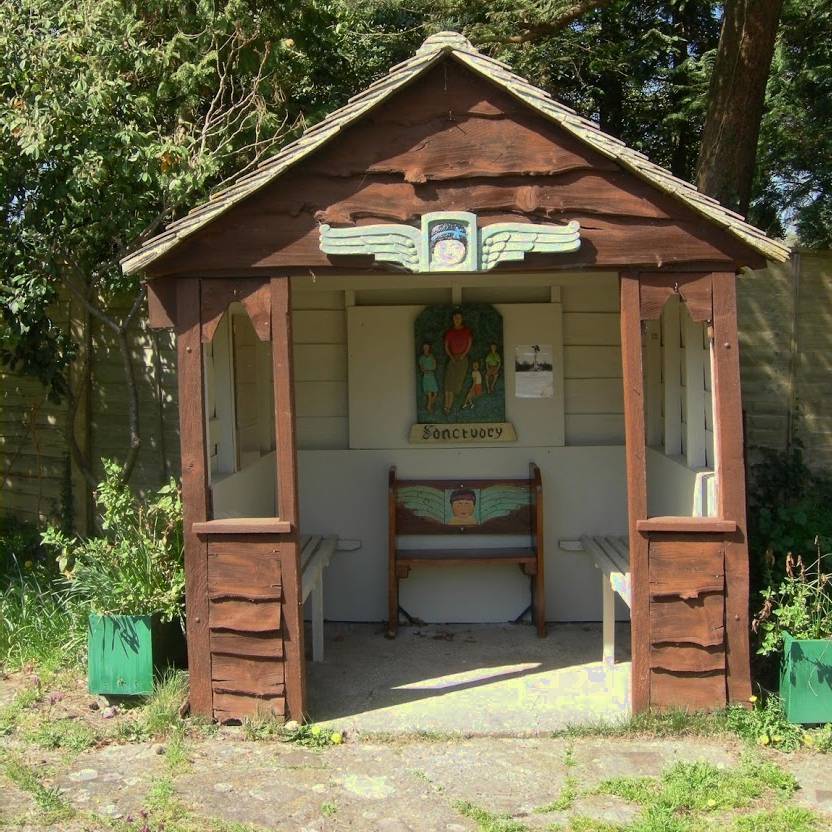
The Sanctuary (community)
The Sanctuary, near Storrington in West Sussex, England, was a utopian community which was founded in 1923 and lasted about a decade. == Founding and... ==

Rock Mill, Washington
Rock Mill is a Grade II listed smock mill at Washington, West Sussex, England, which has been converted to residential use. == History == Rock Mill was...
Nearby Amenities
Located within 500m of 50.931939,-0.40434384Have you been to Furzefield Copse?
Leave your review of Furzefield Copse below (or comments, questions and feedback).