Sands Wood
Wood, Forest in Yorkshire
England
Sands Wood

Sands Wood is a picturesque woodland located in the county of Yorkshire, England. Nestled in the heart of the region, this woodland covers a vast area and is known for its natural beauty and diverse ecosystem.
The wood is home to a wide variety of tree species, including oak, ash, beech, and birch. These towering trees create a dense canopy that provides shade and shelter for an array of wildlife. Visitors to Sands Wood can often spot deer, foxes, rabbits, and a plethora of bird species, making it a popular destination for nature enthusiasts and birdwatchers.
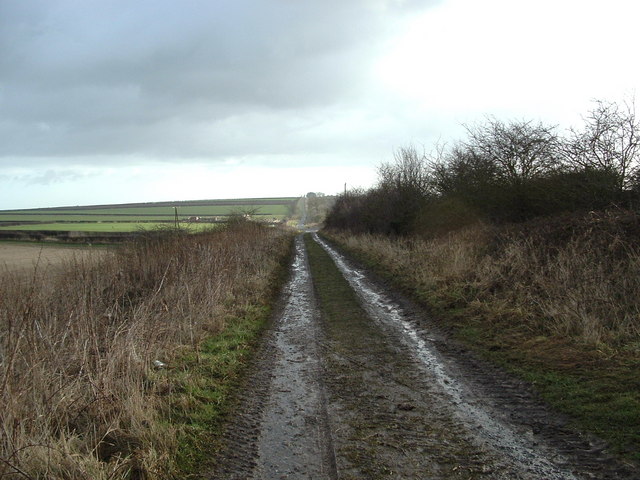
Tranquil walking trails wind through the wood, allowing visitors to explore the area at their own pace. These paths offer stunning views of the surrounding countryside, with glimpses of rolling hills and meandering streams. The wood is also crisscrossed by a network of small streams and rivers, adding to its charm and providing a water source for the local wildlife.
Sands Wood has a rich history, dating back centuries. It was once used as a source of timber for construction and fuel, and evidence of this can still be seen today in the form of old saw pits and abandoned charcoal kilns. The wood has also been designated as a Site of Special Scientific Interest, due to its importance in supporting a variety of plant and animal species.
Overall, Sands Wood is a captivating woodland in Yorkshire, offering a haven for nature lovers and a glimpse into the region's natural heritage.
If you have any feedback on the listing, please let us know in the comments section below.
Sands Wood Images
Images are sourced within 2km of 54.086675/-0.27424586 or Grid Reference TA1267. Thanks to Geograph Open Source API. All images are credited.


Sands Wood is located at Grid Ref: TA1267 (Lat: 54.086675, Lng: -0.27424586)
Division: East Riding
Unitary Authority: East Riding of Yorkshire
Police Authority: Humberside
What 3 Words
///trickling.inserting.beard. Near Boynton, East Yorkshire
Nearby Locations
Related Wikis

Bridlington Rural District
Bridlington was a rural district in the East Riding of Yorkshire in England from 1894 to 1974. It covered a coastal area, and surrounded the municipal...

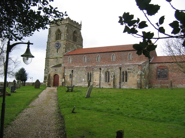
Boynton Hall
Boynton Hall is a country house in the village of Boynton near Bridlington, East Riding of Yorkshire, England. It is a Grade I listed building.Originally...

Boynton, East Riding of Yorkshire
Boynton is a village and civil parish in the East Riding of Yorkshire, England. It is situated approximately 3 miles (5 km) west of the town of Bridlington...
Woldgate
Woldgate is a minor road in the East Riding of Yorkshire, England, which follows the line of a Roman road. It runs for a distance of 10 miles (16 km)...
Carnaby, East Riding of Yorkshire
Carnaby is a small village and civil parish on the A614 road in the East Riding of Yorkshire, England. It is situated approximately 2 miles (3 km) south...

Haisthorpe
Haisthorpe is a village and former civil parish, now in the parish of Carnaby, in the East Riding of Yorkshire, England. It is situated approximately 4...
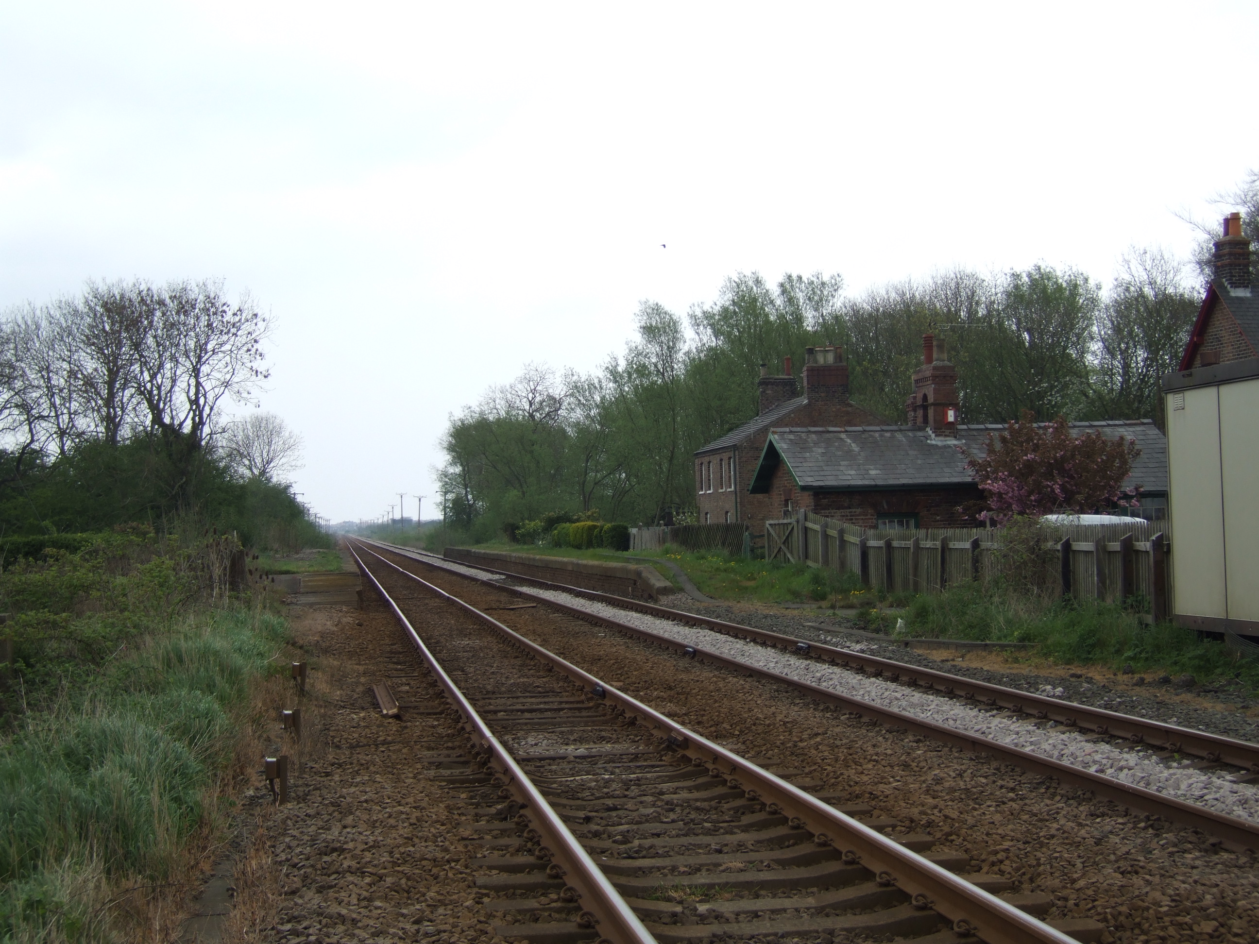
Carnaby railway station
Carnaby railway station was a minor railway station serving the village of Carnaby on the Yorkshire Coast Line from Scarborough to Hull, England. The station...
RAF Carnaby
Royal Air Force Carnaby or more simply RAF Carnaby is a former Royal Air Force emergency landing strip that offered crippled bombers a safe place to land...
Nearby Amenities
Located within 500m of 54.086675,-0.27424586Have you been to Sands Wood?
Leave your review of Sands Wood below (or comments, questions and feedback).