Boughton Plantation

Wood, Forest in Lincolnshire North Kesteven

England

Boughton Plantation

Cottages in Ewerby Thorpe
Cottages in Ewerby Thorpe Credit: Chris

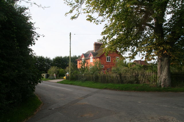
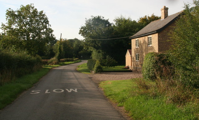
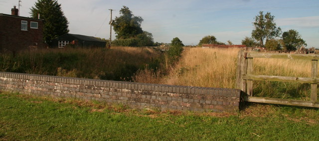
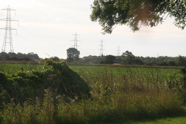
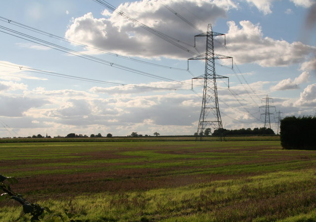
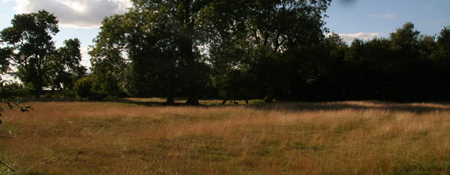
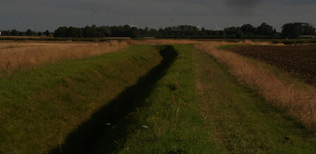
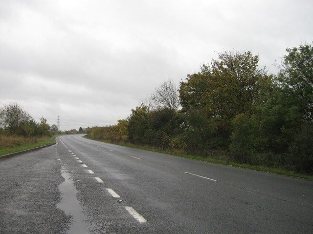
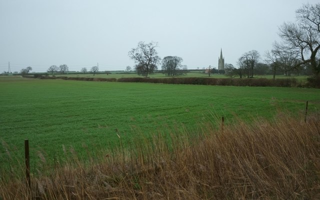
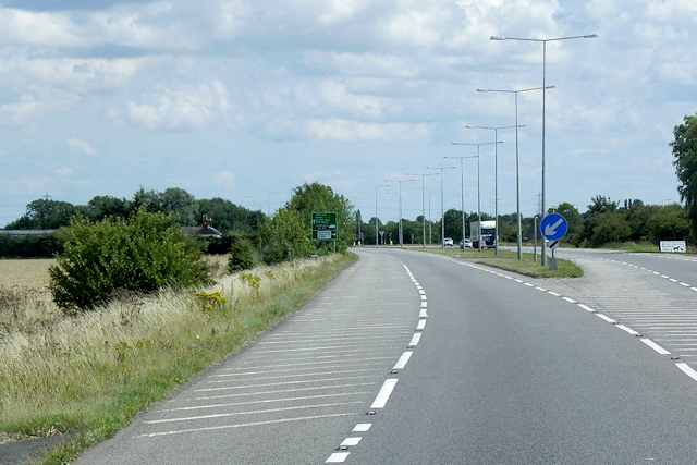
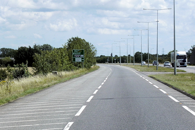
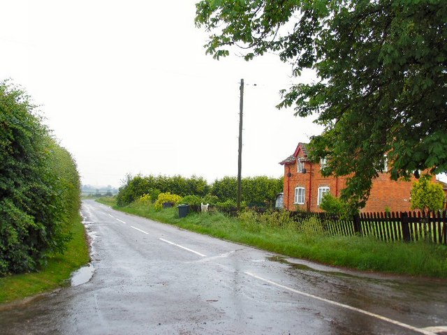
Boughton Plantation is a picturesque estate located in Lincolnshire, England. Situated in the heart of the county, the plantation is known for its expansive woodland and forested areas. Covering an area of approximately 500 acres, it offers a serene and tranquil environment for visitors to explore and enjoy.

The plantation boasts an impressive variety of trees, including oak, beech, and birch, which create a diverse and vibrant landscape throughout the year. The carefully maintained woodland is home to a rich array of wildlife, making it a popular destination for nature enthusiasts and birdwatchers.

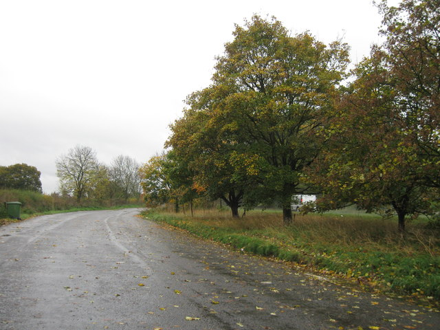
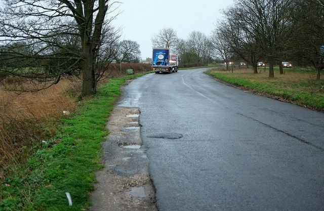
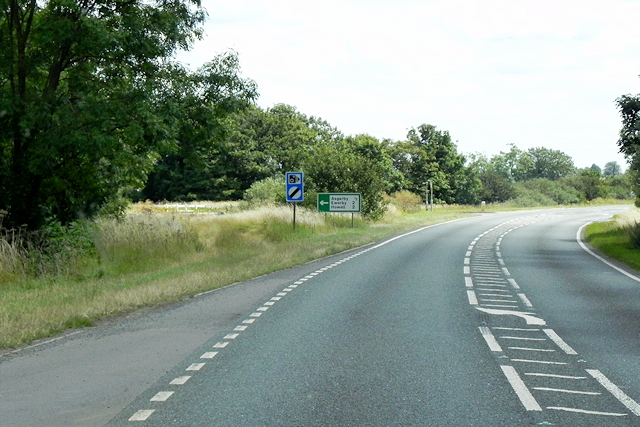
Visitors to Boughton Plantation can take advantage of the various walking trails that wind their way through the forest. These paths offer stunning views of the surrounding countryside and provide an opportunity to immerse oneself in the beauty of nature. The plantation also features picnic areas, allowing visitors to relax and enjoy a meal amidst the peaceful surroundings.

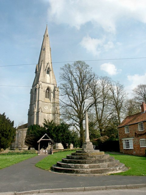
In addition to its natural beauty, Boughton Plantation has historical significance. It dates back several centuries and has been owned by the same family for generations. The estate includes a historic manor house that serves as a reminder of the region's past.

Boughton Plantation is open to the public, who can explore the woodland and enjoy the tranquility it offers. Whether it is a leisurely stroll, a birdwatching expedition, or a family picnic, the plantation provides a wonderful escape from the hustle and bustle of everyday life.

If you have any feedback on the listing, please let us know in the comments section below.

Boughton Plantation Images

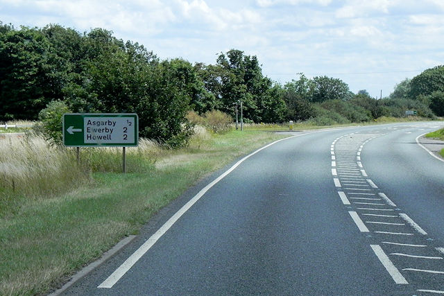
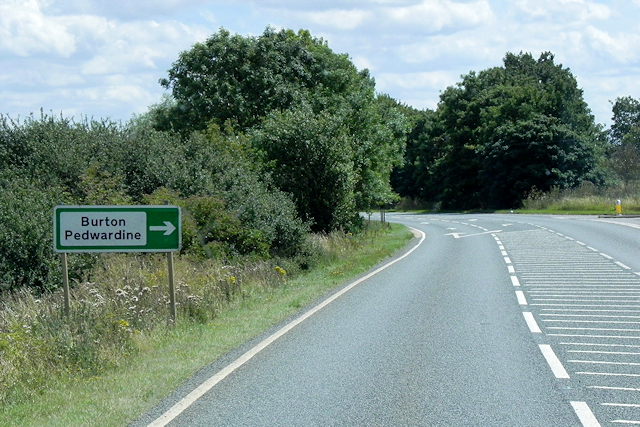
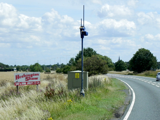
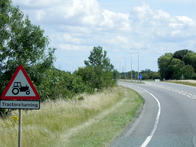
Images are sourced within 2km of 52.999155/-0.31801447 or Grid Reference TF1245. Thanks to Geograph Open Source API. All images are credited.

Cottages in Ewerby Thorpe
Cottage in Howell
Cottage in Howell
Washdike Bridge between Howell and Heckington
Pylons passing from the road southwards from Howell Near Red Roof Farm.
The pylons pass south east of Heckington.
Pylons passing from the road southwards from Howell
Near Red Roof Farm. The pylons pass south east of Heckington.
Pylons passing SW of Howell, towards Boughton Plantation
Paddock by Manor Farm, Howell Ridge and furrow field.
Paddock by Manor Farm, Howell
Ridge and furrow field.
View from Howell Fen Drove towards Bicker Fen Windfarm The turning blades draw the eye, even at a distance of 9k. And another windfarm has been approved only 7k away on Heckington Fen.
View from Howell Fen Drove towards Bicker Fen Windfarm
The turning blades draw the eye, even at a distance of 9k. And another windfarm has been approved only 7k away on Heckington Fen.
A17 lay-by
A17 lay-by
A17 lay-by
A17 lay-by
Towards the church at Asgarby From a lay-by on the A17 on a dismal winter's day. In the next field are many scattered trees. The grade I listed St Andrew's church at Asgarby is also shown in many of the photos at <a title="https://www.geograph.org.uk/search.php?i=60287574" href="https://www.geograph.org.uk/search.php?i=60287574">Link</a> and described at <span class="nowrap"><a title="http://www.historicengland.org.uk/listing/the-list/list-entry/1061832" rel="nofollow ugc noopener" href="http://www.historicengland.org.uk/listing/the-list/list-entry/1061832">Link</a><img style="margin-left:2px;" alt="External link" title="External link - shift click to open in new window" src="https://s1.geograph.org.uk/img/external.png" width="10" height="10"/></span> . The tower dates from the C14.
Towards the church at Asgarby
From a lay-by on the A17 on a dismal winter's day. In the next field are many scattered trees. The grade I listed St Andrew's church at Asgarby is also shown in many of the photos at Link and described at LinkExternal link . The tower dates from the C14.
Lay-by, Asgarby You can get some idea of the gloom from the headlights on passing vehicles. It's raining fairly steadily. This is the spot from which <a href="https://www.geograph.org.uk/photo/4792202">TF1145 : Towards the church at Asgarby</a> was taken.
Lay-by, Asgarby
You can get some idea of the gloom from the headlights on passing vehicles. It's raining fairly steadily. This is the spot from which TF1145 : Towards the church at Asgarby was taken.
A17 near to Asgarby The A17 is the major route for HGV's accessing Norfolk from Northern England and the Midlands and also a major holiday route in the summer months for cars and caravans making their way to the seaside resorts of Hunstanton, Wells-next-the-Sea, Sheringham, Cromer and Great Yarmouth and is one of only two direct routes that links Norfolk with the A1, the other being the A47. It runs for almost 60 miles from Winthorpe, near Newark-on-Trent to King's Lynn across the flat landscape of the Lincolnshire fens with only four stretches of dual carriageway. 
<span class="nowrap"><a title="http://www.sabre-roads.org.uk/wiki/index.php?title=A17" rel="nofollow ugc noopener" href="http://www.sabre-roads.org.uk/wiki/index.php?title=A17">Link</a><img style="margin-left:2px;" alt="External link" title="External link - shift click to open in new window" src="https://s1.geograph.org.uk/img/external.png" width="10" height="10"/></span>  SABRE
<span class="nowrap"><a title="https://en.wikipedia.org/wiki/A17_road_(England)" rel="nofollow ugc noopener" href="https://en.wikipedia.org/wiki/A17_road_(England)">Link</a><img style="margin-left:2px;" alt="External link" title="External link - shift click to open in new window" src="https://s1.geograph.org.uk/img/external.png" width="10" height="10"/></span>  Wikipedia
A17 near to Asgarby
The A17 is the major route for HGV's accessing Norfolk from Northern England and the Midlands and also a major holiday route in the summer months for cars and caravans making their way to the seaside resorts of Hunstanton, Wells-next-the-Sea, Sheringham, Cromer and Great Yarmouth and is one of only two direct routes that links Norfolk with the A1, the other being the A47. It runs for almost 60 miles from Winthorpe, near Newark-on-Trent to King's Lynn across the flat landscape of the Lincolnshire fens with only four stretches of dual carriageway. LinkExternal link SABRE LinkExternal link Wikipedia
Eastbound A17 approaching Turnoff for Asgarby The A17 is the major route for HGV's accessing Norfolk from Northern England and the Midlands and also a major holiday route in the summer months for cars and caravans making their way to the seaside resorts of Hunstanton, Wells-next-the-Sea, Sheringham, Cromer and Great Yarmouth and is one of only two direct routes that links Norfolk with the A1, the other being the A47. It runs for almost 60 miles from Winthorpe, near Newark-on-Trent to King's Lynn across the flat landscape of the Lincolnshire fens with only four stretches of dual carriageway. 
<span class="nowrap"><a title="http://www.sabre-roads.org.uk/wiki/index.php?title=A17" rel="nofollow ugc noopener" href="http://www.sabre-roads.org.uk/wiki/index.php?title=A17">Link</a><img style="margin-left:2px;" alt="External link" title="External link - shift click to open in new window" src="https://s1.geograph.org.uk/img/external.png" width="10" height="10"/></span>  SABRE
<span class="nowrap"><a title="https://en.wikipedia.org/wiki/A17_road_(England)" rel="nofollow ugc noopener" href="https://en.wikipedia.org/wiki/A17_road_(England)">Link</a><img style="margin-left:2px;" alt="External link" title="External link - shift click to open in new window" src="https://s1.geograph.org.uk/img/external.png" width="10" height="10"/></span>  Wikipedia
Eastbound A17 approaching Turnoff for Asgarby
The A17 is the major route for HGV's accessing Norfolk from Northern England and the Midlands and also a major holiday route in the summer months for cars and caravans making their way to the seaside resorts of Hunstanton, Wells-next-the-Sea, Sheringham, Cromer and Great Yarmouth and is one of only two direct routes that links Norfolk with the A1, the other being the A47. It runs for almost 60 miles from Winthorpe, near Newark-on-Trent to King's Lynn across the flat landscape of the Lincolnshire fens with only four stretches of dual carriageway. LinkExternal link SABRE LinkExternal link Wikipedia
Eastbound A17, approaching Turnoff for Burton Pedwardine The A17 is the major route for HGV's accessing Norfolk from Northern England and the Midlands and also a major holiday route in the summer months for cars and caravans making their way to the seaside resorts of Hunstanton, Wells-next-the-Sea, Sheringham, Cromer and Great Yarmouth and is one of only two direct routes that links Norfolk with the A1, the other being the A47. It runs for almost 60 miles from Winthorpe, near Newark-on-Trent to King's Lynn across the flat landscape of the Lincolnshire fens with only four stretches of dual carriageway. 
<span class="nowrap"><a title="http://www.sabre-roads.org.uk/wiki/index.php?title=A17" rel="nofollow ugc noopener" href="http://www.sabre-roads.org.uk/wiki/index.php?title=A17">Link</a><img style="margin-left:2px;" alt="External link" title="External link - shift click to open in new window" src="https://s1.geograph.org.uk/img/external.png" width="10" height="10"/></span>  SABRE
<span class="nowrap"><a title="https://en.wikipedia.org/wiki/A17_road_(England)" rel="nofollow ugc noopener" href="https://en.wikipedia.org/wiki/A17_road_(England)">Link</a><img style="margin-left:2px;" alt="External link" title="External link - shift click to open in new window" src="https://s1.geograph.org.uk/img/external.png" width="10" height="10"/></span>  Wikipedia
Eastbound A17, approaching Turnoff for Burton Pedwardine
The A17 is the major route for HGV's accessing Norfolk from Northern England and the Midlands and also a major holiday route in the summer months for cars and caravans making their way to the seaside resorts of Hunstanton, Wells-next-the-Sea, Sheringham, Cromer and Great Yarmouth and is one of only two direct routes that links Norfolk with the A1, the other being the A47. It runs for almost 60 miles from Winthorpe, near Newark-on-Trent to King's Lynn across the flat landscape of the Lincolnshire fens with only four stretches of dual carriageway. LinkExternal link SABRE LinkExternal link Wikipedia
Traffic Cameras on the A17 The A17 is the major route for HGV's accessing Norfolk from Northern England and the Midlands and also a major holiday route in the summer months for cars and caravans making their way to the seaside resorts of Hunstanton, Wells-next-the-Sea, Sheringham, Cromer and Great Yarmouth and is one of only two direct routes that links Norfolk with the A1, the other being the A47. It runs for almost 60 miles from Winthorpe, near Newark-on-Trent to King's Lynn across the flat landscape of the Lincolnshire fens with only four stretches of dual carriageway. 
<span class="nowrap"><a title="http://www.sabre-roads.org.uk/wiki/index.php?title=A17" rel="nofollow ugc noopener" href="http://www.sabre-roads.org.uk/wiki/index.php?title=A17">Link</a><img style="margin-left:2px;" alt="External link" title="External link - shift click to open in new window" src="https://s1.geograph.org.uk/img/external.png" width="10" height="10"/></span>  SABRE
<span class="nowrap"><a title="https://en.wikipedia.org/wiki/A17_road_(England)" rel="nofollow ugc noopener" href="https://en.wikipedia.org/wiki/A17_road_(England)">Link</a><img style="margin-left:2px;" alt="External link" title="External link - shift click to open in new window" src="https://s1.geograph.org.uk/img/external.png" width="10" height="10"/></span>  Wikipedia
Traffic Cameras on the A17
The A17 is the major route for HGV's accessing Norfolk from Northern England and the Midlands and also a major holiday route in the summer months for cars and caravans making their way to the seaside resorts of Hunstanton, Wells-next-the-Sea, Sheringham, Cromer and Great Yarmouth and is one of only two direct routes that links Norfolk with the A1, the other being the A47. It runs for almost 60 miles from Winthorpe, near Newark-on-Trent to King's Lynn across the flat landscape of the Lincolnshire fens with only four stretches of dual carriageway. LinkExternal link SABRE LinkExternal link Wikipedia
A17 West of Heckington The A17 is the major route for HGV's accessing Norfolk from Northern England and the Midlands and also a major holiday route in the summer months for cars and caravans making their way to the seaside resorts of Hunstanton, Wells-next-the-Sea, Sheringham, Cromer and Great Yarmouth and is one of only two direct routes that links Norfolk with the A1, the other being the A47. It runs for almost 60 miles from Winthorpe, near Newark-on-Trent to King's Lynn across the flat landscape of the Lincolnshire fens with only four stretches of dual carriageway. 
<span class="nowrap"><a title="http://www.sabre-roads.org.uk/wiki/index.php?title=A17" rel="nofollow ugc noopener" href="http://www.sabre-roads.org.uk/wiki/index.php?title=A17">Link</a><img style="margin-left:2px;" alt="External link" title="External link - shift click to open in new window" src="https://s1.geograph.org.uk/img/external.png" width="10" height="10"/></span>  SABRE
<span class="nowrap"><a title="https://en.wikipedia.org/wiki/A17_road_(England)" rel="nofollow ugc noopener" href="https://en.wikipedia.org/wiki/A17_road_(England)">Link</a><img style="margin-left:2px;" alt="External link" title="External link - shift click to open in new window" src="https://s1.geograph.org.uk/img/external.png" width="10" height="10"/></span>  Wikipedia
A17 West of Heckington
The A17 is the major route for HGV's accessing Norfolk from Northern England and the Midlands and also a major holiday route in the summer months for cars and caravans making their way to the seaside resorts of Hunstanton, Wells-next-the-Sea, Sheringham, Cromer and Great Yarmouth and is one of only two direct routes that links Norfolk with the A1, the other being the A47. It runs for almost 60 miles from Winthorpe, near Newark-on-Trent to King's Lynn across the flat landscape of the Lincolnshire fens with only four stretches of dual carriageway. LinkExternal link SABRE LinkExternal link Wikipedia
Eastbound A17, Start of the Heckington Bypass This 2½ mile section of the A17 forms the Heckington Bypass. It has short dual carriageway sections at each end. The bypass was opened in December 1982; it follows the former route of the B1394.
Eastbound A17, Start of the Heckington Bypass
This 2½ mile section of the A17 forms the Heckington Bypass. It has short dual carriageway sections at each end. The bypass was opened in December 1982; it follows the former route of the B1394.
Eastbound A17, Heckington Bypass This 2½ mile section of the A17 forms the Heckington Bypass. It has short dual carriageway sections at each end. The bypass was opened in December 1982; it follows the former route of the B1394.
Eastbound A17, Heckington Bypass
This 2½ mile section of the A17 forms the Heckington Bypass. It has short dual carriageway sections at each end. The bypass was opened in December 1982; it follows the former route of the B1394.
Show me another place!

Boughton Plantation is located at Grid Ref: TF1245 (Lat: 52.999155, Lng: -0.31801447)

Administrative County: Lincolnshire

District: North Kesteven

Police Authority: Lincolnshire

What 3 Words

///glance.haircuts.deferring. Near Heckington, Lincolnshire

Related Wikis

Asgarby and Howell

Asgarby and Howell is a civil parish in the North Kesteven district of Lincolnshire, England, consisting of the villages of Asgarby and Howell. According...

Boughton, Lincolnshire

Boughton is a hamlet in Lincolnshire, England. It is in the civil parish of Asgarby and Howell. == External links == Media related to Boughton, Lincolnshire...

Howell, Lincolnshire

Howell is a hamlet in the North Kesteven district of Lincolnshire, approximately 1 mile (1.6 km) north of the A17, 4 miles (6 km) east from Sleaford, and...

Asgarby, North Kesteven

Asgarby is a hamlet in the civil parish of Asgarby and Howell, in the North Kesteven district of Lincolnshire, England. It is situated on the A17 Boston...

Ewerby

Ewerby is a village in the North Kesteven district of Lincolnshire, England. It lies 3 miles (4.8 km) north-east from Sleaford and 2 miles (3.2 km) south...

Ewerby Thorpe

Ewerby Thorpe is a hamlet in the civil parish of Ewerby and Evedon, in the North Kesteven district of Lincolnshire, England. It lies 2 miles (3.2 km) north...

Heckington

Heckington is a village and civil parish in the North Kesteven district of Lincolnshire, England. It is situated between Sleaford and Swineshead Bridge...

East Kesteven Rural District

East Kesteven was a rural district in Lincolnshire, Parts of Kesteven from 1931 to 1974. It was formed under a County Review Order, by the merger of most...

Nearby Amenities

Located within 500m of 52.999155,-0.31801447
Power: tower
Lat/Long: 53.0011153/-0.3237513
Power: tower
Lat/Long: 52.9985455/-0.3128937
Power: tower
Lat/Long: 52.9996819/-0.3180007
The data included in this document is from www.openstreetmap.org. The data is made available under ODbL.

Have you been to Boughton Plantation?

Leave your review of Boughton Plantation below (or comments, questions and feedback).