Beatrice Grove
Wood, Forest in Bedfordshire
England
Beatrice Grove

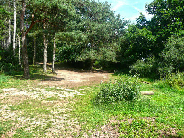
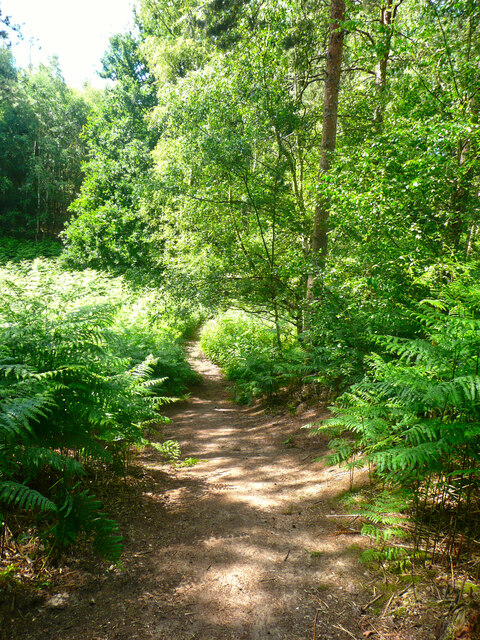
Beatrice Grove is a charming woodland area located in the county of Bedfordshire in England. Situated near the town of Ampthill, this serene forested area covers a total area of approximately 200 acres. The grove is known for its dense vegetation, diverse wildlife, and tranquil atmosphere, making it a popular spot for nature enthusiasts, hikers, and families alike.
The woodland in Beatrice Grove is primarily composed of broadleaf trees, such as oak, beech, and ash, which create a beautiful canopy that provides shade and shelter for the various wildlife that call this area home. The forest floor is covered in a thick carpet of moss and ferns, creating a magical and enchanting ambiance.
Throughout the grove, there are several well-maintained walking trails that meander through the woods, allowing visitors to explore the area at their own pace. These trails provide access to the many hidden gems within Beatrice Grove, including picturesque ponds, babbling brooks, and small clearings where wildflowers bloom in abundance during spring and summer.
The wildlife in Beatrice Grove is abundant, with sightings of deer, foxes, rabbits, and a variety of bird species being common. It is also home to several rare and protected species, making it an important conservation area within Bedfordshire.
Beatrice Grove is a popular destination for outdoor activities such as picnicking, birdwatching, and photography. The peaceful ambiance, coupled with the natural beauty of the surroundings, makes it an ideal place for relaxation and rejuvenation.
If you have any feedback on the listing, please let us know in the comments section below.
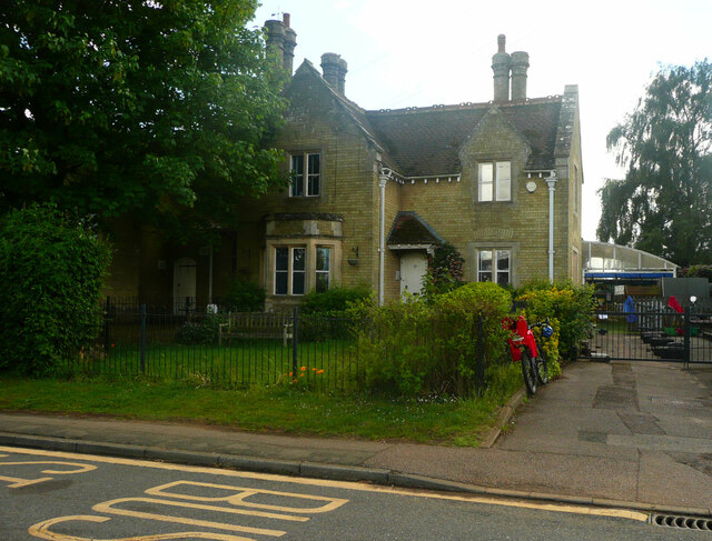
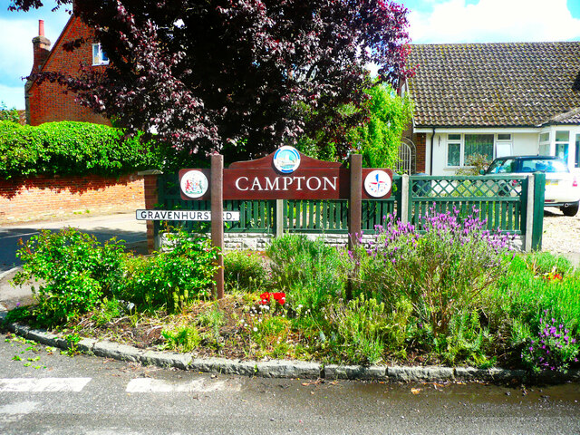
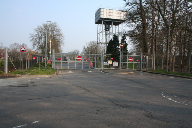
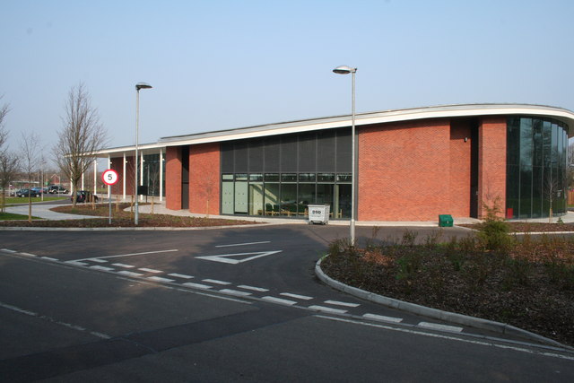
Beatrice Grove Images
Images are sourced within 2km of 52.040458/-0.35448569 or Grid Reference TL1239. Thanks to Geograph Open Source API. All images are credited.


Beatrice Grove is located at Grid Ref: TL1239 (Lat: 52.040458, Lng: -0.35448569)
Unitary Authority: Central Bedfordshire
Police Authority: Bedfordshire
What 3 Words
///desktops.cages.stud. Near Chicksands, Bedfordshire
Nearby Locations
Related Wikis

HMS Ferret (1982 shore establishment)
HMS Ferret is a training unit of the Royal Naval Reserve based at MOD Chicksands in Bedfordshire. == History == HMS Ferret was initially established at...
RAF Chicksands
Royal Air Force Chicksands or more simply RAF Chicksands, was a Royal Air Force station located 7.7 miles (12.4 km) south east of Bedford, Bedfordshire...

River Flit
The River Flit is a short river in Bedfordshire, England. Its name is not ancient, but rather a back formation from Flitton which originally meant that...
Chicksands
Chicksands is a village and former civil parish, now in the parish of Campton and Chicksands in the Central Bedfordshire district of Bedfordshire, England...

Campton and Chicksands
Campton and Chicksands is a civil parish in the Central Bedfordshire district, in the ceremonial county of Bedfordshire, England. Its main settlements...
Shefford railway station
Shefford was a railway station on the Bedford to Hitchin Line which served the town of Shefford in Bedfordshire, England. Opened in 1857, it gave more...
Church of All Saints, Campton
The Church of All Saints is the Anglican parish church in the village of Campton, Shefford, Bedfordshire, England. Its official title is Campton and Chicksands...
Campton, Bedfordshire
Campton is a village and former civil parish, now in the parish of Campton and Chicksands, in the Central Bedfordshire district of Bedfordshire, England...
Nearby Amenities
Located within 500m of 52.040458,-0.35448569Have you been to Beatrice Grove?
Leave your review of Beatrice Grove below (or comments, questions and feedback).