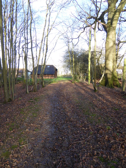
Birch Wood

Wood, Forest in Sussex Horsham

England

Birch Wood

Bridleway past Pear Tree Farm The bridleway is up to 15 metres wide between long-established hedge banks and ditches, and must be ancient in origin, probably an old cart road. Pear Tree Farm, on the south side of the track, is quite recent, but Maltmayes, at the eastern end, is C14 in origin, and the track surely is much older still. Fortunately, this western end is no longer used by vehicles, perhaps because the junction with the Bognor Road (A29) is less than satisfactory (and distinctly hazardous if approaching from the opposite direction).
Bridleway past Pear Tree Farm Credit: Hugh Craddock

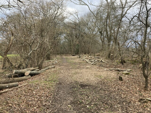
Birch Wood, located in Sussex, England, is a picturesque forest renowned for its stunning natural beauty and rich biodiversity. Spread over a vast area, this enchanting woodland is characterized by its dense growth of birch trees, which dominate the landscape and lend the forest its name.

The woodland boasts a diverse range of flora and fauna, making it a haven for nature enthusiasts and wildlife lovers. The forest floor is carpeted with lush green ferns and a variety of wildflowers, creating a vibrant and colorful environment throughout the year.

Birch Wood is home to a multitude of wildlife species, including deer, foxes, badgers, and a wide array of bird species. Birdwatchers flock to the area to catch a glimpse of rare and migratory birds, such as woodpeckers, owls, and warblers.

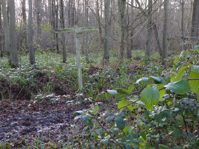
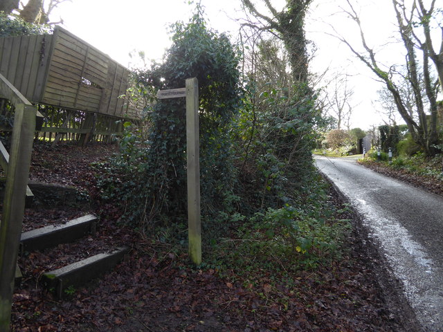
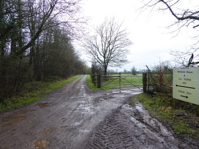
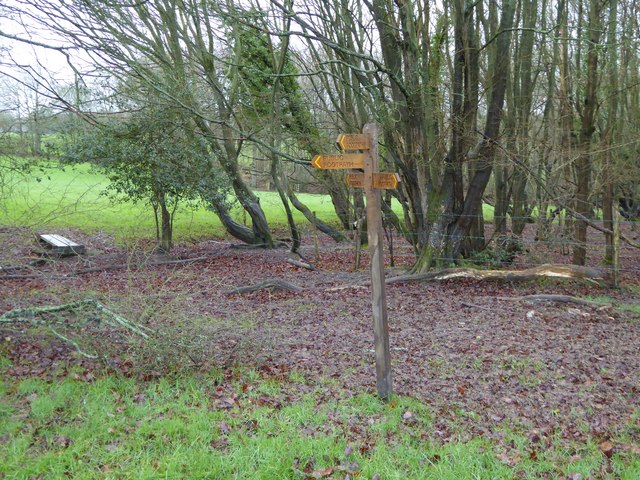
Visitors can explore the forest through a network of well-maintained trails that wind their way through the woodland, offering breathtaking views and opportunities for peaceful walks and hikes. The tranquil atmosphere and the soothing sound of rustling leaves make Birch Wood an ideal destination for those seeking solace in nature.

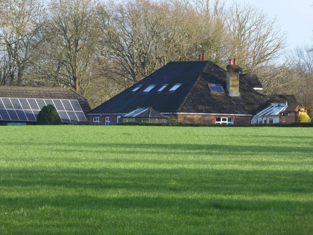
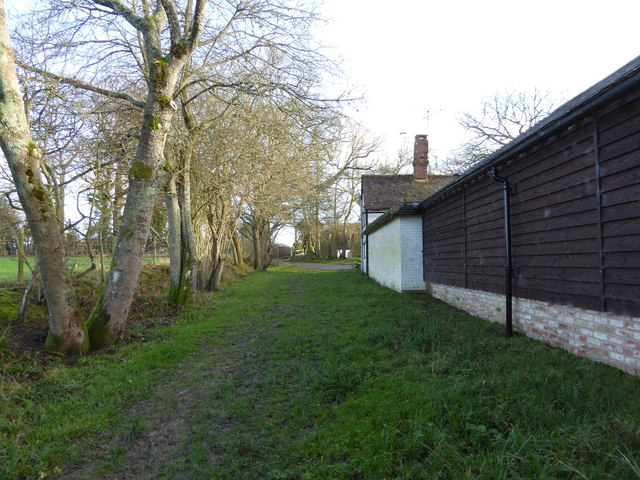
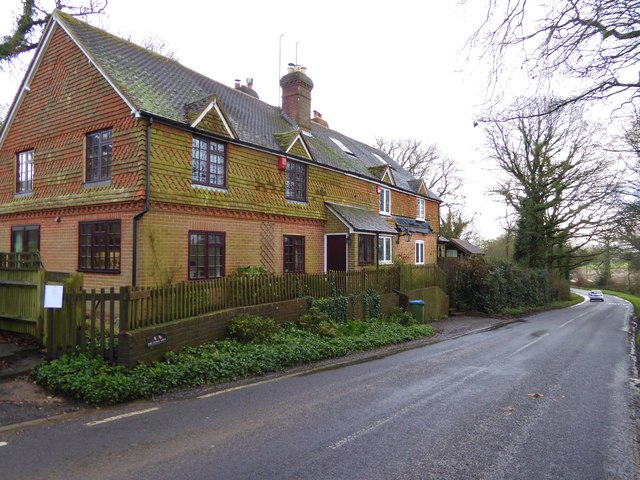
Additionally, the forest provides various recreational activities, including camping, picnicking, and birdwatching. Its proximity to nearby towns and villages makes it easily accessible for day trips and weekend getaways.

Birch Wood, Sussex, truly encapsulates the beauty of the English countryside, offering a serene and captivating experience for all who venture into its depths.

If you have any feedback on the listing, please let us know in the comments section below.

Birch Wood Images

Images are sourced within 2km of 51.108333/-0.3878061 or Grid Reference TQ1235. Thanks to Geograph Open Source API. All images are credited.

Bridleway past Pear Tree Farm The bridleway is up to 15 metres wide between long-established hedge banks and ditches, and must be ancient in origin, probably an old cart road. Pear Tree Farm, on the south side of the track, is quite recent, but Maltmayes, at the eastern end, is C14 in origin, and the track surely is much older still. Fortunately, this western end is no longer used by vehicles, perhaps because the junction with the Bognor Road (A29) is less than satisfactory (and distinctly hazardous if approaching from the opposite direction).
Bridleway past Pear Tree Farm
The bridleway is up to 15 metres wide between long-established hedge banks and ditches, and must be ancient in origin, probably an old cart road. Pear Tree Farm, on the south side of the track, is quite recent, but Maltmayes, at the eastern end, is C14 in origin, and the track surely is much older still. Fortunately, this western end is no longer used by vehicles, perhaps because the junction with the Bognor Road (A29) is less than satisfactory (and distinctly hazardous if approaching from the opposite direction).
Footpath arrives at bridleway in woodland
Dwelling seen across field from footpath
Bridleway passes dwelling on way to Waterlands Lane
House by woodland off Waterlands Lane
Sign at "The Chequers" PH
Extension to "The Chequers" PH At least that's my assumption.
Extension to "The Chequers" PH
At least that's my assumption.
Both parts on "The Chequers" PH See <a title="https://www.geograph.org.uk/photo/1494115" href="https://www.geograph.org.uk/photo/1494115">Link</a> for a view from 2009.
Both parts on "The Chequers" PH
See Link for a view from 2009.
House at Junction in Rowhook
Footpath junction on Waterlands Lane Waterlands Lane is itself a bridleway.
Footpath junction on Waterlands Lane
Waterlands Lane is itself a bridleway.
Bridleway leaves woodland on way north towards Rowhook
Houses on Horsham Road north of Rowhook
Weatherpigeon north of Rowhook
Road to "Charmans" goes east from Horsham Road See <a title="https://www.geograph.org.uk/photo/119408" href="https://www.geograph.org.uk/photo/119408">Link</a> from 2006.
Road to "Charmans" goes east from Horsham Road
See Link from 2006.
Muddy footpath to Millfield House They're all muddy these days.
Muddy footpath to Millfield House
They're all muddy these days.
Four way signpost near Millfield House
Footpath leaves woodland to cross field west of Millfield House
Footbridge in woodland near Bury St Austen's
Show me another place!

Birch Wood is located at Grid Ref: TQ1235 (Lat: 51.108333, Lng: -0.3878061)

Administrative County: West Sussex

District: Horsham

Police Authority: Sussex

What 3 Words

///sticks.decisions.community. Near Warnham, West Sussex

Related Wikis

Stane Street (Chichester)

Stane Street is the modern name of the 91 km-long (57 mi) Roman road in southern England that linked Londinium (London) to Noviomagus Reginorum (Chichester...

High Weald AONB

The High Weald Area of Outstanding Natural Beauty is in south-east England. Covering an area of 1,450 square kilometres (560 sq mi), it takes up parts...

Smokejack Clay Pit

Smokejack Clay Pit is a 56-hectare (140-acre) geological Site of Special Scientific Interest east of Cranleigh in Surrey. It is a Geological Conservation...

Warnham & Rusper (electoral division)

Warnham & Rusper is an electoral division of West Sussex in the United Kingdom and returns one member to sit on West Sussex County Council. The current...

Wallis Wood

Wallis Wood is a 14-hectare (35-acre) nature reserve south-east of Ewhurst in Surrey. It is managed by the Surrey Wildlife Trust.A stream runs through...

Warnham

Warnham is a village and civil parish in the Horsham district of West Sussex, England. The village is centred 2 miles (3.2 km) north-northwest of Horsham...

Field Place, Warnham

Field Place is a Grade I listed house in Warnham, West Sussex, England. It is the birthplace of the poet Percy Bysshe Shelley, born there in 1792. The...

Slinfold Stream and Quarry

Slinfold Stream and Quarry is a 2.3-hectare (5.7-acre) geological Site of Special Scientific Interest west of Horsham in West Sussex. It is a Geological...

Nearby Amenities

Located within 500m of 51.108333,-0.3878061
Monks Farm
Place: farm
Lat/Long: 51.1115971/-0.3870658
The data included in this document is from www.openstreetmap.org. The data is made available under ODbL.

Have you been to Birch Wood?

Leave your review of Birch Wood below (or comments, questions and feedback).