Eleven Acre Holt

Wood, Forest in Lincolnshire North Kesteven

England

Eleven Acre Holt

Farm for sale, Ewerby Waithe
Farm for sale, Ewerby Waithe Credit: Chris

Eleven Acre Holt is a picturesque woodland located in Lincolnshire, England. Covering an area of eleven acres, this charming forest is a haven for nature enthusiasts and those seeking a tranquil retreat from the hustle and bustle of everyday life.

The woodland is characterized by its dense canopy of mature trees, predominantly comprising oak, beech, and birch. These towering trees provide a cool shade during the summer months and a stunning display of colors in the autumn. The forest floor is adorned with a diverse array of wildflowers and ferns, creating a vibrant carpet of greenery.

Eleven Acre Holt is home to a rich variety of wildlife, making it a popular spot for birdwatching and nature photography. Visitors may spot species such as woodpeckers, owls, and various small mammals scurrying among the undergrowth. The forest is also inhabited by a number of rare and protected species, including the lesser-spotted woodpecker and the hazel dormouse.

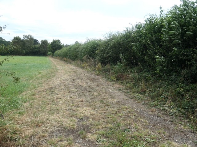
A network of well-maintained walking trails winds through Eleven Acre Holt, allowing visitors to explore the forest at their own pace. These paths meander through the woodlands, providing breathtaking views of the surrounding countryside and allowing visitors to immerse themselves in the peaceful ambiance of the forest.

Eleven Acre Holt is open to the public year-round, offering visitors a chance to experience the beauty of nature in all seasons. Whether it's a leisurely stroll, a picnic among the trees, or simply a moment of solitude in the heart of nature, this enchanting woodland is a must-visit destination for anyone seeking solace in the great outdoors.

If you have any feedback on the listing, please let us know in the comments section below.

Eleven Acre Holt Images

Images are sourced within 2km of 53.021831/-0.31760964 or Grid Reference TF1248. Thanks to Geograph Open Source API. All images are credited.
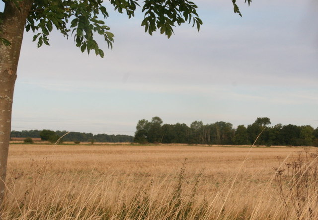
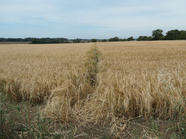
Farm for sale, Ewerby Waithe
Stylish farmhouse, Ewerby Waithe
Ash Holt, near Ewerby Thorpe
Cottages in Ewerby Thorpe
Ewerby: St. Andrew's Church
Ewerby, St. Andrew's Church: The spire, its long broaches rising direct from the walls
Ewerby, St. Andrew's Church: The south doorway with carved foliage around it
Cut Mark: Ewerby, St Andrew's Church Cut bench mark on the north-west angle.  See <a title="https://www.geograph.org.uk/photo/5530040" href="https://www.geograph.org.uk/photo/5530040">Link</a> for a wider view and <span class="nowrap"><a title="http://www.bench-marks.org.uk/bm53211" rel="nofollow ugc noopener" href="http://www.bench-marks.org.uk/bm53211">Link</a><img style="margin-left:2px;" alt="External link" title="External link - shift click to open in new window" src="https://s1.geograph.org.uk/img/external.png" width="10" height="10"/></span> for details.
Cut Mark: Ewerby, St Andrew's Church
Cut bench mark on the north-west angle. See Link for a wider view and LinkExternal link for details.
Ewerby, St Andrew's Church There is a cut bench mark on the north-west angle.  See <a title="https://www.geograph.org.uk/photo/5530037" href="https://www.geograph.org.uk/photo/5530037">Link</a> for a closer view and <span class="nowrap"><a title="http://www.bench-marks.org.uk/bm53211" rel="nofollow ugc noopener" href="http://www.bench-marks.org.uk/bm53211">Link</a><img style="margin-left:2px;" alt="External link" title="External link - shift click to open in new window" src="https://s1.geograph.org.uk/img/external.png" width="10" height="10"/></span> for details.
Ewerby, St Andrew's Church
There is a cut bench mark on the north-west angle. See Link for a closer view and LinkExternal link for details.
Flush Bracket OSBM 10177: Ewerby, School Flush bracket bench mark on a former school, now part of a private house.  See <span class="nowrap"><a title="http://www.bench-marks.org.uk/bm21837" rel="nofollow ugc noopener" href="http://www.bench-marks.org.uk/bm21837">Link</a><img style="margin-left:2px;" alt="External link" title="External link - shift click to open in new window" src="https://s1.geograph.org.uk/img/external.png" width="10" height="10"/></span> for details of the mark.
Flush Bracket OSBM 10177: Ewerby, School
Flush bracket bench mark on a former school, now part of a private house. See LinkExternal link for details of the mark.
Strip of woodland off Park Lane Narrow and irregular in shape, the strip of woodland wriggles for about a mile between Evedon Wood and Haverholme Wood.
Strip of woodland off Park Lane
Narrow and irregular in shape, the strip of woodland wriggles for about a mile between Evedon Wood and Haverholme Wood.
Stubble field east of Park Lane Sheltered to the east [and south] by a strip of woodland.
Stubble field east of Park Lane
Sheltered to the east [and south] by a strip of woodland.
Stubble field west of Park Lane The road is unfenced, but there is no drain to trap careless drivers.
Stubble field west of Park Lane
The road is unfenced, but there is no drain to trap careless drivers.
Evedon Wood, from Park Lane The perimeter of the wood reaches the dizzy heights of 16 metres above sea level.
Evedon Wood, from Park Lane
The perimeter of the wood reaches the dizzy heights of 16 metres above sea level.
Track running south from Park Lane, Ewerby Providing private access to the rear of properties on Main Street.
Track running south from Park Lane, Ewerby
Providing private access to the rear of properties on Main Street.
Public footpath to the Lodge at Haverholme Heading north from Park Lane at Ewerby.
Public footpath to the Lodge at Haverholme
Heading north from Park Lane at Ewerby.
Public footpath cutting the corner off Park Lane Heading north-west from Ewerby.
Public footpath cutting the corner off Park Lane
Heading north-west from Ewerby.
Show me another place!

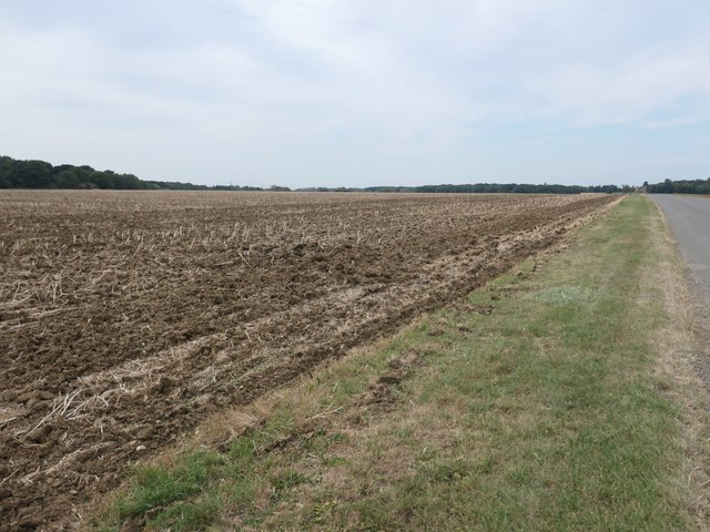
Eleven Acre Holt is located at Grid Ref: TF1248 (Lat: 53.021831, Lng: -0.31760964)

Administrative County: Lincolnshire

District: North Kesteven

Police Authority: Lincolnshire

What 3 Words

///resonated.rating.diggers. Near Heckington, Lincolnshire

Related Wikis

Ewerby and Evedon

Ewerby and Evedon is a civil Parish in North Kesteven, Lincolnshire, England. It includes the villages of Ewerby and Evedon, the hamlet of Haverholme,...

Ewerby Thorpe

Ewerby Thorpe is a hamlet in the civil parish of Ewerby and Evedon, in the North Kesteven district of Lincolnshire, England. It lies 2 miles (3.2 km) north...

Ewerby

Ewerby is a village in the North Kesteven district of Lincolnshire, England. It lies 3 miles (4.8 km) north-east from Sleaford and 2 miles (3.2 km) south...

Howell, Lincolnshire

Howell is a hamlet in the North Kesteven district of Lincolnshire, approximately 1 mile (1.6 km) north of the A17, 4 miles (6 km) east from Sleaford, and...

Haverholme

Haverholme is a hamlet and site of Haverholme Priory in the North Kesteven district of Lincolnshire, England. It is situated about 4 miles (6 km) north...

Haverholme Priory

Haverholme Priory was a monastery in Lincolnshire, England. Its remains are situated 4 miles (6 km) north-east of the town of Sleaford and less than 1...

Asgarby and Howell

Asgarby and Howell is a civil parish in the North Kesteven district of Lincolnshire, England, consisting of the villages of Asgarby and Howell. According...

Anwick

Anwick is a small village and civil parish in the North Kesteven district of Lincolnshire, England. The population of the civil parish at the 2011 census...

Nearby Amenities

Located within 500m of 53.021831,-0.31760964
Power: pole
Lat/Long: 53.0187365/-0.3228736
Power: pole
Lat/Long: 53.0192722/-0.3215861
Power: pole
Lat/Long: 53.019857/-0.320359
Power: pole
Lat/Long: 53.0204435/-0.3188342
Power: pole
Lat/Long: 53.021055/-0.3173402
Power: pole
Lat/Long: 53.0216536/-0.3159508
Power: pole
Lat/Long: 53.0222392/-0.3146017
Power: pole
Lat/Long: 53.0229443/-0.3130091
Power: pole
Lat/Long: 53.022812/-0.3133839
Power: pole
Lat/Long: 53.0233573/-0.311839
The data included in this document is from www.openstreetmap.org. The data is made available under ODbL.

Have you been to Eleven Acre Holt?

Leave your review of Eleven Acre Holt below (or comments, questions and feedback).