Coldharbour Plantation
Wood, Forest in Hertfordshire St. Albans
England
Coldharbour Plantation

Coldharbour Plantation is an expansive woodland area located in Hertfordshire, England. Spanning over several hectares, it is known for its diverse range of plant and animal species, making it a significant natural habitat in the region. The plantation is situated near the town of Coldharbour, which is nestled within the picturesque countryside of Hertfordshire.
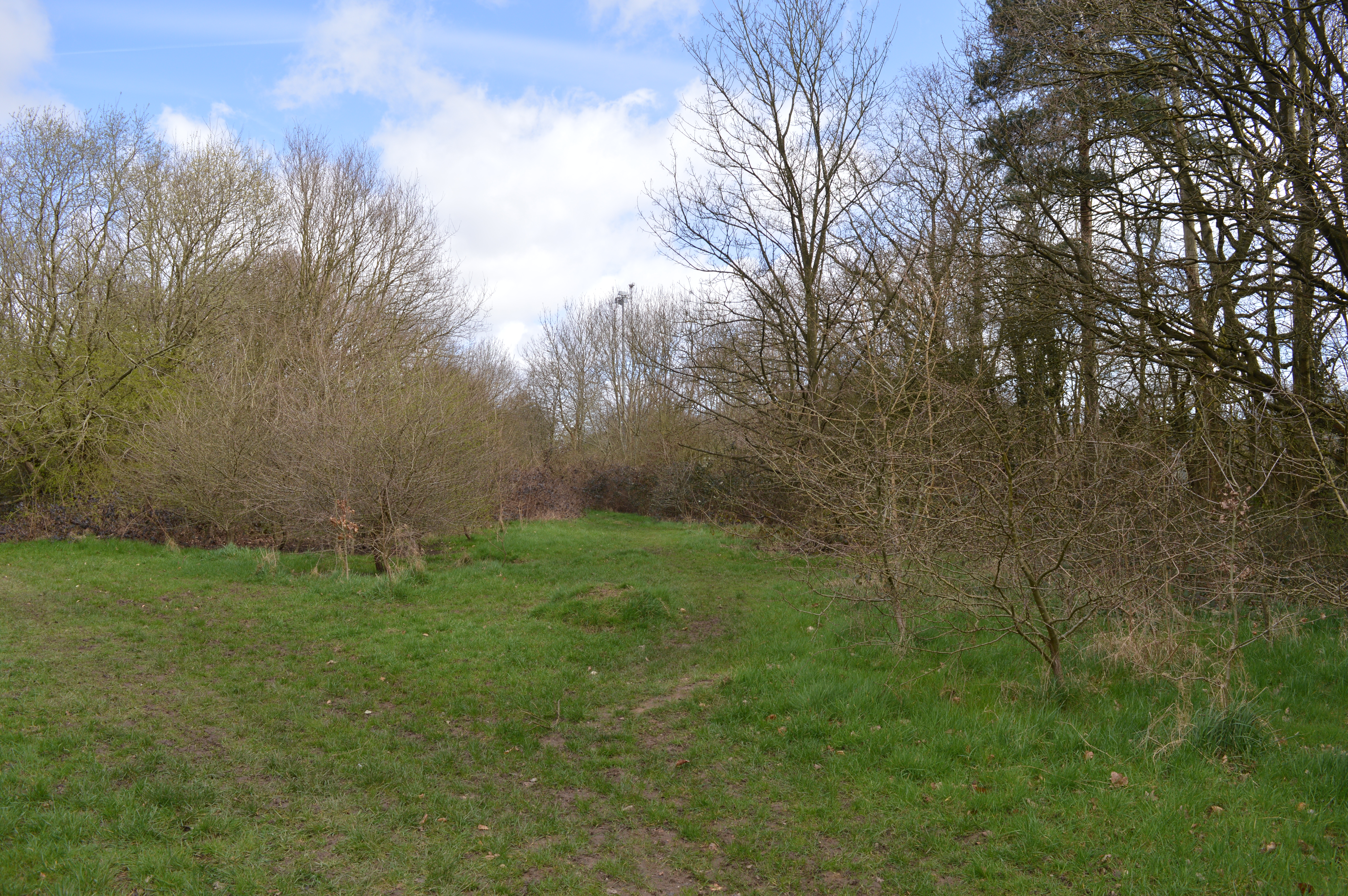
The woodland is characterized by its dense canopy of trees, primarily consisting of native species such as oak, birch, and beech. These towering trees provide shelter and nesting grounds for a variety of bird species, including woodpeckers, owls, and thrushes. In addition, the undergrowth is rich in ferns, mosses, and wildflowers, creating a vibrant and colorful landscape throughout the year.
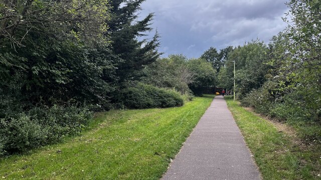
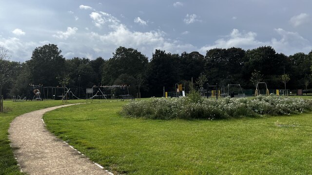
Coldharbour Plantation offers numerous walking trails and paths, allowing visitors to immerse themselves in the tranquility of nature. The plantation is also home to several small streams and ponds, attracting a diverse range of amphibians and insects.
The woodland is managed by a dedicated team of conservationists and volunteers who work tirelessly to preserve its natural ecosystem. They engage in activities such as tree planting, maintaining footpaths, and monitoring wildlife populations to ensure the long-term sustainability of the plantation.
Overall, Coldharbour Plantation in Hertfordshire offers a peaceful and enchanting escape from the hustle and bustle of everyday life. Its unique blend of flora and fauna makes it a haven for nature enthusiasts and provides an essential habitat for countless species.
If you have any feedback on the listing, please let us know in the comments section below.
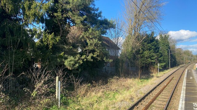
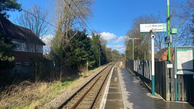
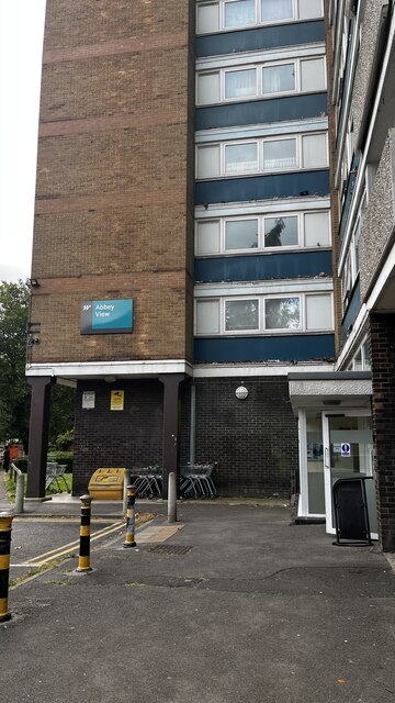
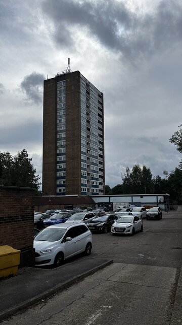
Coldharbour Plantation Images
Images are sourced within 2km of 51.691262/-0.37389286 or Grid Reference TL1200. Thanks to Geograph Open Source API. All images are credited.


Coldharbour Plantation is located at Grid Ref: TL1200 (Lat: 51.691262, Lng: -0.37389286)
Administrative County: Hertfordshire
District: St. Albans
Police Authority: Hertfordshire
What 3 Words
///kinds.fight.relax. Near Abbots Langley, Hertfordshire
Nearby Locations
Related Wikis
Garston Park
Garston Park is a park in Garston, Hertfordshire, a suburb of Watford in Hertfordshire. An area of 6.4 hectares, about half of the park, is a Local Nature...

Garston railway station (Hertfordshire)
Garston railway station serves the Garston area of Watford in Hertfordshire, England. It is the third station on the Abbey Line after Watford Junction...

Bricket Wood Common
Bricket Wood Common is a 70 hectare open space and biological Site of Special Scientific Interest in Bricket Wood in Hertfordshire. It is managed by St...

Garston, Hertfordshire
Garston is a suburban village in Hertfordshire, England. Garston is contiguous with Watford and now, despite retaining a local identity, is effectively...
Building Research Establishment
The Building Research Establishment (BRE) is a centre of building science in the United Kingdom, owned by charitable organisation the BRE Trust. It is...

Munden House
Munden House and its estate are located between Watford, Radlett and Bricket Wood in the county of Hertfordshire, England. It is a Grade II listed building...

Future Academies Watford
Future Academies Watford is a co-educational secondary school and sixth form located in Garston, Watford, Hertfordshire, England. == History == The school...

Wall Hall
Wall Hall, originally known as Aldenham Abbey, is a country house at Aldenham in Hertfordshire, England. The main house and several ancillary buildings...
Nearby Amenities
Located within 500m of 51.691262,-0.37389286Have you been to Coldharbour Plantation?
Leave your review of Coldharbour Plantation below (or comments, questions and feedback).