Mutchetts Wood
Wood, Forest in Hertfordshire St. Albans
England
Mutchetts Wood

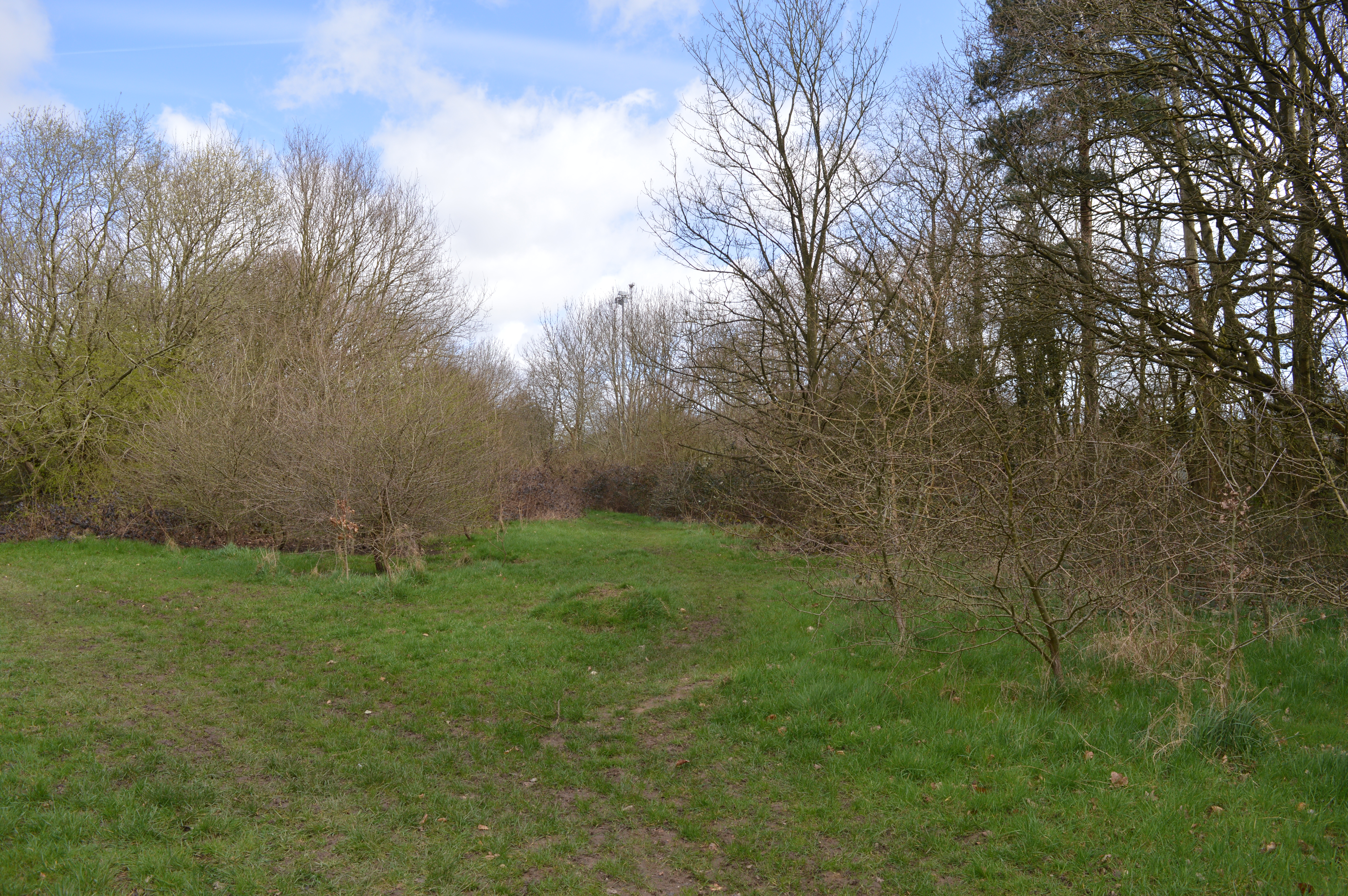
Mutchetts Wood is a picturesque woodland located in Hertfordshire, England. Covering an area of approximately 200 acres, it is a popular destination for nature enthusiasts and outdoor enthusiasts alike. The wood is situated near the village of Hertingfordbury, just a short distance from the town of Hertford.
Mutchetts Wood is known for its diverse range of flora and fauna, making it a haven for wildlife. The wood is predominantly composed of deciduous trees such as oak, beech, and birch, which provide a vibrant display of colors during the autumn months. The dense canopy of the trees creates a serene atmosphere, offering visitors a peaceful escape from the hustle and bustle of everyday life.
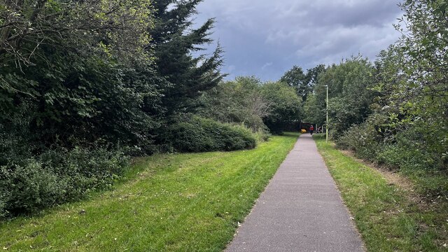
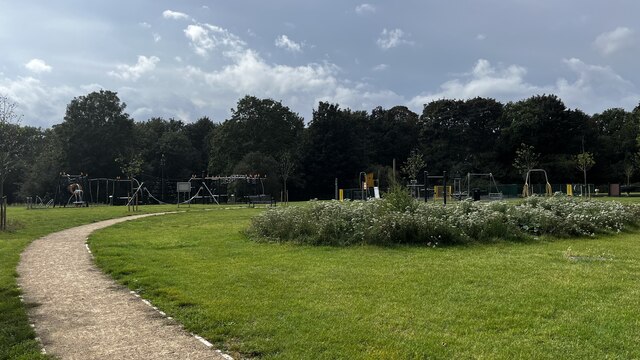
Within the wood, there are numerous walking trails and footpaths, allowing visitors to explore its natural beauty at their own pace. These paths wind through the wood, leading visitors past tranquil ponds, babbling brooks, and open meadows. The wood is also home to a variety of bird species, making it a popular spot for birdwatching enthusiasts.
Mutchetts Wood is managed and maintained by the local forestry commission, ensuring its preservation for future generations to enjoy. The wood is open to the public year-round, with no admission fees. Visitors are encouraged to respect the natural environment and follow designated pathways to minimize disruption to the woodland ecosystem.
Overall, Mutchetts Wood is a stunning natural landscape, offering visitors a chance to immerse themselves in the beauty of nature and experience the tranquility of a peaceful woodland setting.
If you have any feedback on the listing, please let us know in the comments section below.
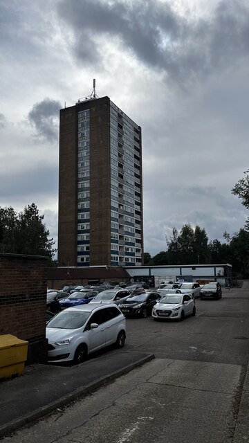
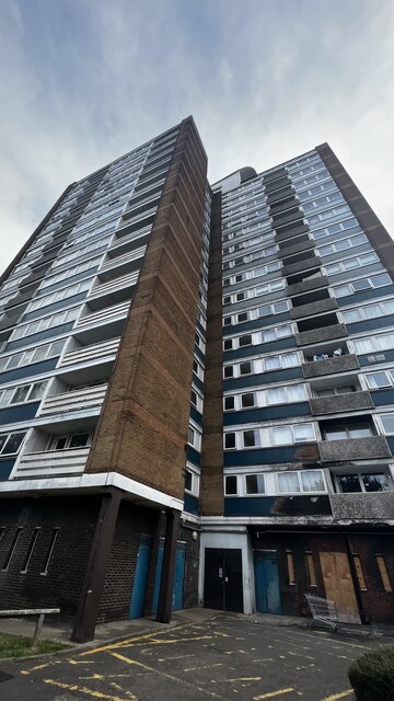
Mutchetts Wood Images
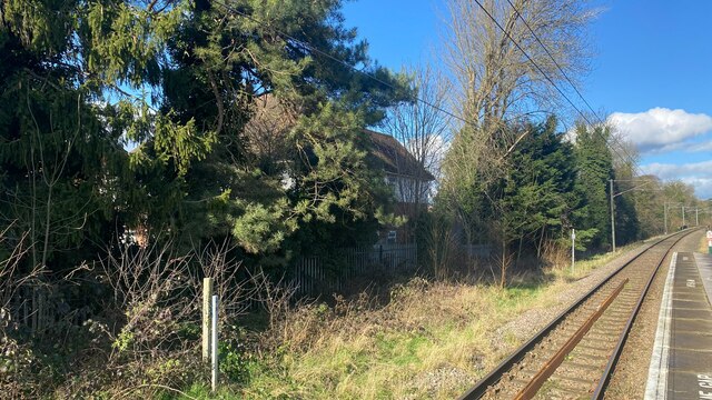
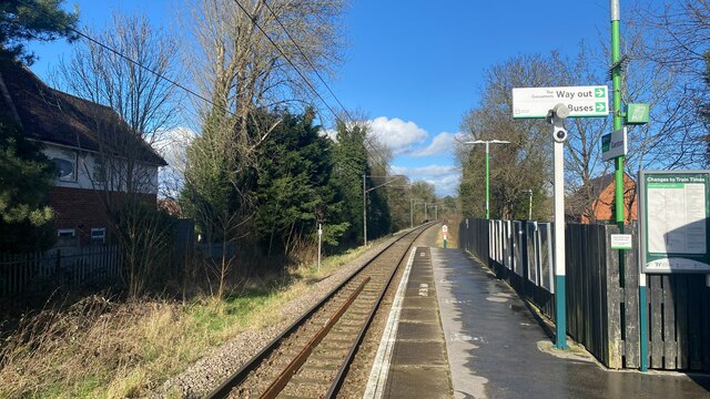
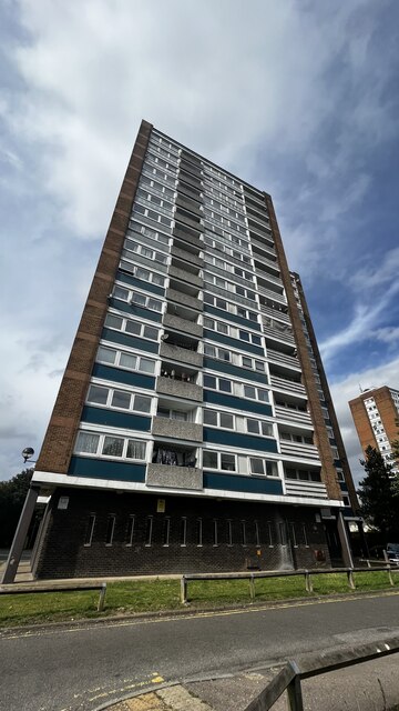
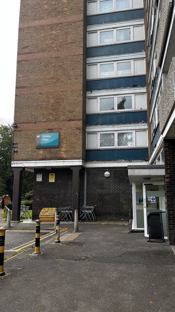
Images are sourced within 2km of 51.69548/-0.37194749 or Grid Reference TL1200. Thanks to Geograph Open Source API. All images are credited.


Mutchetts Wood is located at Grid Ref: TL1200 (Lat: 51.69548, Lng: -0.37194749)
Administrative County: Hertfordshire
District: St. Albans
Police Authority: Hertfordshire
What 3 Words
///mouth.case.lance. Near Abbots Langley, Hertfordshire
Nearby Locations
Related Wikis

Bricket Wood Common
Bricket Wood Common is a 70 hectare open space and biological Site of Special Scientific Interest in Bricket Wood in Hertfordshire. It is managed by St...
Building Research Establishment
The Building Research Establishment (BRE) is a centre of building science in the United Kingdom, owned by charitable organisation the BRE Trust. It is...
Garston Park
Garston Park is a park in Garston, Hertfordshire, a suburb of Watford in Hertfordshire. An area of 6.4 hectares, about half of the park, is a Local Nature...

Garston, Hertfordshire
Garston is a suburban village in Hertfordshire, England. Garston is contiguous with Watford and now, despite retaining a local identity, is effectively...
Nearby Amenities
Located within 500m of 51.69548,-0.37194749Have you been to Mutchetts Wood?
Leave your review of Mutchetts Wood below (or comments, questions and feedback).