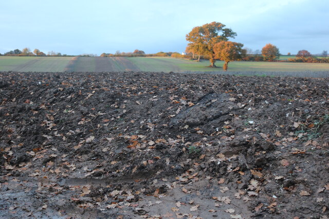
Caws Wood
Wood, Forest in Hertfordshire St. Albans
England
Caws Wood
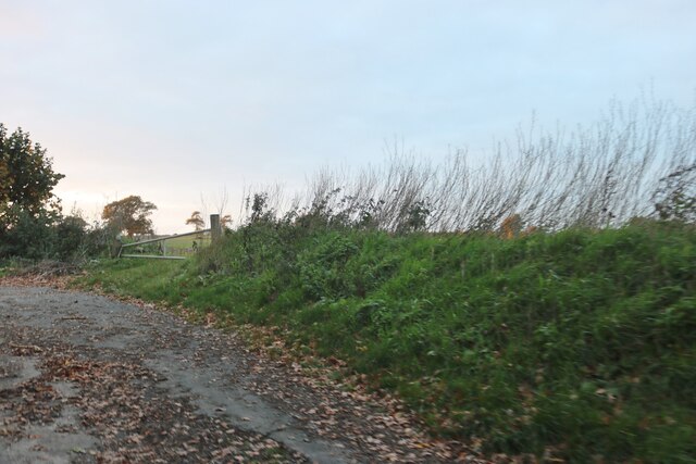
Caws Wood is a picturesque woodland located in Hertfordshire, England. Covering an area of approximately 50 hectares, it is a popular destination for nature enthusiasts and outdoor enthusiasts alike. The wood is situated near the village of Caws Green, hence its name.
The wood is predominantly composed of broadleaf trees, including oak, beech, and ash. These trees create a dense canopy, providing a habitat for a variety of wildlife. Visitors can expect to spot numerous bird species, such as woodpeckers, nuthatches, and thrushes, as well as small mammals like squirrels and foxes.
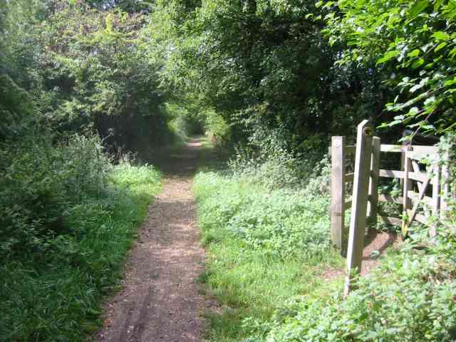
Trails wind through the wood, inviting visitors to explore its beauty on foot. The paths are well-maintained and suitable for all ages and abilities, making it an ideal location for a leisurely stroll or a family outing. Additionally, the wood offers excellent opportunities for photographers and nature enthusiasts to capture the vibrant colors and tranquil atmosphere.
Caws Wood is also a site of historical importance, with evidence of human activity dating back centuries. Archaeological remains, including ancient earthworks and burial mounds, have been discovered within the wood, providing intriguing insights into the area's past.
Overall, Caws Wood is a haven of natural beauty and tranquility, offering visitors a chance to immerse themselves in the sights and sounds of the British countryside. Whether it's a leisurely walk, a wildlife spotting adventure, or a historical exploration, Caws Wood has something to offer for everyone.
If you have any feedback on the listing, please let us know in the comments section below.
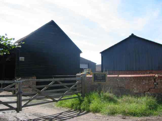
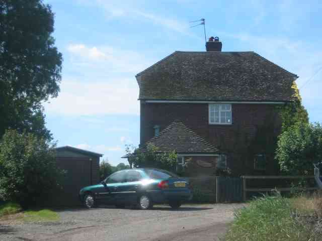
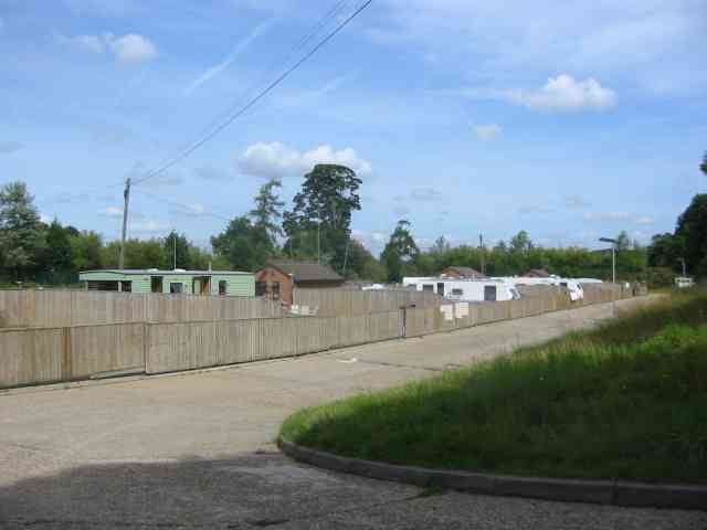
Caws Wood Images
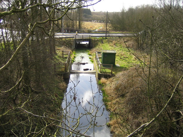
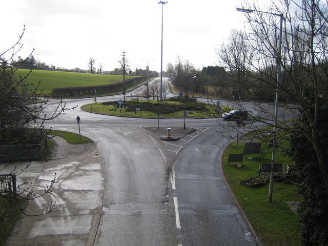
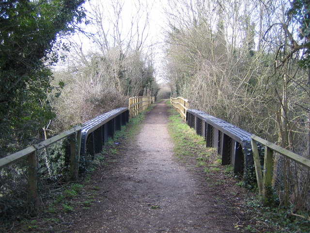
Images are sourced within 2km of 51.782643/-0.37678533 or Grid Reference TL1210. Thanks to Geograph Open Source API. All images are credited.


Caws Wood is located at Grid Ref: TL1210 (Lat: 51.782643, Lng: -0.37678533)
Administrative County: Hertfordshire
District: St. Albans
Police Authority: Hertfordshire
What 3 Words
///bunks.phones.puff. Near Redbourn, Hertfordshire
Nearby Locations
Related Wikis

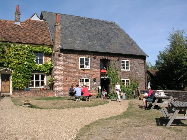
Redbournbury Mill
Redbournbury Mill, is a Grade II* listed flour mill in Redbournbury, Hertfordshire, England, which is thought to have been first built in the early 11th...

Redbournbury
Redbournbury is a hamlet in the county of Hertfordshire. It is located near the A5 road in between the city of St Albans and the large village of Redbourn...
Redbourn railway station
Redbourn railway station served the village of Redbourn, Hertfordshire, England from 1887 to 1964 on the Nickey Line. == History == The station opened...

Childwickbury
Childwickbury is a hamlet in Hertfordshire, England, lying to the north of St Albans in the parish of St Michael. Childwickbury Manor was home to Stanley...
Nearby Amenities
Located within 500m of 51.782643,-0.37678533Have you been to Caws Wood?
Leave your review of Caws Wood below (or comments, questions and feedback).