Crow Wood
Wood, Forest in Yorkshire
England
Crow Wood
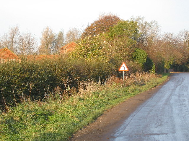
Crow Wood is a picturesque woodland located in the county of Yorkshire, England. This enchanting forest covers an area of approximately 500 acres, providing a natural haven for both wildlife and outdoor enthusiasts alike. It is situated in the heart of the Yorkshire Dales National Park, a region renowned for its stunning landscapes and rich biodiversity.
The wood is primarily composed of a diverse mix of deciduous and coniferous trees, including oak, beech, birch, and pine. These majestic trees create a dense canopy, allowing only dappled sunlight to filter through to the forest floor. This gives the wood a mystical and otherworldly atmosphere.
Crow Wood is crisscrossed by a network of meandering footpaths, providing visitors with the opportunity to explore its beauty on foot. The trails lead to hidden gems, such as babbling brooks, tranquil ponds, and ancient stone ruins, adding to the allure of the wood. The area is also home to a variety of wildlife, including deer, foxes, badgers, and a wide range of bird species, making it a popular spot for nature enthusiasts and birdwatchers.
Throughout the year, Crow Wood changes its appearance, offering a unique experience with each season. In spring, the forest comes alive with vibrant wildflowers and the sweet melodies of songbirds. Summer brings lush green foliage and the gentle rustling of leaves in the breeze. Autumn paints the wood in a symphony of fiery colors as the leaves turn golden and crimson. And in winter, the wood takes on a serene and ethereal beauty, with snow-dusted branches and a hushed tranquility.
Crow Wood is truly a natural treasure, inviting visitors to immerse themselves in the wonders of Yorkshire's countryside and revel in the peacefulness of this enchanting woodland.
If you have any feedback on the listing, please let us know in the comments section below.
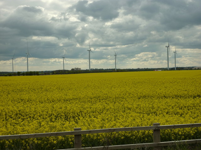
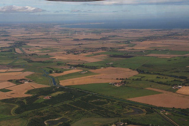
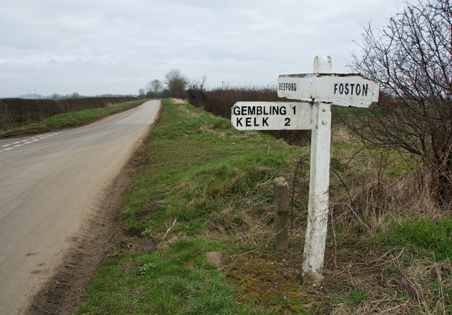
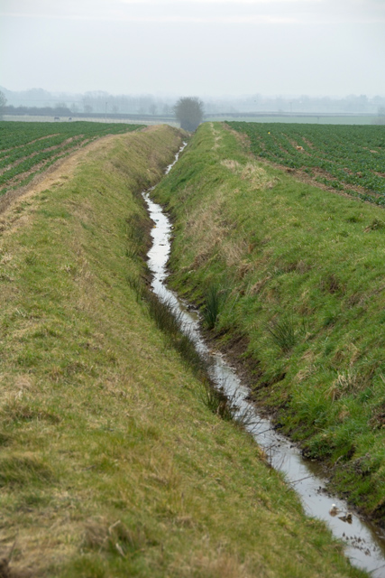
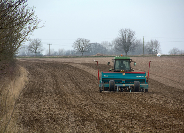
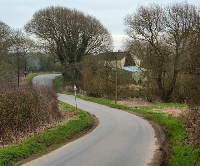
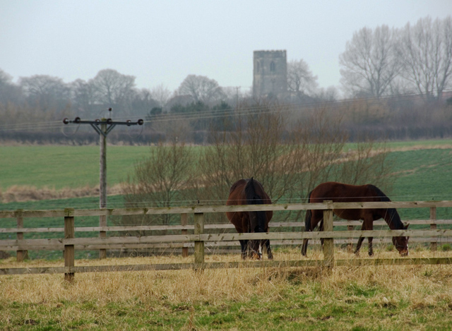
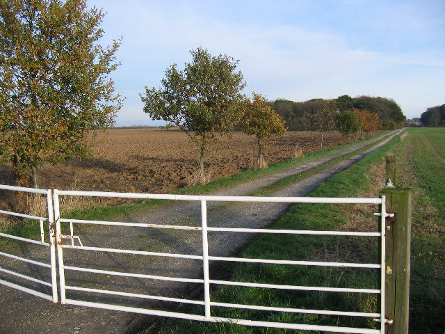
Crow Wood Images
Images are sourced within 2km of 53.993692/-0.2923113 or Grid Reference TA1256. Thanks to Geograph Open Source API. All images are credited.


Crow Wood is located at Grid Ref: TA1256 (Lat: 53.993692, Lng: -0.2923113)
Division: East Riding
Unitary Authority: East Riding of Yorkshire
Police Authority: Humberside
What 3 Words
///abstracts.love.camps. Near Beeford, East Yorkshire
Nearby Locations
Related Wikis

Gembling
Gembling is a hamlet and former civil parish, now in the parish of Foston, in the East Riding of Yorkshire, England. It is situated approximately 8 miles...

RAF Lissett
Royal Air Force Lissett or more simply RAF Lissett is a former Royal Air Force station located 6.1 miles (9.8 km) south west of Bridlington, East Riding...
Foston on the Wolds
Foston on the Wolds is a village and civil parish in the East Riding of Yorkshire, England. It is situated approximately 8 miles (13 km) south-west of...

Great Kelk
Great Kelk is a village and former civil parish, now in the parish of Kelk, in the East Riding of Yorkshire, England. It is situated approximately 7.5...

Beeford
Beeford is a village and civil parish in the East Riding of Yorkshire, England. It is situated at the junction of the A165 and the B1249, and approximately...

Lissett
Lissett is a village and former civil parish, now in the parish of Ulrome, in the Holderness area of the East Riding of Yorkshire, England. It is situated...

Gransmoor
Gransmoor is a hamlet and former civil parish, now in the parish of Burton Agnes, in the East Riding of Yorkshire, England. It is situated approximately...

Kelk, East Riding of Yorkshire
Kelk is a civil parish in the East Riding of Yorkshire, England. It is situated 7 miles (11 km) to the south-west of Bridlington town centre and covering...
Have you been to Crow Wood?
Leave your review of Crow Wood below (or comments, questions and feedback).