Chasemore Wood
Wood, Forest in Surrey Elmbridge
England
Chasemore Wood

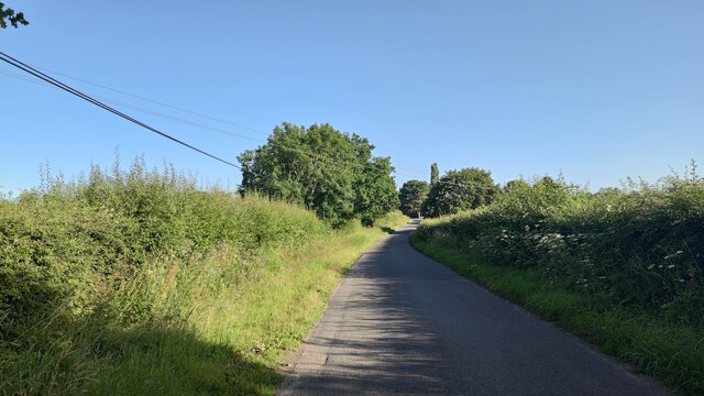
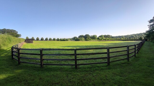
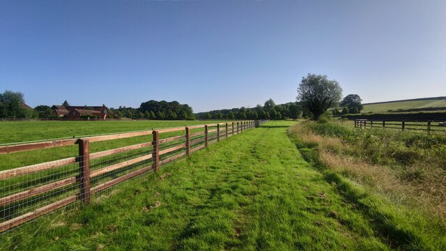
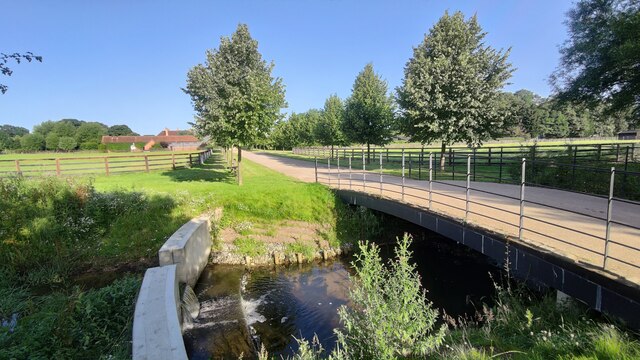
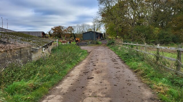
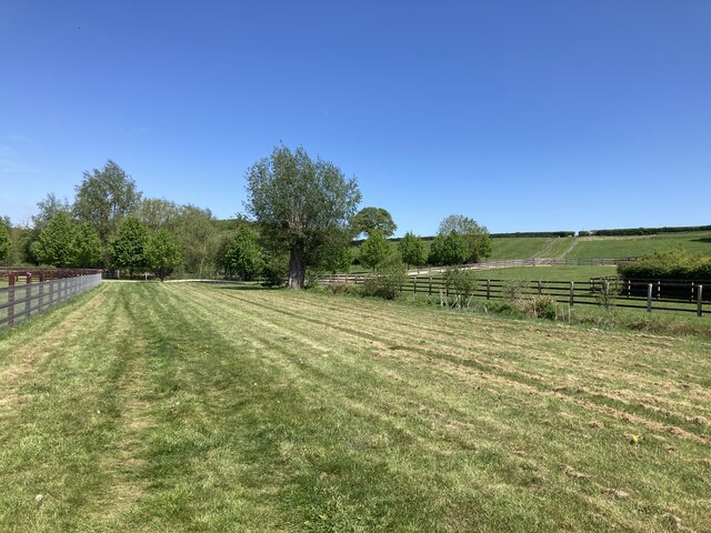
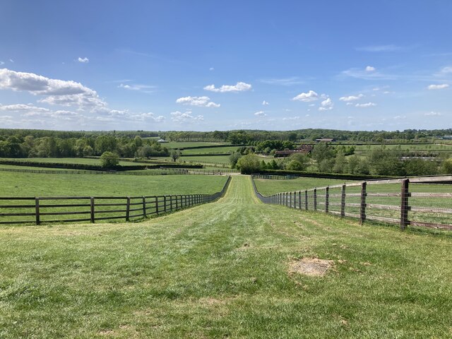
Chasemore Wood is a picturesque woodland located in the county of Surrey, England. Covering an area of approximately 30 acres, this charming forest is a popular destination for nature enthusiasts and outdoor lovers. It is nestled within the larger Chasemore Farm, adding to its tranquility and natural beauty.
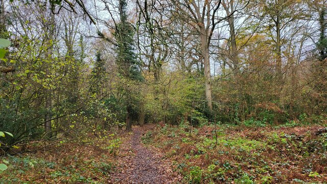
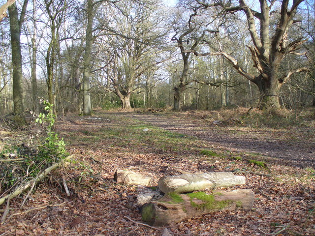
The wood is predominantly composed of a mixture of deciduous and coniferous trees, creating a diverse and vibrant ecosystem. Oak, beech, and birch trees are among the dominant species found here, providing a rich canopy that offers shade and shelter for a variety of wildlife. The forest floor is adorned with a carpet of wildflowers, including bluebells, primroses, and foxgloves, adding bursts of color to the landscape throughout the seasons.
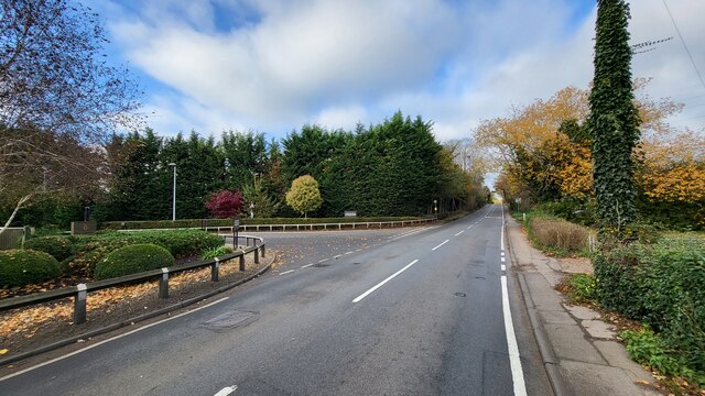
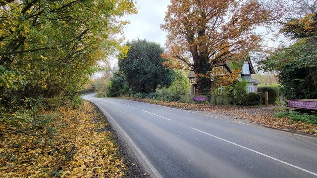
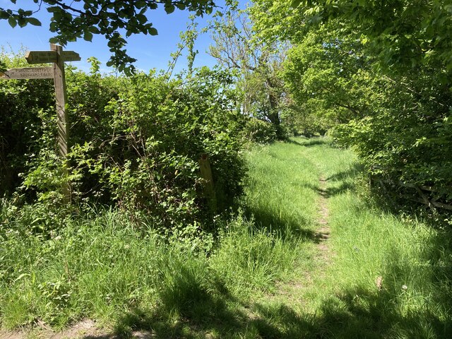
Chasemore Wood is crisscrossed by a network of well-maintained footpaths and trails, making it easily accessible for visitors to explore and enjoy. These paths lead to secluded clearings, where visitors can relax and appreciate the tranquility of the surroundings.
The wood is home to a diverse range of wildlife species, including deer, squirrels, and a variety of bird species. Birdwatchers can spot woodpeckers, jays, and thrushes among the trees, while those with a keen eye might catch a glimpse of a fox or a badger.
Chasemore Wood offers a peaceful retreat for those seeking solace in nature, with its picturesque scenery, diverse flora and fauna, and well-maintained trails. Whether it is for a leisurely stroll, wildlife spotting, or simply to enjoy its natural beauty, this woodland in Surrey is a must-visit for nature enthusiasts.
If you have any feedback on the listing, please let us know in the comments section below.
Chasemore Wood Images
Images are sourced within 2km of 51.303407/-0.39402098 or Grid Reference TQ1257. Thanks to Geograph Open Source API. All images are credited.


Chasemore Wood is located at Grid Ref: TQ1257 (Lat: 51.303407, Lng: -0.39402098)
Administrative County: Surrey
District: Elmbridge
Police Authority: Surrey
What 3 Words
///home.turns.clues. Near Great Bookham, Surrey
Related Wikis

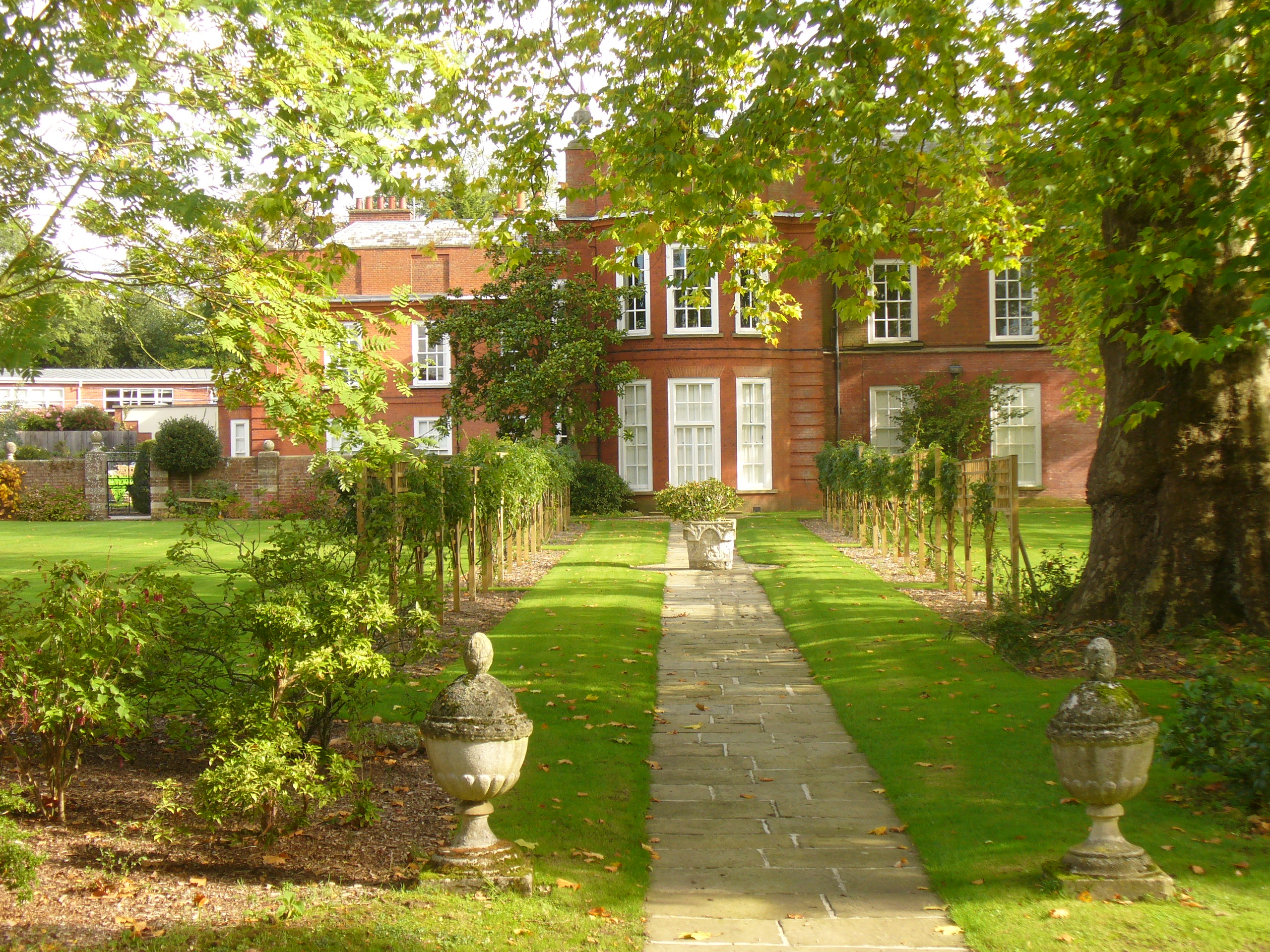
Bookham Lodge
The Grange is a gothic regency manor house in Stoke d'Abernon, Surrey that dates back to the 15th Century. It was part of the Eastwick Manor estate and...
Bookham Commons
Bookham Commons are two commons, situated just to the north of the villages of Great Bookham and Little Bookham, in Surrey, England, 154.7 hectares (382...

Cobham MSA
Cobham services is a motorway service area on the M25 motorway in Surrey between junctions 9 and 10. It is operated by Extra MSA and was opened for business...
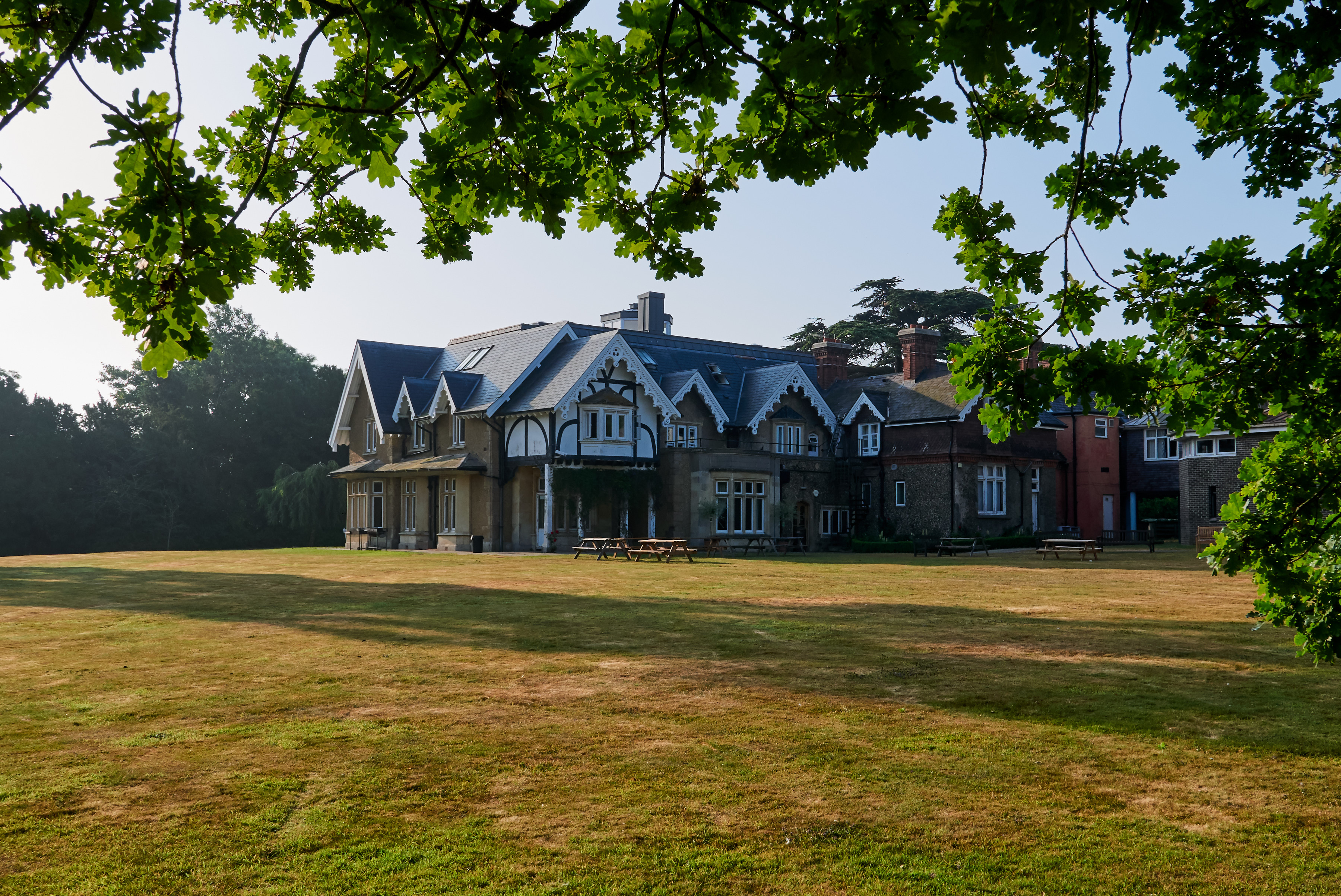
Yehudi Menuhin School
The Yehudi Menuhin School is a specialist music school in Stoke d'Abernon, Surrey, England, founded in 1963 by violinist and conductor Yehudi Menuhin....

Downside, Surrey
Downside is a small village in the English county of Surrey, in the local government district of Elmbridge, centred on Downside Common which is 18 miles...
Parkside School, Cobham
Parkside School is a private preparatory school located in Cobham. Founded in 1879, the school caters for boys aged 2 to 13 and for girls in the nursery...
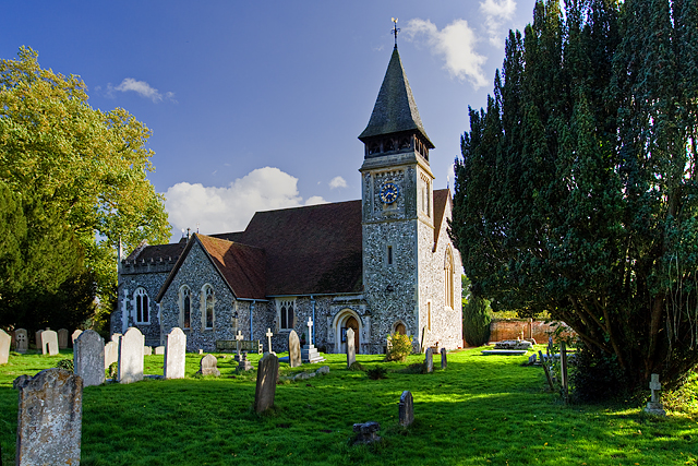
St Mary's Church, Stoke d'Abernon
The Church of St Mary is an Anglican church in the village of Stoke d'Abernon, Surrey, in the Diocese of Guildford. The church, the oldest parts of which...

Cobham Training Centre
The Cobham Training Centre, is the training ground of Chelsea Football Club located in the village of Stoke d'Abernon near the village of Cobham, Surrey...
Nearby Amenities
Located within 500m of 51.303407,-0.39402098Have you been to Chasemore Wood?
Leave your review of Chasemore Wood below (or comments, questions and feedback).