Poor Man's Croft
Wood, Forest in Sussex Horsham
England
Poor Man's Croft

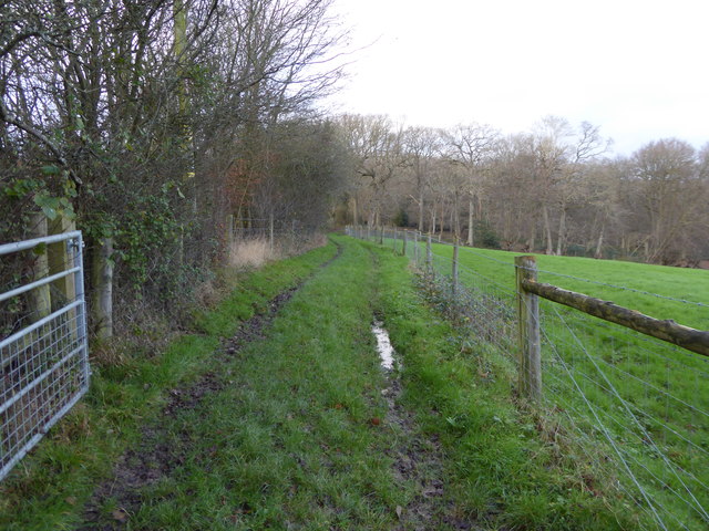
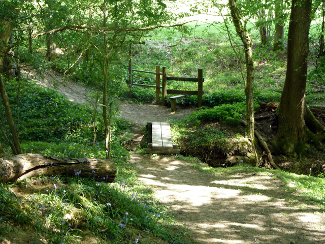
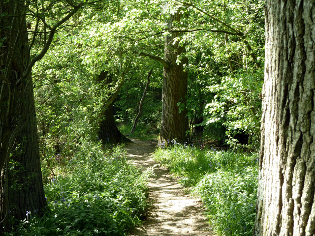
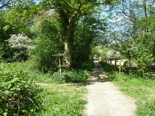
Poor Man's Croft is a charming woodland located in Sussex, England. Nestled within the sprawling countryside, this forested area is a haven of tranquility and natural beauty. Covering an approximate area of 500 acres, Poor Man's Croft boasts a diverse range of flora and fauna, making it a popular destination for nature enthusiasts and hikers alike.
The woodland is characterized by its dense canopy of trees, primarily consisting of oak, beech, and ash. These majestic trees provide a welcoming shade during the summer months and create a picturesque landscape throughout the year. The forest floor is adorned with a carpet of wildflowers, including bluebells, primroses, and wood anemones, adding a burst of color to the surroundings.
In addition to its natural beauty, Poor Man's Croft is home to a variety of wildlife. Visitors may catch glimpses of deer, foxes, badgers, and numerous bird species, including woodpeckers and owls. The forest is also home to several rare and protected species, such as the dormouse and the silver-washed fritillary butterfly.
The woodland offers a network of well-maintained trails and pathways, making it an ideal destination for walkers and outdoor enthusiasts. These pathways wind through the forest, allowing visitors to explore its hidden corners and discover its hidden treasures. There are also designated picnic areas where visitors can relax and enjoy the peaceful surroundings.
Overall, Poor Man's Croft in Sussex is a natural sanctuary that offers a harmonious blend of flora, fauna, and serenity. It provides a perfect escape from the hustle and bustle of everyday life, allowing visitors to reconnect with nature and revel in its breathtaking beauty.
If you have any feedback on the listing, please let us know in the comments section below.
Poor Man's Croft Images
Images are sourced within 2km of 51.089126/-0.41557611 or Grid Reference TQ1133. Thanks to Geograph Open Source API. All images are credited.


Poor Man's Croft is located at Grid Ref: TQ1133 (Lat: 51.089126, Lng: -0.41557611)
Administrative County: West Sussex
District: Horsham
Police Authority: Sussex
What 3 Words
///contracting.slam.loom. Near Slinfold, West Sussex
Related Wikis

Holy Trinity Church, Rudgwick
Holy Trinity Church is the Anglican parish church of Rudgwick, a village in the Horsham district of West Sussex, England. The oldest part of the church...

Rudgwick
Rudgwick is a village and civil parish in the Horsham District of West Sussex, England. The village is 6 miles (10 km) west from Horsham on the north...

Slinfold
Slinfold is a village and civil parish in the Horsham District of West Sussex, England. == Geography == The village is almost 4 miles (6.4 km) west of...

Slinfold Stream and Quarry
Slinfold Stream and Quarry is a 2.3-hectare (5.7-acre) geological Site of Special Scientific Interest west of Horsham in West Sussex. It is a Geological...

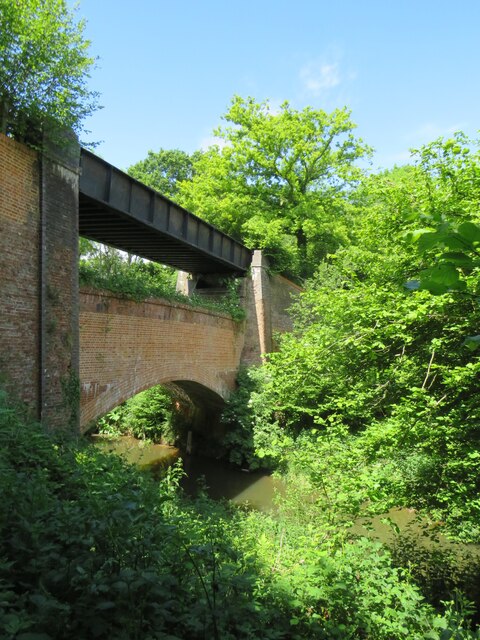
Slinfold railway station
Slinfold railway station was on the Cranleigh Line and served the village of Slinfold in West Sussex. == History == The line had a single track and opened...
Rudgwick railway station
Rudgwick railway station was on the Cranleigh Line. It served the village of Rudgwick in West Sussex until June, 1965. == History == Rudgwick station opened...

High Weald AONB
The High Weald Area of Outstanding Natural Beauty is in south-east England. Covering an area of 1,450 square kilometres (560 sq mi), it takes up parts...

Stane Street (Chichester)
Stane Street is the modern name of the 91 km-long (57 mi) Roman road in southern England that linked Londinium (London) to Noviomagus Reginorum (Chichester...
Nearby Amenities
Located within 500m of 51.089126,-0.41557611Have you been to Poor Man's Croft?
Leave your review of Poor Man's Croft below (or comments, questions and feedback).