Plattershill Copse
Wood, Forest in Sussex Horsham
England
Plattershill Copse
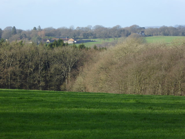
Plattershill Copse is a picturesque woodland located in Sussex, England. Covering an area of approximately 50 acres, this enchanting forest is known for its diverse array of flora and fauna, making it a popular destination for nature enthusiasts and hikers alike.
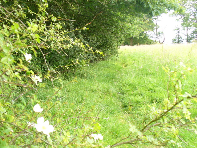
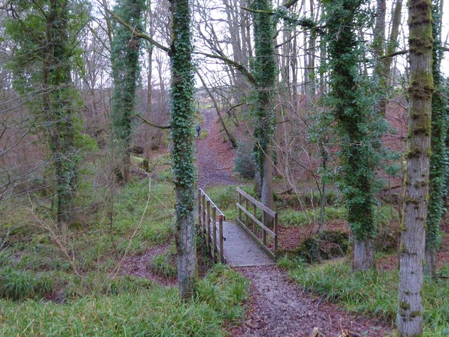
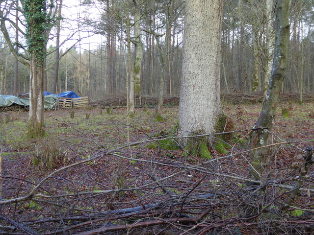
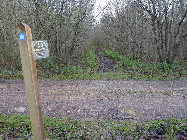
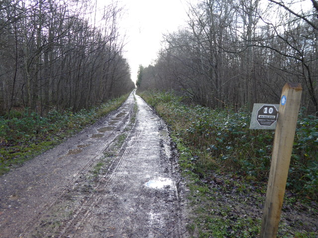
The copse is predominantly made up of native broadleaf trees, such as oak, beech, and ash, which create a dense canopy that provides shade and shelter for the woodland floor. The forest floor itself is a carpet of lush green moss, interspersed with vibrant wildflowers during the spring and summer months.
Wandering through Plattershill Copse, visitors are likely to encounter a variety of wildlife. The woodland is home to numerous bird species, including woodpeckers, owls, and various songbirds. Squirrels can often be seen darting through the trees, while deer occasionally make an appearance, adding to the charm and tranquility of the forest.
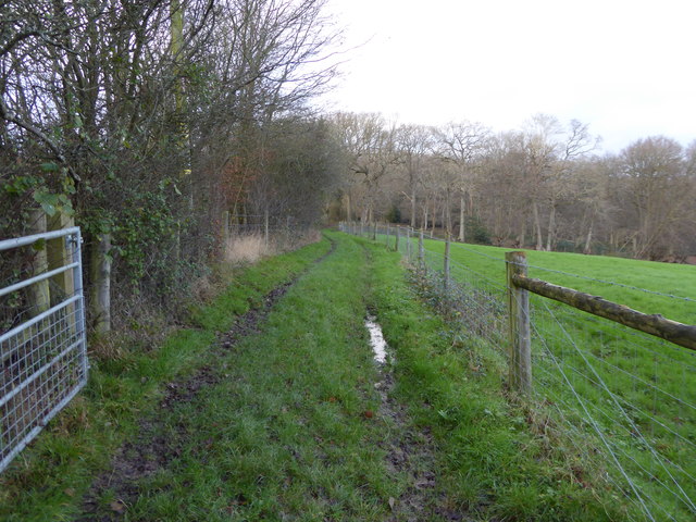
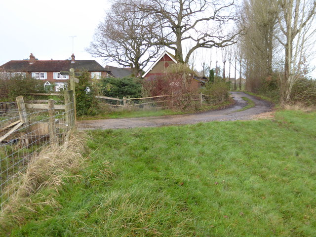
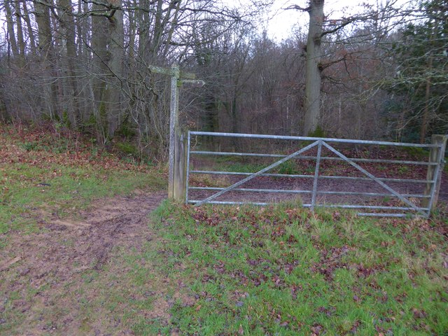
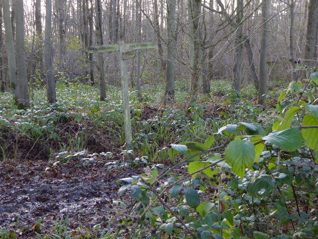
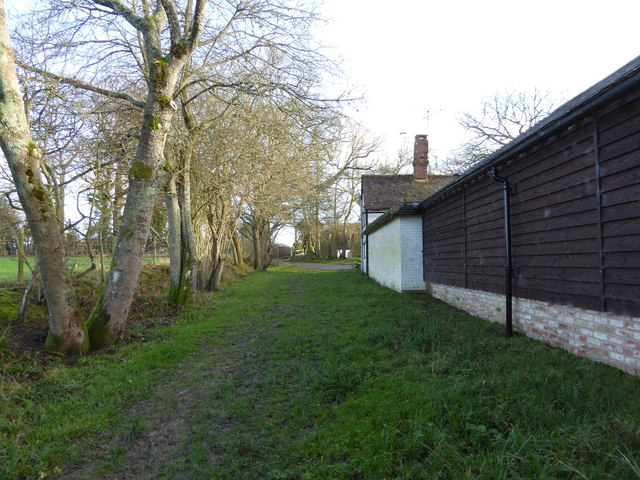
The copse is crisscrossed by a network of well-maintained footpaths, allowing visitors to explore its beauty at their own pace. These paths wind their way through the woods, providing stunning views of ancient trees and glimpses of sunlight filtering through the foliage. Along the way, benches and picnic areas offer the perfect spots for visitors to rest and soak in the peaceful atmosphere.
Plattershill Copse is not only a haven for nature lovers but also an important habitat for local wildlife. The forest is actively managed by conservation organizations to ensure the preservation of its biodiversity. With its natural beauty and serene ambiance, Plattershill Copse is a true gem of Sussex, providing a wonderful escape into the heart of nature.
If you have any feedback on the listing, please let us know in the comments section below.
Plattershill Copse Images
Images are sourced within 2km of 51.090254/-0.40397105 or Grid Reference TQ1133. Thanks to Geograph Open Source API. All images are credited.


Plattershill Copse is located at Grid Ref: TQ1133 (Lat: 51.090254, Lng: -0.40397105)
Administrative County: West Sussex
District: Horsham
Police Authority: Sussex
What 3 Words
///pies.ferried.octagon. Near Slinfold, West Sussex
Related Wikis

Slinfold Stream and Quarry
Slinfold Stream and Quarry is a 2.3-hectare (5.7-acre) geological Site of Special Scientific Interest west of Horsham in West Sussex. It is a Geological...

Slinfold
Slinfold is a village and civil parish in the Horsham District of West Sussex, England. == Geography == The village is almost 4 miles (6.4 km) west of...

High Weald AONB
The High Weald Area of Outstanding Natural Beauty is in south-east England. Covering an area of 1,450 square kilometres (560 sq mi), it takes up parts...

Slinfold railway station
Slinfold railway station was on the Cranleigh Line and served the village of Slinfold in West Sussex. == History == The line had a single track and opened...

Holy Trinity Church, Rudgwick
Holy Trinity Church is the Anglican parish church of Rudgwick, a village in the Horsham district of West Sussex, England. The oldest part of the church...

Stane Street (Chichester)
Stane Street is the modern name of the 91 km-long (57 mi) Roman road in southern England that linked Londinium (London) to Noviomagus Reginorum (Chichester...

Rudgwick
Rudgwick is a village and civil parish in the Horsham District of West Sussex, England. The village is 6 miles (10 km) west from Horsham on the north...

Field Place, Warnham
Field Place is a Grade I listed house in Warnham, West Sussex, England. It is the birthplace of the poet Percy Bysshe Shelley, born there in 1792. The...
Nearby Amenities
Located within 500m of 51.090254,-0.40397105Have you been to Plattershill Copse?
Leave your review of Plattershill Copse below (or comments, questions and feedback).