Sardesons Plantation

Wood, Forest in Lincolnshire North Kesteven

England

Sardesons Plantation

A17 lay-by
A17 lay-by Credit: Alex McGregor

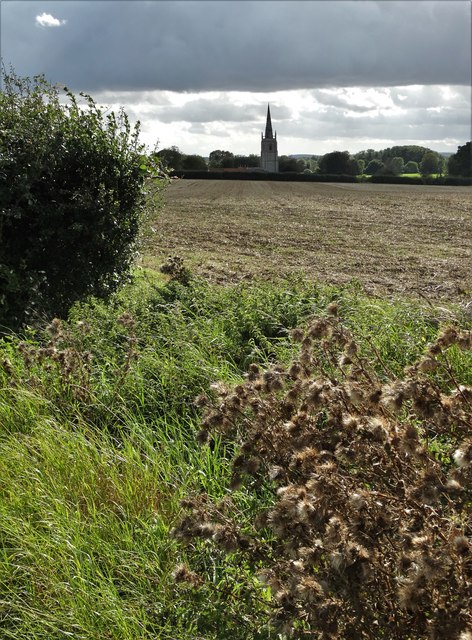
Sardesons Plantation is a picturesque woodland located in Lincolnshire, England. Spanning over a vast area, it is renowned for its breathtaking natural beauty and diverse ecosystem. The plantation is situated in close proximity to the town of Sardesons, making it easily accessible to visitors.

The woodland is primarily composed of a variety of tree species, including oak, beech, birch, and pine, creating a rich and lush environment. The dense canopy provides a habitat for numerous wildlife species, such as deer, foxes, badgers, and a wide range of bird species. Walking through the plantation, visitors can enjoy the peaceful ambience and observe the diverse flora and fauna that call this place home.

Sardesons Plantation offers a range of activities for outdoor enthusiasts. There are well-maintained walking trails that wind through the woodland, allowing visitors to explore the beauty at their own pace. The trails are suitable for all fitness levels, making it an ideal destination for families and nature lovers.

In addition to walking, the plantation also offers opportunities for birdwatching and photography. The varied bird species that inhabit the area make it a haven for bird enthusiasts, who can spot species such as woodpeckers, owls, and various songbirds.

Overall, Sardesons Plantation is a haven of natural beauty and tranquility, providing a perfect escape from the hustle and bustle of everyday life. Whether it's a leisurely walk, wildlife spotting, or simply enjoying the peace and serenity of nature, this woodland offers something for everyone.

If you have any feedback on the listing, please let us know in the comments section below.

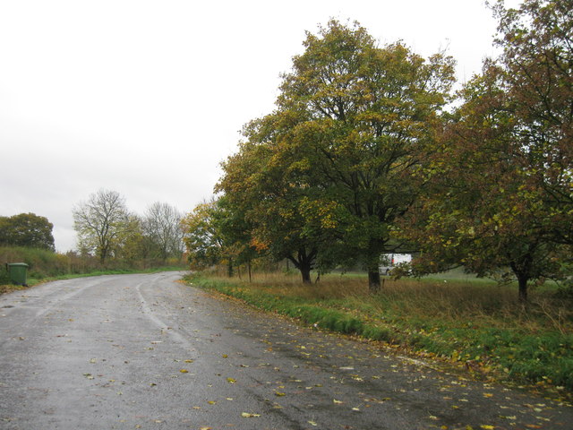
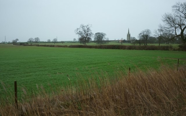
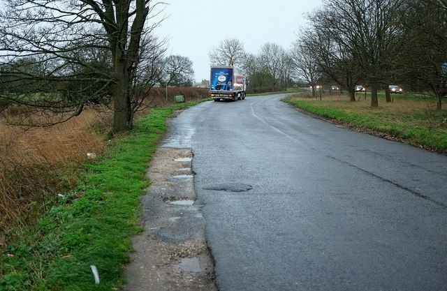
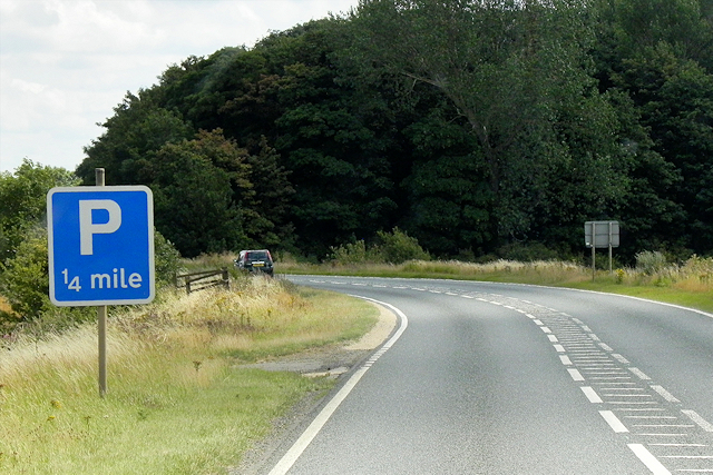
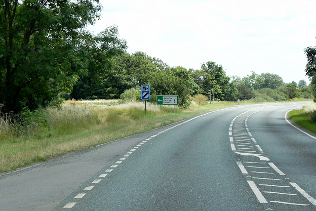
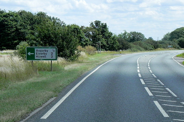
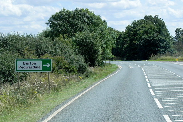
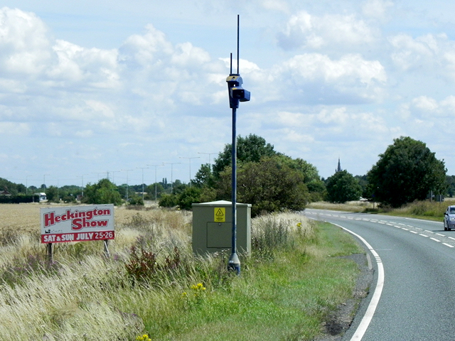
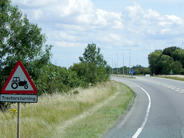
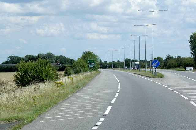
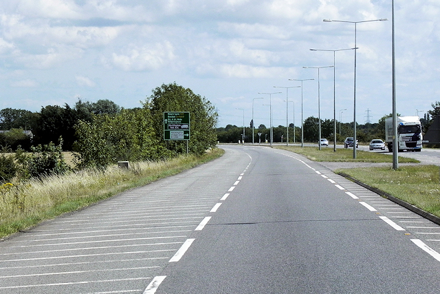
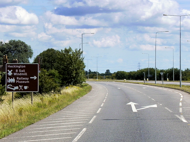
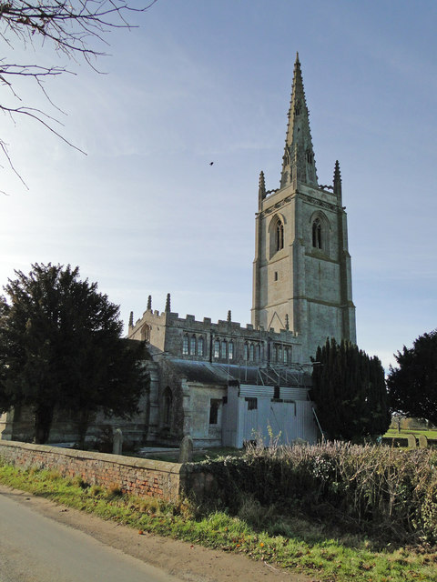
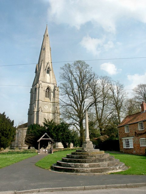
Sardesons Plantation Images

Images are sourced within 2km of 52.98704/-0.34781863 or Grid Reference TF1144. Thanks to Geograph Open Source API. All images are credited.

A17 lay-by
A17 lay-by
Towards the church at Asgarby From a lay-by on the A17 on a dismal winter's day. In the next field are many scattered trees. The grade I listed St Andrew's church at Asgarby is also shown in many of the photos at <a title="https://www.geograph.org.uk/search.php?i=60287574" href="https://www.geograph.org.uk/search.php?i=60287574">Link</a> and described at <span class="nowrap"><a title="http://www.historicengland.org.uk/listing/the-list/list-entry/1061832" rel="nofollow ugc noopener" href="http://www.historicengland.org.uk/listing/the-list/list-entry/1061832">Link</a><img style="margin-left:2px;" alt="External link" title="External link - shift click to open in new window" src="https://s1.geograph.org.uk/img/external.png" width="10" height="10"/></span> . The tower dates from the C14.
Towards the church at Asgarby
From a lay-by on the A17 on a dismal winter's day. In the next field are many scattered trees. The grade I listed St Andrew's church at Asgarby is also shown in many of the photos at Link and described at LinkExternal link . The tower dates from the C14.
Lay-by, Asgarby You can get some idea of the gloom from the headlights on passing vehicles. It's raining fairly steadily. This is the spot from which <a href="https://www.geograph.org.uk/photo/4792202">TF1145 : Towards the church at Asgarby</a> was taken.
Lay-by, Asgarby
You can get some idea of the gloom from the headlights on passing vehicles. It's raining fairly steadily. This is the spot from which TF1145 : Towards the church at Asgarby was taken.
The A17, East of Kirkby la Thorpe The A17 is the major route for HGV's accessing Norfolk from Northern England and the Midlands and also a major holiday route in the summer months for cars and caravans making their way to the seaside resorts of Hunstanton, Wells-next-the-Sea, Sheringham, Cromer and Great Yarmouth and is one of only two direct routes that links Norfolk with the A1, the other being the A47. It runs for almost 60 miles from Winthorpe, near Newark-on-Trent to King's Lynn across the flat landscape of the Lincolnshire fens with only four stretches of dual carriageway. 
<span class="nowrap"><a title="http://www.sabre-roads.org.uk/wiki/index.php?title=A17" rel="nofollow ugc noopener" href="http://www.sabre-roads.org.uk/wiki/index.php?title=A17">Link</a><img style="margin-left:2px;" alt="External link" title="External link - shift click to open in new window" src="https://s1.geograph.org.uk/img/external.png" width="10" height="10"/></span>  SABRE
<span class="nowrap"><a title="https://en.wikipedia.org/wiki/A17_road_(England)" rel="nofollow ugc noopener" href="https://en.wikipedia.org/wiki/A17_road_(England)">Link</a><img style="margin-left:2px;" alt="External link" title="External link - shift click to open in new window" src="https://s1.geograph.org.uk/img/external.png" width="10" height="10"/></span>  Wikipedia
The A17, East of Kirkby la Thorpe
The A17 is the major route for HGV's accessing Norfolk from Northern England and the Midlands and also a major holiday route in the summer months for cars and caravans making their way to the seaside resorts of Hunstanton, Wells-next-the-Sea, Sheringham, Cromer and Great Yarmouth and is one of only two direct routes that links Norfolk with the A1, the other being the A47. It runs for almost 60 miles from Winthorpe, near Newark-on-Trent to King's Lynn across the flat landscape of the Lincolnshire fens with only four stretches of dual carriageway. LinkExternal link SABRE LinkExternal link Wikipedia
Eastbound A17 The A17 is the major route for HGV's accessing Norfolk from Northern England and the Midlands and also a major holiday route in the summer months for cars and caravans making their way to the seaside resorts of Hunstanton, Wells-next-the-Sea, Sheringham, Cromer and Great Yarmouth and is one of only two direct routes that links Norfolk with the A1, the other being the A47. It runs for almost 60 miles from Winthorpe, near Newark-on-Trent to King's Lynn across the flat landscape of the Lincolnshire fens with only four stretches of dual carriageway. 
<span class="nowrap"><a title="http://www.sabre-roads.org.uk/wiki/index.php?title=A17" rel="nofollow ugc noopener" href="http://www.sabre-roads.org.uk/wiki/index.php?title=A17">Link</a><img style="margin-left:2px;" alt="External link" title="External link - shift click to open in new window" src="https://s1.geograph.org.uk/img/external.png" width="10" height="10"/></span>  SABRE
<span class="nowrap"><a title="https://en.wikipedia.org/wiki/A17_road_(England)" rel="nofollow ugc noopener" href="https://en.wikipedia.org/wiki/A17_road_(England)">Link</a><img style="margin-left:2px;" alt="External link" title="External link - shift click to open in new window" src="https://s1.geograph.org.uk/img/external.png" width="10" height="10"/></span>  Wikipedia
Eastbound A17
The A17 is the major route for HGV's accessing Norfolk from Northern England and the Midlands and also a major holiday route in the summer months for cars and caravans making their way to the seaside resorts of Hunstanton, Wells-next-the-Sea, Sheringham, Cromer and Great Yarmouth and is one of only two direct routes that links Norfolk with the A1, the other being the A47. It runs for almost 60 miles from Winthorpe, near Newark-on-Trent to King's Lynn across the flat landscape of the Lincolnshire fens with only four stretches of dual carriageway. LinkExternal link SABRE LinkExternal link Wikipedia
A17 near to Asgarby The A17 is the major route for HGV's accessing Norfolk from Northern England and the Midlands and also a major holiday route in the summer months for cars and caravans making their way to the seaside resorts of Hunstanton, Wells-next-the-Sea, Sheringham, Cromer and Great Yarmouth and is one of only two direct routes that links Norfolk with the A1, the other being the A47. It runs for almost 60 miles from Winthorpe, near Newark-on-Trent to King's Lynn across the flat landscape of the Lincolnshire fens with only four stretches of dual carriageway. 
<span class="nowrap"><a title="http://www.sabre-roads.org.uk/wiki/index.php?title=A17" rel="nofollow ugc noopener" href="http://www.sabre-roads.org.uk/wiki/index.php?title=A17">Link</a><img style="margin-left:2px;" alt="External link" title="External link - shift click to open in new window" src="https://s1.geograph.org.uk/img/external.png" width="10" height="10"/></span>  SABRE
<span class="nowrap"><a title="https://en.wikipedia.org/wiki/A17_road_(England)" rel="nofollow ugc noopener" href="https://en.wikipedia.org/wiki/A17_road_(England)">Link</a><img style="margin-left:2px;" alt="External link" title="External link - shift click to open in new window" src="https://s1.geograph.org.uk/img/external.png" width="10" height="10"/></span>  Wikipedia
A17 near to Asgarby
The A17 is the major route for HGV's accessing Norfolk from Northern England and the Midlands and also a major holiday route in the summer months for cars and caravans making their way to the seaside resorts of Hunstanton, Wells-next-the-Sea, Sheringham, Cromer and Great Yarmouth and is one of only two direct routes that links Norfolk with the A1, the other being the A47. It runs for almost 60 miles from Winthorpe, near Newark-on-Trent to King's Lynn across the flat landscape of the Lincolnshire fens with only four stretches of dual carriageway. LinkExternal link SABRE LinkExternal link Wikipedia
Eastbound A17 approaching Turnoff for Asgarby The A17 is the major route for HGV's accessing Norfolk from Northern England and the Midlands and also a major holiday route in the summer months for cars and caravans making their way to the seaside resorts of Hunstanton, Wells-next-the-Sea, Sheringham, Cromer and Great Yarmouth and is one of only two direct routes that links Norfolk with the A1, the other being the A47. It runs for almost 60 miles from Winthorpe, near Newark-on-Trent to King's Lynn across the flat landscape of the Lincolnshire fens with only four stretches of dual carriageway. 
<span class="nowrap"><a title="http://www.sabre-roads.org.uk/wiki/index.php?title=A17" rel="nofollow ugc noopener" href="http://www.sabre-roads.org.uk/wiki/index.php?title=A17">Link</a><img style="margin-left:2px;" alt="External link" title="External link - shift click to open in new window" src="https://s1.geograph.org.uk/img/external.png" width="10" height="10"/></span>  SABRE
<span class="nowrap"><a title="https://en.wikipedia.org/wiki/A17_road_(England)" rel="nofollow ugc noopener" href="https://en.wikipedia.org/wiki/A17_road_(England)">Link</a><img style="margin-left:2px;" alt="External link" title="External link - shift click to open in new window" src="https://s1.geograph.org.uk/img/external.png" width="10" height="10"/></span>  Wikipedia
Eastbound A17 approaching Turnoff for Asgarby
The A17 is the major route for HGV's accessing Norfolk from Northern England and the Midlands and also a major holiday route in the summer months for cars and caravans making their way to the seaside resorts of Hunstanton, Wells-next-the-Sea, Sheringham, Cromer and Great Yarmouth and is one of only two direct routes that links Norfolk with the A1, the other being the A47. It runs for almost 60 miles from Winthorpe, near Newark-on-Trent to King's Lynn across the flat landscape of the Lincolnshire fens with only four stretches of dual carriageway. LinkExternal link SABRE LinkExternal link Wikipedia
Eastbound A17, approaching Turnoff for Burton Pedwardine The A17 is the major route for HGV's accessing Norfolk from Northern England and the Midlands and also a major holiday route in the summer months for cars and caravans making their way to the seaside resorts of Hunstanton, Wells-next-the-Sea, Sheringham, Cromer and Great Yarmouth and is one of only two direct routes that links Norfolk with the A1, the other being the A47. It runs for almost 60 miles from Winthorpe, near Newark-on-Trent to King's Lynn across the flat landscape of the Lincolnshire fens with only four stretches of dual carriageway. 
<span class="nowrap"><a title="http://www.sabre-roads.org.uk/wiki/index.php?title=A17" rel="nofollow ugc noopener" href="http://www.sabre-roads.org.uk/wiki/index.php?title=A17">Link</a><img style="margin-left:2px;" alt="External link" title="External link - shift click to open in new window" src="https://s1.geograph.org.uk/img/external.png" width="10" height="10"/></span>  SABRE
<span class="nowrap"><a title="https://en.wikipedia.org/wiki/A17_road_(England)" rel="nofollow ugc noopener" href="https://en.wikipedia.org/wiki/A17_road_(England)">Link</a><img style="margin-left:2px;" alt="External link" title="External link - shift click to open in new window" src="https://s1.geograph.org.uk/img/external.png" width="10" height="10"/></span>  Wikipedia
Eastbound A17, approaching Turnoff for Burton Pedwardine
The A17 is the major route for HGV's accessing Norfolk from Northern England and the Midlands and also a major holiday route in the summer months for cars and caravans making their way to the seaside resorts of Hunstanton, Wells-next-the-Sea, Sheringham, Cromer and Great Yarmouth and is one of only two direct routes that links Norfolk with the A1, the other being the A47. It runs for almost 60 miles from Winthorpe, near Newark-on-Trent to King's Lynn across the flat landscape of the Lincolnshire fens with only four stretches of dual carriageway. LinkExternal link SABRE LinkExternal link Wikipedia
Traffic Cameras on the A17 The A17 is the major route for HGV's accessing Norfolk from Northern England and the Midlands and also a major holiday route in the summer months for cars and caravans making their way to the seaside resorts of Hunstanton, Wells-next-the-Sea, Sheringham, Cromer and Great Yarmouth and is one of only two direct routes that links Norfolk with the A1, the other being the A47. It runs for almost 60 miles from Winthorpe, near Newark-on-Trent to King's Lynn across the flat landscape of the Lincolnshire fens with only four stretches of dual carriageway. 
<span class="nowrap"><a title="http://www.sabre-roads.org.uk/wiki/index.php?title=A17" rel="nofollow ugc noopener" href="http://www.sabre-roads.org.uk/wiki/index.php?title=A17">Link</a><img style="margin-left:2px;" alt="External link" title="External link - shift click to open in new window" src="https://s1.geograph.org.uk/img/external.png" width="10" height="10"/></span>  SABRE
<span class="nowrap"><a title="https://en.wikipedia.org/wiki/A17_road_(England)" rel="nofollow ugc noopener" href="https://en.wikipedia.org/wiki/A17_road_(England)">Link</a><img style="margin-left:2px;" alt="External link" title="External link - shift click to open in new window" src="https://s1.geograph.org.uk/img/external.png" width="10" height="10"/></span>  Wikipedia
Traffic Cameras on the A17
The A17 is the major route for HGV's accessing Norfolk from Northern England and the Midlands and also a major holiday route in the summer months for cars and caravans making their way to the seaside resorts of Hunstanton, Wells-next-the-Sea, Sheringham, Cromer and Great Yarmouth and is one of only two direct routes that links Norfolk with the A1, the other being the A47. It runs for almost 60 miles from Winthorpe, near Newark-on-Trent to King's Lynn across the flat landscape of the Lincolnshire fens with only four stretches of dual carriageway. LinkExternal link SABRE LinkExternal link Wikipedia
A17 West of Heckington The A17 is the major route for HGV's accessing Norfolk from Northern England and the Midlands and also a major holiday route in the summer months for cars and caravans making their way to the seaside resorts of Hunstanton, Wells-next-the-Sea, Sheringham, Cromer and Great Yarmouth and is one of only two direct routes that links Norfolk with the A1, the other being the A47. It runs for almost 60 miles from Winthorpe, near Newark-on-Trent to King's Lynn across the flat landscape of the Lincolnshire fens with only four stretches of dual carriageway. 
<span class="nowrap"><a title="http://www.sabre-roads.org.uk/wiki/index.php?title=A17" rel="nofollow ugc noopener" href="http://www.sabre-roads.org.uk/wiki/index.php?title=A17">Link</a><img style="margin-left:2px;" alt="External link" title="External link - shift click to open in new window" src="https://s1.geograph.org.uk/img/external.png" width="10" height="10"/></span>  SABRE
<span class="nowrap"><a title="https://en.wikipedia.org/wiki/A17_road_(England)" rel="nofollow ugc noopener" href="https://en.wikipedia.org/wiki/A17_road_(England)">Link</a><img style="margin-left:2px;" alt="External link" title="External link - shift click to open in new window" src="https://s1.geograph.org.uk/img/external.png" width="10" height="10"/></span>  Wikipedia
A17 West of Heckington
The A17 is the major route for HGV's accessing Norfolk from Northern England and the Midlands and also a major holiday route in the summer months for cars and caravans making their way to the seaside resorts of Hunstanton, Wells-next-the-Sea, Sheringham, Cromer and Great Yarmouth and is one of only two direct routes that links Norfolk with the A1, the other being the A47. It runs for almost 60 miles from Winthorpe, near Newark-on-Trent to King's Lynn across the flat landscape of the Lincolnshire fens with only four stretches of dual carriageway. LinkExternal link SABRE LinkExternal link Wikipedia
Eastbound A17, Start of the Heckington Bypass This 2½ mile section of the A17 forms the Heckington Bypass. It has short dual carriageway sections at each end. The bypass was opened in December 1982; it follows the former route of the B1394.
Eastbound A17, Start of the Heckington Bypass
This 2½ mile section of the A17 forms the Heckington Bypass. It has short dual carriageway sections at each end. The bypass was opened in December 1982; it follows the former route of the B1394.
Eastbound A17, Heckington Bypass This 2½ mile section of the A17 forms the Heckington Bypass. It has short dual carriageway sections at each end. The bypass was opened in December 1982; it follows the former route of the B1394.
Eastbound A17, Heckington Bypass
This 2½ mile section of the A17 forms the Heckington Bypass. It has short dual carriageway sections at each end. The bypass was opened in December 1982; it follows the former route of the B1394.
Heckington Bypass (A17) This 2½ mile section of the A17 forms the Heckington Bypass. It has short dual carriageway sections at each end. The bypass was opened in December 1982; it follows the former route of the B1394.
Heckington Bypass (A17)
This 2½ mile section of the A17 forms the Heckington Bypass. It has short dual carriageway sections at each end. The bypass was opened in December 1982; it follows the former route of the B1394.
Heckington Bypass, Turnoff for the Village This 2½ mile section of the A17 forms the Heckington Bypass. It has short dual carriageway sections at each end. The bypass was opened in December 1982; it follows the former route of the B1394.
Heckington Bypass, Turnoff for the Village
This 2½ mile section of the A17 forms the Heckington Bypass. It has short dual carriageway sections at each end. The bypass was opened in December 1982; it follows the former route of the B1394.
Flush Bracket OSBM G1478: Asgarby Flush bracket bench mark on a house adjoining the A17.  See <span class="nowrap"><a title="http://www.bench-marks.org.uk/bm16726" rel="nofollow ugc noopener" href="http://www.bench-marks.org.uk/bm16726">Link</a><img style="margin-left:2px;" alt="External link" title="External link - shift click to open in new window" src="https://s1.geograph.org.uk/img/external.png" width="10" height="10"/></span> for details.
Flush Bracket OSBM G1478: Asgarby
Flush bracket bench mark on a house adjoining the A17. See LinkExternal link for details.
A view of St Andrew's Church, Asgarby
St Andrew's Church, Asgarby Currently undergoing major repairs and refurbishment in this underpopulated parish.
St Andrew's Church, Asgarby
Currently undergoing major repairs and refurbishment in this underpopulated parish.
Asgarby St. Andrew's church Undergoing restoration
Asgarby St. Andrew's church
Undergoing restoration
Show me another place!

Sardesons Plantation is located at Grid Ref: TF1144 (Lat: 52.98704, Lng: -0.34781863)

Administrative County: Lincolnshire

District: North Kesteven

Police Authority: Lincolnshire

What 3 Words

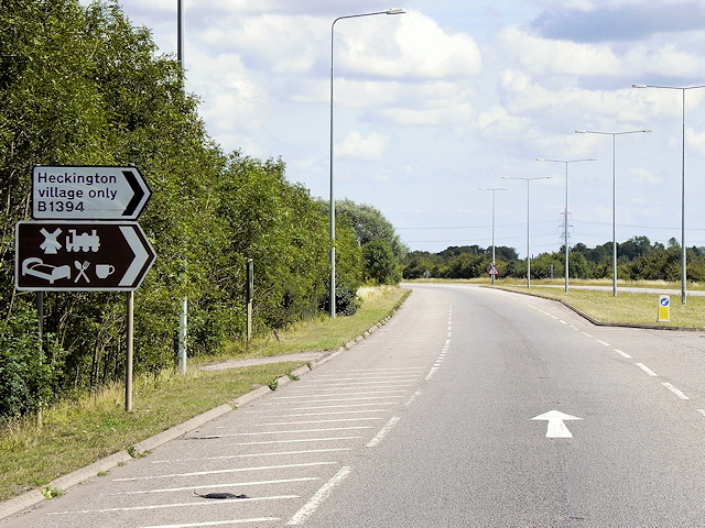
///blocking.creamed.dorms. Near Heckington, Lincolnshire

Nearby Locations

Sardesons Plantation

Related Wikis

Asgarby, North Kesteven

Asgarby is a village in the civil parish of Asgarby and Howell, in the North Kesteven district of Lincolnshire, England. It is situated on the A17 Boston...

East Kesteven Rural District

East Kesteven was a rural district in Lincolnshire, Parts of Kesteven from 1931 to 1974. It was formed under a County Review Order, by the merger of most...

Kirkby la Thorpe

Kirkby la Thorpe is a village and civil parish in North Kesteven district of Lincolnshire, England.The population at the 2011 census was 1,120. It lies...

Boughton, Lincolnshire

Boughton is a hamlet in Lincolnshire, England. It is in the civil parish of Asgarby and Howell. == External links == Media related to Boughton, Lincolnshire...

Asgarby and Howell

Asgarby and Howell is a civil parish in the North Kesteven district of Lincolnshire, England, consisting of the villages of Asgarby and Howell. According...

Burton Pedwardine

Burton Pedwardine is a hamlet and civil parish in the district of North Kesteven, Lincolnshire, England. The population at the 2011 census was 187. The...

Ewerby

Ewerby is a village in the North Kesteven district of Lincolnshire, England. It lies 3 miles (4.8 km) north-east from Sleaford and 2 miles (3.2 km) south...
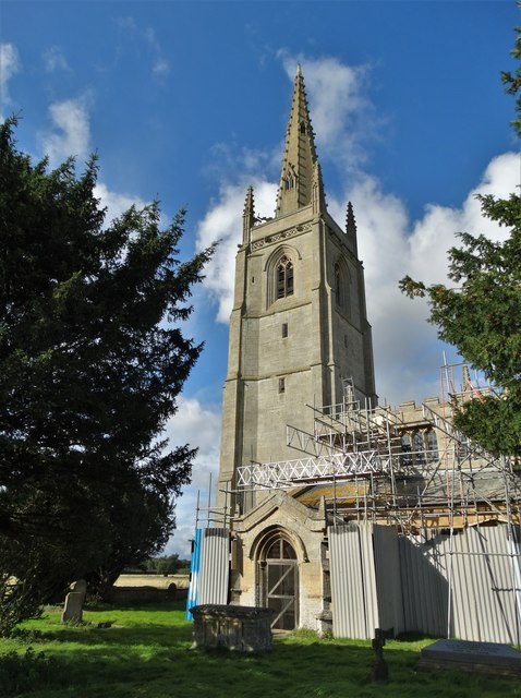
Heckington

Heckington is a village and civil parish in the North Kesteven district of Lincolnshire, England. It is situated between Sleaford and Swineshead Bridge...

Nearby Amenities

Located within 500m of 52.98704,-0.34781863
Railway: level_crossing
Source: Bing
Lat/Long: 52.98882/-0.3541999
Sardesons Farm
Place: farm
Source: Bing
Lat/Long: 52.9869395/-0.3535779
Railway: level_crossing
Lat/Long: 52.9865301/-0.3420746
The data included in this document is from www.openstreetmap.org. The data is made available under ODbL.

Have you been to Sardesons Plantation?

Leave your review of Sardesons Plantation below (or comments, questions and feedback).