Hogstye Copse

Wood, Forest in Surrey Waverley

England

Hogstye Copse

Old Oast, Ellens Green, Horsham -
Old Oast, Ellens Green, Horsham Credit: Oast House Archive

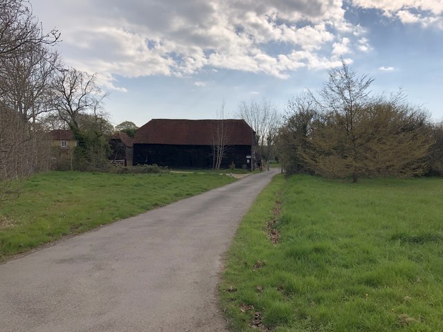
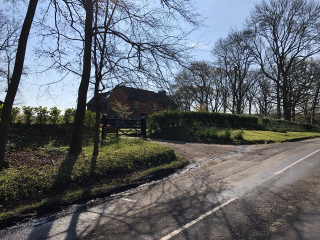
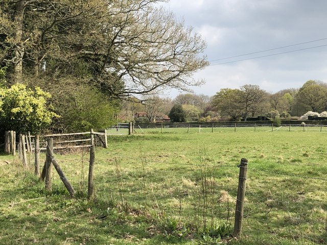
Hogstye Copse is a picturesque woodland located in the county of Surrey, England. Situated near the village of Chiddingfold, it covers an area of approximately 20 acres and is known for its serene atmosphere and natural beauty. The copse is a mix of deciduous and coniferous trees, creating a diverse and vibrant landscape.

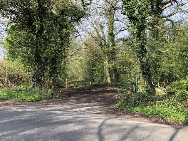
Visitors to Hogstye Copse are greeted with a well-maintained network of footpaths that wind through the woodland, allowing for easy exploration. The paths are surrounded by a rich undergrowth of ferns, wildflowers, and moss-covered rocks, adding to the copse's enchanting appeal.

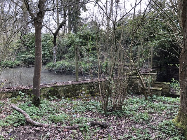
The woodland is home to a variety of wildlife, including deer, rabbits, squirrels, and numerous bird species. Birdwatchers can often spot woodpeckers, owls, and songbirds amidst the tree canopy. The copse is also home to a small stream that meanders through the woodland, creating a peaceful backdrop and providing a source of water for the surrounding flora and fauna.

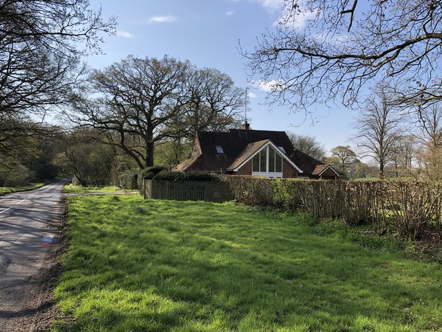
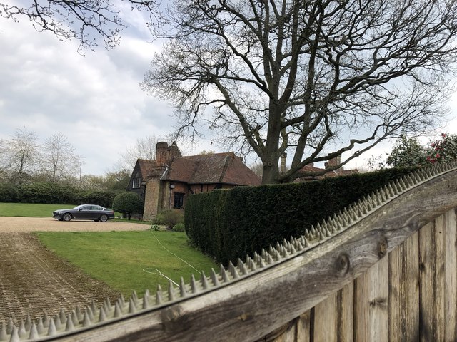
Hogstye Copse is a popular destination for nature enthusiasts, walkers, and photographers. Its tranquil setting and abundance of natural features make it an ideal location for relaxation and reflection. The copse is particularly breathtaking during the autumn months when the leaves change color, creating a vibrant tapestry of reds, oranges, and golds.

Overall, Hogstye Copse offers a delightful escape into nature, providing visitors with a chance to immerse themselves in the beauty of the Surrey countryside.

If you have any feedback on the listing, please let us know in the comments section below.

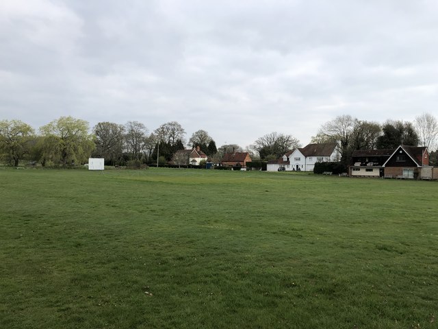
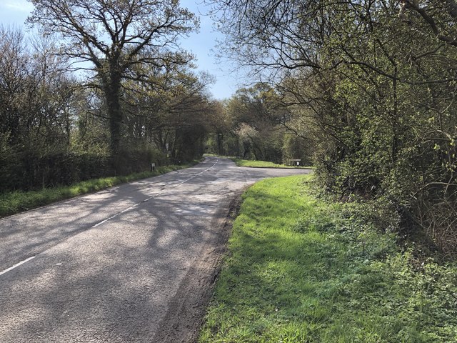
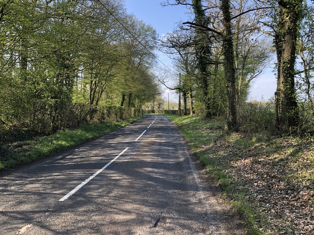
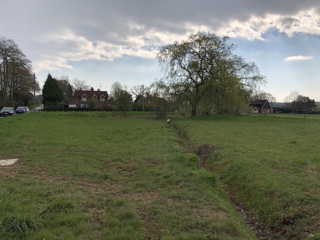
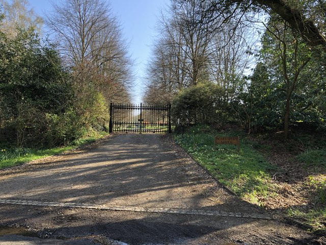
Hogstye Copse Images

Images are sourced within 2km of 51.134974/-0.41978197 or Grid Reference TQ1038. Thanks to Geograph Open Source API. All images are credited.

Old Oast, Ellens Green, Horsham -
Old Oast, Ellens Green, Horsham
-
Cricket Ground at Ewhurst Green
Approaching Somersbury Lane On The Green (lane) nearing the junction with Somersbury Lane leaving to the right. Beyond the junction it becomes Horsham Lane.
Approaching Somersbury Lane
On The Green (lane) nearing the junction with Somersbury Lane leaving to the right. Beyond the junction it becomes Horsham Lane.
Somersbury Lane Heading southwest on the lane near Collendene.
Somersbury Lane
Heading southwest on the lane near Collendene.
Pond near Ewhurst Cricket Ground In an earlier Geograph photo the pond was overgrown but it now seems to be cleared and being maintained.
Pond near Ewhurst Cricket Ground
In an earlier Geograph photo the pond was overgrown but it now seems to be cleared and being maintained.
Barn at Rumbeams Farm Rumbeams Farm is at Ewhurst Green and is visible from the passing road ‘The Green’.
Barn at Rumbeams Farm
Rumbeams Farm is at Ewhurst Green and is visible from the passing road ‘The Green’.
Path leaving Somersbury Lane The public footpath leaves the lane at a corner and heads along a ridgeway to Longhurst Hill.
Path leaving Somersbury Lane
The public footpath leaves the lane at a corner and heads along a ridgeway to Longhurst Hill.
House by the entrance to Coxland The house is possibly a former Lodge at the entrance to Coxland from Somersbury Lane.
House by the entrance to Coxland
The house is possibly a former Lodge at the entrance to Coxland from Somersbury Lane.
Entrance to Somersbury Manor The impressive gated entrance to Somersbury Manor. The Manor House is a Grade II listed building.
Entrance to Somersbury Manor
The impressive gated entrance to Somersbury Manor. The Manor House is a Grade II listed building.
Somersbury Cottage The cottage near Somersbury Manor viewed from Somersbury Lane.
Somersbury Cottage
The cottage near Somersbury Manor viewed from Somersbury Lane.
Entrance to Collendene
Entrance to Hill House The entrance leads onto a long driveway up to the house.
Entrance to Hill House
The entrance leads onto a long driveway up to the house.
The Wind Break The narrow strand of trees ahead stretches northwards for almost two-thirds of a mile.
The Wind Break
The narrow strand of trees ahead stretches northwards for almost two-thirds of a mile.
Stile and gate Approaching a field corner near Bowles Farm.
Stile and gate
Approaching a field corner near Bowles Farm.
Fields near Old House On the public footpath near to Old House.
Fields near Old House
On the public footpath near to Old House.
Ponds near Old House The last in a series of small artificially created ponds.
Ponds near Old House
The last in a series of small artificially created ponds.
Old House The property Old House viewed from the passing public footpath. The house is a Grade II listed building.
Old House
The property Old House viewed from the passing public footpath. The house is a Grade II listed building.
Cottage Industry! This black, weather-boarded wooden cottage is used to sell wooden furniture. Note the black cat on the hut behind.
Cottage Industry!
This black, weather-boarded wooden cottage is used to sell wooden furniture. Note the black cat on the hut behind.
Show me another place!

Hogstye Copse is located at Grid Ref: TQ1038 (Lat: 51.134974, Lng: -0.41978197)

Administrative County: Surrey

District: Waverley

Police Authority: Surrey

What 3 Words

///across.chuckling.pounds. Near Ewhurst, Surrey

Related Wikis

Smokejack Clay Pit

Smokejack Clay Pit is a 56-hectare (140-acre) geological Site of Special Scientific Interest east of Cranleigh in Surrey. It is a Geological Conservation...

Wallis Wood

Wallis Wood is a 14-hectare (35-acre) nature reserve south-east of Ewhurst in Surrey. It is managed by the Surrey Wildlife Trust.A stream runs through...

High Weald AONB

The High Weald Area of Outstanding Natural Beauty is in south-east England. Covering an area of 1,450 square kilometres (560 sq mi), it takes up parts...

Longhurst Lodge

Longhurst Lodge is a Grade II listed building in Cranleigh, Surrey, England. It is located on the former Baynards Park estate, about a quarter of a mile...

Ewhurst, Surrey

Ewhurst is a rural village and civil parish in the borough of Waverley in Surrey, England. It is located 8.3 miles (13.4 km) south-east of Guildford,...

Baynards Park

Baynards Park is a 2,000 acres (810 ha) estate and site of a demolished country house with extant outbuildings, privately owned, in the south of the parishes...

Sayer's Croft LNR

Sayer's Croft is a 10.9-hectare (27-acre) Local Nature Reserve west of Ewhurst in Surrey. It is owned by the Sayer's Croft Environmental Education Trust...

Sayers Croft

Sayers Croft is a large outdoor 'learning camp' located in the village of Ewhurst, Surrey. It is one of the few remaining 'Camp schools' built by the National...

Nearby Amenities

Located within 500m of 51.134974,-0.41978197
Barrier: stile
Lat/Long: 51.1386288/-0.4204235
Barrier: stile
Lat/Long: 51.1387828/-0.4223044
Post Box
Operator: Royal Mail
Post Box Type: wall
Ref: GU6 145
Royal Cypher: GR
Royal Cypher Wikidata: Q33102273
Lat/Long: 51.1333991/-0.4193151
Kilns (Disused)
Building: industrial
Lat/Long: 51.1318055/-0.4165026
Power: pole
Lat/Long: 51.1324431/-0.4244288
Power: pole
Lat/Long: 51.1326935/-0.4255207
Power: pole
Lat/Long: 51.1321254/-0.4230899
The data included in this document is from www.openstreetmap.org. The data is made available under ODbL.

Have you been to Hogstye Copse?

Leave your review of Hogstye Copse below (or comments, questions and feedback).