Goldings Copse
Wood, Forest in Surrey Waverley
England
Goldings Copse
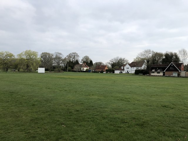
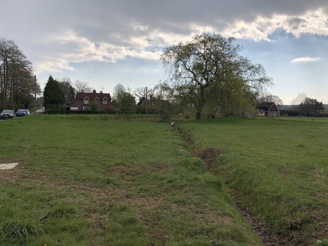
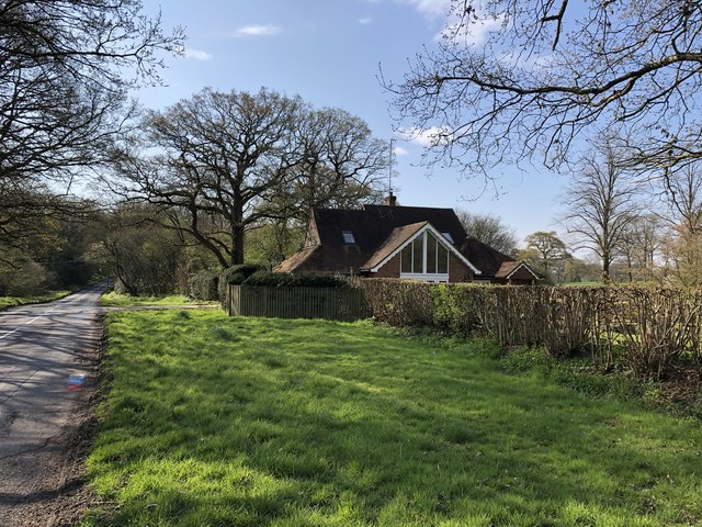
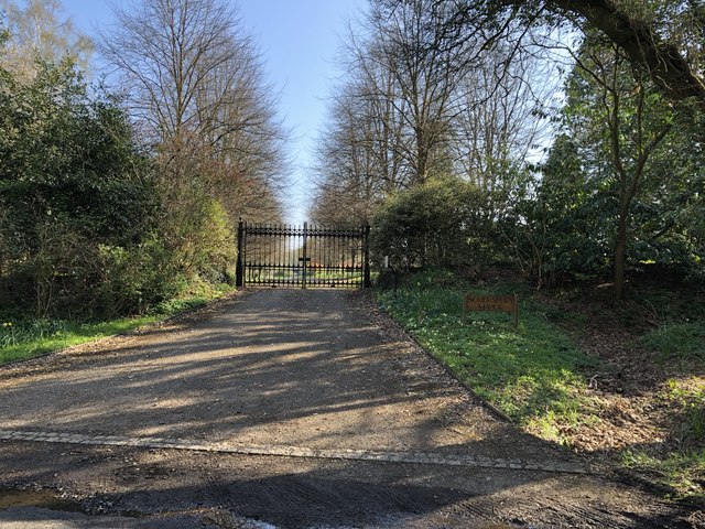
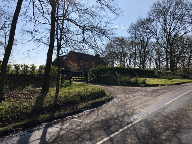
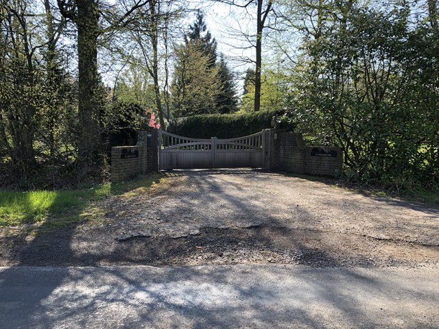
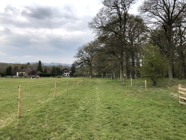
Goldings Copse is a picturesque wood located in the county of Surrey, England. Covering an area of approximately 100 acres, it is a beloved destination for nature enthusiasts and outdoor adventurers alike. The copse is situated near the village of Wonersh, just a few miles southwest of Guildford.
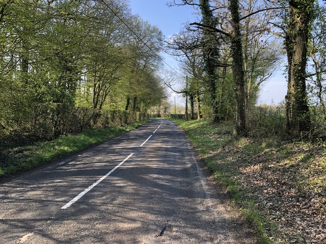
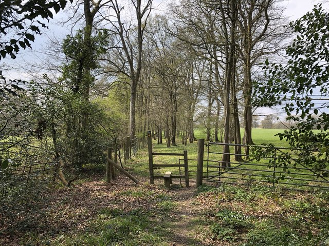
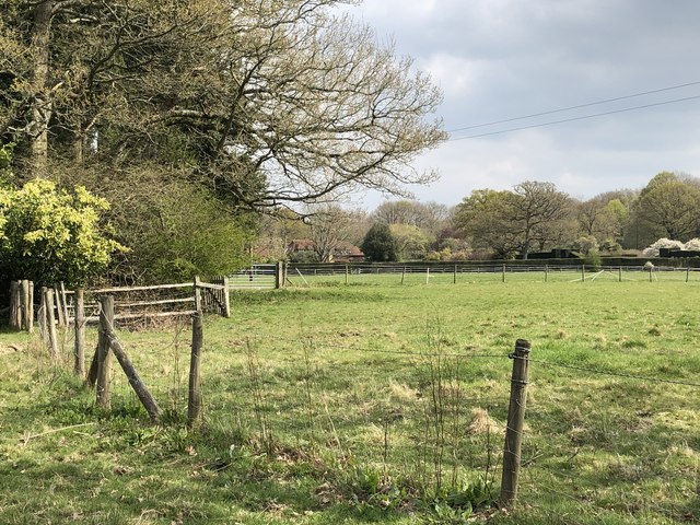
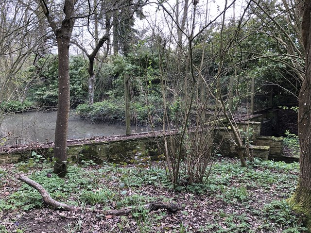
The woodland is characterized by its diverse array of tree species, including oak, beech, and birch. These tall, majestic trees create a dense canopy that provides shade and shelter for a variety of flora and fauna. The forest floor is carpeted with a rich carpet of bluebells in the spring, creating a stunning and vibrant display.
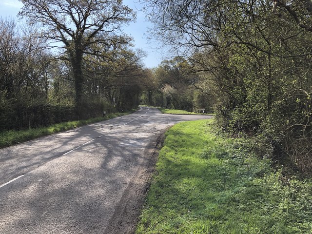
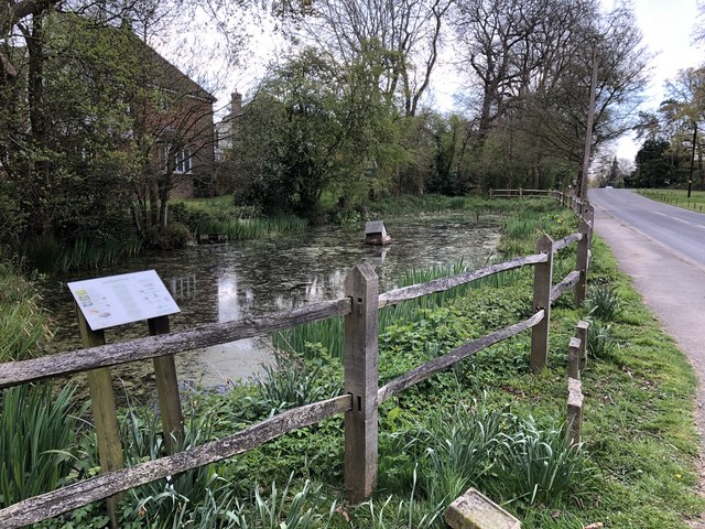
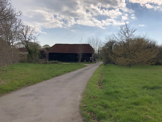
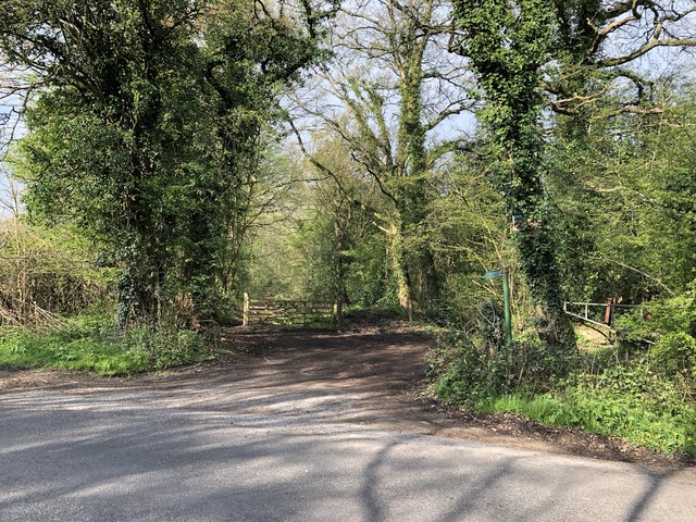
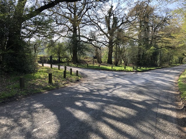
Several well-marked trails wind their way through Goldings Copse, allowing visitors to explore its beauty at their own pace. These trails offer a mix of terrains, from gently undulating paths to more challenging steep slopes. Along the way, visitors may encounter enchanting wildlife such as deer, squirrels, and a multitude of bird species.
The copse is also a popular spot for picnics and family outings, with several designated picnic areas scattered throughout the wood. These peaceful spots provide the perfect opportunity to relax and enjoy the tranquility of the surroundings.
Managed by the local council, Goldings Copse is well-maintained, ensuring a safe and enjoyable experience for visitors. Access to the copse is free, and there is ample parking available nearby.
Overall, Goldings Copse is a true gem of Surrey, offering a haven of natural beauty and a chance to immerse oneself in the wonders of the British countryside.
If you have any feedback on the listing, please let us know in the comments section below.
Goldings Copse Images
Images are sourced within 2km of 51.136891/-0.42457649 or Grid Reference TQ1038. Thanks to Geograph Open Source API. All images are credited.

Goldings Copse is located at Grid Ref: TQ1038 (Lat: 51.136891, Lng: -0.42457649)
Administrative County: Surrey
District: Waverley
Police Authority: Surrey
What 3 Words
///collides.raced.paying. Near Ewhurst, Surrey
Nearby Locations
Related Wikis

Smokejack Clay Pit
Smokejack Clay Pit is a 56-hectare (140-acre) geological Site of Special Scientific Interest east of Cranleigh in Surrey. It is a Geological Conservation...

Wallis Wood
Wallis Wood is a 14-hectare (35-acre) nature reserve south-east of Ewhurst in Surrey. It is managed by the Surrey Wildlife Trust.A stream runs through...

Ewhurst, Surrey
Ewhurst is a rural village and civil parish in the borough of Waverley in Surrey, England. It is located 8.3 miles (13.4 km) south-east of Guildford,...

Longhurst Lodge
Longhurst Lodge is a Grade II listed building in Cranleigh, Surrey, England. It is located on the former Baynards Park estate, about a quarter of a mile...

Baynards Park
Baynards Park is a 2,000 acres (810 ha) estate and site of a demolished country house with extant outbuildings, privately owned, in the south of the parishes...

Sayer's Croft LNR
Sayer's Croft is a 10.9-hectare (27-acre) Local Nature Reserve west of Ewhurst in Surrey. It is owned by the Sayer's Croft Environmental Education Trust...
Sayers Croft
Sayers Croft is a large outdoor 'learning camp' located in the village of Ewhurst, Surrey. It is one of the few remaining 'Camp schools' built by the National...

High Weald AONB
The High Weald Area of Outstanding Natural Beauty is in south-east England. Covering an area of 1,450 square kilometres (560 sq mi), it takes up parts...
Nearby Amenities
Located within 500m of 51.136891,-0.42457649Have you been to Goldings Copse?
Leave your review of Goldings Copse below (or comments, questions and feedback).