Digby Wood

Wood, Forest in Lincolnshire North Kesteven

England

Digby Wood

Farmhouse, Tower Farm
Farmhouse, Tower Farm Credit: JThomas

Digby Wood is a small woodland located in the county of Lincolnshire, England. Situated near the village of Digby, it covers an area of approximately 20 hectares. The woodland is part of the larger Digby Forest, which spans across various adjacent areas.

The woodland is predominantly composed of deciduous trees, including oak, beech, ash, and birch. These trees create a dense canopy, providing shade and shelter to a variety of flora and fauna. The forest floor is covered with a carpet of ferns, mosses, and wildflowers, adding to its natural beauty.

Digby Wood is known for its rich biodiversity. It is home to numerous species of birds, such as woodpeckers, owls, and warblers, making it a popular spot for birdwatching. Additionally, small mammals like squirrels, rabbits, and foxes can be found here, as well as reptiles and amphibians such as snakes and frogs.

The woodland offers a peaceful and tranquil environment, making it ideal for walking, hiking, and nature exploration. There are well-maintained trails that allow visitors to explore the different sections of the woodland. These paths also provide opportunities for photography and nature enthusiasts to capture the beauty of the surroundings.

Digby Wood is managed by the local forestry commission, ensuring its preservation and conservation for future generations to enjoy. The woodland is open to the public throughout the year, with no admission fee. It attracts both locals and tourists who seek a serene escape from the hustle and bustle of urban life.

If you have any feedback on the listing, please let us know in the comments section below.
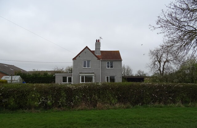
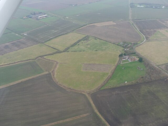
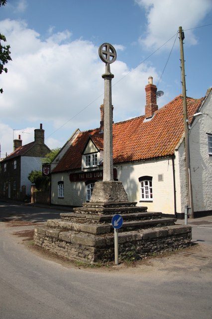
Digby Wood Images

Images are sourced within 2km of 53.078943/-0.35467793 or Grid Reference TF1054. Thanks to Geograph Open Source API. All images are credited.

Farmhouse, Tower Farm
Minor road near Tower Farm Towards North Kyme.
Minor road near Tower Farm
Towards North Kyme.
Dorrington Dike Looking south.
Dorrington Dike
Looking south.
Minor road, Dorrington Fen Towards North Kyme.
Minor road, Dorrington Fen
Towards North Kyme.
Overgrown drain, Dorrington Fen
Flat field and woodland, Dorrington Fen
Site of Catley Abbey (Ghilbertine): aerial 2022 (1) The Gilbertine Priory of St Mary at Catley was founded as a double house between 1148 and 1154 by Peter of Billinghay. It was dissolved in 1538. Traces remain of what appears to be the cloister garth with church to the north, with robber trenches outlining a smaller building to the west. In the south-western corner of the partly filled precinct moat is an irregular system of channels, one of which was probably a fishpond. 

The foundation proved locally popular, but the priory was never wealthy by comparison with other reformed monastic houses, and underwent economic decline from the 14th century. It was dissolved in 1538 and the site was later acquired by Robert Carre of Sleaford. Situated in the area formerly known as the Island of Catley, the monument is surrounded by low-lying, formerly waterlogged land. 

See: <span class="nowrap"><a title="https://www.heritagegateway.org.uk/Gateway/Results_Single.aspx?uid=MLI60709&resourceID=1006" rel="nofollow ugc noopener" href="https://www.heritagegateway.org.uk/Gateway/Results_Single.aspx?uid=MLI60709&resourceID=1006">Link</a><img style="margin-left:2px;" alt="External link" title="External link - shift click to open in new window" src="https://s1.geograph.org.uk/img/external.png" width="10" height="10"/></span>
Site of Catley Abbey (Ghilbertine): aerial 2022 (1)
The Gilbertine Priory of St Mary at Catley was founded as a double house between 1148 and 1154 by Peter of Billinghay. It was dissolved in 1538. Traces remain of what appears to be the cloister garth with church to the north, with robber trenches outlining a smaller building to the west. In the south-western corner of the partly filled precinct moat is an irregular system of channels, one of which was probably a fishpond. The foundation proved locally popular, but the priory was never wealthy by comparison with other reformed monastic houses, and underwent economic decline from the 14th century. It was dissolved in 1538 and the site was later acquired by Robert Carre of Sleaford. Situated in the area formerly known as the Island of Catley, the monument is surrounded by low-lying, formerly waterlogged land. See: LinkExternal link
Site of Catley Abbey (Ghilbertine): aerial 2022 (2) The Gilbertine Priory of St Mary at Catley was founded as a double house between 1148 and 1154 by Peter of Billinghay. It was dissolved in 1538. Traces remain of what appears to be the cloister garth with church to the north, with robber trenches outlining a smaller building to the west. In the south-western corner of the partly filled precinct moat is an irregular system of channels, one of which was probably a fishpond. 

The foundation proved locally popular, but the priory was never wealthy by comparison with other reformed monastic houses, and underwent economic decline from the 14th century. It was dissolved in 1538 and the site was later acquired by Robert Carre of Sleaford. Situated in the area formerly known as the Island of Catley, the monument is surrounded by low-lying, formerly waterlogged land. 

See: <span class="nowrap"><a title="https://www.heritagegateway.org.uk/Gateway/Results_Single.aspx?uid=MLI60709&resourceID=1006" rel="nofollow ugc noopener" href="https://www.heritagegateway.org.uk/Gateway/Results_Single.aspx?uid=MLI60709&resourceID=1006">Link</a><img style="margin-left:2px;" alt="External link" title="External link - shift click to open in new window" src="https://s1.geograph.org.uk/img/external.png" width="10" height="10"/></span>
Site of Catley Abbey (Ghilbertine): aerial 2022 (2)
The Gilbertine Priory of St Mary at Catley was founded as a double house between 1148 and 1154 by Peter of Billinghay. It was dissolved in 1538. Traces remain of what appears to be the cloister garth with church to the north, with robber trenches outlining a smaller building to the west. In the south-western corner of the partly filled precinct moat is an irregular system of channels, one of which was probably a fishpond. The foundation proved locally popular, but the priory was never wealthy by comparison with other reformed monastic houses, and underwent economic decline from the 14th century. It was dissolved in 1538 and the site was later acquired by Robert Carre of Sleaford. Situated in the area formerly known as the Island of Catley, the monument is surrounded by low-lying, formerly waterlogged land. See: LinkExternal link
Site of Catley Abbey (Ghilbertine): aerial 2022 (3) The Gilbertine Priory of St Mary at Catley was founded as a double house between 1148 and 1154 by Peter of Billinghay. It was dissolved in 1538. Traces remain of what appears to be the cloister garth with church to the north, with robber trenches outlining a smaller building to the west. In the south-western corner of the partly filled precinct moat is an irregular system of channels, one of which was probably a fishpond. 

The foundation proved locally popular, but the priory was never wealthy by comparison with other reformed monastic houses, and underwent economic decline from the 14th century. It was dissolved in 1538 and the site was later acquired by Robert Carre of Sleaford. Situated in the area formerly known as the Island of Catley, the monument is surrounded by low-lying, formerly waterlogged land. 

See: <span class="nowrap"><a title="https://www.heritagegateway.org.uk/Gateway/Results_Single.aspx?uid=MLI60709&resourceID=1006" rel="nofollow ugc noopener" href="https://www.heritagegateway.org.uk/Gateway/Results_Single.aspx?uid=MLI60709&resourceID=1006">Link</a><img style="margin-left:2px;" alt="External link" title="External link - shift click to open in new window" src="https://s1.geograph.org.uk/img/external.png" width="10" height="10"/></span>
Site of Catley Abbey (Ghilbertine): aerial 2022 (3)
The Gilbertine Priory of St Mary at Catley was founded as a double house between 1148 and 1154 by Peter of Billinghay. It was dissolved in 1538. Traces remain of what appears to be the cloister garth with church to the north, with robber trenches outlining a smaller building to the west. In the south-western corner of the partly filled precinct moat is an irregular system of channels, one of which was probably a fishpond. The foundation proved locally popular, but the priory was never wealthy by comparison with other reformed monastic houses, and underwent economic decline from the 14th century. It was dissolved in 1538 and the site was later acquired by Robert Carre of Sleaford. Situated in the area formerly known as the Island of Catley, the monument is surrounded by low-lying, formerly waterlogged land. See: LinkExternal link
Rowston Grange, west of Walcott: aerial 2022
Drain near Poplar Far, Digby Fen
Digby Beck Far from its natural condition. Prior to drainage work Digby Beck would have wandered across this landscape and probably never came anywhere near this point.
Digby Beck
Far from its natural condition. Prior to drainage work Digby Beck would have wandered across this landscape and probably never came anywhere near this point.
Stubble field towards Digby Beck
Silos near Digby Beck
Silos and farm building East of Digby.
Silos and farm building
East of Digby.
Minor road towards Digby  Heading south west.
Minor road towards Digby
Heading south west.
Railway towards Lincoln Looking north.
Railway towards Lincoln
Looking north.
Stubble field east of Digby
Show me another place!

Digby Wood is located at Grid Ref: TF1054 (Lat: 53.078943, Lng: -0.35467793)

Administrative County: Lincolnshire

District: North Kesteven

Police Authority: Lincolnshire

What 3 Words

///learning.replace.flitting. Near Ruskington, Lincolnshire

Nearby Locations

Digby Wood

Related Wikis

Digby railway station

Digby railway station was a railway station in Digby, Lincolnshire, which was open between 1882 and 1961. == History == The railway line between Sleaford...

Catley Priory

Catley Priory was a monastic house in Walcott, Lincolnshire, England. The Gilbertine priory of Saint Mary, Catley, was founded as a double house for...

North Ings Farm Museum

The North Ings Farm Museum is a working farm museum containing a 2 ft (610 mm) narrow gauge railway, running on a circuit of 1⁄4 mile (0.40 km). It is...

Digby, Lincolnshire

Digby is a small village and civil parish in the district of North Kesteven, Lincolnshire, England. The village is in the vale of the Digby Beck watercourse...

Rowston

Rowston is a village and civil parish in the North Kesteven district of Lincolnshire, England, situated approximately 6 miles (10 km) north from the town...

Dorrington, Lincolnshire

Dorrington is a village and civil parish in the North Kesteven district of Lincolnshire, England. It is situated 1.2 miles (2 km) both south from Digby...

Thorpe Tilney

Thorpe Tilney is a hamlet in the civil parish of Timberland in the district of North Kesteven, in the county of Lincolnshire, England. The hamlet is located...

Walcott, Lincolnshire

Walcott is a small village and civil parish in the North Kesteven district of Lincolnshire, England. The population of the civil parish at the 2011 census...

Have you been to Digby Wood?

Leave your review of Digby Wood below (or comments, questions and feedback).