Fowlers Copse
Wood, Forest in Sussex Horsham
England
Fowlers Copse
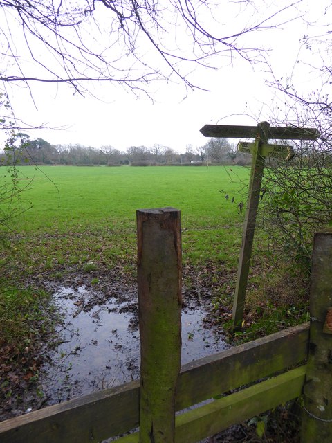
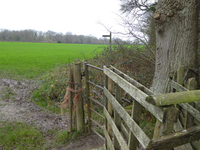
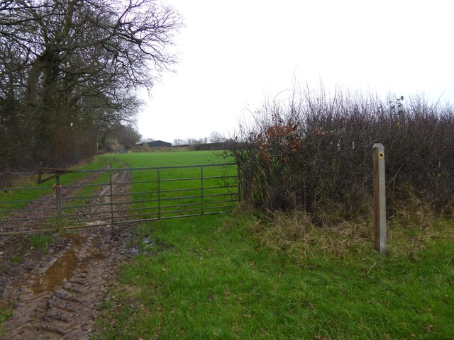
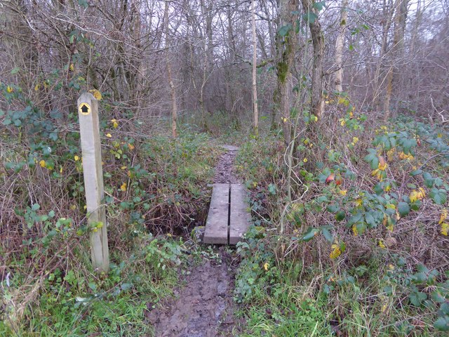
Fowlers Copse is a captivating wood located in the county of Sussex, England. It spans an area of approximately 50 acres and is renowned for its stunning natural beauty and diverse ecosystem. Situated on the outskirts of a small village, Fowlers Copse offers a serene and secluded retreat from the hustle and bustle of everyday life.
The wood is predominantly composed of native tree species, including oak, ash, and beech, which create a dense and lush canopy. These majestic trees provide shelter and support for a plethora of wildlife, making Fowlers Copse a haven for nature enthusiasts and photographers alike.
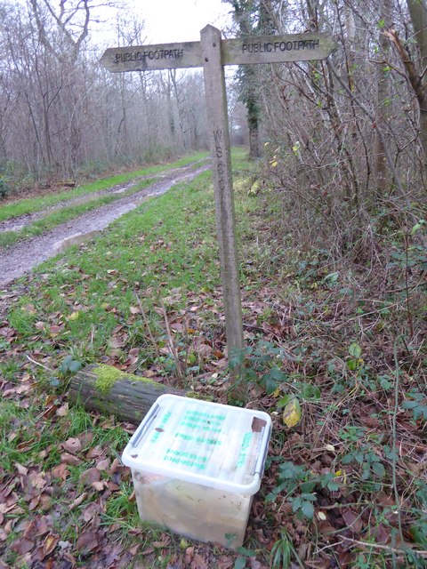
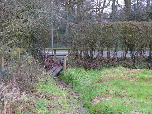
As one ventures deeper into the wood, an enchanting network of winding footpaths reveals itself, inviting visitors to explore and immerse themselves in the woodland's charm. The pathways are well-maintained, ensuring ease of access for walkers, joggers, and families with young children.
Fowlers Copse is not only visually captivating, but it also offers a symphony of natural sounds. The chirping of birds, rustling of leaves, and the occasional scurrying of small mammals create a soothing and tranquil atmosphere, further enhancing the experience of being surrounded by nature.
In addition to its natural beauty, Fowlers Copse boasts a rich cultural heritage. It is believed that the wood has been present for centuries, and remnants of old stone walls and ruins can still be found, hinting at its historical significance.
Overall, Fowlers Copse is a hidden gem in Sussex, offering a harmonious blend of natural wonders and historical intrigue. Whether one seeks solace in nature or wishes to embark on an adventure, this wood provides an idyllic setting for all to enjoy.
If you have any feedback on the listing, please let us know in the comments section below.
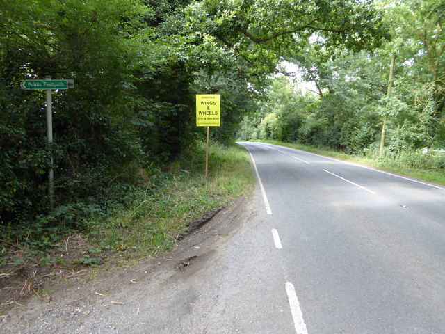
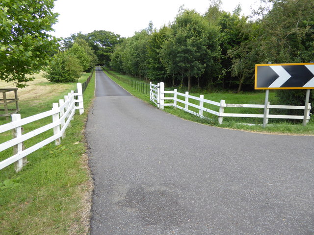
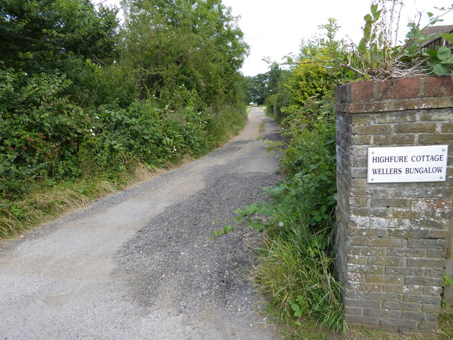
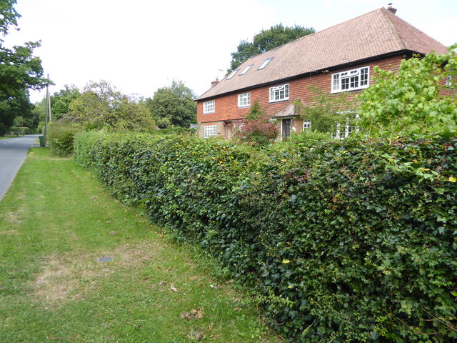
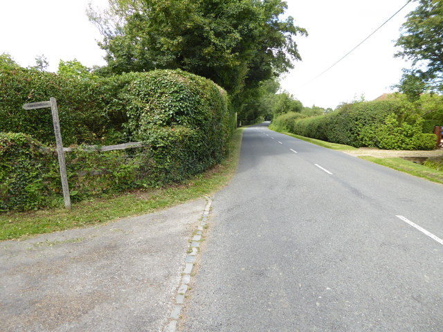
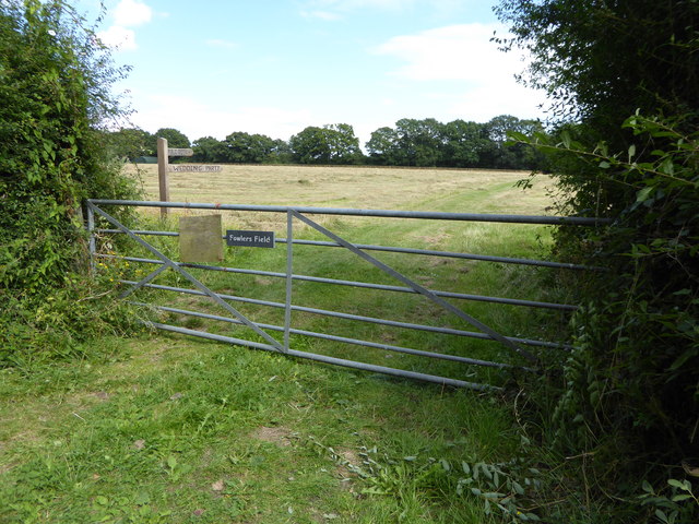
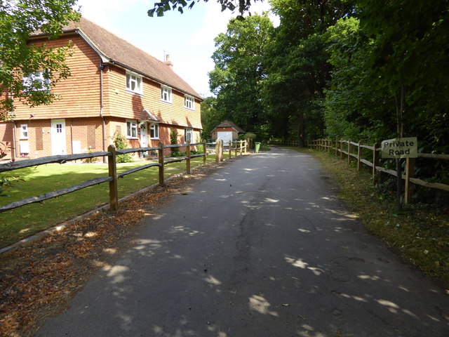
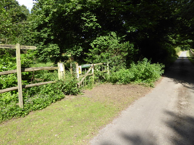
Fowlers Copse Images
Images are sourced within 2km of 51.003972/-0.42888347 or Grid Reference TQ1023. Thanks to Geograph Open Source API. All images are credited.


Fowlers Copse is located at Grid Ref: TQ1023 (Lat: 51.003972, Lng: -0.42888347)
Administrative County: West Sussex
District: Horsham
Police Authority: Sussex
What 3 Words
///waltzed.footsteps.puddles. Near Billingshurst, West Sussex
Nearby Locations
Related Wikis

Coneyhurst
Coneyhurst is a hamlet in the Horsham District of West Sussex, England. It lies on the A272 road 1.6 miles (2.5 km) southeast of Billingshurst (where the...

Coneyhurst Cutting
Coneyhurst Cutting is a 0.2-hectare (0.49-acre) geological Site of Special Scientific Interest south-east of Billingshurst in West Sussex. It is a Geological...

Parson's Brook
Parson's Brook is a minor river (brook) located in the Horsham District of West Sussex, England. It is a tributary to the River Adur. == Course == The...

Billingshurst (electoral division)
Billingshurst is an electoral division of West Sussex in the United Kingdom and returns one member to sit on West Sussex County Council. == Extent == The...

Billingshurst railway station
Billingshurst Railway Station serves the market town of Billingshurst, in West Sussex, England. It is on the Arun Valley Line 44 miles 71 chains (72.2...
Coolham
Coolham is a small village in the civil parish of Shipley and the Horsham District of West Sussex, England. It is located at the crossroads of the A272...

The Weald School
The Weald School is a coeducational secondary school and sixth form. It caters for around 1,700 pupils in years 7 to 13, including over 300 in its sixth...

A29 road
The A29 is a main road in England in Surrey and chiefly in West Sussex that runs for 34.4 miles (55.4 km). == Route == The road starts at the Beare Green...
Nearby Amenities
Located within 500m of 51.003972,-0.42888347Have you been to Fowlers Copse?
Leave your review of Fowlers Copse below (or comments, questions and feedback).