Crispins Copse
Wood, Forest in Lincolnshire North Kesteven
England
Crispins Copse
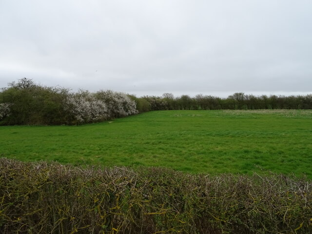
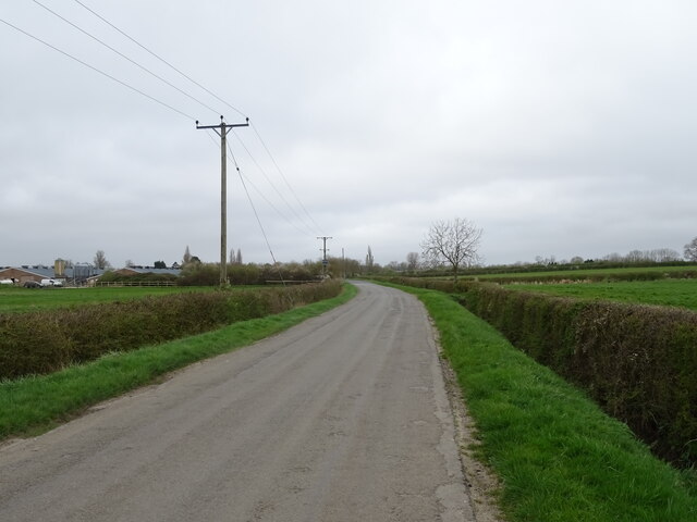
Crispins Copse is a beautiful woodland located in the county of Lincolnshire, England. Covering an area of approximately 50 acres, it is a diverse and thriving forest that offers a tranquil escape from the bustling city life. The copse is situated on the outskirts of a small village, surrounded by rolling hills and picturesque countryside.
The woodland is primarily composed of a mixture of deciduous and coniferous trees, creating a rich and varied landscape. Majestic oak, beech, and ash trees tower above, providing a dense canopy that filters sunlight and casts a soothing shade over the forest floor. Interspersed among them are evergreen pines and spruces, adding a touch of color and texture to the forest.
Crispins Copse is known for its abundant wildlife. The forest is home to numerous bird species, including woodpeckers, owls, and various songbirds. In the spring, the air is filled with the melodious chirping of these feathered residents. Squirrels scurry among the branches, while rabbits and foxes can occasionally be spotted darting between the trees.
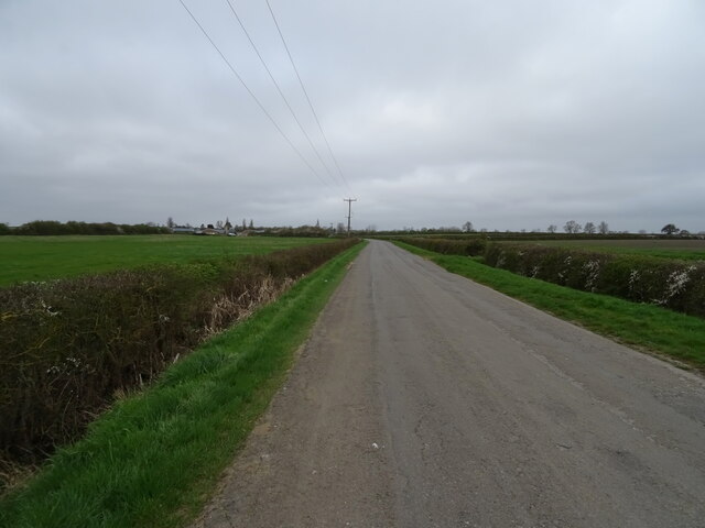
The copse also boasts a network of walking trails, allowing visitors to explore its natural wonders at their own pace. These trails wind through the forest, offering glimpses of enchanting wildflowers, ferns, and mosses that carpet the forest floor. It is a popular destination for nature enthusiasts, hikers, and families seeking a peaceful retreat in the heart of Lincolnshire.
Crispins Copse is a true gem, a sanctuary of natural beauty and tranquility that continues to captivate all who venture into its depths.
If you have any feedback on the listing, please let us know in the comments section below.
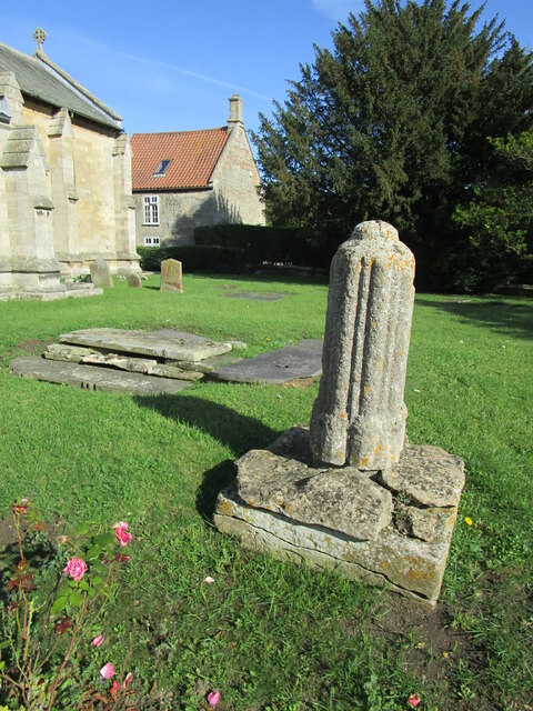
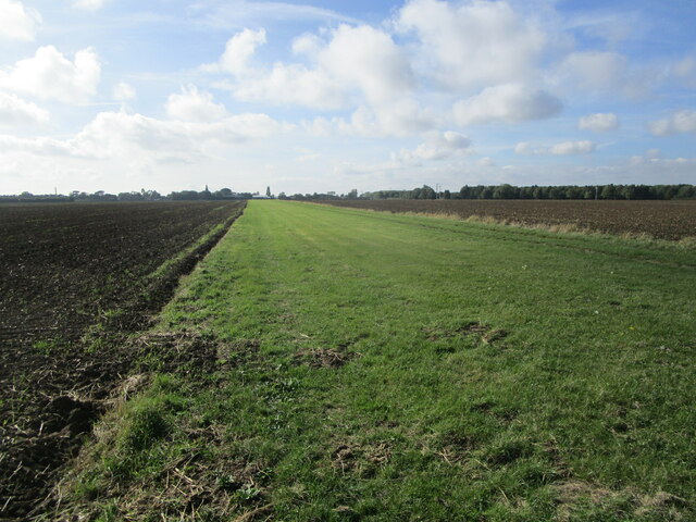
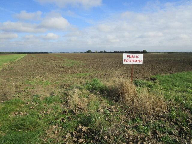
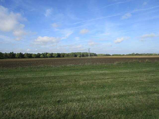
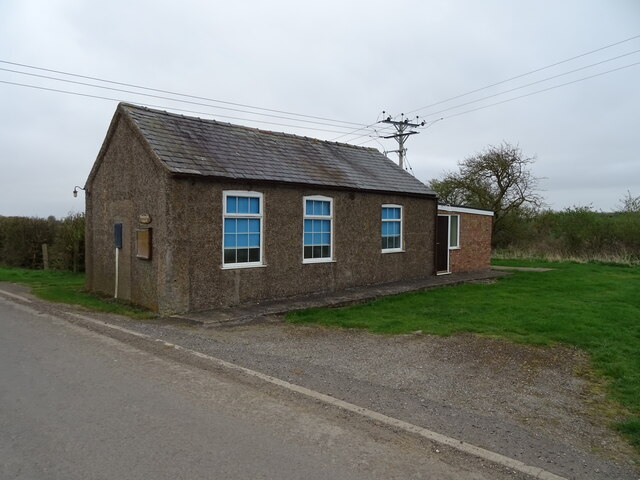
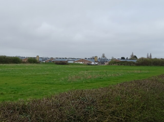
Crispins Copse Images
Images are sourced within 2km of 53.039178/-0.35583435 or Grid Reference TF1050. Thanks to Geograph Open Source API. All images are credited.


Crispins Copse is located at Grid Ref: TF1050 (Lat: 53.039178, Lng: -0.35583435)
Administrative County: Lincolnshire
District: North Kesteven
Police Authority: Lincolnshire
What 3 Words
///trash.hiring.flopping. Near Ruskington, Lincolnshire
Nearby Locations
Related Wikis
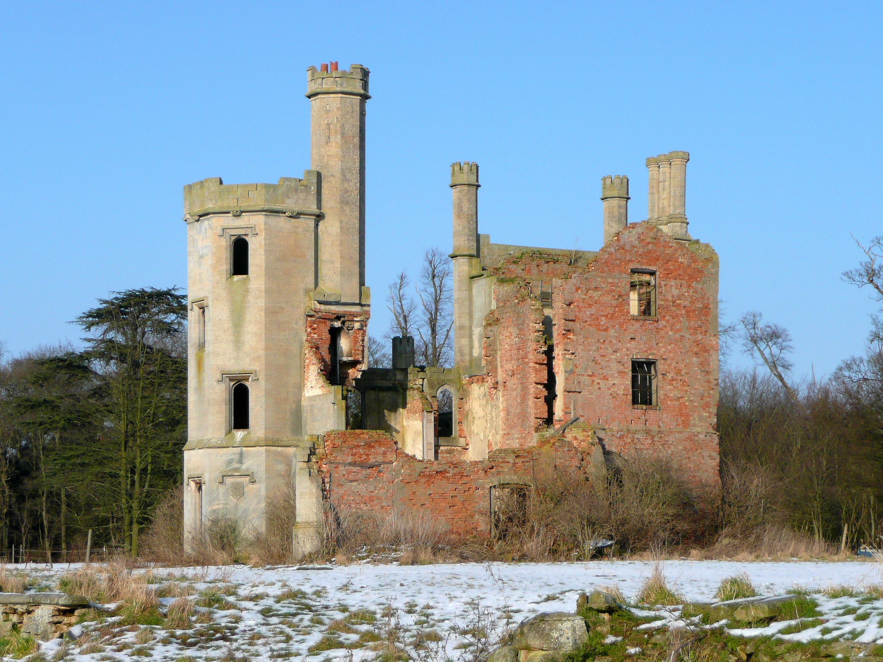
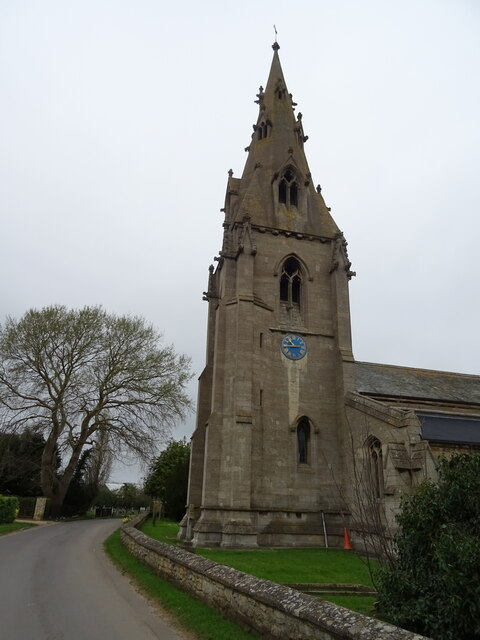
Haverholme Priory
Haverholme Priory was a monastery in Lincolnshire, England. Its remains are situated 4 miles (6 km) north-east of the town of Sleaford and less than 1...

Haverholme
Haverholme is a hamlet and site of Haverholme Priory in the North Kesteven district of Lincolnshire, England. It is situated about 4 miles (6 km) north...

RAF Anwick
Royal Air Force Anwick or more simply RAF Anwick is a former Second World War faux Royal Air Force decoy station near the village of Anwick, 21.3 mi (34...

Anwick
Anwick is a small village and civil parish in the North Kesteven district of Lincolnshire, England. The population of the civil parish at the 2011 census...

Ruskington railway station
Ruskington railway station serves the village of Ruskington in Lincolnshire, England. It opened in 1882 as part of the Great Northern and Great Eastern...

Sleaford Rural District
Sleaford was a rural district in Lincolnshire, Parts of Kesteven, England, from 1894 to 1931. It was created by the Local Government Act 1894 based on...
Deanery of Lafford
The Deanery of Lafford is an historic deanery in the Anglican Diocese of Lincoln in England. Located around the market town of Sleaford, it covers an area...
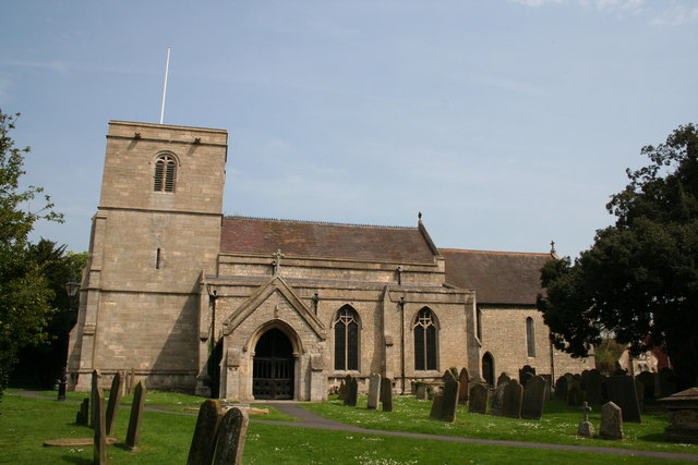
Ruskington
Ruskington is a large village and civil parish in the North Kesteven district of Lincolnshire, England, located approximately 4 miles (6.4 km) north of...
Nearby Amenities
Located within 500m of 53.039178,-0.35583435Have you been to Crispins Copse?
Leave your review of Crispins Copse below (or comments, questions and feedback).