Coneyhurst
Settlement in Sussex Horsham
England
Coneyhurst
Coneyhurst is a small village located in the county of Sussex, England. Situated in the southern part of the county, it is nestled amidst the picturesque countryside, surrounded by rolling hills and lush green fields. The village is part of the Horsham district and lies approximately 7 miles northwest of the town of Horsham.
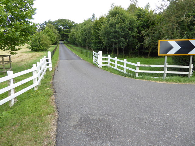
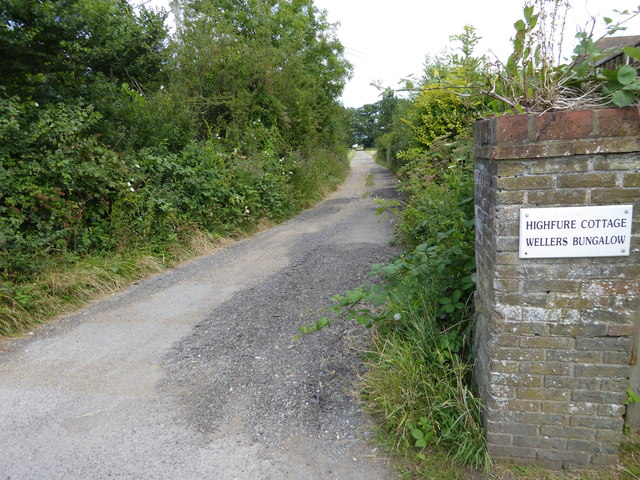
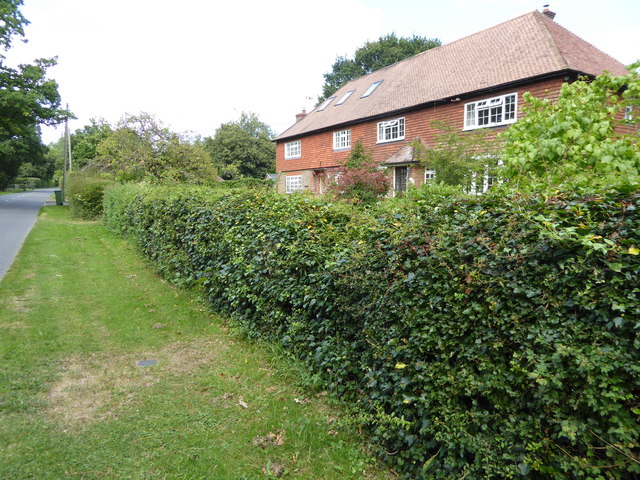
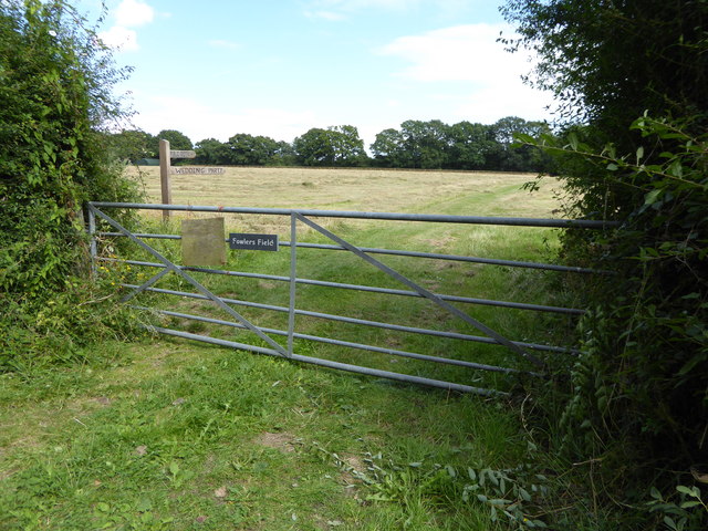
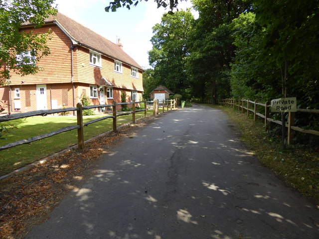
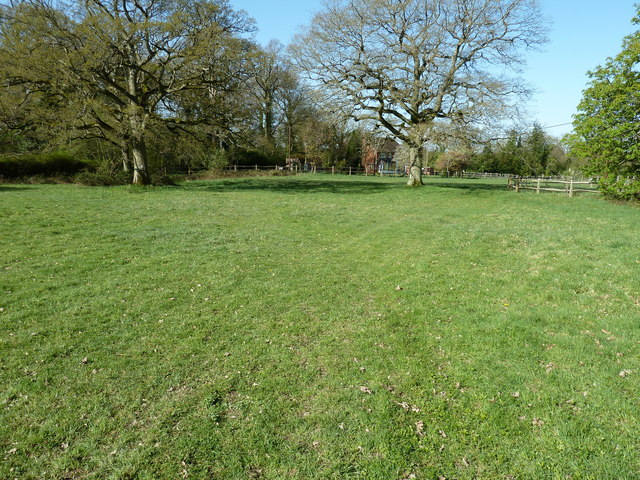
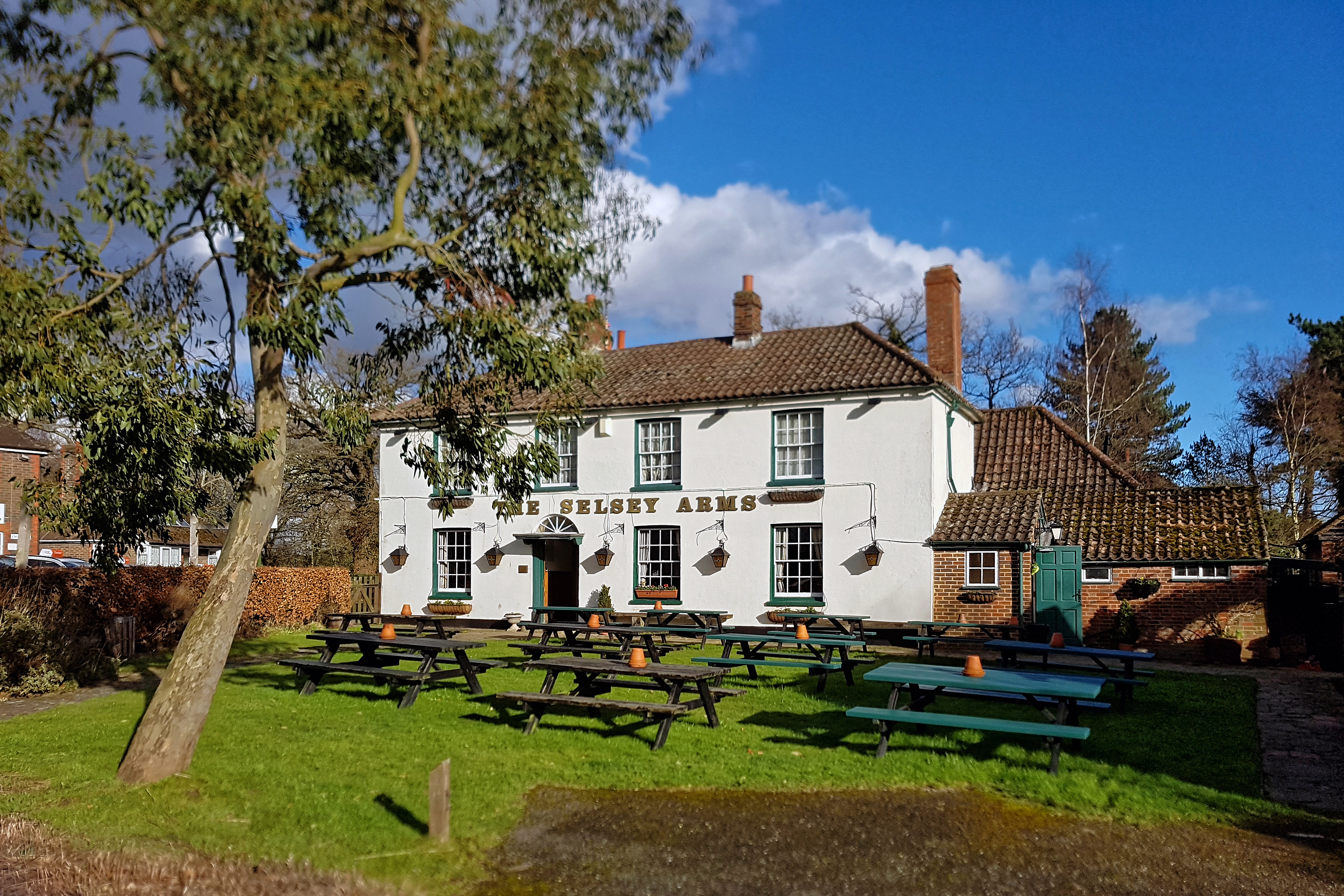
Coneyhurst is known for its charming rural character and tranquil atmosphere. The village is primarily residential, consisting of a scattering of traditional cottages and houses, many of which boast stunning architectural features and date back several centuries. The area is popular among those seeking a peaceful and idyllic rural lifestyle.
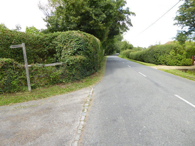
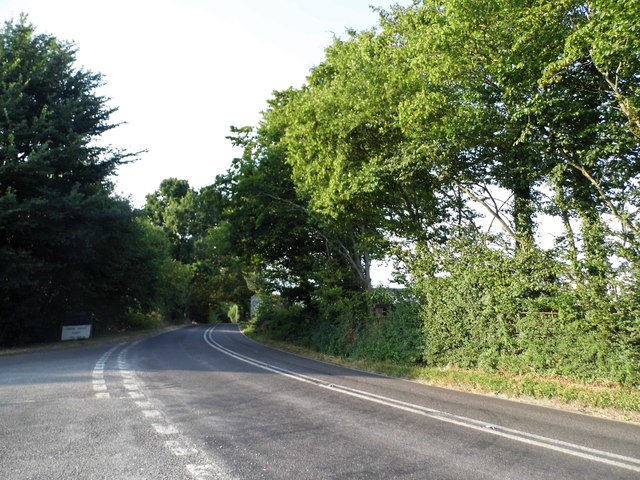
Although small in size, Coneyhurst is well-connected to the surrounding towns and cities. The nearby A29 road provides easy access to Horsham, while the A264 road connects the village to Crawley and Gatwick Airport. The beautiful South Downs National Park is also within reach, offering opportunities for outdoor pursuits such as hiking, cycling, and horse riding.
While Coneyhurst does not have its own amenities, residents can find essential services and facilities in the nearby towns of Horsham and Crawley. These include schools, healthcare centers, supermarkets, and a range of leisure and recreational activities.
Overall, Coneyhurst offers a peaceful and picturesque setting for those looking to escape the hustle and bustle of city life, while still enjoying easy access to nearby towns and amenities.
If you have any feedback on the listing, please let us know in the comments section below.
Coneyhurst Images
Images are sourced within 2km of 51.003985/-0.425193 or Grid Reference TQ1023. Thanks to Geograph Open Source API. All images are credited.


Coneyhurst is located at Grid Ref: TQ1023 (Lat: 51.003985, Lng: -0.425193)
Administrative County: West Sussex
District: Horsham
Police Authority: Sussex
What 3 Words
///rotation.examiner.booklets. Near Billingshurst, West Sussex
Nearby Locations
Related Wikis

Coneyhurst
Coneyhurst is a hamlet in the Horsham District of West Sussex, England. It lies on the A272 road 1.6 miles (2.5 km) southeast of Billingshurst (where the...

Coneyhurst Cutting
Coneyhurst Cutting is a 0.2-hectare (0.49-acre) geological Site of Special Scientific Interest south-east of Billingshurst in West Sussex. It is a Geological...

Parson's Brook
Parson's Brook is a minor river (brook) located in the Horsham District of West Sussex, England. It is a tributary to the River Adur. == Course == The...

Billingshurst (electoral division)
Billingshurst is an electoral division of West Sussex in the United Kingdom and returns one member to sit on West Sussex County Council. == Extent == The...
Coolham
Coolham is a small village in the civil parish of Shipley and the Horsham District of West Sussex, England. It is located at the crossroads of the A272...

Billingshurst railway station
Billingshurst Railway Station serves the market town of Billingshurst, in West Sussex, England. It is on the Arun Valley Line 44 miles 71 chains (72.2...

RAF Coolham
Royal Air Force Coolham or more simply RAF Coolham is a former Royal Air Force Advanced Landing Ground located in West Sussex, England. The following units...

Brooks Green
Brooks Green is a hamlet in the Shipley civil parish of the Horsham District of West Sussex, England. It is in the north-west of the parish, approximately...
Nearby Amenities
Located within 500m of 51.003985,-0.425193Have you been to Coneyhurst?
Leave your review of Coneyhurst below (or comments, questions and feedback).