The Common
Wood, Forest in Northamptonshire
England
The Common

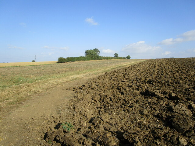
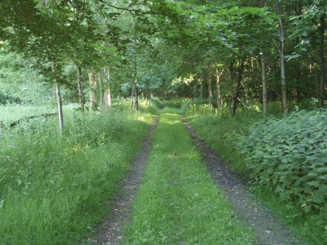
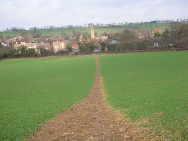
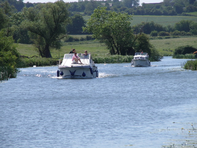
The Common, located in Northamptonshire, is a picturesque woodland area known for its natural beauty and serene atmosphere. Covering an extensive area, the Common is home to a diverse range of flora and fauna, making it a popular spot for nature enthusiasts and outdoor lovers.
The woodland is primarily composed of native deciduous trees, including oak, beech, and birch. These trees create a dense canopy, providing shade and shelter for the various animals that inhabit the area. The forest floor is covered in a rich layer of leaf litter, creating a natural habitat for small mammals, insects, and fungi.
Walking trails crisscross the Common, allowing visitors to explore the woodland at their leisure. These trails offer stunning views of the surrounding landscape and provide an opportunity to spot wildlife such as deer, foxes, and a wide variety of bird species.
The Common is also home to a number of historical landmarks, including ancient burial mounds and remnants of old settlements. These archaeological sites offer a glimpse into the area's rich history and provide an opportunity for visitors to learn about the region's past.
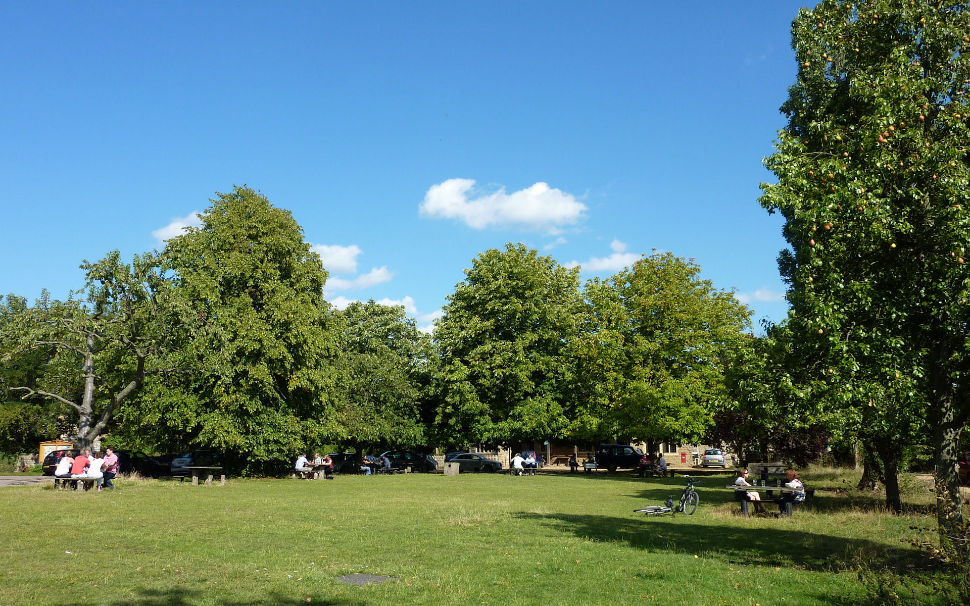
In addition to its natural and historical attractions, the Common features several amenities for visitors. Picnic areas, benches, and information boards are scattered throughout the woodland, providing a comfortable and informative experience for all. The Common is easily accessible by car and public transportation, making it a popular destination for day trips and weekend getaways.
If you have any feedback on the listing, please let us know in the comments section below.
The Common Images
Images are sourced within 2km of 52.477616/-0.38948155 or Grid Reference TL0987. Thanks to Geograph Open Source API. All images are credited.


The Common is located at Grid Ref: TL0987 (Lat: 52.477616, Lng: -0.38948155)
Unitary Authority: North Northamptonshire
Police Authority: Northamptonshire
What 3 Words
///districts.submerge.scars. Near Oundle, Northamptonshire
Nearby Locations
Related Wikis
Ashton Wold
Ashton Wold is a 54.0-hectare (133-acre) biological Site of Special Scientific Interest (SSSI) east of the market town Oundle in Northamptonshire.It is...
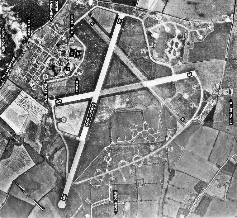
RAF Polebrook
Royal Air Force Polebrook or more simply RAF Polebrook is a former Royal Air Force station located 3.5 miles (5.6 km) east-south-east of Oundle, at Polebrook...
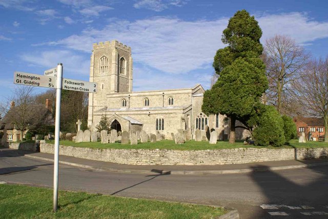
St Peter's Church, Lutton
St Peter's Church, Lutton is a Grade I Listed medieval church, which stands on the highest point in the village of Lutton, Northamptonshire, England. It...
Lutton, Northamptonshire
Lutton is a village and civil parish in North Northamptonshire, England. The 2011 Census recorded its parish population as 186.The villages name means...
Polebrook
Polebrook is a village in Northamptonshire, England. The population (including Armston) at the 2011 census was 478. == History == There is evidence that...

Hemington, Northamptonshire
Hemington is a village and civil parish in North Northamptonshire, England. The parish population (including the neighbouring small parishes of Luddington...
Armston
Armston is a hamlet and former civil parish, now in the parish of Polebrook, in the North Northamptonshire district, in the ceremonial county of Northamptonshire...
Ashton, North Northamptonshire
Ashton is a village and civil parish about ¾ mile east of Oundle in the east of the English county of Northamptonshire forming part of the unitary authority...
Nearby Amenities
Located within 500m of 52.477616,-0.38948155Have you been to The Common?
Leave your review of The Common below (or comments, questions and feedback).