Leighton Gorse

Wood, Forest in Huntingdonshire Huntingdonshire

England

Leighton Gorse

The former Fox pub, next to the A14 near Brington
The former Fox pub, next to the A14 near Brington Credit: Christopher Hilton

The requested URL returned error: 429 Too Many Requests

If you have any feedback on the listing, please let us know in the comments section below.

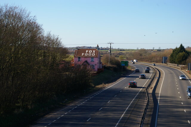
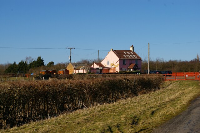
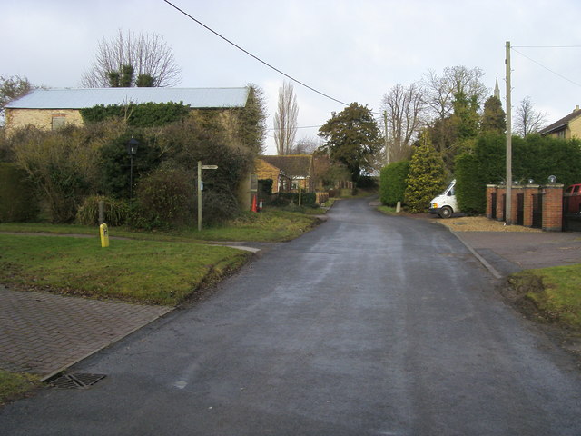
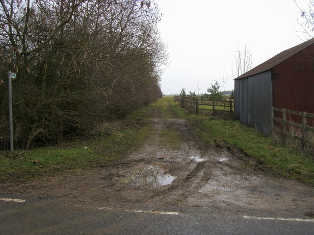
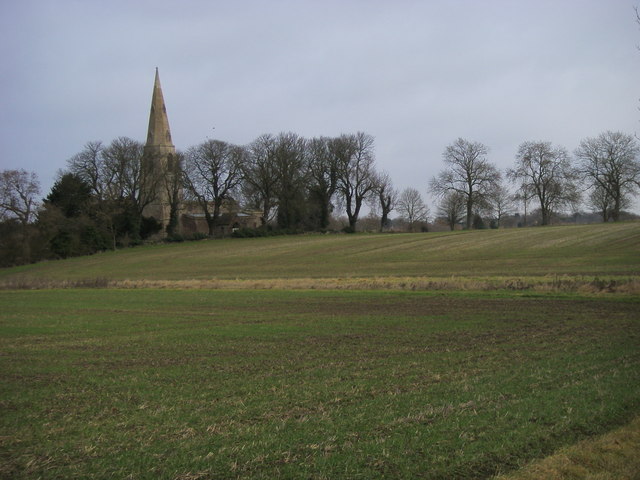
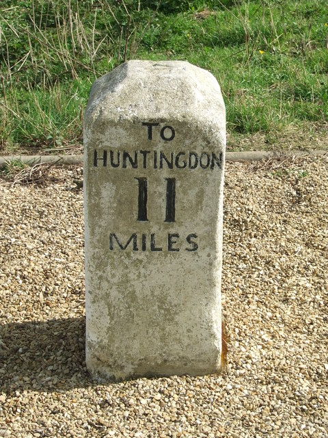
Leighton Gorse Images

Images are sourced within 2km of 52.365366/-0.39361087 or Grid Reference TL0975. Thanks to Geograph Open Source API. All images are credited.

The former Fox pub, next to the A14 near Brington
Looking east along the A14 from the bridge at Brington
The former Fox pub, next to the A14 near Brington Seen from the truncated stub of Fox Road, which used to lead to a crossing of the A14 but is now superseded by a new road and bridge.
The former Fox pub, next to the A14 near Brington
Seen from the truncated stub of Fox Road, which used to lead to a crossing of the A14 but is now superseded by a new road and bridge.
Looking west near the former Fox pub Seen from the stub of Fox Road that leads to the former pub and formerly to a crossing of the road that is now the A14.
Looking west near the former Fox pub
Seen from the stub of Fox Road that leads to the former pub and formerly to a crossing of the road that is now the A14.
Fox Road Interchange, Brington Connecting to the A14
Fox Road Interchange, Brington
Connecting to the A14
Old Milestone by the A14 Carved stone post by the A14, in parish of CATWORTH (HUNTINGDONSHIRE District), on slip road, near junction with B660, on the verge (DC reinstated close to original place), on Northwest side of road. Huntingdon stone, erected by the Market Harborough & Brampton turnpike trust in the 19th century. An earlier photograph can be found here <a title="https://www.geograph.org.uk/photo/6038244" href="https://www.geograph.org.uk/photo/6038244">Link</a>.

Inscription reads:-
: TO / THRAPSTON / 7 / MILES : : TO / HUNTINGDON / 10 / MILES : 

Milestone Society National ID: HU_HUTH10.
Old Milestone by the A14
Carved stone post by the A14, in parish of CATWORTH (HUNTINGDONSHIRE District), on slip road, near junction with B660, on the verge (DC reinstated close to original place), on Northwest side of road. Huntingdon stone, erected by the Market Harborough & Brampton turnpike trust in the 19th century. An earlier photograph can be found here Link. Inscription reads:- : TO / THRAPSTON / 7 / MILES : : TO / HUNTINGDON / 10 / MILES : Milestone Society National ID: HU_HUTH10.
The A14 Thrapston Road near Catworth The A14 is a major road which runs for 129 miles from the Port of Felixstowe to the Catthorpe Interchange, the junction of the M1 and M6 motorways near Rugby.

The route linking Rugby (and therefore the West Midlands and the north of England via the motorway network) to East Anglia and the ports of Felixstowe and Harwich is incredibly important and incredibly busy (Felixstowe is the UK's principal container port and the A14 is the road between Felixstowe and everywhere else) but it didn't exist in any coherent form until about 1992.

Prior to the current A14 the main route from Birmingham to the Haven ports followed the old A45 road via Coventry, Rugby, Northampton, St Neots, Cambridge and then through all the towns on the A14, from there to Ipswich where it ended on the A12 – not the fast route required for transporting goods across the country with the sudden rise in container shipping during the latter part of the twentieth century.

Most of the current A14 route is a collection of bits of dual carriageway acquired from other roads (most notably the A45) with occasional stretches of new road to bolt it all together. Because of its importance to the country’s economy, there are plans to upgrade it further.

Prior to its use for the current route the A14 designation had been used for a section of road between the A10 at Royston and the A1 at Alconbury following part of the route of the Roman road, Ermine Street, which is now mostly designated as the A1198. The only bit of the current A14 that follows that number's original route is the spur linking junction 23 to the A1.

<span class="nowrap"><a title="http://www.cbrd.co.uk/motorway/a14" rel="nofollow ugc noopener" href="http://www.cbrd.co.uk/motorway/a14">Link</a><img style="margin-left:2px;" alt="External link" title="External link - shift click to open in new window" src="https://s1.geograph.org.uk/img/external.png" width="10" height="10"/></span> Chris's British Road Directory
<span class="nowrap"><a title="http://en.wikipedia.org/wiki/A14_road_(England)" rel="nofollow ugc noopener" href="http://en.wikipedia.org/wiki/A14_road_(England)">Link</a><img style="margin-left:2px;" alt="External link" title="External link - shift click to open in new window" src="https://s1.geograph.org.uk/img/external.png" width="10" height="10"/></span>  Wikipedia
The A14 Thrapston Road near Catworth
The A14 is a major road which runs for 129 miles from the Port of Felixstowe to the Catthorpe Interchange, the junction of the M1 and M6 motorways near Rugby. The route linking Rugby (and therefore the West Midlands and the north of England via the motorway network) to East Anglia and the ports of Felixstowe and Harwich is incredibly important and incredibly busy (Felixstowe is the UK's principal container port and the A14 is the road between Felixstowe and everywhere else) but it didn't exist in any coherent form until about 1992. Prior to the current A14 the main route from Birmingham to the Haven ports followed the old A45 road via Coventry, Rugby, Northampton, St Neots, Cambridge and then through all the towns on the A14, from there to Ipswich where it ended on the A12 – not the fast route required for transporting goods across the country with the sudden rise in container shipping during the latter part of the twentieth century. Most of the current A14 route is a collection of bits of dual carriageway acquired from other roads (most notably the A45) with occasional stretches of new road to bolt it all together. Because of its importance to the country’s economy, there are plans to upgrade it further. Prior to its use for the current route the A14 designation had been used for a section of road between the A10 at Royston and the A1 at Alconbury following part of the route of the Roman road, Ermine Street, which is now mostly designated as the A1198. The only bit of the current A14 that follows that number's original route is the spur linking junction 23 to the A1. LinkExternal link Chris's British Road Directory LinkExternal link Wikipedia
A14 looking towards Thrapston Traffic thunders past a lay-by on the eastbound carriageway of the A14; in common with other lay-bys on this stretch an SOS telephone is provided.
A14 looking towards Thrapston
Traffic thunders past a lay-by on the eastbound carriageway of the A14; in common with other lay-bys on this stretch an SOS telephone is provided.
B660 at the A14 junction Fox Road B660 at the A14 junction
B660 at the A14 junction
Fox Road B660 at the A14 junction
Church Lane Brington Church Lane Brington by the footpath to Molesworth
Church Lane Brington
Church Lane Brington by the footpath to Molesworth
Bridleway by Glebe Farm From the road to Brington the bridleway by Glebe Farm
Bridleway by Glebe Farm
From the road to Brington the bridleway by Glebe Farm
St Swithin's church Old Weston From the B660 road looking to St Swithin's church Old Weston
St Swithin's church Old Weston
From the B660 road looking to St Swithin's church Old Weston
Old Milepost Old milepost near to Molesworth, Cambridgeshire for overall view see <a title="https://www.geograph.org.uk/photo/2880666" href="https://www.geograph.org.uk/photo/2880666">Link</a>
Old Milepost
Old milepost near to Molesworth, Cambridgeshire for overall view see Link
To Thrapston 6 Old milepost near to Easton, Cambridgeshire for close up view see <a title="https://www.geograph.org.uk/photo/2880648" href="https://www.geograph.org.uk/photo/2880648">Link</a>
To Thrapston 6
Old milepost near to Easton, Cambridgeshire for close up view see Link
Old Milepost Old milepost near to Brington, Cambridgeshire. The correct location would have been half a mile further east but must have been moved with the creation of the A.14. For overall view see <a title="https://www.geograph.org.uk/photo/2880795" href="https://www.geograph.org.uk/photo/2880795">Link</a>
Old Milepost
Old milepost near to Brington, Cambridgeshire. The correct location would have been half a mile further east but must have been moved with the creation of the A.14. For overall view see Link
To Thrapston 7 Old milepost near to Brington, Cambridgeshire. The correct location would have been half a mile further east but must have been moved with the creation of the A.14. For close up view see <a title="https://www.geograph.org.uk/photo/2880782" href="https://www.geograph.org.uk/photo/2880782">Link</a>
To Thrapston 7
Old milepost near to Brington, Cambridgeshire. The correct location would have been half a mile further east but must have been moved with the creation of the A.14. For close up view see Link
St Swithin's church, Old Weston
Show me another place!

Leighton Gorse is located at Grid Ref: TL0975 (Lat: 52.365366, Lng: -0.39361087)

Administrative County: Cambridgeshire

District: Huntingdonshire

Police Authority: Cambridgeshire

What 3 Words

///bracelet.sped.selling. Near Kimbolton, Cambridgeshire

Nearby Locations

Leighton Gorse

Related Wikis

Brington, Cambridgeshire

Brington is a village and former civil parish, now in the parish of Brington and Molesworth, in Cambridgeshire, England. Brington lies approximately 9...

RAF Molesworth

Royal Air Force Molesworth or more simply RAF Molesworth is a Royal Air Force station located near Molesworth, Cambridgeshire, England with a history dating...

Catworth

Catworth is a village and civil parish in Cambridgeshire, England. Catworth lies approximately 9 miles (14 km) west of Huntingdon. The civil parish covers...

Old Weston

Old Weston – in Huntingdonshire (now part of Cambridgeshire), England – is a village near Molesworth west of Huntingdon.In 1870–1872, John Wilson, who...

Nearby Amenities

Located within 500m of 52.365366,-0.39361087
Created By: Merkaartor 0.12
Lat/Long: 52.3648365/-0.3996115
Created By: Merkaartor 0.12
Lat/Long: 52.3666414/-0.3976374
Created By: Merkaartor 0.12
Lat/Long: 52.368778/-0.396323
Barrier: stile
Lat/Long: 52.3685959/-0.3965982
Barrier: stile
Lat/Long: 52.368478/-0.3963085
Power: pole
Lat/Long: 52.368949/-0.3951966
Power: pole
Lat/Long: 52.3693667/-0.3935604
Power: pole
Lat/Long: 52.3687967/-0.3980987
Power: pole
Lat/Long: 52.3688623/-0.3967737
The data included in this document is from www.openstreetmap.org. The data is made available under ODbL.

Have you been to Leighton Gorse?

Leave your review of Leighton Gorse below (or comments, questions and feedback).