Holman's Copse
Wood, Forest in Sussex Horsham
England
Holman's Copse

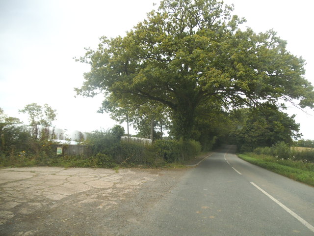
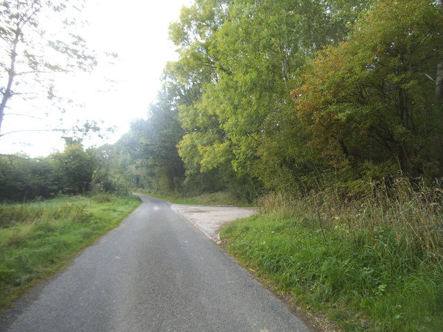
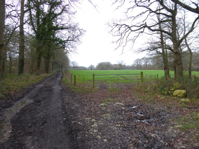
Holman's Copse is a picturesque woodland located in Sussex, England. Covering an area of approximately 50 acres, it is a haven of natural beauty and tranquility. The copse is situated in the heart of the South Downs National Park, surrounded by rolling hills and stunning countryside.
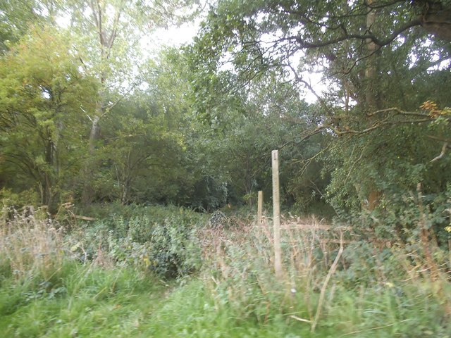
The woodland is predominantly made up of native broadleaf trees such as oak, beech, and ash, creating a diverse and rich ecosystem. These trees provide a canopy that filters the sunlight, casting dappled shadows on the forest floor. Underneath, a dense undergrowth of ferns, bluebells, and wildflowers adds to the enchanting atmosphere.
Holman's Copse is home to a variety of wildlife, including deer, foxes, and a wide range of bird species. Nature enthusiasts and birdwatchers can often spot woodpeckers, owls, and buzzards soaring above the treetops. The copse also supports a thriving population of small mammals, such as squirrels and rabbits.
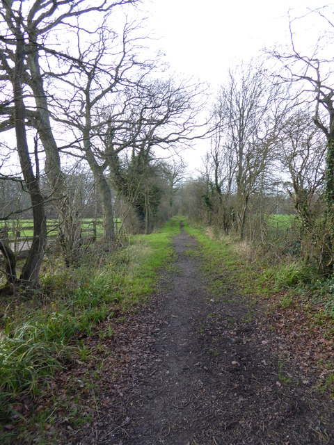
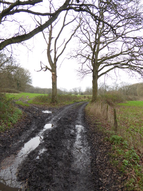
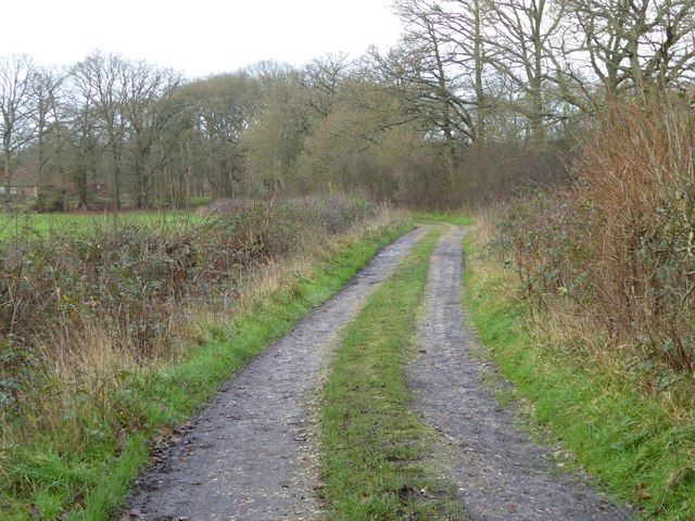
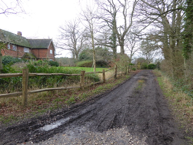
The woodland is crisscrossed by a network of well-maintained footpaths, offering visitors the opportunity to explore its enchanting surroundings. These paths lead to hidden glades, babbling brooks, and secluded picnic spots, providing a perfect setting for a day of outdoor recreation and relaxation.
Holman's Copse is not only a natural gem but also holds historical significance. It has been a part of the local landscape for centuries and has witnessed many changes throughout its existence. Today, it stands as a testament to the enduring beauty of Sussex's woodlands and continues to captivate visitors with its timeless charm.
If you have any feedback on the listing, please let us know in the comments section below.
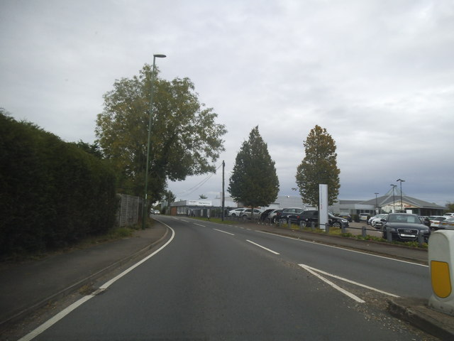
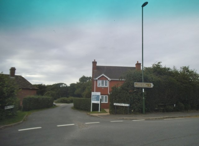
Holman's Copse Images
Images are sourced within 2km of 51.049833/-0.44074342 or Grid Reference TQ0928. Thanks to Geograph Open Source API. All images are credited.


Holman's Copse is located at Grid Ref: TQ0928 (Lat: 51.049833, Lng: -0.44074342)
Administrative County: West Sussex
District: Horsham
Police Authority: Sussex
What 3 Words
///quack.exit.sleepless. Near Billingshurst, West Sussex
Nearby Locations
Related Wikis

Five Oaks
Five Oaks is a large hamlet in the Horsham District of West Sussex, England. It lies about 1.7 miles (2.8 km) north of Billingshurst on the Roman road...

The Haven, West Sussex
The Haven is a rural hamlet in West Sussex, south east England located about 7 miles to the west of Horsham.The Haven is primarily an agricultural area...

Coppedhall Hanger
Coppedhall Hanger is a 0.6-hectare (1.5-acre) geological Site of Special Scientific Interest north of Billingshurst in West Sussex. It is a Geological...

Slinfold railway station
Slinfold railway station was on the Cranleigh Line and served the village of Slinfold in West Sussex. == History == The line had a single track and opened...

Billingshurst F.C.
Billingshurst Football Club is a football club based in Billingshurst, West Sussex, England. They are currently members of the Southern Combination Division...

Billingshurst
Billingshurst is a village and civil parish in the Horsham District of West Sussex, England. The village lies on the A29 road (the Roman Stane Street)...

Billingshurst Unitarian Chapel
Billingshurst Unitarian Chapel is a place of worship in Billingshurst in the English county of West Sussex. The cottage-like building was erected in 1754...

Slinfold
Slinfold is a village and civil parish in the Horsham District of West Sussex, England. == Geography == The village is almost 4 miles (6.4 km) west of...
Nearby Amenities
Located within 500m of 51.049833,-0.44074342Have you been to Holman's Copse?
Leave your review of Holman's Copse below (or comments, questions and feedback).