Five Oaks

Settlement in Sussex Horsham

England

Five Oaks

Okehurst Lane
Okehurst Lane Credit: David Howard

Five Oaks is a small village located in the district of Horsham, in the county of Sussex, England. Situated approximately 50 miles south of London, it is nestled amidst the picturesque countryside of the South Downs National Park.

The village derives its name from the five ancient oak trees that once stood prominently at a crossroads in the area, offering shelter and shade to travelers. Over the years, the oaks have been replaced, but the name remains as a testament to the village's history.

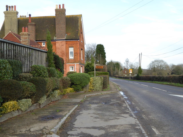
Five Oaks is primarily a residential area, consisting of a mix of traditional cottages and modern houses. The community is relatively small, with a population of around 500 residents. The village is known for its close-knit community spirit, with regular events and gatherings organized by local residents.

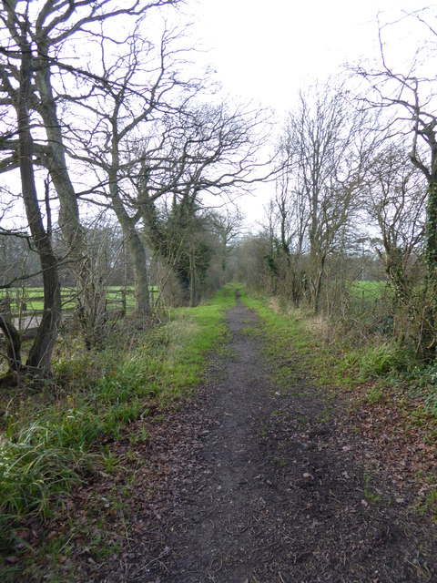
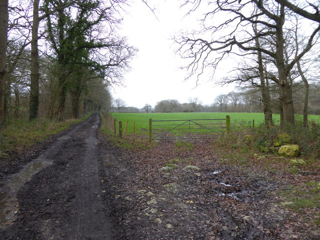
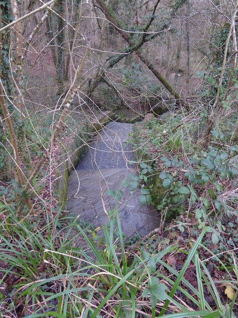
The surrounding countryside provides ample opportunities for outdoor activities, with several walking and cycling trails passing through the area. Five Oaks is also conveniently located near the larger towns of Horsham and Crawley, offering residents easy access to a range of amenities, including shopping centers, schools, and healthcare facilities.

Overall, Five Oaks offers a tranquil and idyllic setting for those seeking a peaceful rural lifestyle, while still being within reach of larger urban areas. Its rich history, community spirit, and beautiful natural surroundings make it a desirable place to call home.

If you have any feedback on the listing, please let us know in the comments section below.
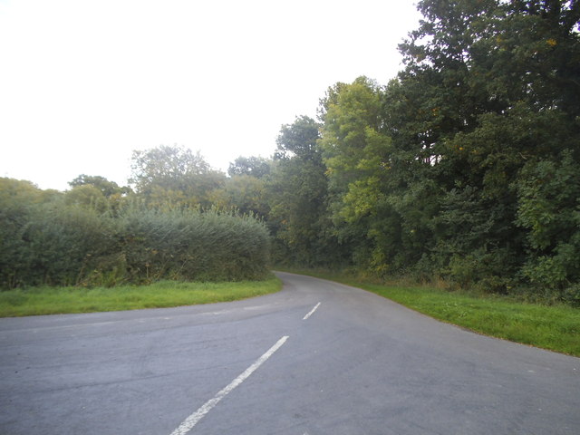
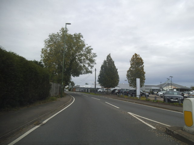
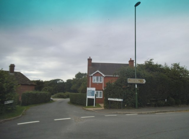
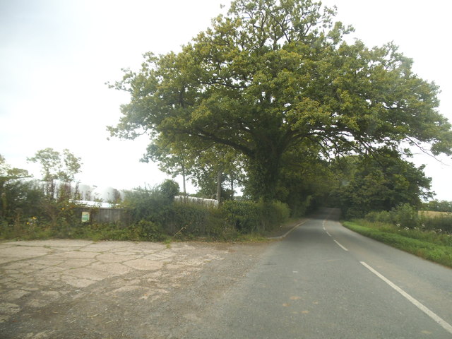
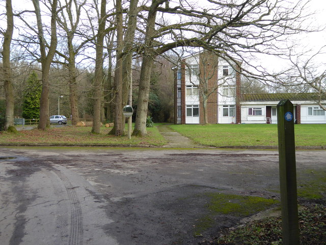
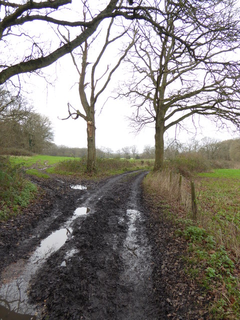
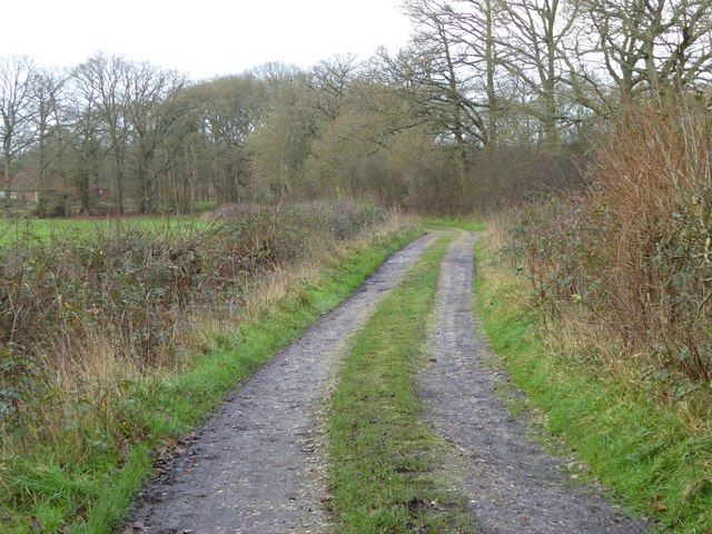
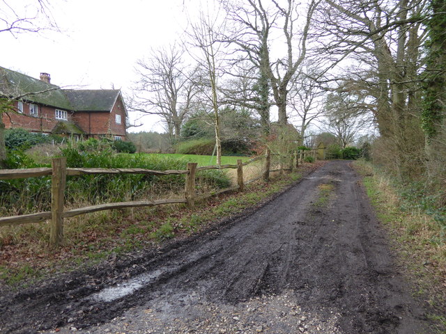
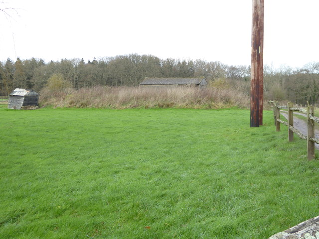
Five Oaks Images

Images are sourced within 2km of 51.043996/-0.437959 or Grid Reference TQ0928. Thanks to Geograph Open Source API. All images are credited.

Okehurst Lane
Okehurst Lane
Hurlands on Haven Road
Stane Street looking towards Harwoods Audi garage
Ingfield Manor Drive at the junction of Stane Street
Haven Road, Buckman Corner
Haven Road, The Haven
Cry 'God for Harry! England! and Saint George!'  Good to see the flag being flown.
Cry 'God for Harry! England! and Saint George!'
Good to see the flag being flown.
Looking southwards across bridleway junction on Haven Road See also <a title="https://www.geograph.org.uk/photo/243420" href="https://www.geograph.org.uk/photo/243420">Link</a>.
Looking southwards across bridleway junction on Haven Road
See also Link.
Bed and Breakfast at Five Oaks Farm See <a title="https://www.geograph.org.uk/photo/1594129" href="https://www.geograph.org.uk/photo/1594129">Link</a> from 2009.
Bed and Breakfast at Five Oaks Farm
See Link from 2009.
Bridleway goes west from Five Oaks Farm
Bridleway going east through Ingfield Manor School
Bridleway goes west near Ingfield Manor School
Bridleway bends right at field corner
Bridleway heads towards Leverance Farm The buildings on the left are in the next grid square to the north.
Bridleway heads towards Leverance Farm
The buildings on the left are in the next grid square to the north.
Marles Lane bridleway approaches bend going west
Field by Marles Lane bridleway with shed on the slant
Outflow from lake by Marles Lane
Small island in lake by Marles Lane See <a title="https://www.geograph.org.uk/photo/102531" href="https://www.geograph.org.uk/photo/102531">Link</a> from 2006.
Small island in lake by Marles Lane
See Link from 2006.
Show me another place!

Five Oaks is located at Grid Ref: TQ0928 (Lat: 51.043996, Lng: -0.437959)

Administrative County: West Sussex

District: Horsham

Police Authority: Sussex

What 3 Words

///deflate.rating.landowner. Near Billingshurst, West Sussex

Related Wikis

Five Oaks

Five Oaks is a large hamlet in the Horsham District of West Sussex, England. It lies about 1.7 miles (2.8 km) north of Billingshurst on the Roman road...

The Haven, West Sussex

The Haven is a rural hamlet in West Sussex, south east England located about 7 miles to the west of Horsham.The Haven is primarily an agricultural area...

Coppedhall Hanger

Coppedhall Hanger is a 0.6-hectare (1.5-acre) geological Site of Special Scientific Interest north of Billingshurst in West Sussex. It is a Geological...

Billingshurst F.C.

Billingshurst Football Club is a football club based in Billingshurst, West Sussex, England. They are currently members of the Southern Combination Division...

Billingshurst

Billingshurst is a village and civil parish in the Horsham District of West Sussex, England. The village lies on the A29 road (the Roman Stane Street)...

Billingshurst Unitarian Chapel

Billingshurst Unitarian Chapel is a place of worship in Billingshurst in the English county of West Sussex. The cottage-like building was erected in 1754...

Slinfold railway station

Slinfold railway station was on the Cranleigh Line and served the village of Slinfold in West Sussex. == History == The line had a single track and opened...

The Weald School

The Weald School is a coeducational secondary school and sixth form. It caters for around 1,700 pupils in years 7 to 13, including over 300 in its sixth...

Nearby Amenities

Located within 500m of 51.043996,-0.437959
Five Oaks
Place: village
Wikidata: Q5456054
Lat/Long: 51.0447368/-0.435198
Ele: 65
Natural: peak
Source: NPE
Lat/Long: 51.044208/-0.4403589
Bus Stop
Five Oaks
Bus: yes
Naptan AtcoCode: 4400HR0001
Naptan Bearing: SW
Naptan CommonName: Five Oaks
Naptan Indicator: o/s Fieldings Cottages
Naptan Landmark: Horsham Road
Naptan NaptanCode: wsxatdpj
Naptan Street: Stane Street A29
Naptan Verified: no
Public Transport: platform
Source: naptan_import
Lat/Long: 51.0441793/-0.4355853
Bus Stop
Five Oaks
Bus: yes
Naptan AtcoCode: 4400HR0002
Naptan Bearing: NE
Naptan BusStopType: CUS
Naptan CommonName: Five Oaks
Naptan Indicator: o/s Stanewell House
Naptan Landmark: Horsham Road
Naptan NaptanCode: wsxatdpm
Naptan Street: Stane Street A29
Naptan Verified: no
Public Transport: platform
Source: naptan_import
Lat/Long: 51.0442258/-0.4357044
Bus Stop
Five Oaks
Bus: yes
Naptan AtcoCode: 4400HR0003
Naptan Bearing: NE
Naptan CommonName: Five Oaks
Naptan Indicator: o/s Cherry Tree Cottage
Naptan Landmark: Horsham Road A264
Naptan NaptanCode: wsxatdpt
Naptan Street: A29
Naptan Verified: no
Public Transport: platform
Source: naptan_import
Lat/Long: 51.0454201/-0.4348189
Bus Stop
Five Oaks
Bus: yes
Naptan AtcoCode: 4400HR0004
Naptan Bearing: SW
Naptan BusStopType: CUS
Naptan CommonName: Five Oaks
Naptan Indicator: o/s Poplar Bungalow
Naptan Landmark: Horsham Road A264
Naptan NaptanCode: wsxatdpw
Naptan Street: A29
Naptan Verified: no
Public Transport: platform
Source: naptan_import
Lat/Long: 51.0453681/-0.4347257
Borough Farm
Place: farm
Lat/Long: 51.0421208/-0.4366838
Post Box
Collection Times: Mo-Fr 09:00; Sa 07:00
Operator: Royal Mail
Post Box Type: lamp
Ref: RH14 8D
Royal Cypher: EIIR
Lat/Long: 51.0442229/-0.4355619
The data included in this document is from www.openstreetmap.org. The data is made available under ODbL.

Have you been to Five Oaks?

Leave your review of Five Oaks below (or comments, questions and feedback).