Pancake Wood
Wood, Forest in Hertfordshire St. Albans
England
Pancake Wood
Pancake Wood is a picturesque woodland located in Hertfordshire, England. Situated in the southeastern part of the county, it covers an area of approximately 50 acres. The woodland is known for its rich biodiversity and is home to a variety of plant and animal species.
Pancake Wood is predominantly composed of deciduous trees, including oak, beech, and birch, which create a dense canopy during the summer months. This provides a serene and tranquil atmosphere, making it a popular destination for nature enthusiasts and hikers. The forest floor is covered in a thick layer of leaf litter, offering a haven for diverse flora and fauna.
The wood is crisscrossed by a network of well-maintained footpaths, allowing visitors to explore its natural beauty at their own pace. These pathways lead to several clearings within the woodland, providing opportunities for picnicking and relaxation. Additionally, there is a small stream that meanders through Pancake Wood, adding to its charm and offering a habitat for aquatic wildlife.
Pancake Wood has a rich history, dating back many centuries. It has been used as a source of timber for local communities, and evidence of ancient coppicing techniques can still be seen in certain areas. The wood has also played a role in local folklore and traditions, with stories passed down through generations.
In recent years, efforts have been made to preserve and protect Pancake Wood. Conservation initiatives have been implemented to maintain its ecological balance and ensure its long-term sustainability. As a result, the wood continues to thrive and attract visitors from near and far, providing a peaceful retreat within the heart of Hertfordshire.
If you have any feedback on the listing, please let us know in the comments section below.
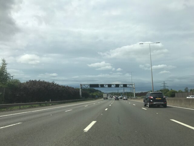
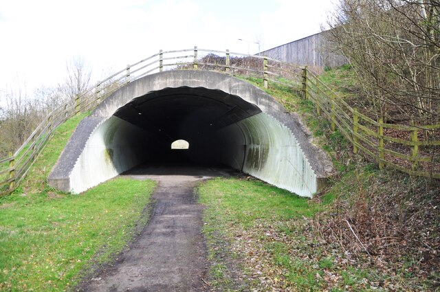
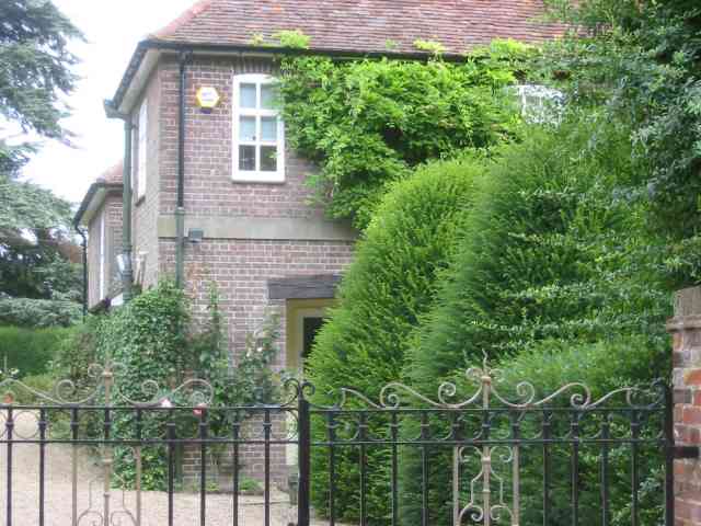
Pancake Wood Images
Images are sourced within 2km of 51.787485/-0.4193542 or Grid Reference TL0911. Thanks to Geograph Open Source API. All images are credited.


Pancake Wood is located at Grid Ref: TL0911 (Lat: 51.787485, Lng: -0.4193542)
Administrative County: Hertfordshire
District: St. Albans
Police Authority: Hertfordshire
What 3 Words
///librarian.rainy.just. Near Redbourn, Hertfordshire
Nearby Locations
Related Wikis
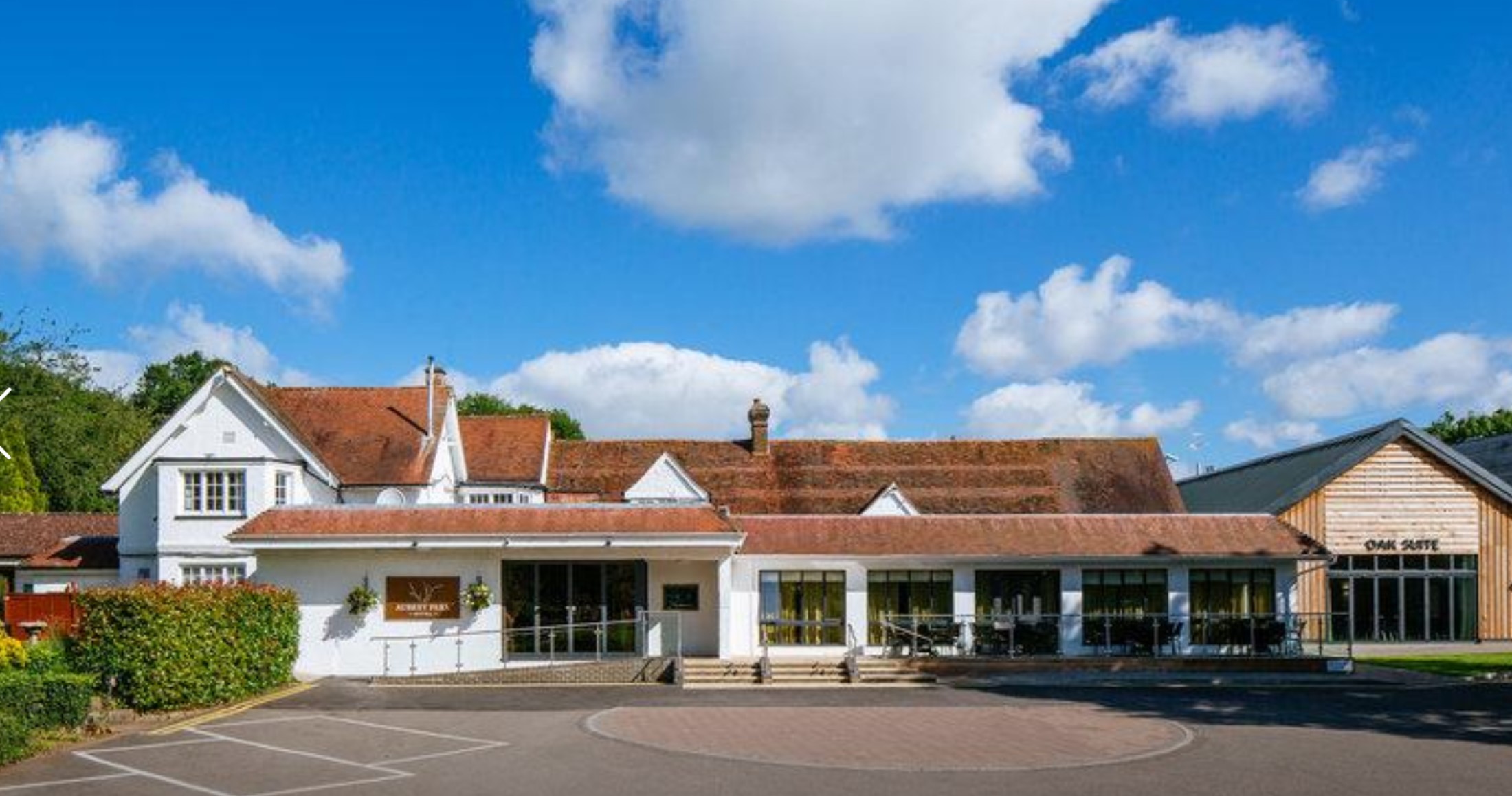
Aubrey Park Hotel
Aubrey Park, Redbourn in Hertfordshire is a building of historical significance and is listed on the English Heritage Register. Parts of the building date...

Beaumont's Halt railway station
Beaumont's Halt railway station was in Hertfordshire, England from 1905 to 1963 on the Nickey Line. == History == The station opened on 9 August 1905...
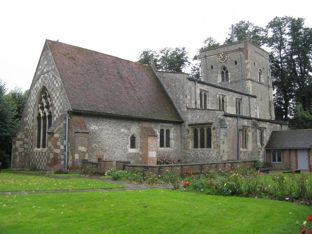
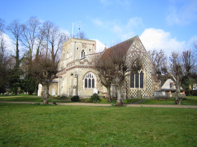
St Mary's Church, Redbourn
St Mary's Church is an active Grade I listed parish church in the Church of England in Redbourn, Hertfordshire, England. The building is Grade I listed...
Redbourn
Redbourn is a village and civil parish in Hertfordshire, England, lying on Watling Street, three miles (4.8 km) from Harpenden, four miles (6.4 km) from...
Redbourn railway station
Redbourn railway station served the village of Redbourn, Hertfordshire, England from 1887 to 1964 on the Nickey Line. == History == The station opened...
The Astley Cooper School
The Astley Cooper School is an English 11–18 comprehensive school on the edge of Hemel Hempstead in Hertfordshire, England. == History == The school was...

Buncefield oil depot
Buncefield oil depot is operated by Hertfordshire Oil Storage Ltd (HOSL) and officially known as the Hertfordshire Oil Storage Terminal. It is an oil depot...

Buncefield fire
The Buncefield fire was a major fire at an oil storage facility that started at 06:01 UTC on Sunday 11 December 2005 at the Hertfordshire Oil Storage Terminal...
Nearby Amenities
Located within 500m of 51.787485,-0.4193542Have you been to Pancake Wood?
Leave your review of Pancake Wood below (or comments, questions and feedback).