New Wood

Wood, Forest in Lincolnshire North Kesteven

England

New Wood

B1 61306 approaching Holdingham Lane level crossing Returning from Lincoln on an excursion originating in Chelmsford.
B1 61306 approaching Holdingham Lane level crossing Credit: Jonathan Thacker

New Wood is a charming village located in the county of Lincolnshire, in the East Midlands region of England. Situated in the heart of the Lincolnshire Wolds, it is surrounded by picturesque rolling hills, lush fields, and enchanting woodlands, making it an idyllic destination for nature lovers and outdoor enthusiasts.

The village itself is small and tightly-knit, with a population of around 500 residents. Its quaint and peaceful atmosphere offers a welcome escape from the hustle and bustle of city life. New Wood boasts a close-knit community spirit, where neighbors know each other by name and residents take pride in maintaining their surroundings.

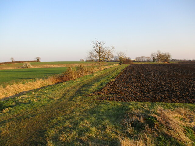
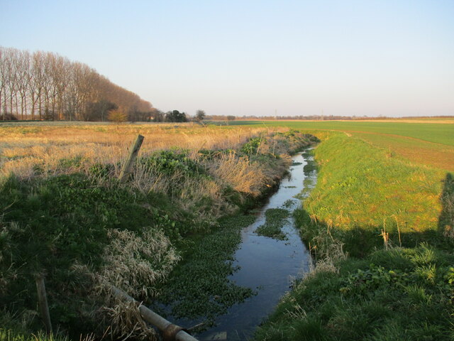
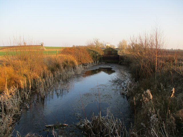
The woodland in New Wood is a prominent feature of the village, covering a significant portion of the area. It provides ample opportunities for leisurely walks, exploring nature trails, and enjoying the beauty of the great outdoors. The forest is home to a diverse range of flora and fauna, including ancient oak trees, wildflowers, and various bird species.

In addition to its natural beauty, New Wood is also known for its historical significance. The village has a rich heritage, with evidence of human settlement dating back to the Roman era. The charming village church, St. Mary's, stands as a testament to the area's long history, with its Norman architecture and medieval features.

Overall, New Wood is a hidden gem in Lincolnshire, offering a peaceful and picturesque environment that is perfect for those seeking a rural retreat or a taste of authentic English countryside living.

If you have any feedback on the listing, please let us know in the comments section below.
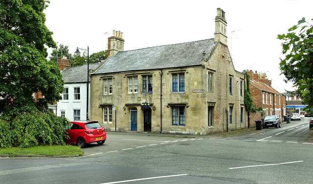
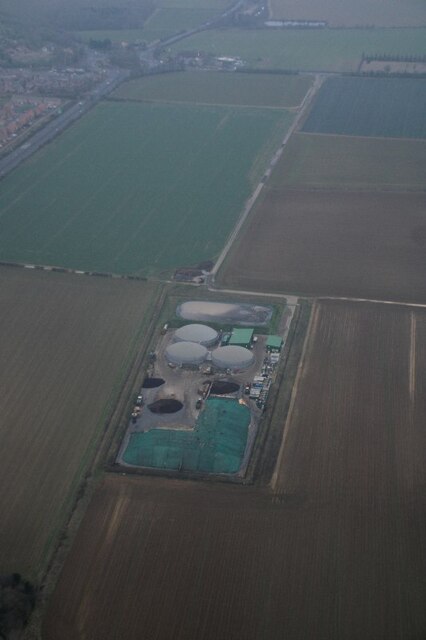
New Wood Images

Images are sourced within 2km of 53.018029/-0.401721 or Grid Reference TF0747. Thanks to Geograph Open Source API. All images are credited.

B1 61306 approaching Holdingham Lane level crossing Returning from Lincoln on an excursion originating in Chelmsford.
B1 61306 approaching Holdingham Lane level crossing
Returning from Lincoln on an excursion originating in Chelmsford.
Footpath along the river bank The River Slea on the left is entirely hidden by reeds.
Footpath along the river bank
The River Slea on the left is entirely hidden by reeds.
Holdingham Mill Former mill buildings <span class="nowrap"><a title="https://historicengland.org.uk/listing/the-list/list-entry/1360440" rel="nofollow ugc noopener" href="https://historicengland.org.uk/listing/the-list/list-entry/1360440">Link</a><img style="margin-left:2px;" alt="External link" title="External link - shift click to open in new window" src="https://s1.geograph.org.uk/img/external.png" width="10" height="10"/></span>
Holdingham Mill
Former mill buildings LinkExternal link
Stubble field near Holdingham Mill
The remains of Corn Mill Lock Part of the Sleaford Navigation. The canal opened in 1794 and closed in 1881. <span class="nowrap"><a title="https://en.wikipedia.org/wiki/Sleaford_Navigation" rel="nofollow ugc noopener" href="https://en.wikipedia.org/wiki/Sleaford_Navigation">Link</a><img style="margin-left:2px;" alt="External link" title="External link - shift click to open in new window" src="https://s1.geograph.org.uk/img/external.png" width="10" height="10"/></span>
The remains of Corn Mill Lock
Part of the Sleaford Navigation. The canal opened in 1794 and closed in 1881. LinkExternal link
Tesco at Sleaford Located on North Gate.
Tesco at Sleaford
Located on North Gate.
East Gate, Sleaford Viewed on the edge of the square on a disappointingly dull summer day.
East Gate, Sleaford
Viewed on the edge of the square on a disappointingly dull summer day.
The church of St Mary
Old and New Rivers Slea: aerial 2022
Holdingham Biogas: aerial 2022 Commercial anaerobic digestion facility. See <span class="nowrap"><a title="https://www.holdinghambiogas.co.uk/" rel="nofollow ugc noopener" href="https://www.holdinghambiogas.co.uk/">Link</a><img style="margin-left:2px;" alt="External link" title="External link - shift click to open in new window" src="https://s1.geograph.org.uk/img/external.png" width="10" height="10"/></span>
Holdingham Biogas: aerial 2022
Commercial anaerobic digestion facility. See LinkExternal link
Pumping station on the outskirts of Sleaford Pumps water from the Old River Slea into the present River Slea.
Pumping station on the outskirts of Sleaford
Pumps water from the Old River Slea into the present River Slea.
Fields east of Sleaford
The Old River Slea The present course of the River Slea is alongside the trees on the left.
The Old River Slea
The present course of the River Slea is alongside the trees on the left.
Breedon concrete plant, Sleaford
Pond and pumping station The pumping station pumps water from the Old River Slea into the present River Slea via this pond..
Pond and pumping station
The pumping station pumps water from the Old River Slea into the present River Slea via this pond..
Slea Bridge Carries the Sleaford Avoiding Line over the River Slea. The bridge has  recently been rebuilt, compare with <a href="https://www.geograph.org.uk/photo/627455">TF0746 : Railway bridge of the River Slea</a>
Slea Bridge
Carries the Sleaford Avoiding Line over the River Slea. The bridge has recently been rebuilt, compare with TF0746 : Railway bridge of the River Slea
Black shed A once common sight. Now most have been replaced or are in poor condidtion. A candidate for listing?
Black shed
A once common sight. Now most have been replaced or are in poor condidtion. A candidate for listing?
Coggesford Lock The remains of Coggesford Lock on the Sleaford Navigation.
Coggesford Lock
The remains of Coggesford Lock on the Sleaford Navigation.
Show me another place!

New Wood is located at Grid Ref: TF0747 (Lat: 53.018029, Lng: -0.401721)

Administrative County: Lincolnshire

District: North Kesteven

Police Authority: Lincolnshire

What 3 Words

///efficient.herring.widest. Near Leasingham, Lincolnshire

Nearby Locations

Sleaford Moor New Wood

Related Wikis

Leasingham

Leasingham is a village and civil parish in the North Kesteven district of Lincolnshire, England. It is situated less than 2 miles (3 km) north from Sleaford...

Carre's Grammar School

Carre's Grammar School is a selective secondary school for boys in Sleaford, a market town in Lincolnshire, England. Founded on 1 September 1604 by an...
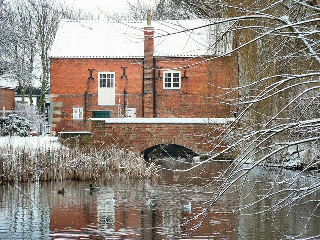
Cogglesford Mill

Cogglesford Mill (sometimes referred to as Coggesford) is a Grade II listed working watermill in Sleaford, Lincolnshire. It is possibly the last working...

North Kesteven Council Offices

The North Kesteven Council Offices, formerly County Offices, Sleaford, is a municipal structure in Lafford Terrace, Sleaford, Lincolnshire, England. The...

Manor House, Sleaford

The Manor House is a set of connected buildings located on Northgate in the English town of Sleaford, Lincolnshire. A complex arrangement, parts of the...

St Denys' Church, Sleaford

St Denys' Church is a medieval Anglican parish church in Sleaford, Lincolnshire, England. While a church and a priest have probably been present in the...

Sessions House, Sleaford

The Sessions House, also known as Sleaford Town Hall, is a judicial structure in the Market Place, Sleaford, Lincolnshire, England. The structure, which...

Sleaford Town F.C.

Sleaford Town F.C. is a football club based in Sleaford, Lincolnshire, England. The club plays in the United Counties League Premier Division North....

Have you been to New Wood?

Leave your review of New Wood below (or comments, questions and feedback).