Greensbury Wood

Wood, Forest in Bedfordshire

England

Greensbury Wood

Backnoe End Equestrian Centre
Backnoe End Equestrian Centre Credit: JThomas

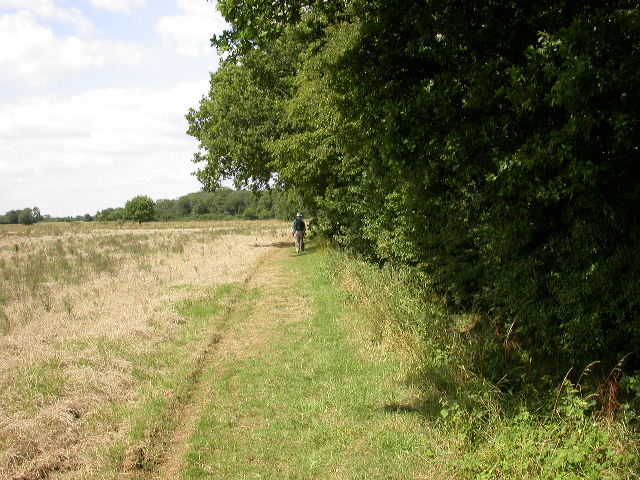
Greensbury Wood is a picturesque woodland located in the county of Bedfordshire, England. Covering an area of approximately 100 acres, this enchanting forest is situated on the outskirts of the small village of Greensbury, hence its name. The wood is easily accessible, being just a short drive away from the bustling town of Bedford.

The woodland is characterized by its diverse range of tree species, including oak, ash, beech, and birch, among others. These towering trees create a dense canopy that provides a haven for various wildlife species. Visitors to the wood can expect to encounter squirrels, rabbits, and a variety of bird species, making it a popular destination for nature enthusiasts and birdwatchers.

Tranquility and natural beauty are the hallmarks of Greensbury Wood. It offers numerous walking trails, allowing visitors to explore its hidden gems and enjoy the peaceful ambiance. The forest floor is adorned with a carpet of vibrant wildflowers during the spring and summer months, adding a splash of color to the surroundings.

The wood is managed by the local Bedfordshire Wildlife Trust, ensuring its conservation and protection. The trust also organizes educational programs and events for both adults and children, promoting awareness and understanding of the local ecosystem.

Greensbury Wood is a true gem in the Bedfordshire countryside, offering a serene escape from the hustle and bustle of everyday life. Whether one seeks a leisurely stroll, a place to connect with nature, or a spot for wildlife observation, this woodland has something to offer to all who venture into its enchanting depths.

If you have any feedback on the listing, please let us know in the comments section below.

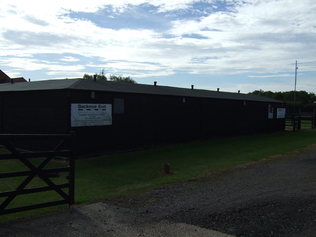
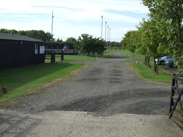
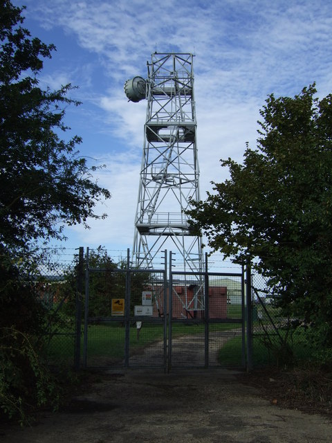
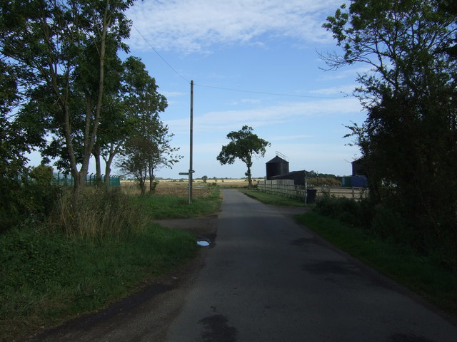
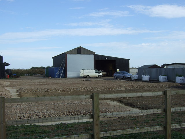
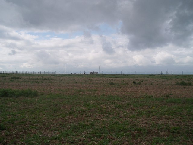
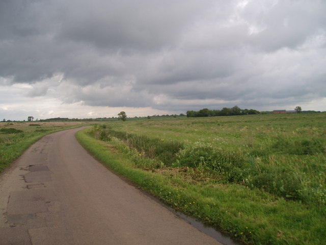
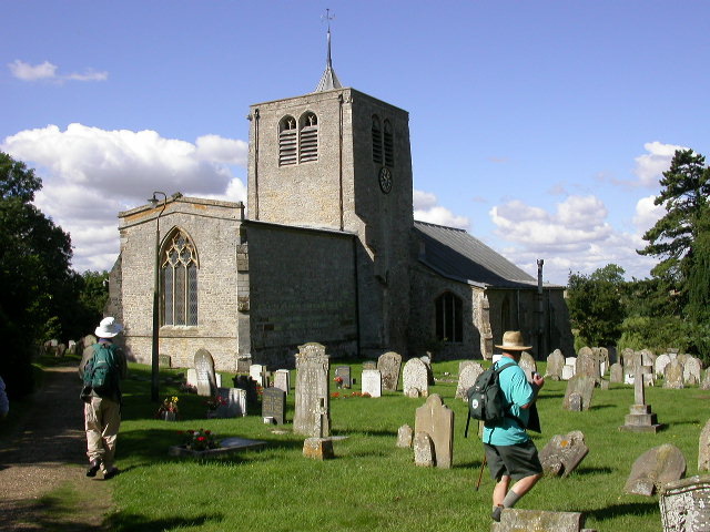
Greensbury Wood Images

Images are sourced within 2km of 52.215475/-0.43100778 or Grid Reference TL0758. Thanks to Geograph Open Source API. All images are credited.

Backnoe End Equestrian Centre
Communications Mast Off Keysoe Road.
Communications Mast
Off Keysoe Road.
Keysoe Road Heading east.
Keysoe Road
Heading east.
College Farm
College Farm
Bedford airfield South fence of, looking from outside
Bedford airfield
South fence of, looking from outside
Bedfordshire view Fairly typical road through north Bedfordshire next to the old Bedford Airfield
Bedfordshire view
Fairly typical road through north Bedfordshire next to the old Bedford Airfield
Keysoe Road Lone tree at the side of the single track lane running between Keysoe and Thurleigh
Keysoe Road
Lone tree at the side of the single track lane running between Keysoe and Thurleigh
Farm implements beside the Keysoe road A gang of cambridge ring rolls and a double press, implements of arable farming.
Farm implements beside the Keysoe road
A gang of cambridge ring rolls and a double press, implements of arable farming.
Thurleigh Village Hall The Hall is on the main street through Thurleigh.
Thurleigh Village Hall
The Hall is on the main street through Thurleigh.
St Peters Church, Thurleigh The earliest remaining part of the church is of the early C12th. Further building work took place in the 13th, 14th and 15th Centuries.
St Peters Church, Thurleigh
The earliest remaining part of the church is of the early C12th. Further building work took place in the 13th, 14th and 15th Centuries.
Beside Tilwick Wood Short Wood can be seen in the distance.
Beside Tilwick Wood
Short Wood can be seen in the distance.
Park End Farm House Taken from a bridleway to the west.
Park End Farm House
Taken from a bridleway to the west.
Cross End Shot taken from a track just south of the road that runs through the hamlet.
Cross End
Shot taken from a track just south of the road that runs through the hamlet.
Thurleigh WWII USA Memorial Situated on Keysoe Road on the outskirts of Thurleigh is this memorial to the Air Ground and Support Personnel of Station III of the 306th Bombardment Group (Heavy). Many of the old airfield building and shelters are still visible but mostly derelict.

Update: A site visitor has informed us that the memorial was relocated to the 306th Museum on Thurleigh Airfield <a href="https://www.geograph.org.uk/photo/1832127">TL0360 : 306th Bombardment Group Museum</a> and rededicated in July 2012. and that the buildings behind the memorial were demolished around 2009/2010 because they were unsafe.
Thurleigh WWII USA Memorial
Situated on Keysoe Road on the outskirts of Thurleigh is this memorial to the Air Ground and Support Personnel of Station III of the 306th Bombardment Group (Heavy). Many of the old airfield building and shelters are still visible but mostly derelict. Update: A site visitor has informed us that the memorial was relocated to the 306th Museum on Thurleigh Airfield TL0360 : 306th Bombardment Group Museum and rededicated in July 2012. and that the buildings behind the memorial were demolished around 2009/2010 because they were unsafe.
Thurleigh Airfield WWII Shelter Situated just 30 yards from the Thurleigh to Keysoe road in what would have been the old WWII airfield is this crumbling shelter
Thurleigh Airfield WWII Shelter
Situated just 30 yards from the Thurleigh to Keysoe road in what would have been the old WWII airfield is this crumbling shelter
View across to Myers hill Looking  south east
View across to Myers hill
Looking south east
Road  junction Manor Farm
Road junction Manor Farm
Show me another place!

Greensbury Wood is located at Grid Ref: TL0758 (Lat: 52.215475, Lng: -0.43100778)

Unitary Authority: Bedford

Police Authority: Bedfordshire

What 3 Words

///songbook.unscrew.baffle. Near Colmworth, Bedfordshire

Nearby Locations

Greensbury Wood

Related Wikis

Bolnhurst

Bolnhurst is a small village and former civil parish, now in the parish of Bolnhurst and Keysoe, in the Borough of Bedford, Bedfordshire, England. The...

Thurleigh

Thurleigh is a village and civil parish in the Borough of Bedford, north Bedfordshire, England, situated around 5 miles (8.0 km) north of Bedford town...

Tilwick Meadow

Tilwick Meadow is a 2.6-hectare (6.4-acre) biological Site of Special Scientific Interest between Thurleigh and Wilden in Bedfordshire. It was notified...

Thurleigh Castle

Thurleigh Castle, also known as Bury Hills, was a medieval castle in the civil parish of Thurleigh, in the county of Bedfordshire, England. == Details... ==

Bedford Aerodrome

Bedford Aerodrome (ICAO: EGBF) is located 5 nautical miles (9.3 km; 5.8 mi) north of Bedford, in Bedfordshire, England. The aerodrome which is privately...

Bolnhurst and Keysoe

Bolnhurst and Keysoe is a civil parish in the Borough of Bedford in Bedfordshire, England. According to the 2001 census it had a population of 734, reducing...

Keysoe Row

Keysoe Row is a hamlet located in the Borough of Bedford in Bedfordshire, England. The settlement is located to the south of the village of Keysoe, and...

Colmworth

Colmworth is a village and civil parish in the Borough of Bedford in the county of Bedfordshire, England about 6.5 miles (10 km) north-east of Bedford...

Nearby Amenities

Located within 500m of 52.215475,-0.43100778
Place: farm
Lat/Long: 52.2189564/-0.4286944
Marker: aerial
Utility: oil
Lat/Long: 52.2167499/-0.4264951
Colour: white
Marker: post
Material: concrete
Utility: oil
Lat/Long: 52.2168373/-0.4264991
Colour: white
Marker: post
Material: concrete
Utility: oil
Lat/Long: 52.2167612/-0.4264867
The data included in this document is from www.openstreetmap.org. The data is made available under ODbL.

Have you been to Greensbury Wood?

Leave your review of Greensbury Wood below (or comments, questions and feedback).