Hope Rough
Wood, Forest in Sussex Horsham
England
Hope Rough
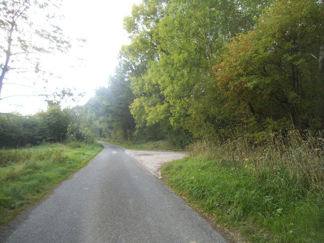
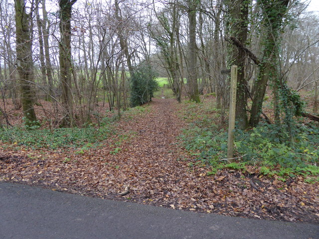
Hope Rough is a woodland area located in Sussex, England. It is situated in the southern region of the county, encompassing an area of approximately 50 hectares. The woodland is known for its dense, mature trees, primarily consisting of oak, beech, and birch species. It forms part of the larger Sussex Weald, a historic forested area renowned for its natural beauty.
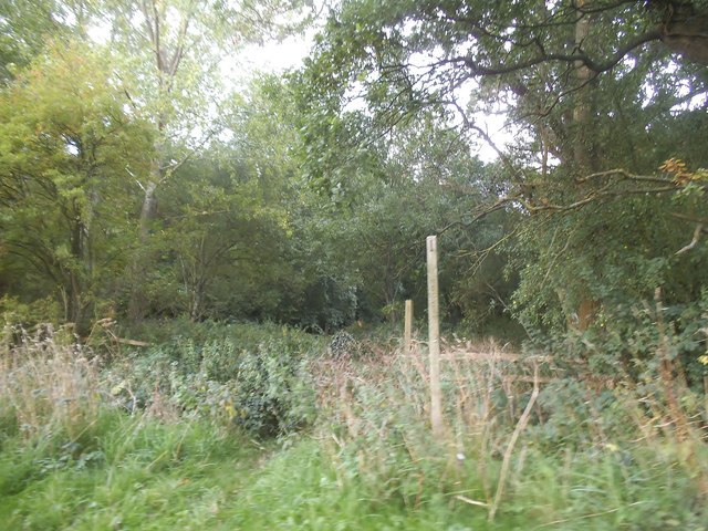
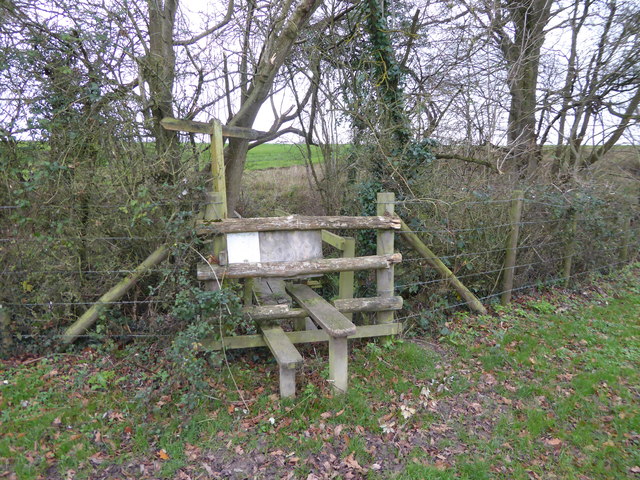
Hope Rough is characterized by its undulating terrain, with gentle slopes and occasional steep inclines. The woodland is crisscrossed by a network of footpaths, providing ample opportunities for visitors to explore and enjoy the natural surroundings. These paths lead visitors through a variety of landscapes, including open glades, shady groves, and babbling brooks.
Wildlife thrives in Hope Rough, with the diverse habitat supporting a rich array of species. Visitors may encounter red deer, foxes, badgers, and an abundance of birdlife, including woodpeckers, owls, and various songbirds. The woodland is also home to a variety of plant species, such as bluebells, wild garlic, and primroses, which create a vibrant and colorful display during the spring months.
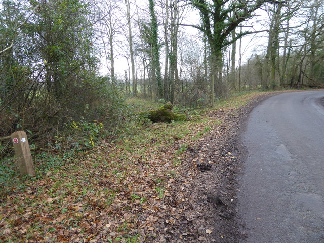
Due to its natural beauty and ecological importance, Hope Rough is designated as a Site of Special Scientific Interest (SSSI). This status ensures the preservation and protection of the area, allowing future generations to appreciate its unique and diverse ecosystem.
Overall, Hope Rough in Sussex is a picturesque woodland that offers visitors a tranquil and immersive experience in nature. It provides a haven for wildlife and serves as an important ecological asset within the region.
If you have any feedback on the listing, please let us know in the comments section below.
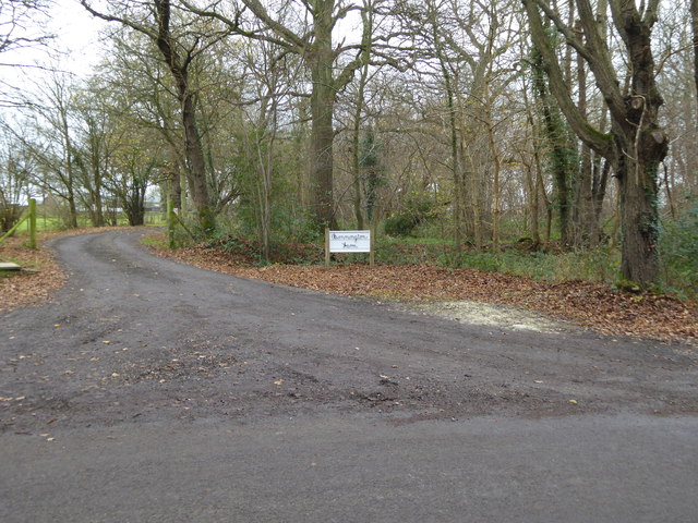
Hope Rough Images
Images are sourced within 2km of 51.057072/-0.47135065 or Grid Reference TQ0729. Thanks to Geograph Open Source API. All images are credited.


Hope Rough is located at Grid Ref: TQ0729 (Lat: 51.057072, Lng: -0.47135065)
Administrative County: West Sussex
District: Horsham
Police Authority: Sussex
What 3 Words
///grid.scatters.hothouse. Near Rudgwick, West Sussex
Nearby Locations
Related Wikis

The Haven, West Sussex
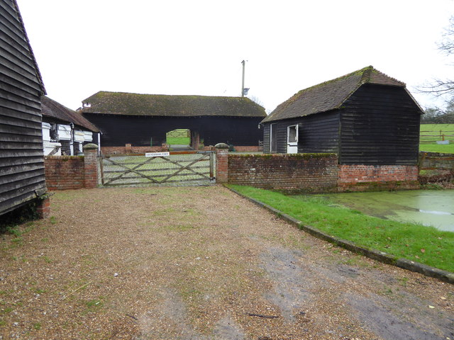
The Haven is a rural hamlet in West Sussex, south east England located about 7 miles to the west of Horsham.The Haven is primarily an agricultural area...

Coppedhall Hanger
Coppedhall Hanger is a 0.6-hectare (1.5-acre) geological Site of Special Scientific Interest north of Billingshurst in West Sussex. It is a Geological...

Tisman's Common
Tisman's Common is a hamlet in the Horsham District of West Sussex, England. It stands in the parish of Rudgwick, on the Rudgwick to Loxwood road, 6.4...

Five Oaks
Five Oaks is a large hamlet in the Horsham District of West Sussex, England. It lies about 1.7 miles (2.8 km) north of Billingshurst on the Roman road...

Loxwood F.C.
Loxwood Football Club is a football club based in Loxwood, West Sussex, England. Nicknamed "The Magpies" and affiliated to the Surrey County FA, they are...
Billingshurst F.C.
Billingshurst Football Club is a football club based in Billingshurst, West Sussex, England. They are currently members of the Southern Combination Division...

Loxwood
Loxwood is a small village and civil parish with several outlying settlements, in the Chichester district of West Sussex, England, within the Low Weald...
Rudgwick railway station
Rudgwick railway station was on the Cranleigh Line. It served the village of Rudgwick in West Sussex until June, 1965. == History == Rudgwick station opened...
Nearby Amenities
Located within 500m of 51.057072,-0.47135065Have you been to Hope Rough?
Leave your review of Hope Rough below (or comments, questions and feedback).