Hogland Rough
Wood, Forest in Sussex Horsham
England
Hogland Rough
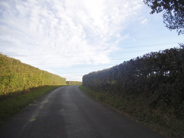
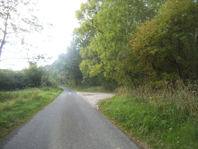
Hogland Rough is a wooded area located in Sussex, England. It is situated in the southeastern part of the county, near the village of Wood. The rough is characterized by its dense forest and diverse wildlife.
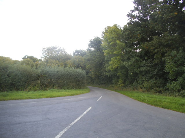
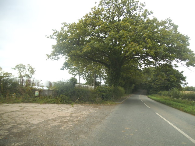
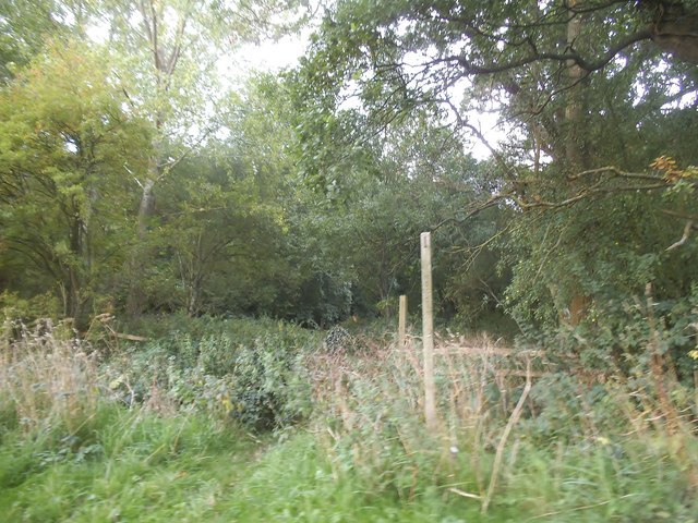
Covering an area of approximately 50 hectares, Hogland Rough is a haven for nature enthusiasts and hikers. The forest is predominantly made up of broad-leaved trees, such as oak, beech, and birch, which create a lush and vibrant canopy. The forest floor is covered in a rich carpet of moss and ferns, adding to its natural beauty.
The rough provides a habitat for a variety of wildlife, including deer, foxes, badgers, and an array of bird species. The forest's secluded location and diverse vegetation make it an ideal nesting ground for many birds, including woodpeckers, owls, and warblers. It is also home to a number of rare and protected species, such as the great crested newt and the silver-washed fritillary butterfly.
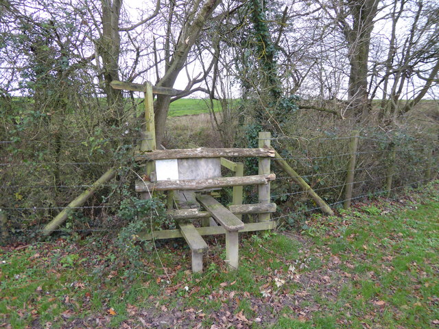
Hogland Rough is a popular destination for outdoor activities, such as walking, bird watching, and photography. The forest is crisscrossed by a network of footpaths, allowing visitors to explore its hidden corners and discover its natural wonders. The rough is managed by the local authorities, who ensure its conservation and protection for future generations to enjoy.
Overall, Hogland Rough is a picturesque woodland in Sussex, offering a tranquil escape from the hustle and bustle of everyday life. Its diverse flora and fauna make it a captivating destination for nature lovers and a valuable asset to the local ecosystem.
If you have any feedback on the listing, please let us know in the comments section below.
Hogland Rough Images
Images are sourced within 2km of 51.050567/-0.46083576 or Grid Reference TQ0729. Thanks to Geograph Open Source API. All images are credited.


Hogland Rough is located at Grid Ref: TQ0729 (Lat: 51.050567, Lng: -0.46083576)
Administrative County: West Sussex
District: Horsham
Police Authority: Sussex
What 3 Words
///below.washroom.abandons. Near Billingshurst, West Sussex
Nearby Locations
Related Wikis

The Haven, West Sussex
The Haven is a rural hamlet in West Sussex, south east England located about 7 miles to the west of Horsham.The Haven is primarily an agricultural area...

Coppedhall Hanger
Coppedhall Hanger is a 0.6-hectare (1.5-acre) geological Site of Special Scientific Interest north of Billingshurst in West Sussex. It is a Geological...

Five Oaks
Five Oaks is a large hamlet in the Horsham District of West Sussex, England. It lies about 1.7 miles (2.8 km) north of Billingshurst on the Roman road...

Billingshurst F.C.
Billingshurst Football Club is a football club based in Billingshurst, West Sussex, England. They are currently members of the Southern Combination Division...

Billingshurst
Billingshurst is a village and civil parish in the Horsham District of West Sussex, England. The village lies on the A29 road (the Roman Stane Street)...

Billingshurst Unitarian Chapel
Billingshurst Unitarian Chapel is a place of worship in Billingshurst in the English county of West Sussex. The cottage-like building was erected in 1754...

Tisman's Common
Tisman's Common is a hamlet in the Horsham District of West Sussex, England. It stands in the parish of Rudgwick, on the Rudgwick to Loxwood road, 6.4...
The Weald School
The Weald School is a coeducational secondary school and sixth form. It caters for around 1,700 pupils in years 7 to 13, including over 300 in its sixth...
Nearby Amenities
Located within 500m of 51.050567,-0.46083576Have you been to Hogland Rough?
Leave your review of Hogland Rough below (or comments, questions and feedback).