Edgwick

Settlement in Warwickshire

England

Edgwick

Henley College Further Education College on the North side of Coventry.
Henley College Credit: Kevin Croucher

Edgwick is a small village located in the county of Warwickshire, England. Situated approximately three miles northeast of the town of Coventry, Edgwick is a relatively quiet and rural area that offers a peaceful escape from the hustle and bustle of city life.

The village is surrounded by picturesque countryside, with rolling hills and green fields providing a serene backdrop. Its close proximity to Coventry means that residents can enjoy the benefits of both rural living and easy access to urban amenities. The village is well-connected to surrounding areas via the road network, with the A444 passing through the village, providing links to major cities such as Birmingham and Leicester.

Edgwick is home to a close-knit community, with a friendly and welcoming atmosphere. The village has a range of amenities, including a primary school, a local pub, and a village hall that hosts various community events throughout the year. The nearby town of Coventry offers a wider array of shopping, dining, and entertainment options.

For those who enjoy outdoor activities, Edgwick is ideally situated for exploring the beautiful Warwickshire countryside. There are several walking and cycling paths in the area, allowing residents to immerse themselves in the natural beauty of the surrounding landscape.

In summary, Edgwick offers a tranquil and idyllic setting, with its rural charm and convenient location making it an attractive place to live for those seeking a peaceful village lifestyle within easy reach of urban amenities.

If you have any feedback on the listing, please let us know in the comments section below.
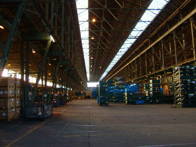
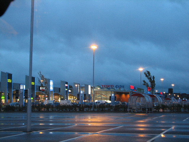
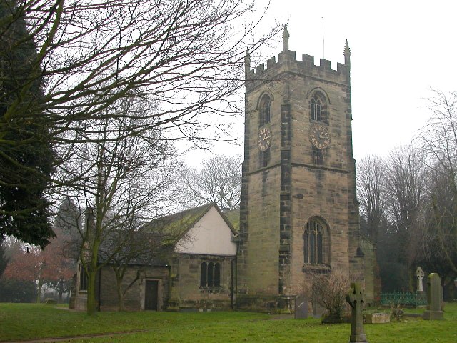
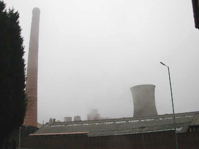
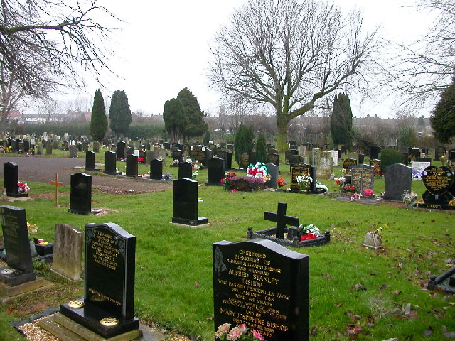
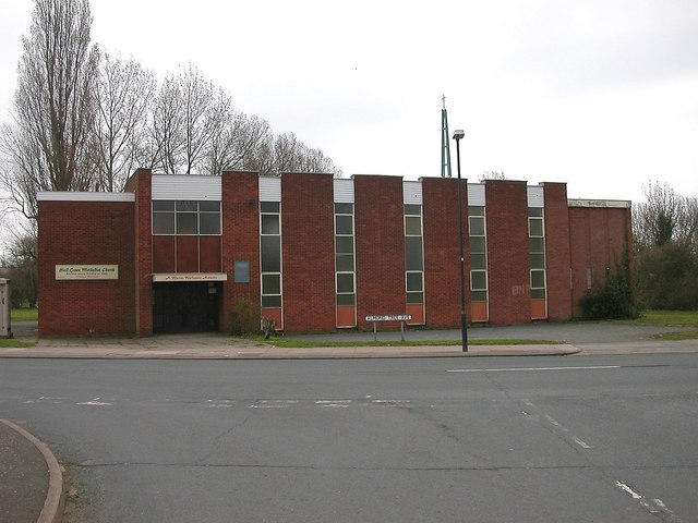
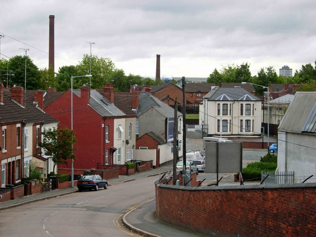
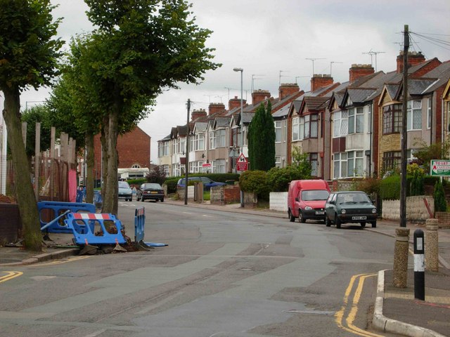
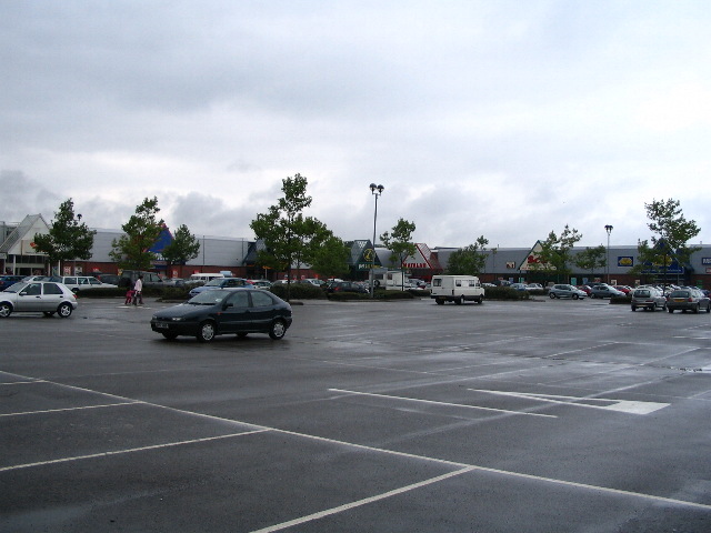
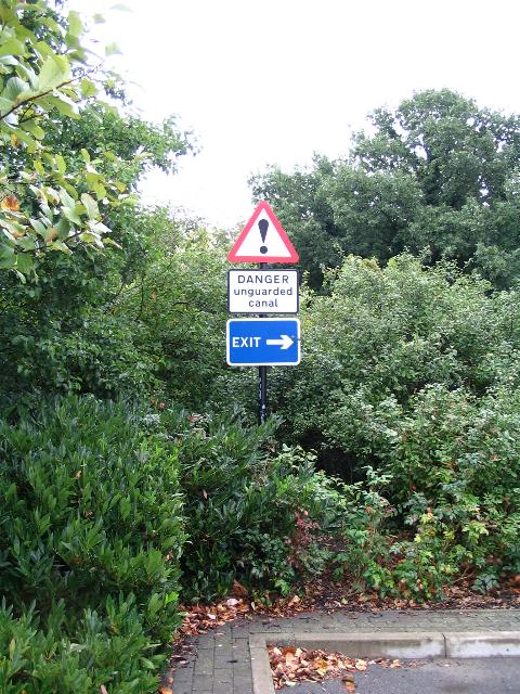
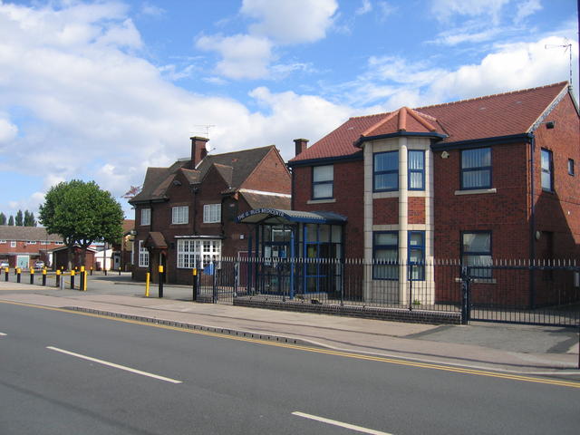
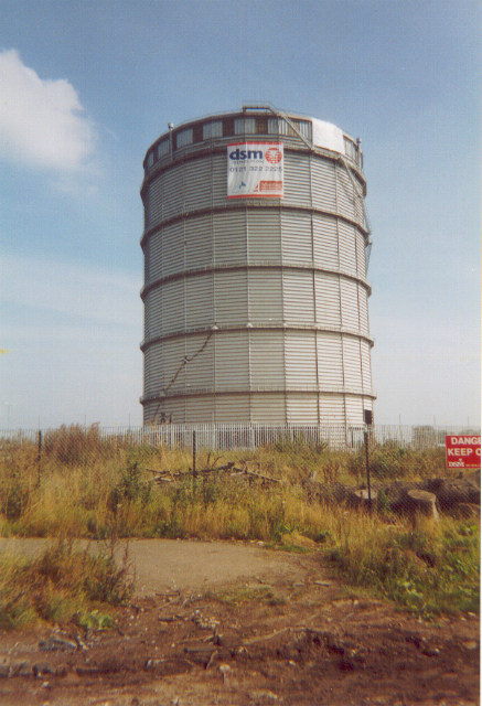
Edgwick Images

Images are sourced within 2km of 52.430551/-1.49519 or Grid Reference SP3481. Thanks to Geograph Open Source API. All images are credited.

Henley College Further Education College on the North side of Coventry.
Henley College
Further Education College on the North side of Coventry.
Courthouse Green Once the Morris Engine Works. Now home to the AT7 Sports Centre, a car hypermarket and Sainsbury's supermarket.
Courthouse Green
Once the Morris Engine Works. Now home to the AT7 Sports Centre, a car hypermarket and Sainsbury's supermarket.
Stoke Heath A valuable open space in a rather run down part of Coventry
Stoke Heath
A valuable open space in a rather run down part of Coventry
Red Lane Ordnance Works An enormous building. Amongst other things, First World War naval guns were made here.
Red Lane Ordnance Works
An enormous building. Amongst other things, First World War naval guns were made here.
Inside the Ordnance Works Difficult to photograph. Trying to give an idea of the size of the building. Now used for storing Jaguar car parts
Inside the Ordnance Works
Difficult to photograph. Trying to give an idea of the size of the building. Now used for storing Jaguar car parts
The Ricoh Arena, Coventry Where the Sky Blues and Brian Adams play...and shop
The Ricoh Arena, Coventry
Where the Sky Blues and Brian Adams play...and shop
Where the wives spend Saturday afternoon. Where the Sky Blues widows shop on a Saturday afternoon.
Where the wives spend Saturday afternoon.
Where the Sky Blues widows shop on a Saturday afternoon.
Coventry - Foleshill Church of St Laurence stands alone some distance from any road.
Coventry - Foleshill
Church of St Laurence stands alone some distance from any road.
Coventry - Little Heath Chimney and cooling tower from old factory shrouded in mist. Taken from just west of Coventry Canal.
Coventry - Little Heath
Chimney and cooling tower from old factory shrouded in mist. Taken from just west of Coventry Canal.
Coventry - Foleshill Cemetery in Little Heath
Coventry - Foleshill
Cemetery in Little Heath
Coventry - Wood End Hall Green Methodist Church on Almond Tree Avenue.
Coventry - Wood End
Hall Green Methodist Church on Almond Tree Avenue.
Cash's Lane, Coventry Looking from the bridge over the Coventry Canal towards Foleshill Road.  The chimneys belonged to the defunct Webster's brick works which is scheduled for redevelopment.
Cash's Lane, Coventry
Looking from the bridge over the Coventry Canal towards Foleshill Road. The chimneys belonged to the defunct Webster's brick works which is scheduled for redevelopment.
Kingfield Road, Coventry Taken from the junction with Marion Road.  The land on the left hand side is being redeveloped for housing and has been given the twee name 'Swallowcroft' by the builder.
Kingfield Road, Coventry
Taken from the junction with Marion Road. The land on the left hand side is being redeveloped for housing and has been given the twee name 'Swallowcroft' by the builder.
Gallagher Retail Park On the former Alfred Herberts factory site, off Stoney Stanton Road.
Gallagher Retail Park
On the former Alfred Herberts factory site, off Stoney Stanton Road.
Danger unguarded canal ! There are several of these signs along the edge of the car park at the Gallagher Retail Park.  The Coventry Canal is immediately behind, and several feet below the shrubbery.
Danger unguarded canal !
There are several of these signs along the edge of the car park at the Gallagher Retail Park. The Coventry Canal is immediately behind, and several feet below the shrubbery.
Holbrook Lane The pub and the Gables Medical centre on the corner of Holbrooks Lane and Lythalls Lane in this northern suburb of Coventry.
Holbrook Lane
The pub and the Gables Medical centre on the corner of Holbrooks Lane and Lythalls Lane in this northern suburb of Coventry.
St Luke's, Holbrooks
Before the Ricoh Arena This gas holder was the last remaining remnant of the Foleshill Gas Works, the site of which is now occupied by the Ricoh Arena.  Taken the day before it was demolished. The holder is visible in the background of <a href="https://www.geograph.org.uk/photo/3412945">SP3483 : Foleshill Gas Works</a> (1971).
Before the Ricoh Arena
This gas holder was the last remaining remnant of the Foleshill Gas Works, the site of which is now occupied by the Ricoh Arena. Taken the day before it was demolished. The holder is visible in the background of SP3483 : Foleshill Gas Works (1971).
Show me another place!

Edgwick is located at Grid Ref: SP3481 (Lat: 52.430551, Lng: -1.49519)

Unitary Authority: Coventry

Police Authority: West Midlands

What 3 Words

///jars.served.bridge. Near Coventry, West Midlands

Related Wikis

Coventry and Bedworth urban area

The Coventry/Bedworth Urban Area or Coventry Built-up area as defined by the Office for National Statistics had a population of 359,252 at the 2011 census...

Edgwick

Edgwick is a residential area of Coventry, West Midlands, England. It is situated approximately 2 miles north of the city centre, between the districts...

Courtaulds Ground

Courtaulds Ground was a cricket ground in Coventry, Warwickshire. The ground was owned by Courtaulds. The first recorded match on the ground was in 1949...

Foleshill railway station

Foleshill railway station was a railway station in Foleshill, Coventry, England, built by the London and North Western Railway on the Coventry to Nuneaton...

Nearby Amenities

Located within 500m of 52.430551,-1.49519
Traffic Signals
Button Operated: yes
Crossing: traffic_signals
Tactile Paving: yes
Traffic Signals Sound: no
Traffic Signals Vibration: yes
Lat/Long: 52.4264853/-1.4928042
Restaurant
Toros
Addr City: Coventry
Addr Housenumber: 551A
Addr Postcode: CV6 5JW
Addr Street: Foleshill Road
Cuisine: steak_house
Fhrs Id: 1031100
Url: http://torosuk.co.uk/
Lat/Long: 52.4295011/-1.498842
Crossing
Crossing: traffic_signals
Source: Bing
Lat/Long: 52.4340228/-1.4953858
Crossing
Button Operated: yes
Crossing: traffic_signals
Crossing Island: no
Kerb: lowered
Source: Bing
Tactile Paving: yes
Traffic Signals Sound: yes
Traffic Signals Vibration: yes
Lat/Long: 52.4304864/-1.4978676
Crossing
Button Operated: yes
Crossing: traffic_signals
Crossing Island: no
Source: Bing
Tactile Paving: yes
Traffic Signals Sound: no
Traffic Signals Vibration: yes
Lat/Long: 52.4284296/-1.4994138
Foleshill
Is In: Coventry
Place: suburb
Wikidata: Q5464312
Wikipedia: en:Foleshill
Lat/Long: 52.4335692/-1.4944742
Bus Stop
Foleshill Rd / Station St
NaPTANAreaCode: 43000022501
Bench: yes
Bin: yes
Bus: yes
Lit: yes
Naptan AtcoCode: 43000022501
Naptan Bearing: SW
Naptan BusStopType: MKD
Naptan CommonName: Station St
Naptan Indicator: opp
Naptan Landmark: The General Wolfe
Naptan NaptanCode: nwmpwata
Naptan PlusbusZoneRef: BHAMNWS
Naptan Status: ACT
Naptan StopType: BCT
Naptan Street: FOLESHILL RD
Naptan Towards: City Centre
Naptan Verified: no
Public Transport: platform
Route Ref: 20;20A;20E;48;X48
Shelter: yes
Shelter Ref: 711688
Source: WMCA
Tactile Paving: no
Lat/Long: 52.4288379/-1.4989981
Bus Stop
Foleshill Rd / Station St
NaPTANAreaCode: 43000022502
Bench: yes
Bin: yes
Bus: yes
Lit: yes
Naptan AtcoCode: 43000022502
Naptan Bearing: NE
Naptan BusStopType: MKD
Naptan CommonName: Station St
Naptan Indicator: adj
Naptan Landmark: The General Wolfe
Naptan NaptanCode: nwmpwatd
Naptan PlusbusZoneRef: BHAMNWS
Naptan Status: ACT
Naptan StopType: BCT
Naptan Street: FOLESHILL RD
Naptan Towards: Foleshill
Naptan Verified: no
Public Transport: platform
Route Ref: 20;20A;20E;48
Shelter: yes
Shelter Ref: 711689
Source: WMCA
Tactile Paving: yes
Lat/Long: 52.4299931/-1.4983217
Bus Stop
Foleshill Rd / Cross Rd
NaPTANAreaCode: 43000022601
Bus: yes
Naptan AtcoCode: 43000022601
Naptan Bearing: NE
Naptan BusStopType: MKD
Naptan CommonName: Cross Rd
Naptan Indicator: opp
Naptan NaptanCode: nwmpwatg
Naptan PlusbusZoneRef: BHAMNWS
Naptan Status: ACT
Naptan StopType: BCT
Naptan Street: FOLESHILL RD
Naptan Towards: Foleshill
Naptan Verified: no
Public Transport: platform
Route Ref: 20;20A;20E;48
Shelter: yes
Shelter Ref: 711623
Source: WMCA
Lat/Long: 52.4330758/-1.4961933
Bus Stop
Foleshill Rd / Cross Rd
NaPTANAreaCode: 43000022602
Bus: yes
Naptan AtcoCode: 43000022602
Naptan Bearing: SW
Naptan BusStopType: MKD
Naptan CommonName: Cross Rd
Naptan Indicator: adj
Naptan NaptanCode: nwmpwatj
Naptan PlusbusZoneRef: BHAMNWS
Naptan Status: ACT
Naptan StopType: BCT
Naptan Street: FOLESHILL RD
Naptan Towards: City Centre
Naptan Verified: no
Public Transport: platform
Route Ref: 20;20A;20E;48;X48
Shelter: yes
Shelter Ref: 710027
Source: WMCA
Lat/Long: 52.4333249/-1.4957661
Bus Stop
Foleshill Rd / Phoenix Way
NaPTANAreaCode: 43000022701
Bus: yes
Naptan AtcoCode: 43000022701
Naptan Bearing: NE
Naptan BusStopType: MKD
Naptan CommonName: Phoenix Way
Naptan Indicator: before
Naptan NaptanCode: nwmpwatm
Naptan PlusbusZoneRef: BHAMNWS
Naptan Status: ACT
Naptan StopType: BCT
Naptan Street: FOLESHILL RD
Naptan Towards: Foleshill
Naptan Verified: no
Public Transport: platform
Route Ref: 20;20A;20E;48
Shelter: yes
Shelter Ref: 710024
Source: WMCA
Lat/Long: 52.4345724/-1.495129
Bus Stop
Foleshill Rd / Phoenix Way
NaPTANAreaCode: 43000022702
Bus: yes
Naptan AtcoCode: 43000022702
Naptan Bearing: SW
Naptan BusStopType: MKD
Naptan CommonName: Phoenix Way
Naptan Indicator: after
Naptan NaptanCode: nwmpwatp
Naptan PlusbusZoneRef: BHAMNWS
Naptan Status: ACT
Naptan StopType: BCT
Naptan Street: FOLESHILL RD
Naptan Towards: City Centre
Naptan Verified: no
Public Transport: platform
Route Ref: 20;20A;20E;48;X48
Shelter: yes
Shelter Ref: 710025
Source: WMCA
Lat/Long: 52.4343055/-1.4950432
Bus Stop
Stoney Stanton Rd / Station St East
NaPTANAreaCode: 43000023201
Bus: yes
Naptan AtcoCode: 43000023201
Naptan Bearing: NE
Naptan BusStopType: MKD
Naptan CommonName: Station St East
Naptan Indicator: adj
Naptan NaptanCode: nwmpwawg
Naptan PlusbusZoneRef: BHAMNWS
Naptan Status: ACT
Naptan StopType: BCT
Naptan Street: STONEY STANTON RD
Naptan Towards: Bell Green
Naptan Verified: no
Public Transport: platform
Route Ref: 21;30
Shelter: yes
Shelter Ref: 711669
Source: WMCA
Lat/Long: 52.4271586/-1.4916486
Bus Stop
Stoney Stanton Rd / Station St East
NaPTANAreaCode: 43000023202
Bus: yes
Naptan AtcoCode: 43000023202
Naptan Bearing: SW
Naptan BusStopType: MKD
Naptan CommonName: Station St East
Naptan Indicator: opp
Naptan NaptanCode: nwmpwawj
Naptan PlusbusZoneRef: BHAMNWS
Naptan Status: ACT
Naptan StopType: BCT
Naptan Street: STONEY STANTON RD
Naptan Towards: City Centre
Naptan Verified: no
Public Transport: platform
Route Ref: 21;30
Shelter: yes
Shelter Ref: 711668
Source: WMCA
Lat/Long: 52.4267462/-1.4921129
Bus Stop
Stoney Stanton Rd / Eden St
NaPTANAreaCode: 43000023301
Bus: yes
Naptan AtcoCode: 43000023301
Naptan Bearing: NE
Naptan BusStopType: MKD
Naptan CommonName: Eden St
Naptan Indicator: opp
Naptan NaptanCode: nwmpwawm
Naptan PlusbusZoneRef: BHAMNWS
Naptan Status: ACT
Naptan StopType: BCT
Naptan Street: STONEY STANTON RD
Naptan Towards: Bell Green
Naptan Verified: no
Public Transport: platform
Route Ref: 21;30
Shelter: yes
Shelter Ref: 7116100
Source: WMCA
Lat/Long: 52.4286596/-1.4887977
Bus Stop
Stoney Stanton Rd / Eden St
NaPTANAreaCode: 43000023302
Bus: yes
Naptan AtcoCode: 43000023302
Naptan Bearing: SW
Naptan BusStopType: MKD
Naptan CommonName: Eden St
Naptan Indicator: adj
Naptan NaptanCode: nwmpwawp
Naptan PlusbusZoneRef: BHAMNWS
Naptan Status: ACT
Naptan StopType: BCT
Naptan Street: STONEY STANTON RD
Naptan Towards: City Centre
Naptan Verified: no
Public Transport: platform
Route Ref: 21;30
Shelter: yes
Shelter Ref: 711633
Source: WMCA
Lat/Long: 52.4285084/-1.4887561
Bus Stop
Foleshill Rd / Family Centre
NaPTANAreaCode: 43001057001
Bench: no
Bin: no
Bus: yes
Lit: yes
Naptan AtcoCode: 43001057001
Naptan Bearing: NE
Naptan BusStopType: MKD
Naptan CommonName: Family Centre
Naptan Indicator: opp
Naptan NaptanCode: nwmptgtj
Naptan PlusbusZoneRef: BHAMNWS
Naptan Status: ACT
Naptan StopType: BCT
Naptan Street: FOLESHILL RD
Naptan Towards: Foleshill
Naptan Verified: no
Public Transport: platform
Route Ref: 20;20A;20E;48
Shelter: yes
Shelter Ref: 1057001
Source: WMCA
Tactile Paving: yes
Lat/Long: 52.4312121/-1.497436
Bus Stop
Foleshill Rd / Family Centre
NaPTANAreaCode: 43001057002
Bench: yes
Bin: yes
Bus: yes
Lit: yes
Naptan AtcoCode: 43001057002
Naptan Bearing: SW
Naptan BusStopType: MKD
Naptan CommonName: Family Centre
Naptan Indicator: adj
Naptan NaptanCode: nwmtgtad
Naptan PlusbusZoneRef: BHAMNWS
Naptan Status: ACT
Naptan StopType: BCT
Naptan Street: FOLESHILL RD
Naptan Towards: City Centre
Naptan Verified: no
Public Transport: platform
Route Ref: 20;20A;20E;48;X48
Shelter: yes
Shelter Ref: 711690
Source: WMCA
Tactile Paving: yes
Lat/Long: 52.4310531/-1.4973936
Crossing
Lat/Long: 52.4345562/-1.493187
Traffic Signals
Source: Warwicks CC Aerial Imagery 2013
Lat/Long: 52.4293076/-1.4985614
Turning Circle
Lat/Long: 52.4346557/-1.4978526
Crossing: informal
Lat/Long: 52.4275633/-1.4978007
Barrier: cycle_barrier
Cycle Barrier: double
Cycle Barrier Installation: fixed
Source: survey
Lat/Long: 52.4303058/-1.5008511
Edgwick
Place: neighbourhood
Wikidata: Q5337966
Wikipedia: en:Edgwick
Lat/Long: 52.4307235/-1.494489
Carpet Warehouse
Shop: doityourself
Lat/Long: 52.4270836/-1.4988054
A Plant Plant And Tool Hire
Shop: doityourself
Lat/Long: 52.4266322/-1.4983548
Crown General Stores
Shop: convenience
Lat/Long: 52.4267827/-1.4983387
Cafe
Tawfiq Café
Lat/Long: 52.4267434/-1.497652
All Nations Centre
Tourism: information
Lat/Long: 52.4267729/-1.4973462
Townhall
Broad Street Meeting Hall
Lat/Long: 52.4268056/-1.4970566
Broad Street Windows
Shop: doityourself
Lat/Long: 52.4268317/-1.4968581
Sadaf Bakery
Shop: bakery
Lat/Long: 52.4269953/-1.4966274
Uddin General Store
Shop: convenience
Lat/Long: 52.427028/-1.4962948
Cafe
Foleshill Internet Café And Coffee Shop
Lat/Long: 52.4269855/-1.4953668
Broad Street Young Peoples Centre
Tourism: information
Lat/Long: 52.4270705/-1.494825
Dentist
Densmile Dental Care
Healthcare: dentist
Lat/Long: 52.4269201/-1.4940042
Top Lane Cars
Shop: car
Lat/Long: 52.4268645/-1.4936287
Townhall
Pioneer Hall
Addr City: Coventry
Addr Street: Broad Street
Lat/Long: 52.4271187/-1.4991635
Restaurant
Major Chutney
Lat/Long: 52.4275152/-1.5003122
Nightclub
Fat Cats Night Club And Bar
Lat/Long: 52.4276724/-1.5002049
Pharmacy
West Midlands Homecare
Healthcare: pharmacy
Lat/Long: 52.42779/-1.5000869
Restaurant
Description: Empty shop space
Lat/Long: 52.4280976/-1.4995993
Wilf Gilbert Betting Shop
Shop: bookmaker
Lat/Long: 52.4281467/-1.4995617
Fast Food
Foleshill Grill
Lat/Long: 52.4282089/-1.4995081
Akash Jewellers
Shop: gift
Lat/Long: 52.4282676/-1.4994437
Kansara Jewellers
Shop: gift
Lat/Long: 52.4283232/-1.4993847
21st Century Estate Agent And Travel Agent
Office: estate_agent
Lat/Long: 52.4283724/-1.4993472
Gift Emporium
Shop: gift
Lat/Long: 52.4284278/-1.4992989
Dhaliwal Supermarket
Shop: supermarket
Lat/Long: 52.4284867/-1.499256
Opus Foods
Shop: supermarket
Lat/Long: 52.4285489/-1.4992131
Zahras Fashion Hair And Beauty
Shop: clothes
Lat/Long: 52.4286012/-1.4991755
Fast Food
Greggs
Brand: Greggs
Brand Wikidata: Q3403981
Brand Wikipedia: en:Greggs
Contact Website: https://www.greggs.co.uk/shop-finder?shop-code=0738
Cuisine: sandwich;bakery
Takeaway: yes
Lat/Long: 52.428468/-1.4995926
Khuman Clothing Store
Shop: clothes
Lat/Long: 52.4285621/-1.4995255
Dadyal
Shop: convenience
Lat/Long: 52.4286284/-1.4994732
Fast Food
Dixy Chicken
Brand: Dixy Chicken
Brand Wikidata: Q5285003
Brand Wikipedia: en:Dixy Chicken
Cuisine: chicken
Diet Halal: yes
Takeaway: yes
Lat/Long: 52.4286676/-1.4994371
Pharmacy
Taylor Opticians
Healthcare: pharmacy
Lat/Long: 52.428696/-1.4993994
Shahs Pan House
Shop: gift
Lat/Long: 52.428805/-1.4993069
Nimas Foods
Shop: convenience
Lat/Long: 52.4288385/-1.4992667
Restaurant
Spices
Lat/Long: 52.4288997/-1.4992399
On The Move Associates
Office: estate_agent
Lat/Long: 52.4292088/-1.4990045
Bank
Riaz Money Service And Travel
Lat/Long: 52.4292376/-1.4989663
Pooja Hair And Beauty
Shop: hairdresser
Lat/Long: 52.4292789/-1.4989375
Tahims
Shop: clothes
Lat/Long: 52.4286889/-1.4989381
Uk Haircut
Shop: hairdresser
Lat/Long: 52.4288491/-1.4988755
Pretty Lady Hair And Beauty
Shop: hairdresser
Lat/Long: 52.4288855/-1.4988469
Kenny Menswear
Shop: clothes
Lat/Long: 52.4289628/-1.4987155
Fast Food
Panjab Sweet Centre And Curry Hut
Lat/Long: 52.4290241/-1.4987048
Restaurant
Eastern Diner
Addr City: Coventry
Addr Housenumber: 412-414
Addr Postcode: CV6 5AN
Addr Street: Foleshill Road
Fhrs Id: 239702
Source Addr: FHRS Open Data
Lat/Long: 52.4290691/-1.4986431
Fone Express
Shop: hifi
Lat/Long: 52.429128/-1.4986082
Skyline Travel
Shop: travel_agency
Lat/Long: 52.4291656/-1.4985774
Bank
HSBC UK
Brand: HSBC UK
Brand Wikidata: Q64767453
Operator: HSBC UK
Lat/Long: 52.4293112/-1.4986659
Queens Jewellers
Shop: gift
Lat/Long: 52.4291941/-1.4985545
Naseer Halal Meets
Addr City: Coventry
Addr Housenumber: 10
Addr Postcode: CV6 5FJ
Addr Street: Station Street East
Fhrs Id: 241173
Shop: butcher
Source Addr: FHRS Open Data
Lat/Long: 52.4292163/-1.4983172
R Pan And Co
Tourism: information
Lat/Long: 52.4291507/-1.4980007
Airlinks Travels And Micromagic Computers
Shop: hifi
Lat/Long: 52.4290328/-1.4978236
Pharmacy
Dispensing Chemist
Healthcare: pharmacy
Lat/Long: 52.4291998/-1.4976661
Bank
The Coventry
Lat/Long: 52.4292457/-1.4979524
Standard Sweet Centre
Addr City: Coventry
Addr Housenumber: 424-426
Addr Postcode: CV6 5JX
Addr Street: Foleshill Road
Fhrs Id: 239704
Shop: bakery
Source Addr: FHRS Open Data
Lat/Long: 52.4293928/-1.4985801
Lexton Law Solicitors
Office: lawyer
Lat/Long: 52.4294518/-1.4985318
Bubbys Beauty Parlour
Shop: hairdresser
Lat/Long: 52.4295072/-1.4984942
Cake Box
Addr City: Coventry
Addr Housenumber: 432
Addr Postcode: CV6 5JX
Addr Street: Foleshill Road
Brand: Cake Box
Brand Wikidata: Q110057905
Fhrs Id: 545745
Shop: pastry
Source Addr: FHRS Open Data
Lat/Long: 52.4295629/-1.4984459
Fast Food
Chip Shop
Addr City: Coventry
Addr Housenumber: 553
Addr Postcode: CV6 5JW
Addr Street: Foleshill Road
Fhrs Id: 1003631
Source Addr: FHRS Open Data
Lat/Long: 52.4294943/-1.4986927
Sheikh Bros
Addr City: Coventry
Addr Housenumber: 555
Addr Postcode: CV6 5JW
Addr Street: Foleshill Road
Fhrs Id: 240199
Shop: butcher
Source Addr: FHRS Open Data
Lat/Long: 52.4295694/-1.4986444
Ranjit Textiles
Shop: doityourself
Lat/Long: 52.429625/-1.4985962
MP Legal Services
Office: lawyer
Lat/Long: 52.4296414/-1.4983869
Eagle Travel
Shop: travel_agency
Lat/Long: 52.4297069/-1.4983333
Maliaka Boutique
Shop: clothes
Lat/Long: 52.4297789/-1.4982797
Nav Paradise
Shop: hairdresser
Lat/Long: 52.4298574/-1.498226
Pasand Of Lahore
Shop: clothes
Lat/Long: 52.4299259/-1.4981777
Pharmacy
Foleshill Eye Clinic
Healthcare: pharmacy
Lat/Long: 52.4299848/-1.4981402
Choice Cuts Gents Hair Dressing
Shop: hairdresser
Lat/Long: 52.4300404/-1.498108
Marco Phones
Shop: hifi
Lat/Long: 52.4300993/-1.4980597
Pharmacy
Healthcare: pharmacy
Lat/Long: 52.4297002/-1.4985479
Post Box
Lat/Long: 52.4301084/-1.4980476
Food And Wine
Shop: convenience
Lat/Long: 52.4297625/-1.4984781
Pharmacy
Healthcare: pharmacy
Lat/Long: 52.4303996/-1.4981804
Food And Wine
Shop: convenience
Lat/Long: 52.4304362/-1.4981267
CK Emporium
Shop: gift
Lat/Long: 52.4304699/-1.4981214
Boparan
Shop: clothes
Lat/Long: 52.4305157/-1.4980892
Sweet Memories
Addr City: Coventry
Addr Housenumber: 589
Addr Postcode: CV6 5JR
Addr Street: Foleshill Road
Fhrs Id: 240311
Shop: bakery
Source Addr: FHRS Open Data
Lat/Long: 52.430577/-1.4980665
Rex Laundrette
Shop: laundry
Lat/Long: 52.4306202/-1.4980074
Rg Mobile Phones
Shop: hifi
Lat/Long: 52.4306825/-1.4979873
Tamanas Boutique
Shop: clothes
Lat/Long: 52.4307159/-1.4979323
Venisons
Shop: clothes
Lat/Long: 52.4307667/-1.4979028
The Law Partnership Solicitors
Office: lawyer
Lat/Long: 52.4307438/-1.4973074
Kindergarten
Foleshill Childrens Centre
Lat/Long: 52.4308746/-1.4967937
Body Worx Gym
Leisure: sports_centre
Lat/Long: 52.4309891/-1.497652
Bharat International Ltd
Shop: convenience
Lat/Long: 52.4312232/-1.4975507
Barrys Meat Centre
Shop: butcher
Lat/Long: 52.431321/-1.4974817
Dhillons Grocery Store
Shop: convenience
Lat/Long: 52.4314239/-1.497406
Pound Plus Market
Shop: convenience
Lat/Long: 52.4314926/-1.4973945
Nazir Jewellers
Shop: gift
Lat/Long: 52.431604/-1.497416
School
CMS Nursery
Lat/Long: 52.431824/-1.4971571
Premiere Butchers
Shop: butcher
Lat/Long: 52.4318632/-1.497015
European Supermarket And Off Licence
Shop: convenience
Lat/Long: 52.4318951/-1.4969976
Pub
Foleshill Ex Service Mens Club
Lat/Long: 52.4320128/-1.4969171
Accountability
Office: accountant
Lat/Long: 52.4321044/-1.4968581
Pro Gym
Leisure: sports_centre
Lat/Long: 52.4322908/-1.496724
Dayar-E-Medina
Shop: butcher
Lat/Long: 52.4324542/-1.496622
Fast Food
Crispy Cod
Lat/Long: 52.4326423/-1.4965832
Crossroads Newsagents And Off Licence
Shop: convenience
Lat/Long: 52.4326179/-1.4962841
Sweet Cakes
Shop: bakery
Lat/Long: 52.4326808/-1.4965443
Trendz
Shop: clothes
Lat/Long: 52.4327161/-1.4965255
Carpet City
Shop: doityourself
Lat/Long: 52.4328387/-1.4955344
Niche
Tourism: information
Lat/Long: 52.4329743/-1.4960615
Asiana Boutique
Shop: clothes
Lat/Long: 52.4330047/-1.4958415
Valerie Young Hair Studio
Shop: hairdresser
Lat/Long: 52.4330497/-1.4958133
Alis Phones 4 U
Shop: hifi
Lat/Long: 52.4331027/-1.4957744
Classy Cutz Mens Hair Salon
Shop: hairdresser
Lat/Long: 52.4331551/-1.4957556
Sabah Textiles
Shop: doityourself
Lat/Long: 52.4331919/-1.4957182
Blue Star Dry Cleaners
Shop: laundry
Lat/Long: 52.433483/-1.4956967
Shivasakthi Food And Wine
Shop: convenience
Lat/Long: 52.4334135/-1.4955425
Body Work Gym For Women
Leisure: sports_centre
Lat/Long: 52.4335353/-1.4958067
Fast Food
Kurdistantandori Naan
Lat/Long: 52.4334626/-1.4955116
Spiritual Warrior Martial Arts Centre
Leisure: sports_centre
Lat/Long: 52.4336015/-1.4952327
MTC Electrical Superstore
Shop: hifi
Lat/Long: 52.4337567/-1.4952045
Shiv Beauty Parlour
Shop: hairdresser
Lat/Long: 52.4340501/-1.4951737
Punjab Haircut
Shop: hairdresser
Lat/Long: 52.4341813/-1.4951093
Somel Tent Hire
Shop: doityourself
Lat/Long: 52.4342728/-1.4950234
Asha Charity Shop
Shop: books
Lat/Long: 52.4343706/-1.4949483
Islamic Bookshop Coventry
Shop: books
Lat/Long: 52.4348608/-1.4950342
Foleshill Electronics Service
Shop: hifi
Lat/Long: 52.4348247/-1.4950516
Doctors
Paradise Medical Centre
Healthcare: doctor
Lat/Long: 52.4263351/-1.4935512
RS Furniture
Shop: doityourself
Lat/Long: 52.426589/-1.4924432
Dur Dur Somali Shop
Shop: convenience
Lat/Long: 52.4266577/-1.4923359
Kalma Foods
Shop: convenience
Lat/Long: 52.4268997/-1.4918641
Addr City: Coventry
Addr Housenumber: 631
Addr Postcode: CV6 5BG
Addr Street: Stoney Stanton Road
Fixme: There doesn't seem to be a pharmacy at this address. Stoney Stanton Pharmacy is further along the road. Needs a survey.
Shop: yes
Lat/Long: 52.426952/-1.4917619
Stoney Stanton News
Shop: convenience
Lat/Long: 52.4270044/-1.4916707
Explosion
Building: yes
Lat/Long: 52.4270503/-1.4916012
BoyleSports
Addr City: Coventry
Addr Housenumber: 639
Addr Postcode: CV6 5BG
Addr Street: Stoney Stanton Road
Building: yes
Contact Facebook: https://m.facebook.com/BoyleSports-110727303718564/
Lat/Long: 52.4270829/-1.4915419
Optician
Addr City: Coventry
Addr Housenumber: 639a
Addr Postcode: CV6 5BG
Addr Street: Stoney Stanton Road
Shop: optician
Website: https://www.nhs.uk/Services/Opticians/Overview/DefaultView.aspx?id=OP_5MD_8223__000001_CV65GA
Lat/Long: 52.427122/-1.4914832
Fast Food
Pizza Planet
Lat/Long: 52.4271614/-1.4914135
Al Khair Mini Market
Shop: convenience
Lat/Long: 52.4270175/-1.4919443
Coventry Blinds And Carpets
Shop: doityourself
Lat/Long: 52.4270633/-1.491848
Fast Food
Eastern Fried Chicken
Lat/Long: 52.4271156/-1.4917622
New World Tech
Shop: hifi
Lat/Long: 52.4271843/-1.4916441
Green Organs
Shop: hifi
Lat/Long: 52.4272365/-1.4915368
Express Appliances
Shop: hifi
Lat/Long: 52.4272988/-1.4914239
Crazy Carpets
Shop: doityourself
Lat/Long: 52.4273542/-1.4913276
Cafe
Sizzlers Café
Lat/Long: 52.4272301/-1.4912794
Fast Food
Wonderful Kitchen
Lat/Long: 52.4272823/-1.4911667
Master Carpets And Flooring
Shop: doityourself
Lat/Long: 52.4274362/-1.491204
Barber Salon
Shop: hairdresser
Lat/Long: 52.4274558/-1.4908446
Home And Furniture
Shop: doityourself
Lat/Long: 52.4276455/-1.4907107
NR Superstore
Shop: convenience
Lat/Long: 52.427577/-1.4906303
Bismillah Halaal Meat Company
Shop: butcher
Lat/Long: 52.4276455/-1.4905012
Fast Food
Chippers
Lat/Long: 52.4278123/-1.4901579
Car Wash
Star Hand Car Wash And Valetting Centre
Lat/Long: 52.4279433/-1.4903403
A2Z
Shop: car
Lat/Long: 52.4279955/-1.4902118
Spraywell Paints
Shop: car_repair
Lat/Long: 52.4280675/-1.4900775
School
ESOL With Citizenship
Lat/Long: 52.4281556/-1.4899112
Pheonix Hair And Beauty
Shop: hairdresser
Lat/Long: 52.4279922/-1.4897934
Stoney Car Parts
Shop: car_repair
Lat/Long: 52.4282245/-1.4897824
Place Of Worship
Shree Mandahata Samai
Lat/Long: 52.4282703/-1.4896432
Addr City: Coventry
Addr Country: GB
Addr Housename: Gallagher Retail Park
Addr Postcode: CV6 5QG
Addr Street: Stoney Stanton Road
Addr Unit: I
Disused Shop: electronics
Old Name: Maplin
Lat/Long: 52.4315215/-1.4902815
Addr City: Coventry
Addr Country: GB
Addr Housename: Gallagher Retail Park
Addr Postcode: CV6 5QG
Addr Street: Stoney Stanton Road
Addr Unit: J
Disused Shop: variety_store
Old Name: Pound Stretcher Extra
Lat/Long: 52.4316336/-1.4900317
Dreams
Brand: Dreams
Brand Wikidata: Q5306688
Contact Website: https://dreams.co.uk/store/coventry-gallagher-retail-park
Shop: bed
Lat/Long: 52.4303048/-1.4882211
Matalan
Addr City: Coventry
Addr Country: GB
Addr Housename: Gallagher Retail Park
Addr Postcode: CV6 5QG
Addr Street: Stoney Stanton Road
Addr Unit: F
Brand: Matalan
Brand Wikidata: Q12061509
Brand Wikipedia: en:Matalan
Shop: clothes
Lat/Long: 52.4311517/-1.4911057
Traffic Signals
Source: Warwicks CC Aerial Imagery 2013
Lat/Long: 52.4292506/-1.4987902
Traffic Signals
Source: Warwicks CC Aerial Imagery 2013
Lat/Long: 52.4294133/-1.4988787
Traffic Signals
Source: Warwicks CC Aerial Imagery 2013
Lat/Long: 52.4294411/-1.4986413
Post Office
Great Heath Post Office
Addr City: Coventry
Addr Housenumber: 440
Addr Postcode: CV6 5JX
Addr Street: Foleshill Road
Brand: Post Office
Brand Wikidata: Q1783168
Fhrs Id: 769933
Opening Hours: Mo-Fr 09:00-17:30; Sa 09:00-14:00
Ref Pol Id: 6079
Source Addr: FHRS Open Data
Website: https://www.postoffice.co.uk/branch-finder/1902059/great-heath
Lat/Long: 52.4300842/-1.497944
Traffic Signals
Button Operated: yes
Crossing: traffic_signals
Tactile Paving: yes
Traffic Signals Sound: no
Traffic Signals Vibration: yes
Lat/Long: 52.4267453/-1.4923114
Traffic Signals
Button Operated: yes
Crossing: traffic_signals
Tactile Paving: yes
Traffic Signals Sound: no
Traffic Signals Vibration: yes
Lat/Long: 52.4266607/-1.4928318
Crossing
Crossing: traffic_signals
Crossing Island: yes
Source: Warwicks CC Aerial Imagery 2013
Tactile Paving: yes
Lat/Long: 52.4281699/-1.4895764
Crossing
Button Operated: yes
Crossing Island: yes
Tactile Paving: yes
Traffic Signals Sound: no
Traffic Signals Vibration: yes
Lat/Long: 52.4265163/-1.4927486
Crossing
Button Operated: yes
Crossing Island: no
Tactile Paving: yes
Traffic Signals Sound: no
Traffic Signals Vibration: yes
Lat/Long: 52.4266488/-1.4927807
Crossing
Button Operated: yes
Crossing Island: no
Tactile Paving: yes
Traffic Signals Sound: no
Traffic Signals Vibration: yes
Lat/Long: 52.4266701/-1.4924589
Crossing
Button Operated: yes
Crossing: traffic_signals
Tactile Paving: yes
Traffic Signals Sound: no
Traffic Signals Vibration: yes
Lat/Long: 52.4265773/-1.4929437
Give Way
Source: Warwicks CC Aerial Imagery 2013
Lat/Long: 52.4271742/-1.4913592
Give Way
Source: Warwicks CC Aerial Imagery 2013
Lat/Long: 52.4269841/-1.4920036
Bench
Source: survey
Lat/Long: 52.4284389/-1.4998028
Bench
Source: survey
Lat/Long: 52.4284552/-1.4998893
Bench
Source: survey
Lat/Long: 52.4284569/-1.500067
Bench
Source: survey
Lat/Long: 52.4284732/-1.4999744
Power: substation
Source: survey
Lat/Long: 52.4284822/-1.5008316
Barrier: cycle_barrier
Cycle Barrier: tilted
Source: survey
Lat/Long: 52.429558/-1.5007221
Traffic Signals
Source: Warwicks CC Aerial Imagery 2013
Lat/Long: 52.4324129/-1.4965117
Traffic Signals
Source: Warwicks CC Aerial Imagery 2013
Lat/Long: 52.4327326/-1.4962797
Traffic Signals
Source: Warwicks CC Aerial Imagery 2013
Lat/Long: 52.4325282/-1.4961885
Man Made: surveillance
Lat/Long: 52.4296991/-1.5005196
Man Made: surveillance
Lat/Long: 52.4298523/-1.5002514
Man Made: surveillance
Lat/Long: 52.4298873/-1.5003698
Post Box
Source: OpenStreetCam survey
Lat/Long: 52.4344996/-1.4951907
Barrier: height_restrictor
Maxheight: default
Lat/Long: 52.4260693/-1.495465
Generator Method: photovoltaic
Generator Output Electricity: yes
Generator Source: solar
Generator Type: solar_photovoltaic_panel
Location: roof
Power: generator
Lat/Long: 52.433924/-1.4993817
Generator Method: photovoltaic
Generator Output Electricity: yes
Generator Source: solar
Generator Type: solar_photovoltaic_panel
Location: roof
Power: generator
Lat/Long: 52.4337228/-1.4989686
Generator Method: photovoltaic
Generator Output Electricity: yes
Generator Source: solar
Generator Type: solar_photovoltaic_panel
Location: roof
Power: generator
Lat/Long: 52.4336378/-1.498813
Generator Method: photovoltaic
Generator Output Electricity: yes
Generator Source: solar
Generator Type: solar_photovoltaic_panel
Location: roof
Power: generator
Lat/Long: 52.431018/-1.5009186
Generator Method: photovoltaic
Generator Output Electricity: yes
Generator Source: solar
Generator Type: solar_photovoltaic_panel
Location: roof
Power: generator
Lat/Long: 52.431018/-1.5010205
Generator Method: photovoltaic
Generator Output Electricity: yes
Generator Source: solar
Generator Type: solar_photovoltaic_panel
Location: roof
Power: generator
Lat/Long: 52.4312943/-1.5019673
Generator Method: photovoltaic
Generator Output Electricity: yes
Generator Source: solar
Generator Type: solar_photovoltaic_panel
Location: roof
Power: generator
Lat/Long: 52.4329003/-1.501227
Generator Method: photovoltaic
Generator Output Electricity: yes
Generator Source: solar
Generator Type: solar_photovoltaic_panel
Location: roof
Power: generator
Lat/Long: 52.4326664/-1.5005189
Generator Method: photovoltaic
Generator Output Electricity: yes
Generator Source: solar
Generator Type: solar_photovoltaic_panel
Location: roof
Power: generator
Lat/Long: 52.4326746/-1.5003794
Generator Method: photovoltaic
Generator Output Electricity: yes
Generator Source: solar
Generator Type: solar_photovoltaic_panel
Location: roof
Power: generator
Lat/Long: 52.4317261/-1.5004465
Bank
Bank of Z
Operator: King z
Lat/Long: 52.4308935/-1.49917
Addr City: Coventry
Addr Country: GB
Addr Housename: Gallagher Retail Park
Addr Postcode: CV6 5QG
Addr Street: Stoney Stanton Road
Addr Unit: H
Disused Shop: yes
Lat/Long: 52.4314019/-1.490548
Generator Method: photovoltaic
Generator Output Electricity: yes
Generator Source: solar
Generator Type: solar_photovoltaic_panel
Location: roof
Power: generator
Lat/Long: 52.4278321/-1.4928988
Generator Method: photovoltaic
Generator Output Electricity: yes
Generator Source: solar
Generator Type: solar_photovoltaic_panel
Location: roof
Power: generator
Lat/Long: 52.4303213/-1.5003754
Generator Method: photovoltaic
Generator Output Electricity: yes
Generator Source: solar
Generator Type: solar_photovoltaic_panel
Location: roof
Power: generator
Lat/Long: 52.4321791/-1.5001045
Generator Method: photovoltaic
Generator Output Electricity: yes
Generator Source: solar
Generator Type: solar_photovoltaic_panel
Location: roof
Power: generator
Lat/Long: 52.4324489/-1.4999798
Crossing
Lat/Long: 52.4307277/-1.5024779
Addr City: Coventry
Addr Country: GB
Addr Housename: Gallagher Retail Park
Addr Postcode: CV6 5QG
Addr Street: Stoney Stanton Road
Disused Shop: furniture
Note: Moved location
Old Name: SCS
Lat/Long: 52.4312751/-1.4907932
Barrier: bollard
Bollard: removable
Lat/Long: 52.4314059/-1.5018131
Barrier: bollard
Bollard: removable
Lat/Long: 52.4313382/-1.5021518
The data included in this document is from www.openstreetmap.org. The data is made available under ODbL.

Have you been to Edgwick?

Leave your review of Edgwick below (or comments, questions and feedback).