Scullar Wood

Wood, Forest in Lincolnshire South Kesteven

England

Scullar Wood

St.Mary & All Saints' church, Kirkby Underwood, Lincs. Slightly away from the village, up a narrow lane and surrounded by open farmland. Early English and Perpendicular.
St.Mary & All Saints' church, Kirkby Underwood, Lincs. Credit: Richard Croft

Scullar Wood, located in Lincolnshire, is a picturesque woodland area known for its natural beauty and diverse ecosystem. Spanning across an area of approximately 100 acres, this forest is home to a wide variety of flora and fauna, making it a popular destination for nature enthusiasts and wildlife lovers.

The wood is predominantly composed of oak and birch trees, which provide a dense canopy and create a serene and tranquil atmosphere. The forest floor is carpeted with a rich layer of moss, ferns, and wildflowers, adding to its enchanting charm. Several well-maintained trails wind their way through the woodland, allowing visitors to explore its beauty at their own pace.

Scullar Wood is a haven for various species of wildlife. Birdwatchers can spot a range of avian species, including woodpeckers, owls, and jays, while small mammals like squirrels and rabbits can be seen darting amongst the trees. The wood is also home to a diverse array of insects, butterflies, and beetles, making it an ideal location for entomologists and insect enthusiasts.

Due to its natural beauty and ecological importance, Scullar Wood is protected as a nature reserve. The local authorities have implemented measures to ensure the preservation of the woodland's delicate ecosystem, including restrictions on hunting and fishing within its boundaries.

Overall, Scullar Wood in Lincolnshire is a stunning forest that offers visitors an opportunity to immerse themselves in the wonders of nature. Its abundant wildlife, scenic trails, and lush vegetation make it a must-visit destination for anyone seeking a peaceful retreat in the heart of the countryside.

If you have any feedback on the listing, please let us know in the comments section below.
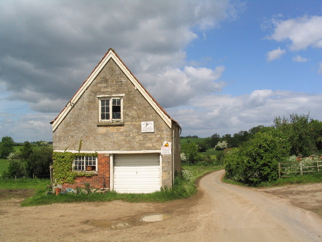
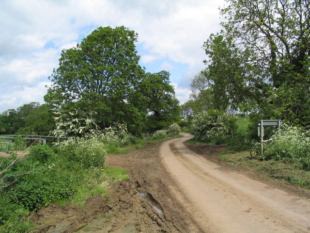
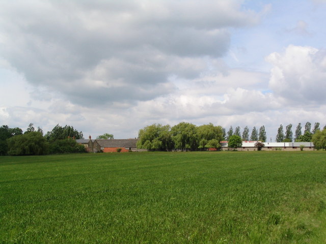
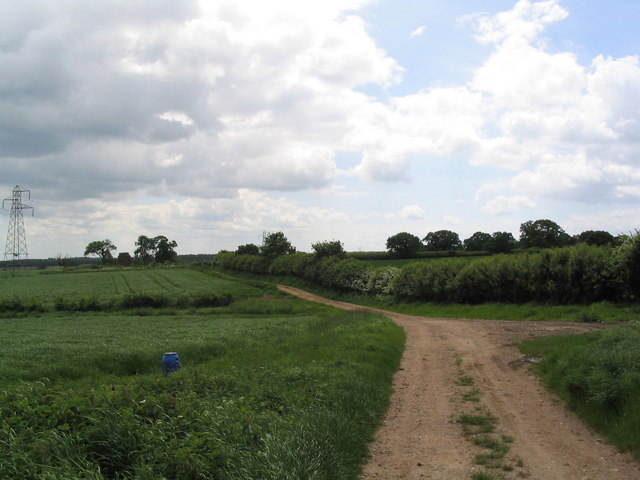
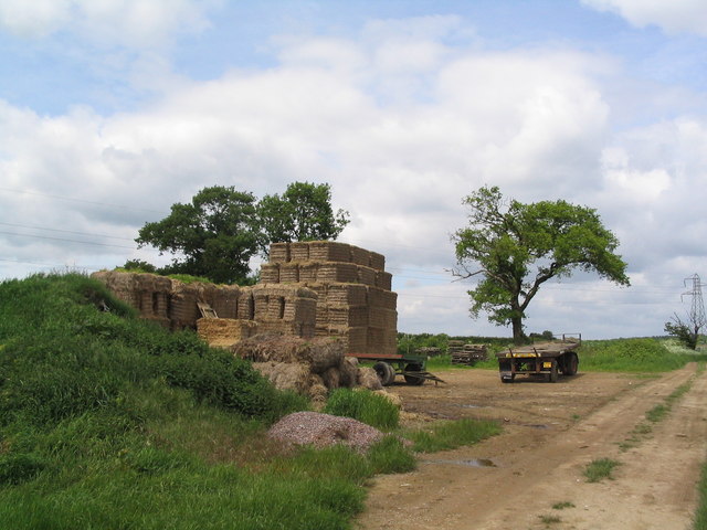
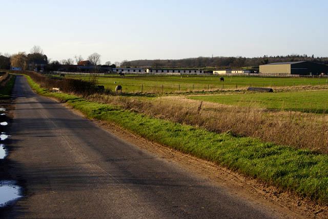
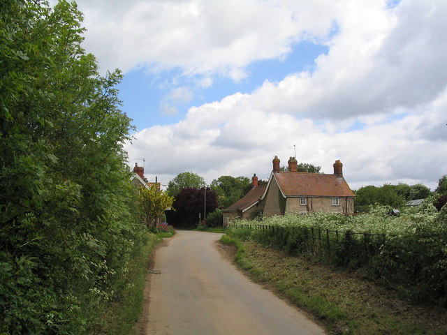
Scullar Wood Images

Images are sourced within 2km of 52.816097/-0.42307265 or Grid Reference TF0625. Thanks to Geograph Open Source API. All images are credited.

St.Mary & All Saints' church, Kirkby Underwood, Lincs. Slightly away from the village, up a narrow lane and surrounded by open farmland. Early English and Perpendicular.
St.Mary & All Saints' church, Kirkby Underwood, Lincs.
Slightly away from the village, up a narrow lane and surrounded by open farmland. Early English and Perpendicular.
Entrance to village of Bulby
Ford and bridge, entrance to Bulby
Entering Elsthorpe from Grimsthorpe A hamlet of half a dozen houses
Entering Elsthorpe from Grimsthorpe
A hamlet of half a dozen houses
Part of Brook Farm, Elsthorpe
Leaving Elsthorpe on the road to Bulby The bridge on the left crosses the East Glen River
Leaving Elsthorpe on the road to Bulby
The bridge on the left crosses the East Glen River
Elsthorpe Grange
Elsthorpe Grange
Track south from Hangmans Lane
Straw bales on track south from Hangman's lane One of a number of bale 'deposits' on this track through barley fields. When will we find a way of using them for energy?
Straw bales on track south from Hangman's lane
One of a number of bale 'deposits' on this track through barley fields. When will we find a way of using them for energy?
Transco gas station Transco high pressure gas station: location 191700 Kirkby Underwood
Transco gas station
Transco high pressure gas station: location 191700 Kirkby Underwood
King Street Roman Road course of, no surface evidence left This image shows no surface evidence of the Roman Road King Street which crossed this field, at this position, in a northwest--southeast direction. Perhaps the farmer finds too many stones when cultivating here, or is it a 6 metre strip round the field that he receives payment to leave uncultivated?
King Street Roman Road course of, no surface evidence left
This image shows no surface evidence of the Roman Road King Street which crossed this field, at this position, in a northwest--southeast direction. Perhaps the farmer finds too many stones when cultivating here, or is it a 6 metre strip round the field that he receives payment to leave uncultivated?
Stainfield Spa In 1720 a Dr Edward Greathead of Lincoln discovered the existence of mineral springs in the vicinity and a well house was built for the convenience of the many visitors, but nothing of this exists now apart from the name Spa Farm: a livery stable. The gap in the hedge is where the footpath exits onto the Kirky Underwood road.
Stainfield Spa
In 1720 a Dr Edward Greathead of Lincoln discovered the existence of mineral springs in the vicinity and a well house was built for the convenience of the many visitors, but nothing of this exists now apart from the name Spa Farm: a livery stable. The gap in the hedge is where the footpath exits onto the Kirky Underwood road.
Elsthorpe Road, Stainfield
Kirkby Underwood Road Looking towards Stainfield with Ringstone Wood to the left and Dunsby Wood straight ahead.
Kirkby Underwood Road
Looking towards Stainfield with Ringstone Wood to the left and Dunsby Wood straight ahead.
Stainfield Spa from the footpath access Standing on the stile on Kirkby Underwood Road.
Stainfield Spa from the footpath access
Standing on the stile on Kirkby Underwood Road.
Row Wood from Stainfield Road This deciduous woodland is mainly oak.
Row Wood from Stainfield Road
This deciduous woodland is mainly oak.
Callan's Lane Wood at dusk This is owned by the Forestry Commission and there is a network of surfaced and unsurfaced forest walks. The wood is a popular place with walkers and dog owners. There is a small carpark on Callan's Lane.
Callan's Lane Wood at dusk
This is owned by the Forestry Commission and there is a network of surfaced and unsurfaced forest walks. The wood is a popular place with walkers and dog owners. There is a small carpark on Callan's Lane.
Looking towards Spa Farm Spa Farm is a thriving riding centre. The row of white buildings is a stable block.
Looking towards Spa Farm
Spa Farm is a thriving riding centre. The row of white buildings is a stable block.
Show me another place!

Scullar Wood is located at Grid Ref: TF0625 (Lat: 52.816097, Lng: -0.42307265)

Administrative County: Lincolnshire

District: South Kesteven

Police Authority: Lincolnshire

What 3 Words

///flamingo.forces.glad. Near Bourne, Lincolnshire

Related Wikis

Bulby

Bulby is a hamlet in the South Kesteven district of Lincolnshire, England, and in the civil parish of Irnham, Bulby and Hawthorpe. The village is situated...

Stainfield near Bourne

Stainfield is a hamlet in the South Kesteven district of Lincolnshire, England. It is 3 miles (5 km) north from Bourne and 1 mile (1.6 km) west from the...

Elsthorpe

Elsthorpe is a hamlet in the South Kesteven district of Lincolnshire, England. It is situated 5 miles (8 km) north-west from the town of Bourne, and in...

Kirkby Underwood

Kirkby Underwood is a village and civil parish in the South Kesteven district of Lincolnshire, England. The population of the civil parish was 200 at the...

Hawthorpe, Lincolnshire

Hawthorpe is a hamlet in the South Kesteven district of Lincolnshire, England, and the civil parish of Irnham, Bulby and Hawthorpe. It is west from the...

Grimsthorpe

Grimsthorpe is a hamlet in the South Kesteven district of Lincolnshire, England. It is situated on the A151 road, and 3 miles (5 km) north-west from Bourne...
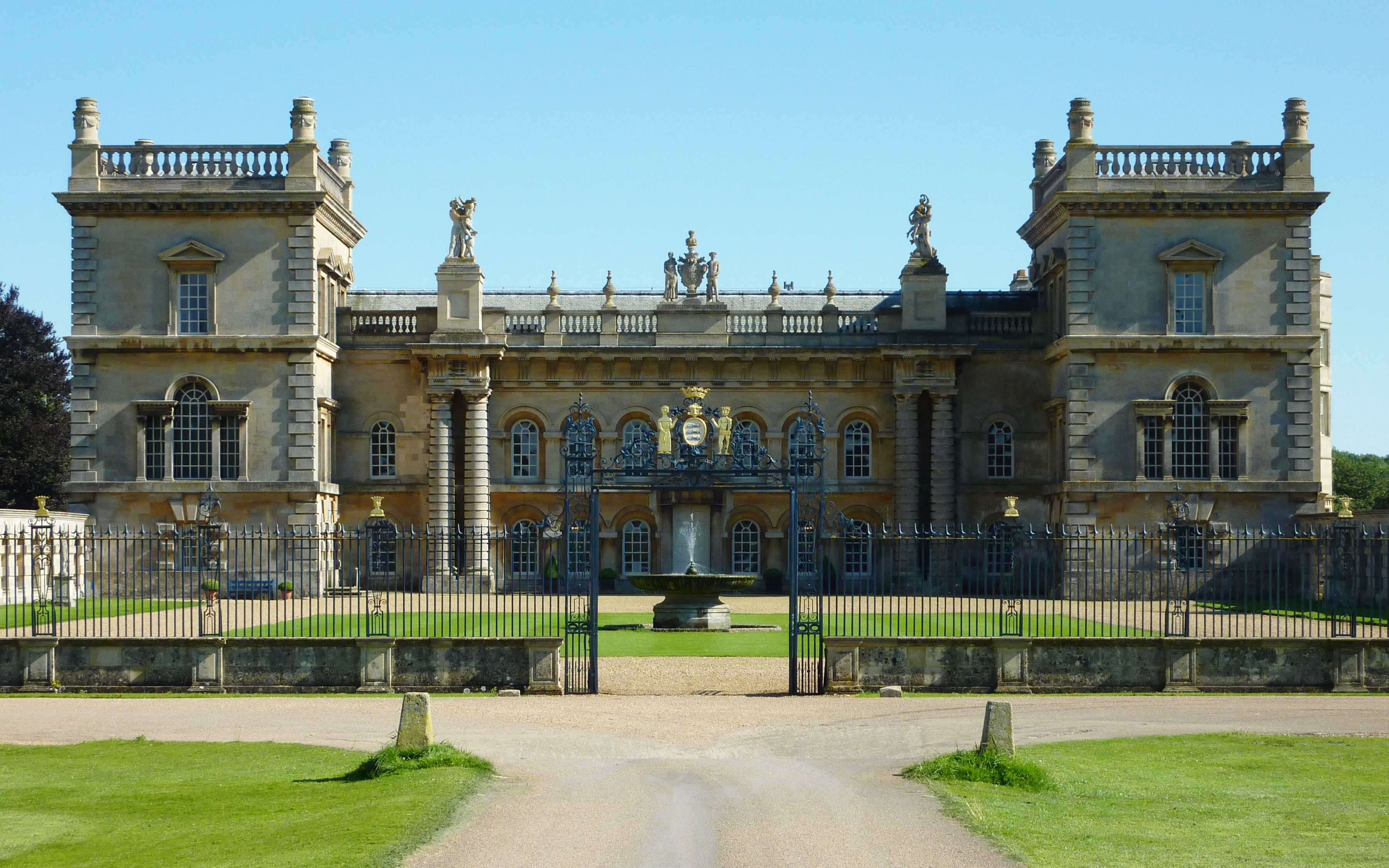
Grimsthorpe Castle

Grimsthorpe Castle is a country house in Lincolnshire, England 4 miles (6.4 km) north-west of Bourne on the A151. It lies within a 3,000 acre (12 km2)...

Edenham railway station

Edenham railway station was a station in Edenham, Lincolnshire. It was the terminus of a four-mile branch line from the Great Northern Railway at Little...

Have you been to Scullar Wood?

Leave your review of Scullar Wood below (or comments, questions and feedback).