Thorny Wood

Wood, Forest in Lincolnshire South Kesteven

England

Thorny Wood

St.Mary & All Saints' church, Kirkby Underwood, Lincs. Slightly away from the village, up a narrow lane and surrounded by open farmland. Early English and Perpendicular.
St.Mary & All Saints' church, Kirkby Underwood, Lincs. Credit: Richard Croft

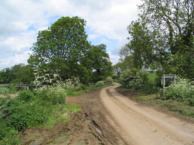
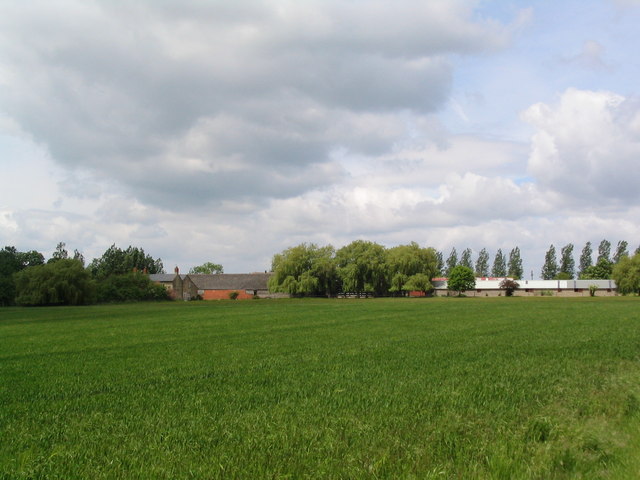
Thorny Wood is a dense forest located in Lincolnshire, England. Covering an area of approximately 50 square kilometers, it is known for its striking beauty and rich biodiversity. The forest is home to a variety of plant and animal species, making it an important ecological hotspot in the region.

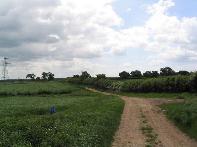
The wood gets its name from the abundance of thorny plants that grow within its boundaries. These thorny plants, including brambles and hawthorns, create a natural barrier, making the forest appear impenetrable from a distance. However, there are several well-marked trails that allow visitors to explore the wood and appreciate its natural wonders.

The forest is characterized by its lush greenery and tall, majestic trees, such as oak, ash, and beech. These trees provide a habitat for numerous bird species, including woodpeckers, owls, and various songbirds. The forest floor is also teeming with life, with small mammals like rabbits, squirrels, and hedgehogs scurrying about.

Thorny Wood has a rich history, with evidence of human habitation dating back to the Neolithic period. The remains of ancient settlements and burial mounds have been discovered within its boundaries, providing valuable insights into the region's past. The wood also served as a hunting ground for nobles and the royal family during medieval times.

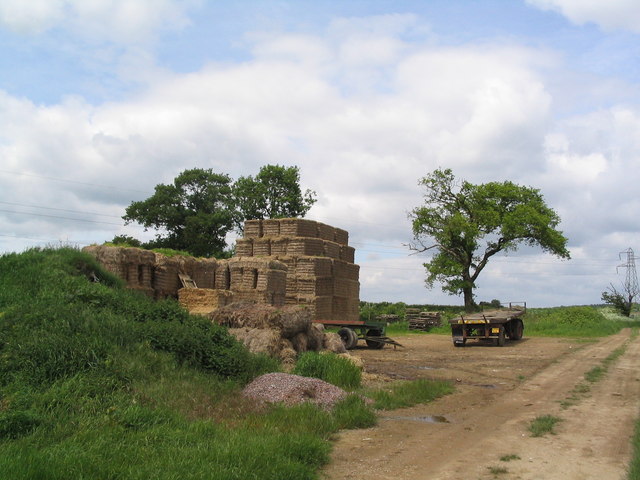
Today, Thorny Wood is a popular destination for nature enthusiasts, hikers, and wildlife photographers. Its tranquil atmosphere and diverse ecosystem make it an ideal place for those seeking solace in nature. The forest is managed by local authorities to ensure its preservation and protection for future generations to enjoy.

If you have any feedback on the listing, please let us know in the comments section below.
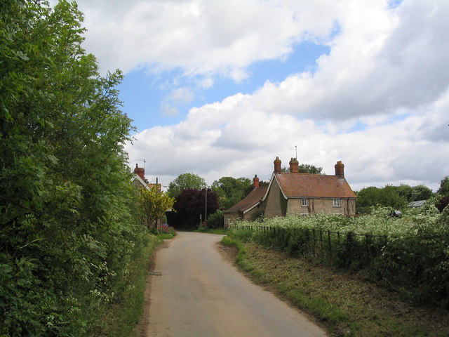
Thorny Wood Images

Images are sourced within 2km of 52.8191/-0.41428259 or Grid Reference TF0625. Thanks to Geograph Open Source API. All images are credited.

St.Mary & All Saints' church, Kirkby Underwood, Lincs. Slightly away from the village, up a narrow lane and surrounded by open farmland. Early English and Perpendicular.
St.Mary & All Saints' church, Kirkby Underwood, Lincs.
Slightly away from the village, up a narrow lane and surrounded by open farmland. Early English and Perpendicular.
Entrance to village of Bulby
Leaving Elsthorpe on the road to Bulby The bridge on the left crosses the East Glen River
Leaving Elsthorpe on the road to Bulby
The bridge on the left crosses the East Glen River
Elsthorpe Grange
Elsthorpe Grange
Track south from Hangmans Lane
Straw bales on track south from Hangman's lane One of a number of bale 'deposits' on this track through barley fields. When will we find a way of using them for energy?
Straw bales on track south from Hangman's lane
One of a number of bale 'deposits' on this track through barley fields. When will we find a way of using them for energy?
Village Hall, Kirkby Underwood, Lincs beside The Green.
Village Hall, Kirkby Underwood, Lincs
beside The Green.
Ye Olde Three Tuns cottage, Kirkby Underwood, Lincs a former pub, on the corner of Rippingale Road and Aslackby Road.
Ye Olde Three Tuns cottage, Kirkby Underwood, Lincs
a former pub, on the corner of Rippingale Road and Aslackby Road.
Entrance to the village, Kirkby Underwood, Lincs
Rippingale Road, Kirkby Underwood, Lincs
Transco gas station Transco high pressure gas station: location 191700 Kirkby Underwood
Transco gas station
Transco high pressure gas station: location 191700 Kirkby Underwood
King Street Roman Road course of, no surface evidence left This image shows no surface evidence of the Roman Road King Street which crossed this field, at this position, in a northwest--southeast direction. Perhaps the farmer finds too many stones when cultivating here, or is it a 6 metre strip round the field that he receives payment to leave uncultivated?
King Street Roman Road course of, no surface evidence left
This image shows no surface evidence of the Roman Road King Street which crossed this field, at this position, in a northwest--southeast direction. Perhaps the farmer finds too many stones when cultivating here, or is it a 6 metre strip round the field that he receives payment to leave uncultivated?
Stainfield Spa In 1720 a Dr Edward Greathead of Lincoln discovered the existence of mineral springs in the vicinity and a well house was built for the convenience of the many visitors, but nothing of this exists now apart from the name Spa Farm: a livery stable. The gap in the hedge is where the footpath exits onto the Kirky Underwood road.
Stainfield Spa
In 1720 a Dr Edward Greathead of Lincoln discovered the existence of mineral springs in the vicinity and a well house was built for the convenience of the many visitors, but nothing of this exists now apart from the name Spa Farm: a livery stable. The gap in the hedge is where the footpath exits onto the Kirky Underwood road.
Elsthorpe Road, Stainfield
Kirkby Underwood Road Looking towards Stainfield with Ringstone Wood to the left and Dunsby Wood straight ahead.
Kirkby Underwood Road
Looking towards Stainfield with Ringstone Wood to the left and Dunsby Wood straight ahead.
Stainfield Spa from the footpath access Standing on the stile on Kirkby Underwood Road.
Stainfield Spa from the footpath access
Standing on the stile on Kirkby Underwood Road.
Farmland near Stainfield Dunsby Wood is on the horizon.
Farmland near Stainfield
Dunsby Wood is on the horizon.
Row Wood from Stainfield Road This deciduous woodland is mainly oak.
Row Wood from Stainfield Road
This deciduous woodland is mainly oak.
Show me another place!

Thorny Wood is located at Grid Ref: TF0625 (Lat: 52.8191, Lng: -0.41428259)

Administrative County: Lincolnshire

District: South Kesteven

Police Authority: Lincolnshire

What 3 Words

///purple.cookery.hammocks. Near Bourne, Lincolnshire

Related Wikis

Stainfield near Bourne

Stainfield is a hamlet in the South Kesteven district of Lincolnshire, England. It is 3 miles (5 km) north from Bourne and 1 mile (1.6 km) west from the...

Kirkby Underwood

Kirkby Underwood is a village and civil parish in the South Kesteven district of Lincolnshire, England. The population of the civil parish was 200 at the...

Bulby

Bulby is a hamlet in the South Kesteven district of Lincolnshire, England, and in the civil parish of Irnham, Bulby and Hawthorpe. The village is situated...

Elsthorpe

Elsthorpe is a hamlet in the South Kesteven district of Lincolnshire, England. It is situated 5 miles (8 km) north-west from the town of Bourne, and in...

Hawthorpe, Lincolnshire

Hawthorpe is a hamlet in the South Kesteven district of Lincolnshire, England, and the civil parish of Irnham, Bulby and Hawthorpe. It is west from the...

Morton and Hanthorpe

Morton and Hanthorpe is a civil parish, formerly known as Morton by Bourne in the South Kesteven district of Lincolnshire, England. It is situated 2 miles...

Aveland

Aveland was a Wapentake of Kesteven from the time of the Danelaw until the Local Government Act 1888. Its meeting place was The Aveland at grid reference...

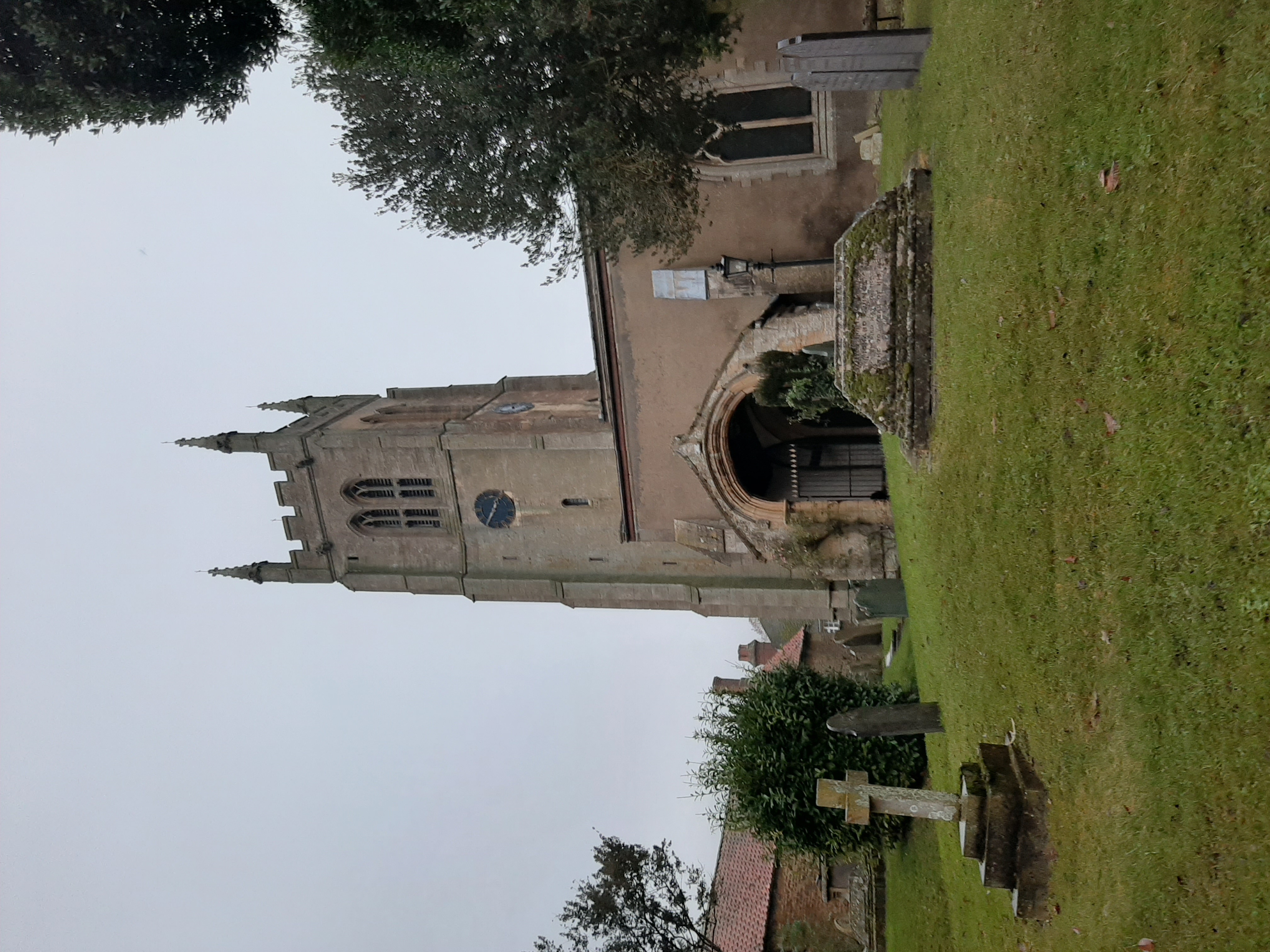
St Andrew's Church, Rippingale

The Church of St Andrew in Rippingale, Lincolnshire, England, is a Grade Iā€“listed Anglican church. The earliest phase of the church dates back to the mid...

Nearby Amenities

Located within 500m of 52.8191,-0.41428259
Power: tower
Lat/Long: 52.8180207/-0.407422
The data included in this document is from www.openstreetmap.org. The data is made available under ODbL.

Have you been to Thorny Wood?

Leave your review of Thorny Wood below (or comments, questions and feedback).