Badgerdell Wood
Wood, Forest in Bedfordshire
England
Badgerdell Wood
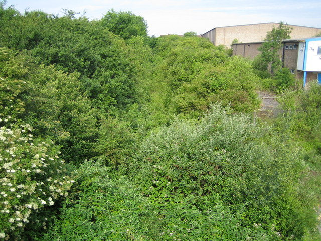
Badgerdell Wood is a picturesque woodland located in the county of Bedfordshire, England. Covering an area of approximately 50 acres, this enchanting forest is a popular destination for nature lovers and outdoor enthusiasts.
The woodland is characterized by a diverse range of trees, including oak, birch, and beech, which create a rich canopy overhead. The forest floor is adorned with a carpet of wildflowers and ferns, adding to the natural beauty of the surroundings. Various species of birds, such as woodpeckers, owls, and songbirds, can be spotted flitting between the branches, filling the air with their melodic tunes.
Badgerdell Wood is known for its tranquil atmosphere, providing visitors with the opportunity to escape the hustle and bustle of everyday life. The well-maintained paths meander through the woodland, allowing visitors to explore the area at their own pace. The sound of rustling leaves underfoot and the scent of fresh pine create a sensory experience that is both calming and rejuvenating.
The wood is also home to a plethora of wildlife, including badgers, deer, and foxes, which can occasionally be spotted by lucky onlookers. These animals contribute to the biodiversity of the area, making Badgerdell Wood an important habitat for local wildlife.
Whether it's a leisurely stroll, a picnic on the grassy meadows, or a wildlife-spotting adventure, Badgerdell Wood offers visitors a chance to connect with nature and appreciate the beauty of the Bedfordshire countryside.
If you have any feedback on the listing, please let us know in the comments section below.
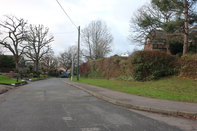
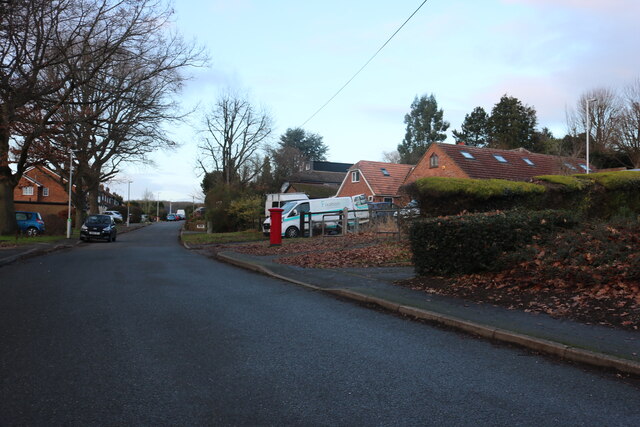
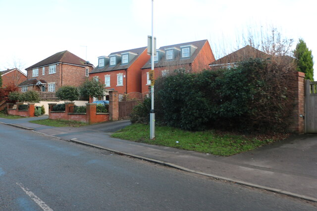
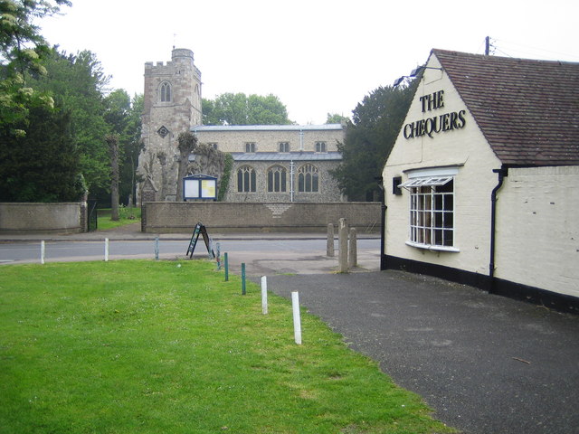
Badgerdell Wood Images
Images are sourced within 2km of 51.876994/-0.45772264 or Grid Reference TL0620. Thanks to Geograph Open Source API. All images are credited.


Badgerdell Wood is located at Grid Ref: TL0620 (Lat: 51.876994, Lng: -0.45772264)
Unitary Authority: Central Bedfordshire
Police Authority: Bedfordshire
What 3 Words
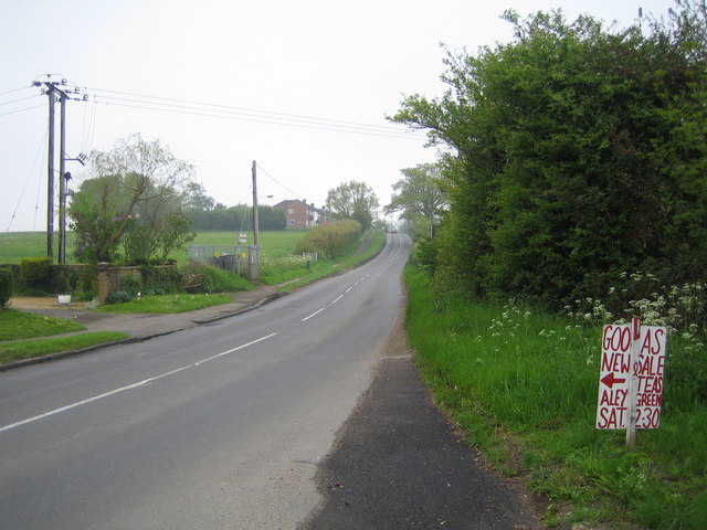
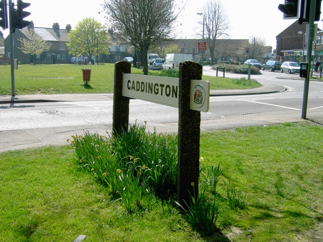
///colleague.spot.racing. Near Caddington, Bedfordshire
Nearby Locations
Related Wikis
Chaul End railway station
Chaul End was a temporary railway halt on the Great Northern Railway's branch line from Welwyn which served a munitions factory near Luton during the First...

Caddington
Caddington is a village and civil parish in the Central Bedfordshire district of Bedfordshire, England. It is south of Luton. The western border of the...

Rabia School
Rabia School was a private Islamic faith school located in Luton, Bedfordshire, England. The school was owned and operated by a charitable trust (Rabia...
The 61 F.C. (Luton)
The 61 Football Club (Luton) is a football club based in Luton, Bedfordshire, England. The club is affiliated to the Bedfordshire County Football Association...

Dallow
Dallow is an inner area of Luton about a half mile (0.8 km) west of the town centre and a ward of the Borough of Luton, in the ceremonial county of Bedfordshire...
Stockwood Park Academy
The Stockwood Park Academy is a Mixed secondary school and sixth form located in Rotheram Avenue Luton, Bedfordshire, England and is part of The Shared...
Farley Hill, Luton
Farley Hill is a suburb of south Luton, Bedfordshire, England. The area is roughly bounded by the Dallow Downs to the north and north-east, Stockwood Park...
Zouches Farm transmitting station
Zouches Farm transmitting station is a microwave radio link site located near the top of Blows Downs at Zouches Farm, Caddington, Bedfordshire, England...
Nearby Amenities
Located within 500m of 51.876994,-0.45772264Have you been to Badgerdell Wood?
Leave your review of Badgerdell Wood below (or comments, questions and feedback).