Chantry Wood

Wood, Forest in Surrey Guildford

England

Chantry Wood

Direction Sign – Signpost on Upper Street, Shere Located on the north side of the junction of Upper Street and Middle Street in Shere parish. 3 arms and cone finial.

Milestone Society National ID: SY_TQ0747
Direction Sign – Signpost on Upper Street, Shere Credit: John V Nicholls

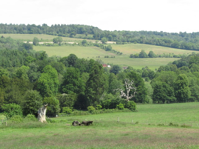
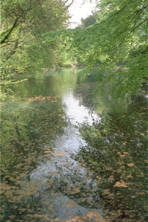
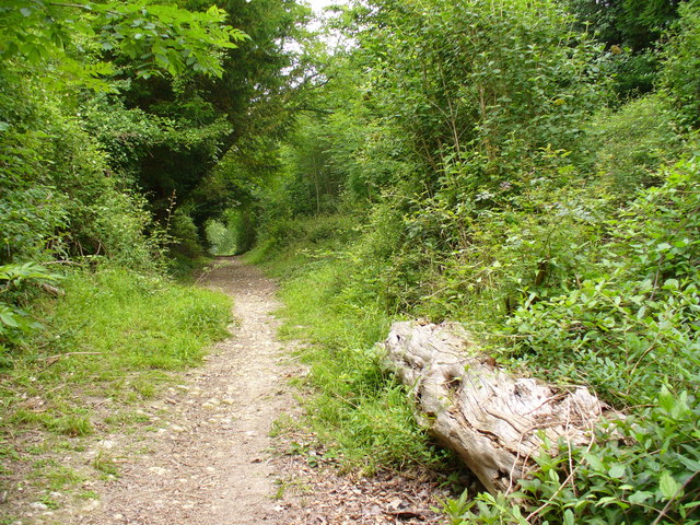
Chantry Wood is a picturesque woodland located in the county of Surrey, England. Covering an area of approximately 200 acres, it is a popular destination for nature enthusiasts and those seeking a peaceful escape from the bustling city life. The wood is situated near the village of Guildford, just a short distance from the town center.

Characterized by its dense, ancient trees and diverse wildlife, Chantry Wood offers visitors a tranquil environment to explore and immerse themselves in nature. The wood is primarily composed of native tree species, including oak, beech, and birch, creating a vibrant and ever-changing landscape throughout the seasons. Bluebells carpet the forest floor in spring, creating a stunning display of colorful flowers.

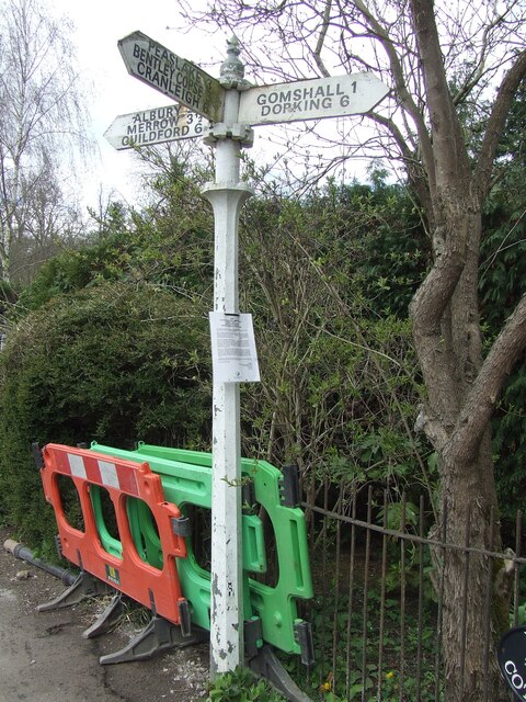
The woodland is crisscrossed by a network of well-maintained footpaths and trails, allowing visitors to easily navigate and discover its hidden treasures. These paths lead to various points of interest, including a small pond and a conveniently located picnic area for visitors to enjoy a leisurely lunch amidst the natural surroundings.

Chantry Wood also provides a habitat for a wide range of wildlife species. Birdwatchers will delight in the opportunity to spot native and migratory birds, such as woodpeckers and nuthatches. Additionally, the wood is home to various mammals, including deer, foxes, and squirrels, which can often be observed going about their daily activities.

With its serene atmosphere and natural beauty, Chantry Wood offers a rejuvenating experience for all who visit, making it a cherished destination for both locals and tourists alike.

If you have any feedback on the listing, please let us know in the comments section below.

Chantry Wood Images

Images are sourced within 2km of 51.233396/-0.4792803 or Grid Reference TQ0649. Thanks to Geograph Open Source API. All images are credited.

Direction Sign – Signpost on Upper Street, Shere Located on the north side of the junction of Upper Street and Middle Street in Shere parish. 3 arms and cone finial.

Milestone Society National ID: SY_TQ0747
Direction Sign – Signpost on Upper Street, Shere
Located on the north side of the junction of Upper Street and Middle Street in Shere parish. 3 arms and cone finial. Milestone Society National ID: SY_TQ0747
Albury Park entrance and lodge An entrance to Albury Park, in Surrey.  The building to the left of the entrance is a lodge.
Albury Park entrance and lodge
An entrance to Albury Park, in Surrey. The building to the left of the entrance is a lodge.
A248 road at Albury A double bend on the A248 road as it enters the village of Albury.
A248 road at Albury
A double bend on the A248 road as it enters the village of Albury.
A25 road near Albury A view eastwards along the A25 road between Albury and Shere in Surrey.  The building on the opposite side of the road is Home Farm.
A25 road near Albury
A view eastwards along the A25 road between Albury and Shere in Surrey. The building on the opposite side of the road is Home Farm.
Upper Street, Shere Upper Street entering the village of Shere in Surrey.  The speed limit drops to 20 miles per hour through the village.
Upper Street, Shere
Upper Street entering the village of Shere in Surrey. The speed limit drops to 20 miles per hour through the village.
Upper Street, Shere Upper Street in the Surrey village of Shere.
Upper Street, Shere
Upper Street in the Surrey village of Shere.
Upper Street, Shere Upper Street in the Surrey village of Shere.
Upper Street, Shere
Upper Street in the Surrey village of Shere.
Shere village centre A road junction in the centre of the village of Shere in Surrey.
Shere village centre
A road junction in the centre of the village of Shere in Surrey.
Middle Street, Shere Middle Street in the village of Shere in Surrey.  To the right of the image is a pub called The White Horse.
Middle Street, Shere
Middle Street in the village of Shere in Surrey. To the right of the image is a pub called The White Horse.
Albury - Pastoral Landscape Green fields and woodland on the hillside south-east of the village. In the background is the scarp slope of the North Downs east of Newlands Corner.
Albury - Pastoral Landscape
Green fields and woodland on the hillside south-east of the village. In the background is the scarp slope of the North Downs east of Newlands Corner.
Shere - Crumbs The village bread shop's window carried a display of Union flags commemorating the Queen's Platinum Jubilee (1952-2022) and a Ukraine flag to support that country as it was being invaded by Russia.
Shere - Crumbs
The village bread shop's window carried a display of Union flags commemorating the Queen's Platinum Jubilee (1952-2022) and a Ukraine flag to support that country as it was being invaded by Russia.
Shere - Platinum Jubilee Year Shere's Middle Street had strings of red, white and blue bunting to commemorate the Queen's Platinum Jubilee (1952-2022). The grey wooden building on the left was the village's fire station.
Shere - Platinum Jubilee Year
Shere's Middle Street had strings of red, white and blue bunting to commemorate the Queen's Platinum Jubilee (1952-2022). The grey wooden building on the left was the village's fire station.
Shere - Platinum Jubilee Display A patriotic show of flag, red white and blue on Shere's Middle Street.
Shere - Platinum Jubilee Display
A patriotic show of flag, red white and blue on Shere's Middle Street.
Shere - Gomshall Lane Shere Museum occupies the red brick building while the Village Hall occupies the neighbouring white building.
Shere - Gomshall Lane
Shere Museum occupies the red brick building while the Village Hall occupies the neighbouring white building.
Shere - Kinghams Chocolate box 17th century cottage on Gomshall Lane; now a restaurant.
<span class="nowrap"><a title="www.kinghams-restaurant.co.uk" rel="nofollow ugc noopener" href="http://www.kinghams-restaurant.co.uk">Link</a><img style="margin-left:2px;" alt="External link" title="External link - shift click to open in new window" src="https://s1.geograph.org.uk/img/external.png" width="10" height="10"/></span>
Shere - Kinghams
Chocolate box 17th century cottage on Gomshall Lane; now a restaurant. LinkExternal link
Shere - Support for Ukraine A yew outside Shere's parish church was festooned with blue and yellow ribbons in support of Ukraine as that country suffers under Russian invasion (2022).
Shere - Support for Ukraine
A yew outside Shere's parish church was festooned with blue and yellow ribbons in support of Ukraine as that country suffers under Russian invasion (2022).
Shere - Church Bell One of St James Church's 8 bells - the 4th bell was cast in 1712 and had been found to be cracked, hence recast in the Loughborough Bell Foundry 2022. It was on display within Shere Church prior to being rehung with its 1976 Whitechapel fittings.
Shere - Church Bell
One of St James Church's 8 bells - the 4th bell was cast in 1712 and had been found to be cracked, hence recast in the Loughborough Bell Foundry 2022. It was on display within Shere Church prior to being rehung with its 1976 Whitechapel fittings.
Shere - Font Lid Within the parish church, St James. The lid covers a square Norman font, dated ca 1200.
Shere - Font Lid
Within the parish church, St James. The lid covers a square Norman font, dated ca 1200.
Show me another place!

Chantry Wood is located at Grid Ref: TQ0649 (Lat: 51.233396, Lng: -0.4792803)

Administrative County: Surrey

District: Guildford

Police Authority: Surrey

What 3 Words

///sadly.backed.flute. Near West Clandon, Surrey

Related Wikis

Silent Pool

Silent Pool is a spring-fed lake at the foot of the North Downs, about 4 miles (6 km) east of Guildford in Surrey. The outflow from Silent Pool runs into...

Combe Bottom

Combe Bottom is a 42.1-hectare (104-acre) biological Site of Special Scientific Interest north of Shere in Surrey. It is designated a Local Nature Reserve...

Old St Peter and St Paul's Church, Albury

Old St Peter and St Paul's Church is a former Anglican church near the village of Albury, Surrey, England in the care of The Churches Conservation Trust...
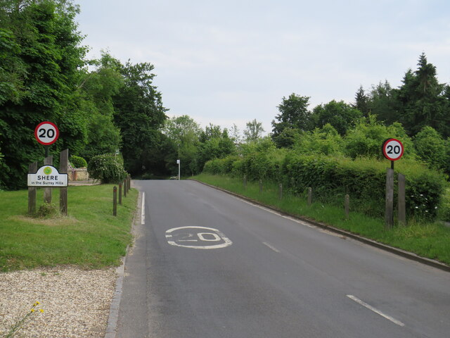
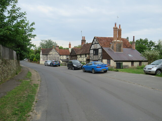
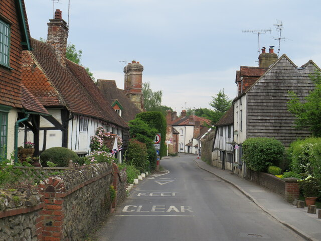
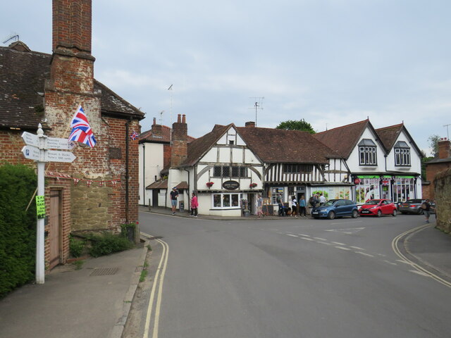
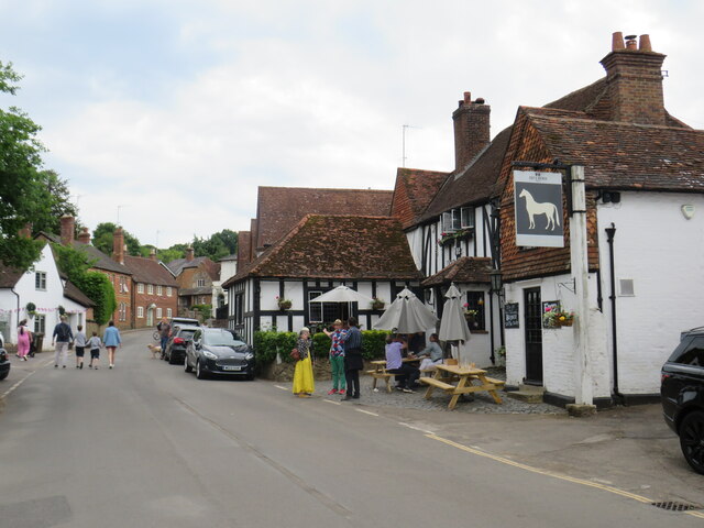
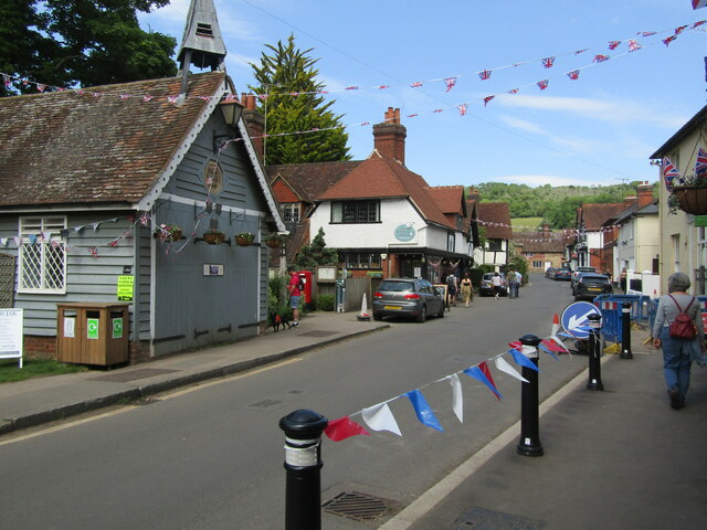
Shere

Shere is a village in the Guildford district of Surrey, England 4.8 miles (7.7 km) east south-east of Guildford and 5.4 miles (8.7 km) west of Dorking...

Albury Park

Albury Park is a country park and Grade II* listed historic country house (Albury Park Mansion) in Surrey, England. It covers over 150 acres (0.61 km2...

Newlands Corner

Newlands Corner is a 103-hectare (250-acre) nature reserve east of Guildford in Surrey, England. It is owned by the Albury Estate. It used to be managed...

Upper Common Pits

Upper Common Pits is a 3-hectare (7.4-acre) geological Site of Special Scientific Interest in the north of Gomshall in Surrey. It is a Geological Conservation...

East Clandon

East Clandon is a village and civil parish in Surrey, England on the A246 between the towns of Guildford to the west and Leatherhead to the east. Neighbouring...

Nearby Amenities

Located within 500m of 51.233396,-0.4792803
Tourism: viewpoint
Lat/Long: 51.2302541/-0.4772072
Source: local knowledge
Sport: shooting
Lat/Long: 51.2338222/-0.4795978
West Hanger
Natural: wood
Source: photo
Lat/Long: 51.2320023/-0.4727152
West Hanger
Information: guidepost
Tourism: information
Lat/Long: 51.2319905/-0.4782457
Information: guidepost
Tourism: information
Lat/Long: 51.23179/-0.4813553
The data included in this document is from www.openstreetmap.org. The data is made available under ODbL.

Have you been to Chantry Wood?

Leave your review of Chantry Wood below (or comments, questions and feedback).