Bush Wood
Wood, Forest in Bedfordshire
England
Bush Wood
Bush Wood is a picturesque woodland located in the county of Bedfordshire, England. Stretching across an area of approximately 200 acres, it is a remarkable example of a mixed deciduous forest. Situated in close proximity to the village of Flitwick, Bush Wood offers a peaceful and tranquil escape from the hustle and bustle of urban life.
The woodland is characterized by a diverse range of tree species, including oak, beech, birch, and ash, providing a rich and vibrant tapestry of colors throughout the seasons. A dense undergrowth of ferns, bluebells, and wildflowers adds to the natural beauty of the wood, creating a haven for wildlife.
Bush Wood is home to a variety of animal species, attracting nature enthusiasts and wildlife photographers alike. Visitors can spot a wide range of birds, such as woodpeckers, nuthatches, and owls, as well as small mammals like squirrels and foxes. The wood is also known for its population of deer, which can often be seen grazing peacefully in clearings or darting through the trees.
Several well-maintained walking trails wind their way through Bush Wood, allowing visitors to explore its enchanting beauty. The wood also features picnic areas, making it an ideal spot for families and friends to enjoy a day out surrounded by nature.
Managed by the local council, Bush Wood remains a cherished natural asset for the local community and visitors alike, providing a serene and immersive experience in the heart of Bedfordshire.
If you have any feedback on the listing, please let us know in the comments section below.
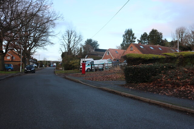
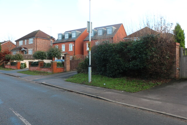
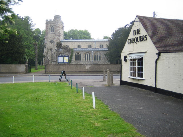
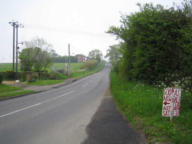
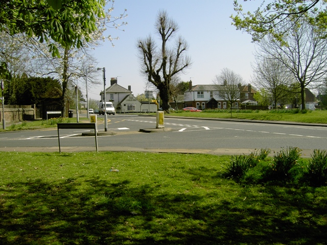
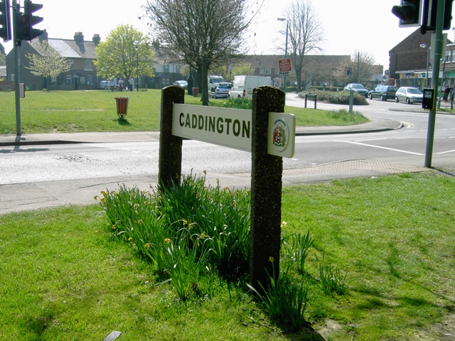
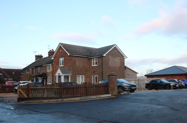
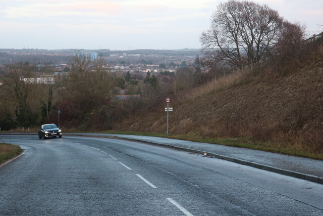
Bush Wood Images
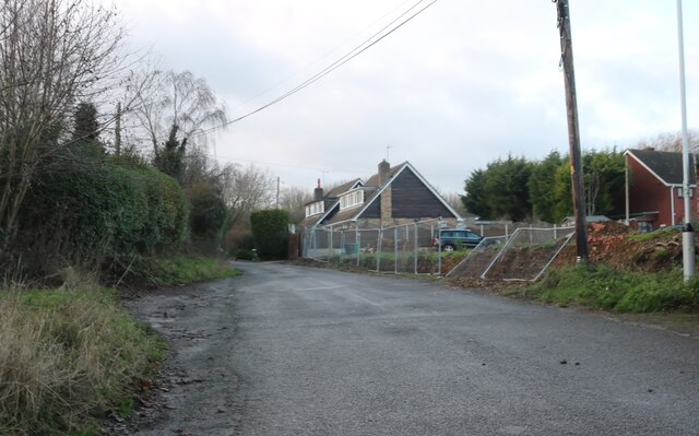
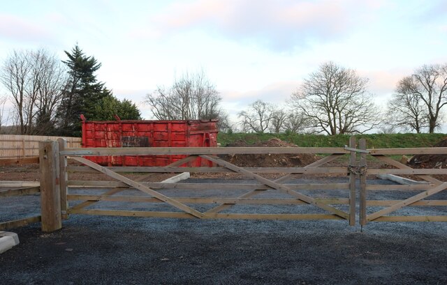
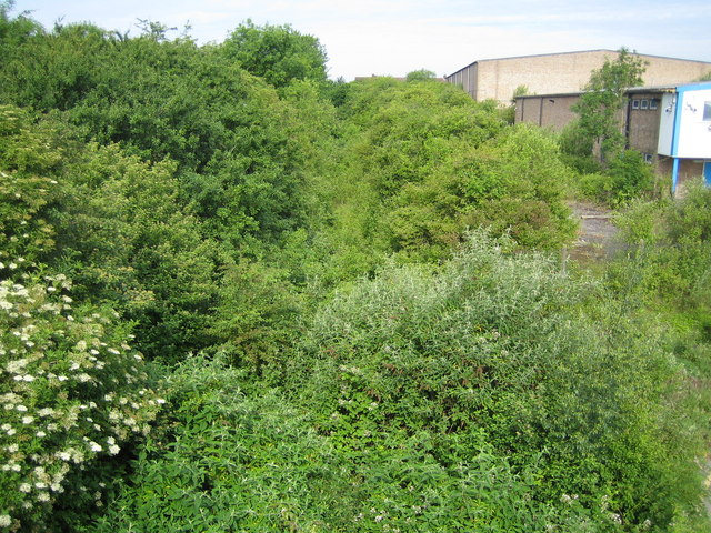
Images are sourced within 2km of 51.877924/-0.46004435 or Grid Reference TL0621. Thanks to Geograph Open Source API. All images are credited.


Bush Wood is located at Grid Ref: TL0621 (Lat: 51.877924, Lng: -0.46004435)
Unitary Authority: Central Bedfordshire
Police Authority: Bedfordshire
What 3 Words
///successes.horses.area. Near Caddington, Bedfordshire
Nearby Locations
Related Wikis
Chaul End railway station
Chaul End was a temporary railway halt on the Great Northern Railway's branch line from Welwyn which served a munitions factory near Luton during the First...

Skimpot
Skimpot is a suburb of Luton, in Bedfordshire, England. The area is roughly bounded by Dunstable Road to the north, Hatters Way to the south, Skimpot Road...
Zouches Farm transmitting station
Zouches Farm transmitting station is a microwave radio link site located near the top of Blows Downs at Zouches Farm, Caddington, Bedfordshire, England...
The 61 F.C. (Luton)
The 61 Football Club (Luton) is a football club based in Luton, Bedfordshire, England. The club is affiliated to the Bedfordshire County Football Association...
Nearby Amenities
Located within 500m of 51.877924,-0.46004435Have you been to Bush Wood?
Leave your review of Bush Wood below (or comments, questions and feedback).