Blake Wood
Wood, Forest in Sussex Horsham
England
Blake Wood

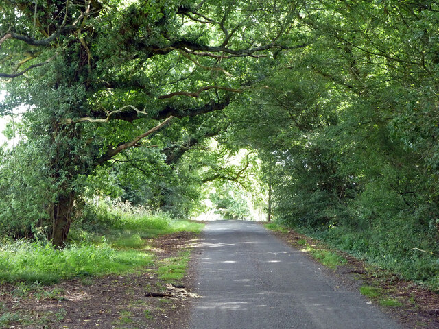
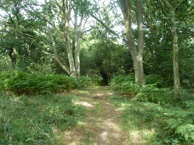
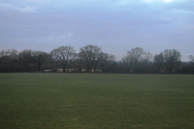
Blake Wood is a pristine forest located in Sussex, England. Spanning an impressive area, it is known for its natural beauty and diverse ecosystem. The wood is situated in a serene and secluded environment, providing a peaceful retreat for nature enthusiasts and hikers alike.
The forest is predominantly composed of a mix of deciduous and evergreen trees, including oak, beech, and pine. This variety of tree species creates a rich tapestry of colors throughout the year, with vibrant greens in the warmer months and stunning autumnal hues during fall. The dense foliage provides ample shade, making it an ideal spot for picnics or leisurely walks on sunny days.
Blake Wood is also home to a wide array of wildlife. Birdwatchers will delight in the opportunity to spot rare species such as the green woodpecker and tawny owl, while small mammals like squirrels and rabbits can often be seen scurrying through the undergrowth. The presence of deer adds to the enchanting atmosphere, as they gracefully roam through the forest.
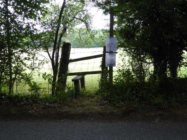
The wood offers a network of well-maintained footpaths and trails, catering to both casual strollers and more experienced hikers. These paths wind through the forest, providing access to hidden gems such as tranquil ponds and babbling brooks. The sound of rustling leaves and the scent of pine needles create a sensory experience, immersing visitors in the natural wonders of Blake Wood.
Overall, Blake Wood in Sussex is a haven for nature lovers, offering a picturesque setting, diverse flora and fauna, and a range of recreational activities. Whether seeking solitude or adventure, this forest provides an exceptional opportunity to connect with the beauty of the natural world.
If you have any feedback on the listing, please let us know in the comments section below.
Blake Wood Images
Images are sourced within 2km of 50.982816/-0.48988917 or Grid Reference TQ0621. Thanks to Geograph Open Source API. All images are credited.


Blake Wood is located at Grid Ref: TQ0621 (Lat: 50.982816, Lng: -0.48988917)
Administrative County: West Sussex
District: Horsham
Police Authority: Sussex
What 3 Words
///plunger.adjuster.quirky. Near Pulborough, West Sussex
Nearby Locations
Related Wikis

North Heath
North Heath is a hamlet in the Horsham District of West Sussex, England. It lies just off the A29 road 1.9 miles (3 km) north of Pulborough. The Brinsbury...
Codmore Hill
Codmore Hill is a hamlet in the Horsham District of West Sussex, England. It lies on the A29 road 1 mile (1.6 km) north of Pulborough. It is in the civil...

Upper Arun
Upper Arun is a 17.6-hectare (43-acre) biological Site of Special Scientific Interest between Billingshurst and Pulborough in West Sussex.This 13-kilometre...

Gay Street, West Sussex
Gay Street is a hamlet in the Horsham District of West Sussex, England. It lies on the North Heath to West Chiltington road 1.9 miles (3.1 km) northeast...
Nearby Amenities
Located within 500m of 50.982816,-0.48988917Have you been to Blake Wood?
Leave your review of Blake Wood below (or comments, questions and feedback).