Brandicar Covert

Wood, Forest in Lincolnshire

England

Brandicar Covert

Cropmarks on fields at North Kelsey Moor: aerial 2021 (1) In triangle formed by railway, Cutley Beck/Fieldhouse Farm and Station Road. Multiple cropmarks on these fields.
Cropmarks on fields at North Kelsey Moor: aerial 2021 (1) Credit: Simon Tomson

Brandicar Covert is a small woodland located in the county of Lincolnshire, England. Situated near the village of Brandicar, it covers an area of approximately 20 acres. The woodland is primarily made up of deciduous trees, including oak, ash, and birch, creating a picturesque and diverse landscape.

Visitors to Brandicar Covert can expect to find a peaceful and tranquil environment, perfect for nature lovers and outdoor enthusiasts. The woodland provides a habitat for a variety of wildlife, including birds, squirrels, and deer, making it a popular spot for birdwatching and wildlife photography.

The woodland also offers several walking trails, allowing visitors to explore its beautiful surroundings. These paths wind through the trees, leading to clearings and open spaces, providing opportunities for picnicking and relaxation. The dense canopy of the trees provides shade during hot summer months, making it a pleasant place to escape the heat.

Brandicar Covert is well-maintained, with regular conservation efforts to preserve its natural beauty and protect the flora and fauna. The woodland is accessible to the public, and there are no admission fees or restrictions on visiting hours.

Overall, Brandicar Covert in Lincolnshire offers a delightful escape into nature, providing a serene and enchanting experience for those seeking solace in the great outdoors.

If you have any feedback on the listing, please let us know in the comments section below.

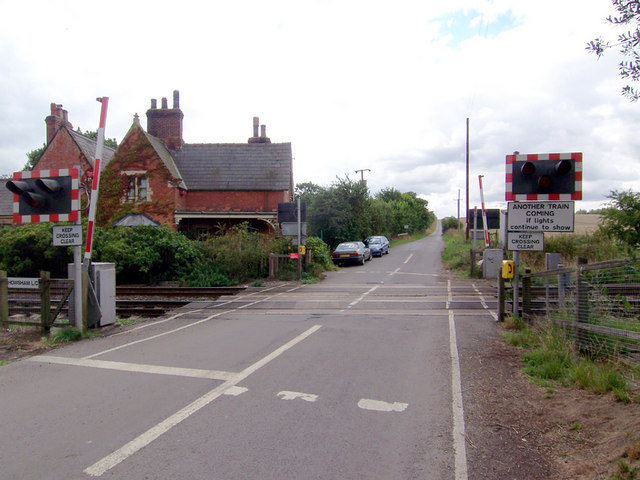
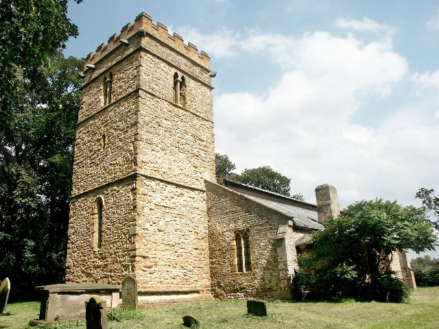
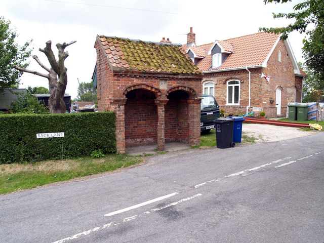
Brandicar Covert Images

Images are sourced within 2km of 53.517203/-0.40981319 or Grid Reference TA0503. Thanks to Geograph Open Source API. All images are credited.

Cropmarks on fields at North Kelsey Moor: aerial 2021 (1) In triangle formed by railway, Cutley Beck/Fieldhouse Farm and Station Road. Multiple cropmarks on these fields.
Cropmarks on fields at North Kelsey Moor: aerial 2021 (1)
In triangle formed by railway, Cutley Beck/Fieldhouse Farm and Station Road. Multiple cropmarks on these fields.
Cropmarks on fields at North Kelsey Moor: aerial 2021 (2) In triangle formed by railway, Cutley Beck/Fieldhouse Farm and Station Road. Multiple cropmarks on these fields.
Cropmarks on fields at North Kelsey Moor: aerial 2021 (2)
In triangle formed by railway, Cutley Beck/Fieldhouse Farm and Station Road. Multiple cropmarks on these fields.
Cropmarks on fields at North Kelsey Moor: aerial 2021 (3) In triangle formed by railway, Cutley Beck/Fieldhouse Farm and Station Road. Multiple cropmarks on these fields.
Cropmarks on fields at North Kelsey Moor: aerial 2021 (3)
In triangle formed by railway, Cutley Beck/Fieldhouse Farm and Station Road. Multiple cropmarks on these fields.
Cropmarks on fields at North Kelsey Moor: aerial 2021 (4) In triangle formed by railway, Cutley Beck/Fieldhouse Farm and Station Road. Multiple cropmarks on these fields.
Cropmarks on fields at North Kelsey Moor: aerial 2021 (4)
In triangle formed by railway, Cutley Beck/Fieldhouse Farm and Station Road. Multiple cropmarks on these fields.
Cropmarks on fields at North Kelsey Moor: aerial 2021 (5) In triangle formed by railway, Cutley Beck and Fieldhouse Farm. Multiple cropmarks on these fields.
Cropmarks on fields at North Kelsey Moor: aerial 2021 (5)
In triangle formed by railway, Cutley Beck and Fieldhouse Farm. Multiple cropmarks on these fields.
Cropmarks on fields at North Kelsey Moor: aerial 2021 (6) In triangle formed by railway, Cutley Beck/Fieldhouse Farm and Station Road. Multiple cropmarks on these fields.
Cropmarks on fields at North Kelsey Moor: aerial 2021 (6)
In triangle formed by railway, Cutley Beck/Fieldhouse Farm and Station Road. Multiple cropmarks on these fields.
Cropmarks on fields at North Kelsey Moor: aerial 2021 (7) In triangle formed by railway, Cutley Beck/Fieldhouse Farm and Station Road. Multiple cropmarks on these fields.
Cropmarks on fields at North Kelsey Moor: aerial 2021 (7)
In triangle formed by railway, Cutley Beck/Fieldhouse Farm and Station Road. Multiple cropmarks on these fields.
Cropmarks on fields at North Kelsey Moor: aerial 2021 (8) In triangle formed by railway, Cutley Beck/Fieldhouse Farm and Station Road. Multiple cropmarks on these fields.
Cropmarks on fields at North Kelsey Moor: aerial 2021 (8)
In triangle formed by railway, Cutley Beck/Fieldhouse Farm and Station Road. Multiple cropmarks on these fields.
North Kelsey Moor: aerial 2021 Cropmarks in fields west of railway - see <a href="https://www.geograph.org.uk/photo/6925070">TA0602 : Cropmarks on fields at North Kelsey Moor: aerial 2021 (4)</a>.
North Kelsey Moor: aerial 2021
Cropmarks in fields west of railway - see TA0602 : Cropmarks on fields at North Kelsey Moor: aerial 2021 (4).
Countryside south of Howsham
Little London Lane, North Kelsey
North Kelsey Beck
North Kelsey Beck
Howsham, Former School On the right-hand angle of this former school is a cut benchmark.  See <a title="https://www.geograph.org.uk/photo/7445972" href="https://www.geograph.org.uk/photo/7445972">Link</a> for a closer view and <span class="nowrap"><a title="https://www.bench-marks.org.uk/bm183893" rel="nofollow ugc noopener" href="https://www.bench-marks.org.uk/bm183893">Link</a><img style="margin-left:2px;" alt="External link" title="External link - shift click to open in new window" src="https://s1.geograph.org.uk/img/external.png" width="10" height="10"/></span> for details of the mark.
Howsham, Former School
On the right-hand angle of this former school is a cut benchmark. See Link for a closer view and LinkExternal link for details of the mark.
Cut Benchmark on Former School at Howsham Cut benchmark on the former school.  See <a title="https://www.geograph.org.uk/photo/7445970" href="https://www.geograph.org.uk/photo/7445970">Link</a> for a wider a view and <span class="nowrap"><a title="https://www.bench-marks.org.uk/bm183893" rel="nofollow ugc noopener" href="https://www.bench-marks.org.uk/bm183893">Link</a><img style="margin-left:2px;" alt="External link" title="External link - shift click to open in new window" src="https://s1.geograph.org.uk/img/external.png" width="10" height="10"/></span> for details of the mark.
Cut Benchmark on Former School at Howsham
Cut benchmark on the former school. See Link for a wider a view and LinkExternal link for details of the mark.
Footpath through the potatoes
Footbridge over Cutley Beck
Station Road, North Kelsey
North Kelsey Beck
North Kelsey Beck
Show me another place!

Brandicar Covert is located at Grid Ref: TA0503 (Lat: 53.517203, Lng: -0.40981319)

Unitary Authority: North Lincolnshire

Police Authority: Humberside

What 3 Words

///guards.averts.searching. Near Barnetby le Wold, Lincolnshire

Nearby Locations

Brandicar Covert

Related Wikis

Howsham railway station (Lincolnshire)

Howsham railway station was a station in Howsham, Lincolnshire on the line between Grimsby and Lincoln, England. The station opened in 1848 closed on...

Cadney cum Howsham

Cadney cum Howsham is a former civil parish in North Lincolnshire, England, that consisted of the small villages of Cadney and Howsham, several farms,...

Howsham, Lincolnshire

Howsham is a village in the civil parish of Cadney in North Lincolnshire, England. It lies on the B1434 road, 3.5 miles (6 km) south from Barnetby and...

Searby cum Owmby

Searby cum Owmby is a civil parish situated to the north of the West Lindsey district of Lincolnshire, England. The only parish settlements are Searby...

Nearby Amenities

Located within 500m of 53.517203,-0.40981319
Power: tower
Lat/Long: 53.5189239/-0.4057339
Power: tower
Lat/Long: 53.5193423/-0.4098313
Power: tower
Lat/Long: 53.5199275/-0.4155096
Brandicarr Farm
Alt Name: Brandicar
Place: farm
Source: Bing
Lat/Long: 53.518317/-0.4153216
The data included in this document is from www.openstreetmap.org. The data is made available under ODbL.

Have you been to Brandicar Covert?

Leave your review of Brandicar Covert below (or comments, questions and feedback).