Birch Copse
Wood, Forest in Surrey Waverley
England
Birch Copse
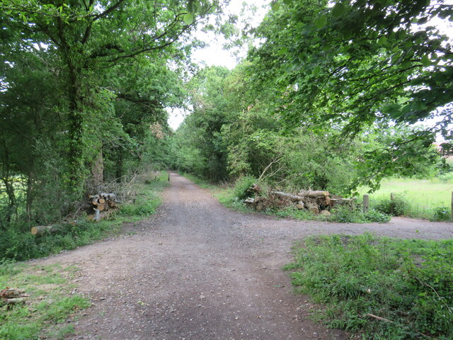
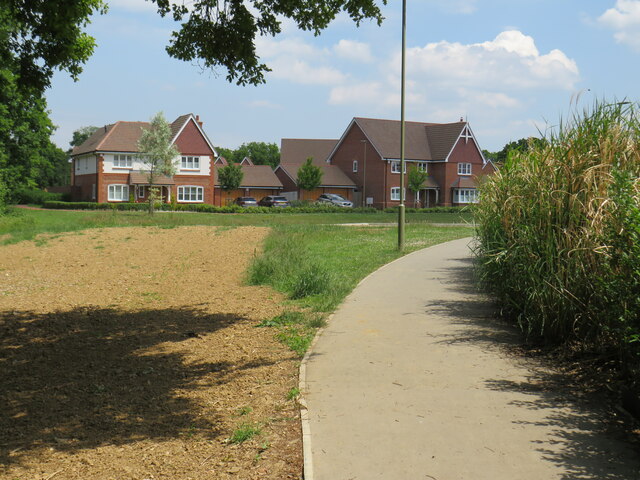
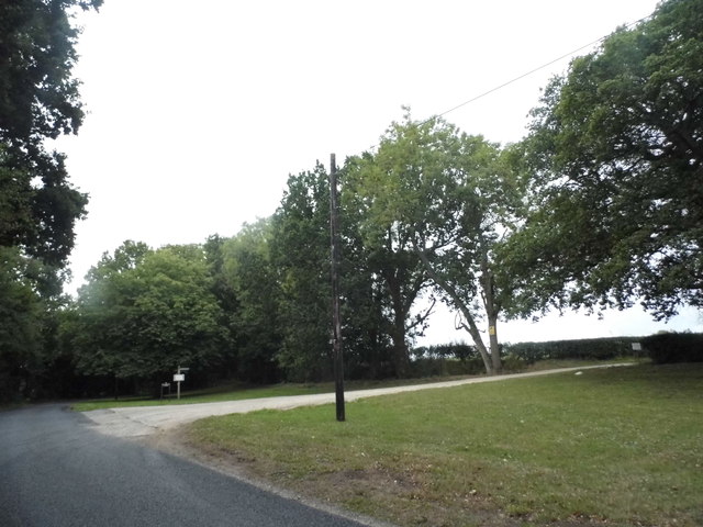
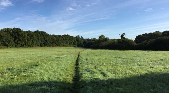
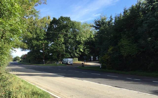
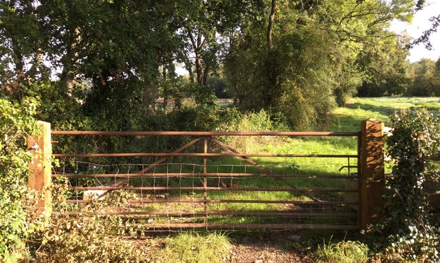
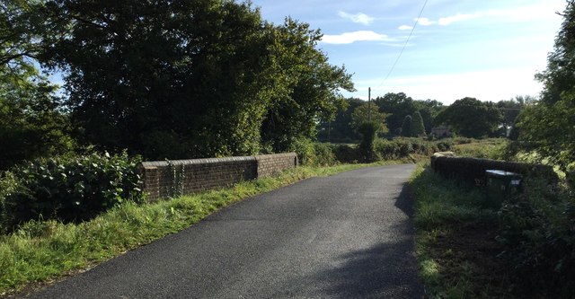
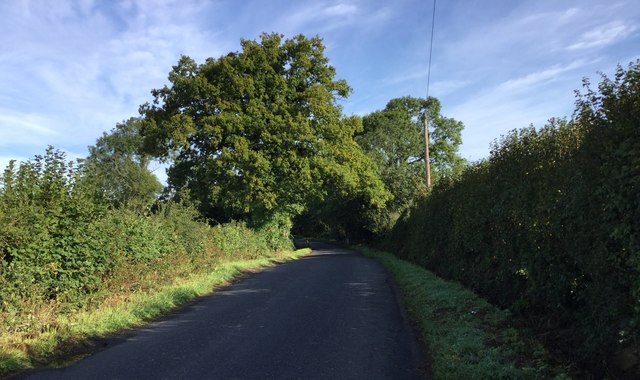
Birch Copse, located in Surrey, England, is a picturesque woodland area known for its dense population of birch trees. The copse, which covers an estimated area of 100 acres, is situated on the outskirts of a small rural village, surrounded by gently rolling hills and meadows. It is a popular destination for nature enthusiasts and hikers due to its tranquil atmosphere and scenic beauty.
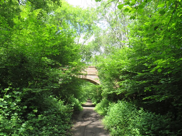
The copse is characterized by its dense canopy of birch trees, which provide ample shade during the summer months. The trees, with their distinctive white bark and delicate leaves, create a stunning contrast against the surrounding greenery. Visitors to Birch Copse can expect to find a variety of wildlife, including birds, squirrels, and deer, as the woodland provides a suitable habitat for these creatures.
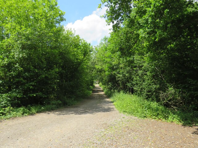
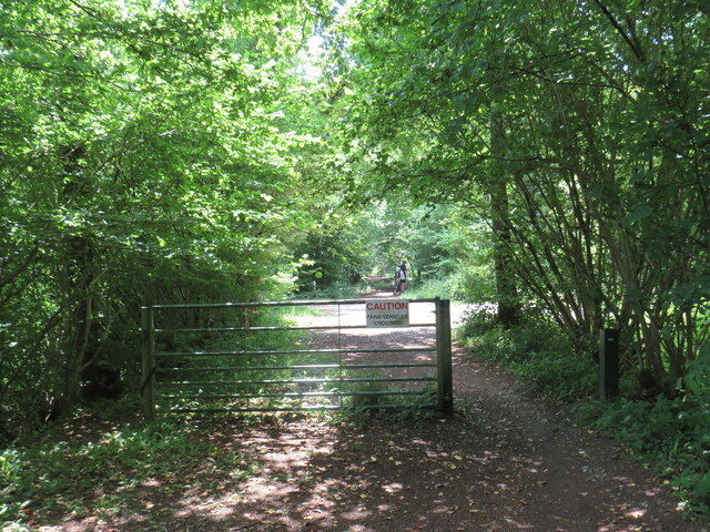
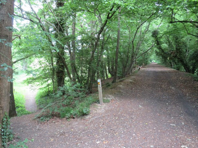
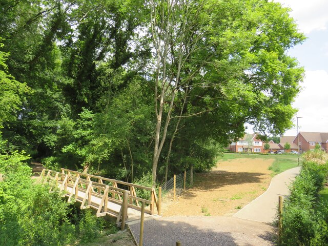
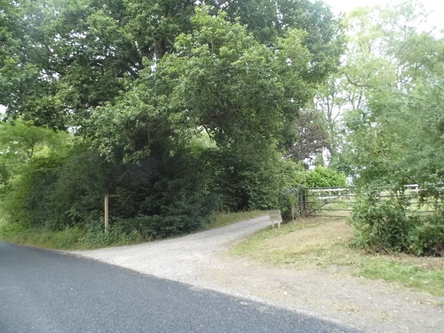
The forest floor of Birch Copse is covered with a thick carpet of moss, ferns, and wildflowers, adding to the enchanting ambiance of the area. A network of well-maintained walking paths winds through the copse, allowing visitors to explore the woodland at their leisure. These paths lead to several scenic viewpoints, offering breathtaking vistas of the surrounding countryside.
Birch Copse is a peaceful retreat away from the hustle and bustle of city life. It offers visitors the opportunity to immerse themselves in nature, whether by taking a leisurely stroll, birdwatching, or simply enjoying a picnic amidst the tranquil surroundings. With its natural beauty, diverse wildlife, and well-maintained trails, Birch Copse is a must-visit destination for those seeking solace in the heart of Surrey's countryside.
If you have any feedback on the listing, please let us know in the comments section below.
Birch Copse Images
Images are sourced within 2km of 51.115679/-0.49362039 or Grid Reference TQ0536. Thanks to Geograph Open Source API. All images are credited.


Birch Copse is located at Grid Ref: TQ0536 (Lat: 51.115679, Lng: -0.49362039)
Administrative County: Surrey
District: Waverley
Police Authority: Surrey
What 3 Words
///increased.dentures.outdone. Near Cranleigh, Surrey
Nearby Locations
Related Wikis

Alfold F.C.
Alfold Football Club is a football club based in Alfold, Surrey, England. They are currently members of the Southern Combination Division One and play...

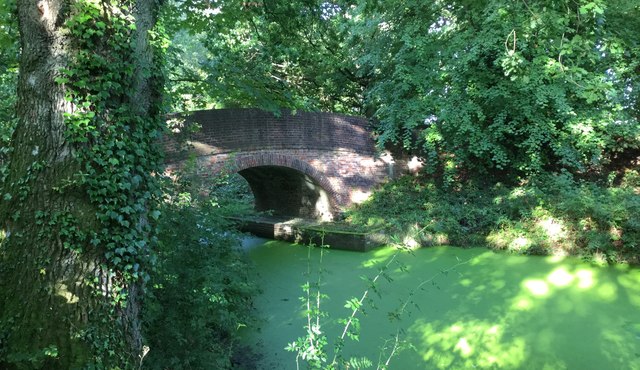
London to Portsmouth canal
The London to Portsmouth canal was a concept for the construction of a secure inland canal route from the British capital of London to the headquarters...

Wey and Arun Canal
The Wey and Arun Canal is a partially open, 23-mile-long (37 km) canal in the southeast of England. It runs southwards from the River Wey at Gunsmouth...

Rikkyo School in England
Rikkyo School in England (立教英国学院, Rikkyō Eikoku Gakuin) is a Japanese boarding primary and secondary school in Rudgwick, Horsham District, West Sussex...

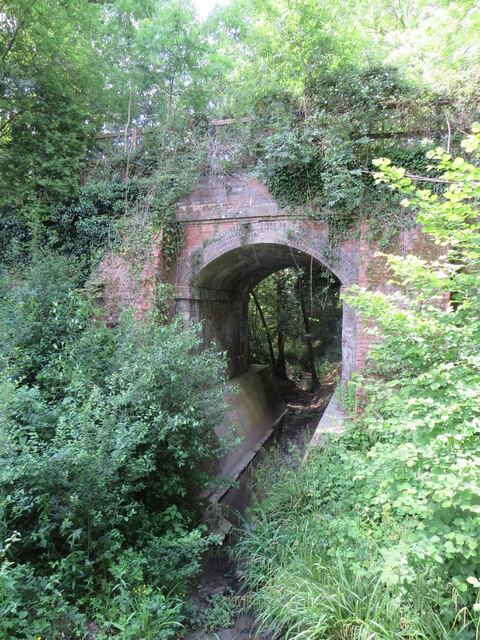
Baynards railway station
Baynards was a railway station on the Cranleigh Line, between Guildford, Surrey, and Horsham, West Sussex, England. The station opened with the line on...
Cranleigh
Cranleigh is a village and civil parish, about 8 miles (13 km) southeast of Guildford in Surrey, England. It lies on a minor road east of the A281, which...

Dunsfold Aerodrome
Dunsfold Aerodrome (former ICAO code EGTD) is an unlicensed airfield in Surrey, England, near the village of Cranleigh. It extends across land in the villages...

Cranleigh railway station
Cranleigh was a railway station on the Cranleigh Line between Guildford and Horsham. It served the village of Cranleigh, Surrey in southern England....
Nearby Amenities
Located within 500m of 51.115679,-0.49362039Have you been to Birch Copse?
Leave your review of Birch Copse below (or comments, questions and feedback).