Netherlands
Wood, Forest in Surrey Guildford
England
Netherlands
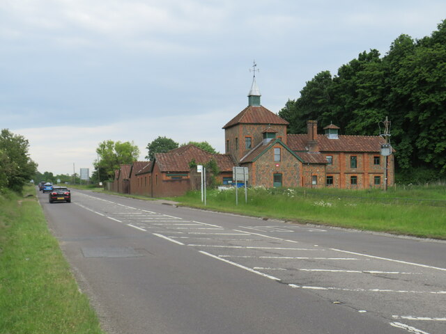
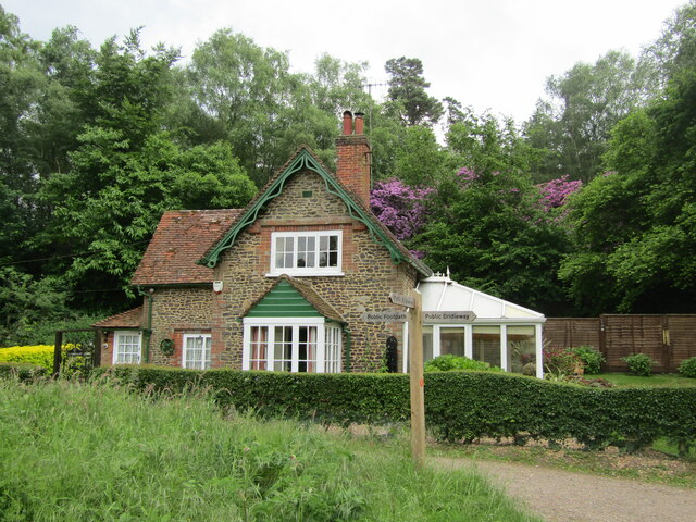
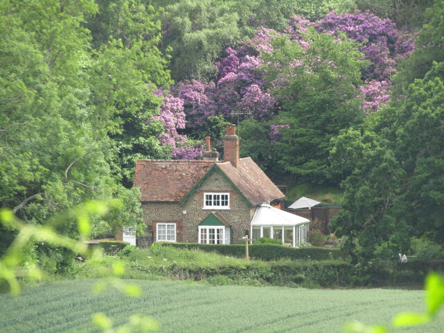
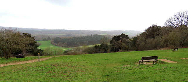
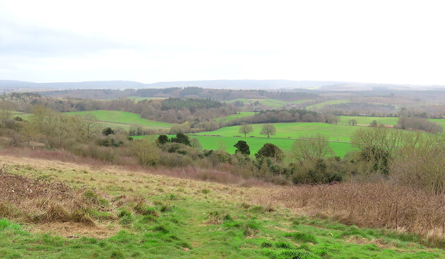
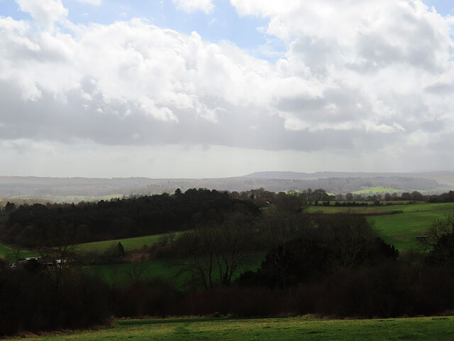
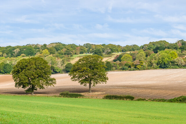
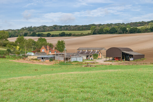
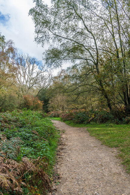
Netherlands, Surrey (Wood, Forest) is a small village located in the county of Surrey, England. Situated amidst picturesque woodlands and forests, the village offers a peaceful and idyllic setting for its residents and visitors alike.
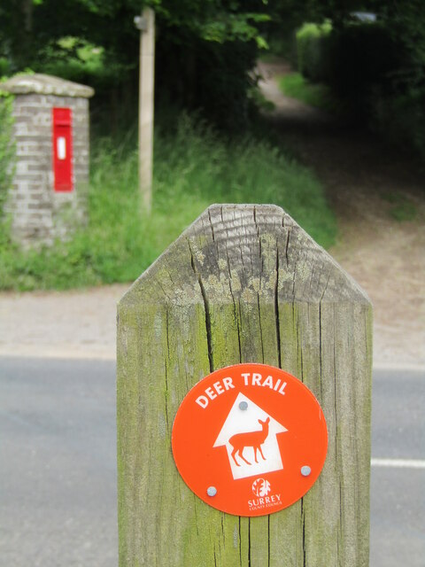
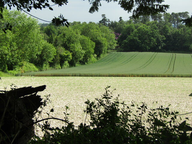
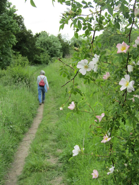
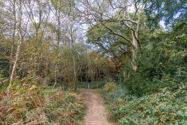
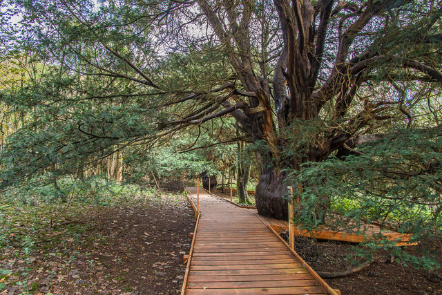
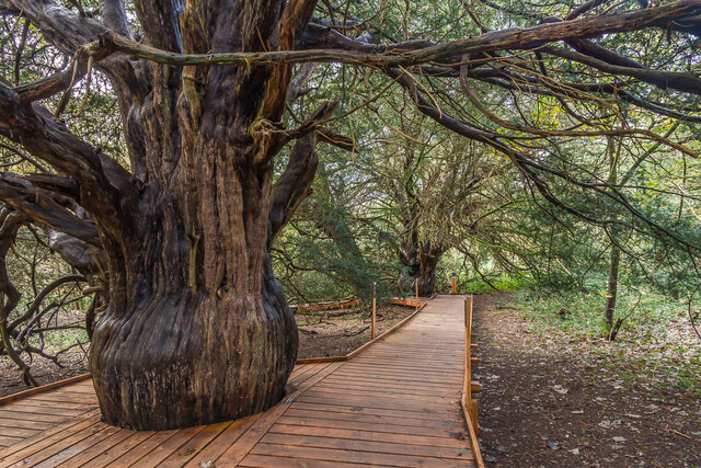
The village is known for its rich natural beauty, with an abundance of trees, green spaces, and wildlife. The forested areas surrounding the village provide ample opportunities for outdoor activities such as hiking, cycling, and nature walks. The enchanting woodland trails offer a serene escape from the hustle and bustle of city life, allowing visitors to immerse themselves in the tranquility of nature.
Netherlands, Surrey (Wood, Forest) is also home to a close-knit community that takes pride in preserving its natural surroundings. The village boasts a charming rural atmosphere, with traditional cottages and historic buildings scattered throughout. The local residents are known for their hospitality and welcoming nature, making visitors feel right at home.
Despite its secluded location, Netherlands, Surrey (Wood, Forest) is conveniently located near major transportation routes, allowing easy access to nearby towns and cities. The village is within driving distance of Guildford, a bustling market town that offers a wide range of amenities such as shopping centers, restaurants, and entertainment options.
In conclusion, Netherlands, Surrey (Wood, Forest) is a hidden gem nestled in the heart of Surrey's woodlands. With its stunning natural beauty, welcoming community, and convenient location, it is an ideal destination for nature lovers and those seeking a peaceful retreat.
If you have any feedback on the listing, please let us know in the comments section below.
Netherlands Images
Images are sourced within 2km of 51.239103/-0.49225735 or Grid Reference TQ0549. Thanks to Geograph Open Source API. All images are credited.
Netherlands is located at Grid Ref: TQ0549 (Lat: 51.239103, Lng: -0.49225735)
Administrative County: Surrey
District: Guildford
Police Authority: Surrey
What 3 Words
///help.divide.covers. Near West Clandon, Surrey
Nearby Locations
Related Wikis

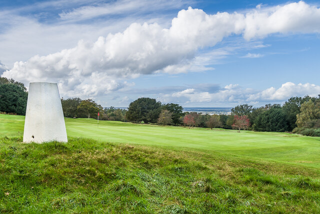
Newlands Corner
Newlands Corner is a 103-hectare (250-acre) nature reserve east of Guildford in Surrey, England. It is owned by the Albury Estate. It used to be managed...
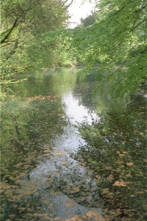
Silent Pool
Silent Pool is a spring-fed lake at the foot of the North Downs, about 4 miles (6 km) east of Guildford in Surrey. The outflow from Silent Pool runs into...
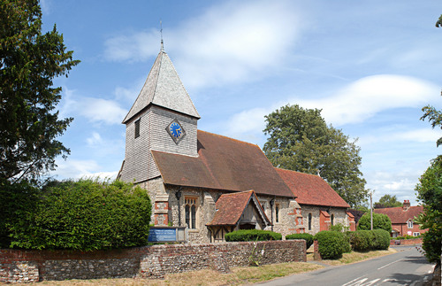
East Clandon
East Clandon is a village and civil parish in Surrey, England on the A246 between the towns of Guildford to the west and Leatherhead to the east. Neighbouring...

Clandon Park House
Clandon Park House is an early 18th-century grade I listed Palladian mansion in West Clandon, near Guildford in Surrey.It stands in the south east corner...
Nearby Amenities
Located within 500m of 51.239103,-0.49225735Have you been to Netherlands?
Leave your review of Netherlands below (or comments, questions and feedback).