The Boxwood

Wood, Forest in Surrey Guildford

England

The Boxwood

Albury Park entrance and lodge An entrance to Albury Park, in Surrey.  The building to the left of the entrance is a lodge.
Albury Park entrance and lodge Credit: Malc McDonald

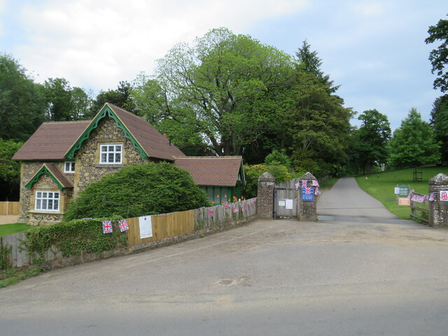
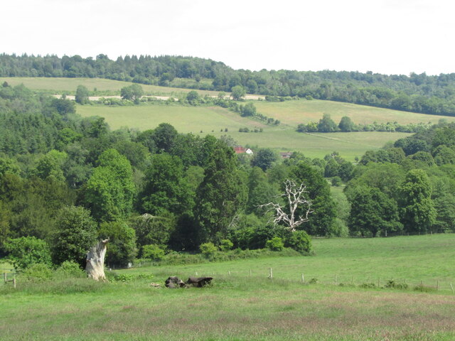
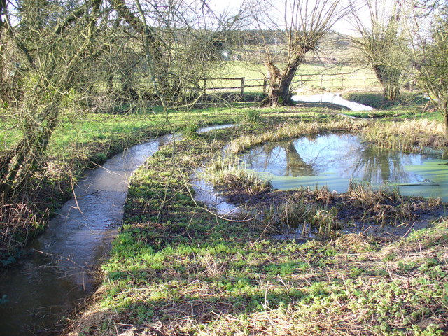
The Boxwood is a woodland area located in Surrey, England. It is known for its vast expanse of boxwood trees, which are native to the area and give the woodland its name. The Boxwood is situated in a serene and picturesque setting, with rolling hills and a diverse range of flora and fauna.

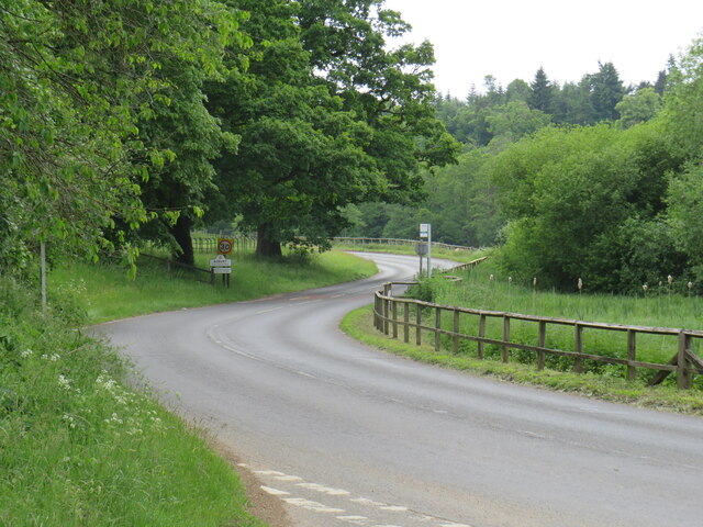
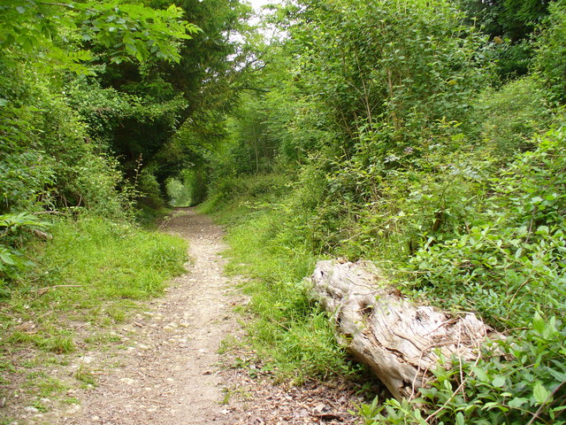
Covering an area of approximately 500 acres, The Boxwood is a popular destination for nature enthusiasts and hikers. The woodland offers a network of well-maintained trails, allowing visitors to explore the area and take in the beauty of the surrounding landscape. Along the trails, there are informative signposts providing details about the various tree species and wildlife that can be found in the woodland.

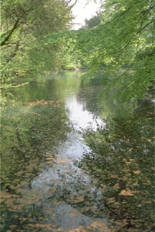
The Boxwood is home to a rich biodiversity, with a wide variety of plant and animal species. The dense canopy of boxwood trees creates a unique habitat for a range of wildlife, including birds, insects, and small mammals. Rare species of orchids and wildflowers can also be found in the woodland, adding to its natural beauty.

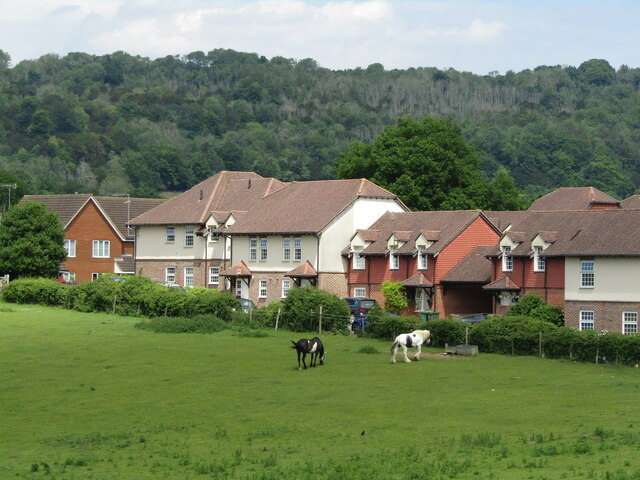
In addition to its natural features, The Boxwood also has several amenities for visitors. There are picnic areas and benches scattered throughout the woodland, providing a tranquil spot for visitors to relax and enjoy a meal. The woodland is easily accessible by car, with ample parking available.

Overall, The Boxwood in Surrey is a stunning woodland area that offers a peaceful retreat for nature lovers. Its diverse range of plants and animals, along with its well-maintained trails, make it a popular destination for both locals and tourists alike.

If you have any feedback on the listing, please let us know in the comments section below.
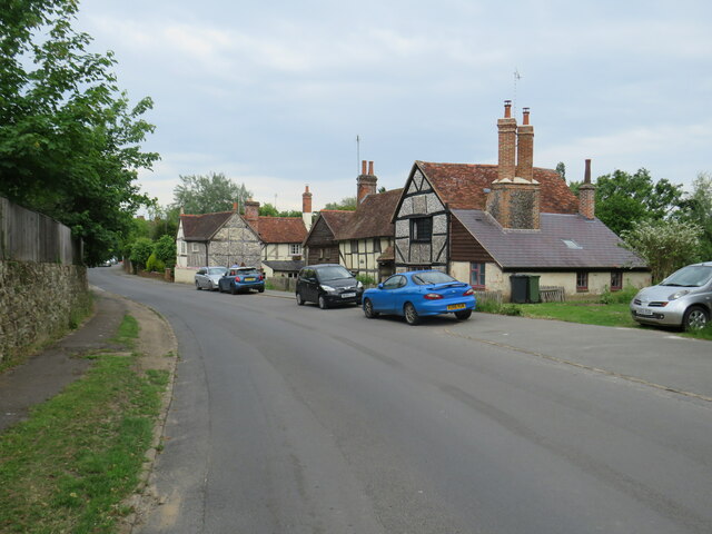
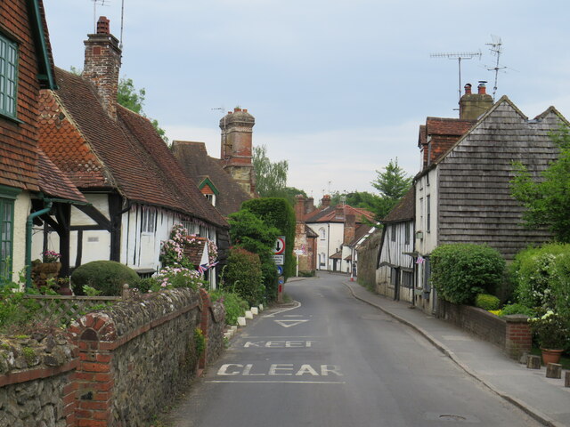
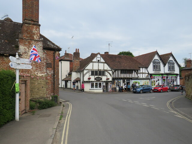
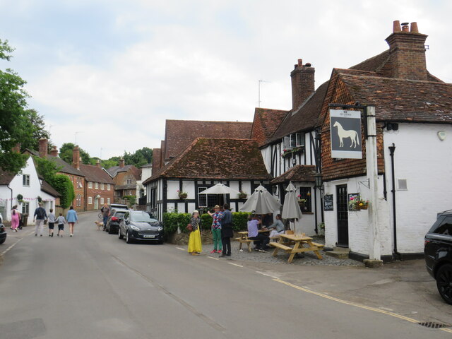
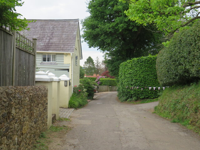
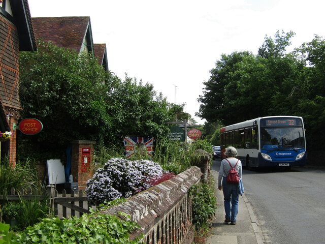
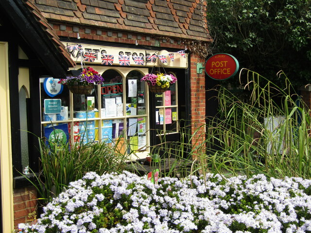
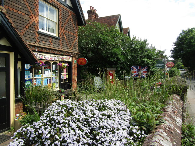
The Boxwood Images

Images are sourced within 2km of 51.230809/-0.48434999 or Grid Reference TQ0549. Thanks to Geograph Open Source API. All images are credited.

Albury Park entrance and lodge An entrance to Albury Park, in Surrey.  The building to the left of the entrance is a lodge.
Albury Park entrance and lodge
An entrance to Albury Park, in Surrey. The building to the left of the entrance is a lodge.
A248 road at Albury A double bend on the A248 road as it enters the village of Albury.
A248 road at Albury
A double bend on the A248 road as it enters the village of Albury.
A25 road near Albury A view eastwards along the A25 road between Albury and Shere in Surrey.  The building on the opposite side of the road is Home Farm.
A25 road near Albury
A view eastwards along the A25 road between Albury and Shere in Surrey. The building on the opposite side of the road is Home Farm.
Upper Street, Shere Upper Street entering the village of Shere in Surrey.  The speed limit drops to 20 miles per hour through the village.
Upper Street, Shere
Upper Street entering the village of Shere in Surrey. The speed limit drops to 20 miles per hour through the village.
Upper Street, Shere Upper Street in the Surrey village of Shere.
Upper Street, Shere
Upper Street in the Surrey village of Shere.
Upper Street, Shere Upper Street in the Surrey village of Shere.
Upper Street, Shere
Upper Street in the Surrey village of Shere.
Shere village centre A road junction in the centre of the village of Shere in Surrey.
Shere village centre
A road junction in the centre of the village of Shere in Surrey.
Middle Street, Shere Middle Street in the village of Shere in Surrey.  To the right of the image is a pub called The White Horse.
Middle Street, Shere
Middle Street in the village of Shere in Surrey. To the right of the image is a pub called The White Horse.
The Spinning Walk, Shere The Spinning Walk, in the village of Shere, is on route 22 of the National Cycle Network.
The Spinning Walk, Shere
The Spinning Walk, in the village of Shere, is on route 22 of the National Cycle Network.
Albury - Village Centre A narrow pavement outside Albury's post office with a Stagecoach bus (Route 32) passing by on its hourly service from Redhill to Guildford.
Albury - Village Centre
A narrow pavement outside Albury's post office with a Stagecoach bus (Route 32) passing by on its hourly service from Redhill to Guildford.
Albury - Post Office The village post office cohabits with Pratt's Stores. Note the flags are out to commemorate the Queen's Platinum Jubilee (2022).
Albury - Post Office
The village post office cohabits with Pratt's Stores. Note the flags are out to commemorate the Queen's Platinum Jubilee (2022).
Albury - Pratt's Stores The village stores shares its premises with the Post Office. Note the flags commemorating the Queen's Platinum Jubilee (1952-2022).
Albury - Pratt's Stores
The village stores shares its premises with the Post Office. Note the flags commemorating the Queen's Platinum Jubilee (1952-2022).
Albury - Signpost Ornate wooden signpost at a tripoint showing the roads to Guildford, Dorking and Albury Church.
Albury - Signpost
Ornate wooden signpost at a tripoint showing the roads to Guildford, Dorking and Albury Church.
Albury - Signpost Ornate wooden signpost at the tripoint outside the village post office and stores. The post points out the ways to Guildford, Albury Church and to Dorking.
Note the tile-hung cottage with diamond patterning.
Albury - Signpost
Ornate wooden signpost at the tripoint outside the village post office and stores. The post points out the ways to Guildford, Albury Church and to Dorking. Note the tile-hung cottage with diamond patterning.
Albury - Estate Cottage Attractive late-Victorian tile-hung cottage in characteristic green livery of the Albury Estate.
Albury - Estate Cottage
Attractive late-Victorian tile-hung cottage in characteristic green livery of the Albury Estate.
Albury - War Memorial Sited on the lane facing the parish church.
Albury - War Memorial
Sited on the lane facing the parish church.
Albury - Pastoral Landscape Green fields and woodland on the hillside south-east of the village. In the background is the scarp slope of the North Downs east of Newlands Corner.
Albury - Pastoral Landscape
Green fields and woodland on the hillside south-east of the village. In the background is the scarp slope of the North Downs east of Newlands Corner.
Shere - Village Edge New housing at the southern end of Shere overlook fields with grazing animals.
Shere - Village Edge
New housing at the southern end of Shere overlook fields with grazing animals.
Show me another place!

The Boxwood is located at Grid Ref: TQ0549 (Lat: 51.230809, Lng: -0.48434999)

Administrative County: Surrey

District: Guildford

Police Authority: Surrey

What 3 Words

///desire.shirt.dining. Near Chilworth, Surrey

Nearby Locations

The Boxwood Netherlands

Related Wikis

Silent Pool

Silent Pool is a spring-fed lake at the foot of the North Downs, about 4 miles (6 km) east of Guildford in Surrey. The outflow from Silent Pool runs into...

Combe Bottom

Combe Bottom is a 42.1-hectare (104-acre) biological Site of Special Scientific Interest north of Shere in Surrey. It is designated a Local Nature Reserve...

Old St Peter and St Paul's Church, Albury

Old St Peter and St Paul's Church is a former Anglican church near the village of Albury, Surrey, England in the care of The Churches Conservation Trust...

Albury Park

Albury Park is a country park and Grade II* listed historic country house (Albury Park Mansion) in Surrey, England. It covers over 150 acres (0.61 km2...

Newlands Corner

Newlands Corner is a 103-hectare (250-acre) nature reserve east of Guildford in Surrey, England. It is owned by the Albury Estate. It used to be managed...
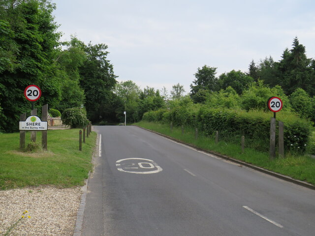
Shere

Shere is a village in the Guildford district of Surrey, England 4.8 miles (7.7 km) east south-east of Guildford and 5.4 miles (8.7 km) west of Dorking...

Albury, Surrey

Albury is a village and civil parish in central Surrey, England, around 3.5 miles (5.6 km) east of Guildford. It is in the Surrey Hills Area of Outstanding...

Law Brook, Surrey

The Law Brook or Postford Brook is a stream in the Surrey Hills AONB which feeds the Tillingbourne which in turn feeds the River Wey. It is notable in...

Nearby Amenities

Located within 500m of 51.230809,-0.48434999
Source: local knowledge
Sport: shooting
Lat/Long: 51.2338222/-0.4795978
Bunker Type: pillbox
Disused: yes
Military: bunker
Lat/Long: 51.2282363/-0.4814991
West Hanger
Information: guidepost
Tourism: information
Lat/Long: 51.2319905/-0.4782457
Information: guidepost
Tourism: information
Lat/Long: 51.23179/-0.4813553
Barrier: yes
Lat/Long: 51.2266723/-0.4826678
The data included in this document is from www.openstreetmap.org. The data is made available under ODbL.

Have you been to The Boxwood?

Leave your review of The Boxwood below (or comments, questions and feedback).