Gillhill Plantation

Wood, Forest in Hertfordshire Dacorum

England

Gillhill Plantation

Watling Street, Markyate From The Ridings
Watling Street, Markyate Credit: David Howard

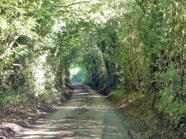
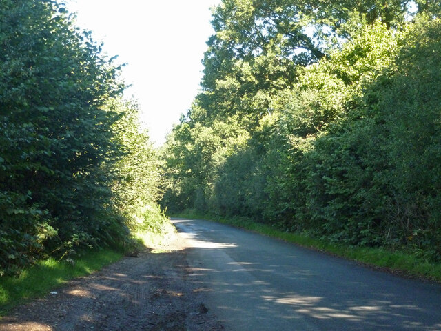
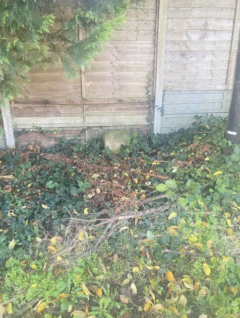
Gillhill Plantation is a woodland area located in Hertfordshire, England. Situated in the county's scenic countryside, it covers an expansive area and is characterized by its dense forest and lush greenery. The plantation is known for its diverse range of trees, including various species such as oak, beech, and birch.

The woodland is well-preserved and managed, attracting nature enthusiasts, hikers, and birdwatchers alike. It offers a tranquil and serene environment, making it an ideal destination for those seeking a peaceful retreat. Walking trails are present throughout the plantation, allowing visitors to explore and discover the beauty of the area at their own pace.

Gillhill Plantation is home to a wide array of wildlife, including various species of birds, mammals, and insects. Birdwatchers often encounter a variety of avian species, such as woodpeckers, owls, and songbirds. Additionally, the woodland provides a habitat for mammals like foxes, deer, and rabbits.

The plantation also serves as an important ecological site, contributing to the overall biodiversity of the region. Its trees play a crucial role in carbon sequestration, helping to combat climate change. The woodland management practices in place ensure the sustainable growth and preservation of the plantation for future generations to enjoy.

Overall, Gillhill Plantation is a natural haven within Hertfordshire, offering a picturesque and serene environment for visitors to immerse themselves in nature and appreciate the beauty of the woodlands.

If you have any feedback on the listing, please let us know in the comments section below.

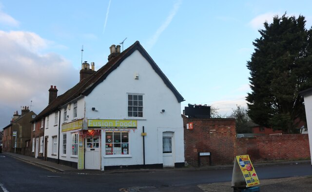
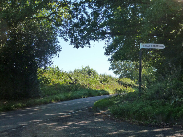
Gillhill Plantation Images

Images are sourced within 2km of 51.821651/-0.47294763 or Grid Reference TL0514. Thanks to Geograph Open Source API. All images are credited.

Watling Street, Markyate From The Ridings
Watling Street, Markyate
From The Ridings
London Road, Markyate
Fusion Foods on London Road, Markyate It was Massala Village but is still an Indian Restaurant, also called Markyate Grill.
Fusion Foods on London Road, Markyate
It was Massala Village but is still an Indian Restaurant, also called Markyate Grill.
Persephone new age shop on High Street Markyate
Ledgemore Lane Heading north.
Ledgemore Lane
Heading north.
Gaddesden Row at Ledgemore Lane junction
Beechwood Lane Towards Markyate or Flamstead.
Beechwood Lane
Towards Markyate or Flamstead.
Old Milestone by London Road, Markyate Carved stone post by the former A5, in parish of Markyate (Dacorum District), London Road, opposite No. 51, on the verge, on West side of road. Dunstable stone, erected by the Dunstable turnpike trust in the 19th century. 

Inscription reads:-
LONDON
28
MILES

Grade II listed.
List Entry Number: 1295907 <span class="nowrap"><a title="https://historicengland.org.uk/listing/the-list/list-entry/1295907" rel="nofollow ugc noopener" href="https://historicengland.org.uk/listing/the-list/list-entry/1295907">Link</a><img style="margin-left:2px;" alt="External link" title="External link - shift click to open in new window" src="https://s1.geograph.org.uk/img/external.png" width="10" height="10"/></span>

Milestone Society National ID: HE_LH28
Old Milestone by London Road, Markyate
Carved stone post by the former A5, in parish of Markyate (Dacorum District), London Road, opposite No. 51, on the verge, on West side of road. Dunstable stone, erected by the Dunstable turnpike trust in the 19th century. Inscription reads:- LONDON 28 MILES Grade II listed. List Entry Number: 1295907 LinkExternal link Milestone Society National ID: HE_LH28
White Hart Pub Markyate. This is at the top end of the town where cars are 
closely parked.
White Hart Pub Markyate.
This is at the top end of the town where cars are closely parked.
Fire Station at Markyate Located in the heart of the village.
Fire Station at Markyate
Located in the heart of the village.
Lodge House at Gates  to Beechwood Park School The approach road is almost 3/4 kilometre long.
Lodge House at Gates to Beechwood Park School
The approach road is almost 3/4 kilometre long.
Beechwood Park School signboard. Just to confirm that it exists.
Beechwood Park School signboard.
Just to confirm that it exists.
House with Pylon in Cheverells Green This seems a bit too close for comfort wonder if the children are OK
House with Pylon in Cheverells Green
This seems a bit too close for comfort wonder if the children are OK
House at Cheverell's Green This one is sufficiently far from the transmission lines. Not sure about the pseudo half timber cladding.
House at Cheverell's Green
This one is sufficiently far from the transmission lines. Not sure about the pseudo half timber cladding.
Guides Hut Gaddesden Row This was one of the traditional tin churches before its change of use
Guides Hut Gaddesden Row
This was one of the traditional tin churches before its change of use
Montifiore School at Six Tunnels Farm Is it a school or a farm  quandary??
Montifiore School at Six Tunnels Farm
Is it a school or a farm quandary??
Water Tower at Gaddesden Row The tower is well cared for but the sign on the gate is covered with green algae. Just a wipe with a damp cloth is all it needs.
Water Tower at Gaddesden Row
The tower is well cared for but the sign on the gate is covered with green algae. Just a wipe with a damp cloth is all it needs.
Junior School at Gaddesden Row An ancient school still deemed OK for the small population.
Junior School at Gaddesden Row
An ancient school still deemed OK for the small population.
Show me another place!

Gillhill Plantation is located at Grid Ref: TL0514 (Lat: 51.821651, Lng: -0.47294763)

Administrative County: Hertfordshire

District: Dacorum

Police Authority: Hertfordshire

What 3 Words

///dumplings.miss.bidder. Near Markyate, Hertfordshire

Related Wikis

Cheverells

Cheverells is a Grade II* listed dower house to the Beechwood Park estate in Hertfordshire, England. It dates from around 1693. == References ==

Beechwood Park (mansion)

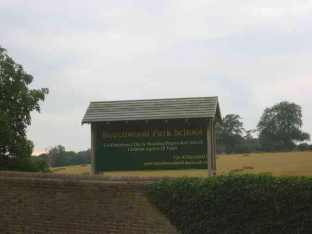
Beechwood Park was a mansion, near Markyate, Hertfordshire, England. It now houses Beechwood Park School. == History == Ralph de Tony held this site, in...

Ballingdon Bottom

Ballingdon Bottom is a valley in Hertfordshire, England. It forms part of the boundary between the civil parishes of Flamstead and Great Gaddesden....

Markyate Rural District

Markyate Rural District was a short-lived rural district in Hertfordshire, England from 1894 to 1897, on the borders with Bedfordshire. The district was...

Markyate

Markyate () is a village and civil parish in north-west Hertfordshire, close to the border with Bedfordshire and Buckinghamshire. == Geography == The name...

Golden Parsonage

The Golden Parsonage is a Grade II* listed country house in Great Gaddesden, Hertfordshire, and is part of the Gaddesden Estate. The house remains in the...

Flamstead

Flamstead is a village and civil parish in north-west Hertfordshire, England, close to the junction of the A5 and the M1 motorway at junction 9. The name...
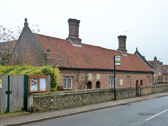
Saunders Almshouses

The Saunders Almshouses are Grade II* listed almshouses in Flamstead, Hertfordshire, England. They date from 1669 and were built for Thomas Saunders of...

Nearby Amenities

Located within 500m of 51.821651,-0.47294763
The data included in this document is from www.openstreetmap.org. The data is made available under ODbL.

Have you been to Gillhill Plantation?

Leave your review of Gillhill Plantation below (or comments, questions and feedback).