Oldhouse Copse
Wood, Forest in Sussex Chichester
England
Oldhouse Copse
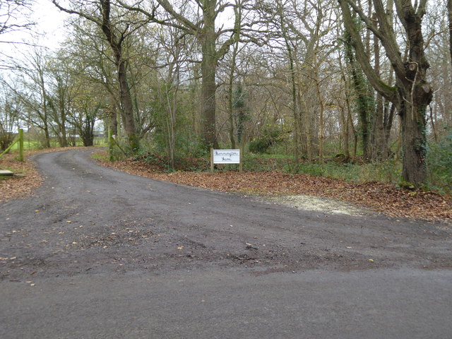
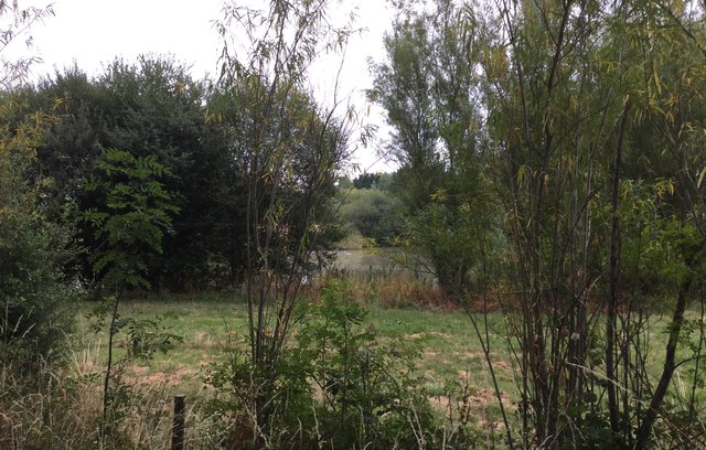
Oldhouse Copse is a beautiful woodland nestled in the heart of Sussex, England. Covering an area of approximately 50 hectares, it is a haven for nature enthusiasts and those seeking solace in the great outdoors. The copse is situated near the village of Oldhouse, hence its name, and is easily accessible by foot or bike.
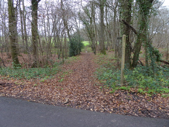
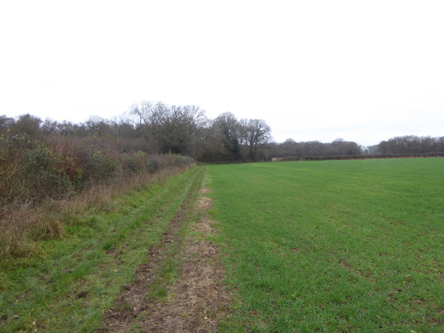
The woodland is characterized by its dense canopy of mature trees, predominantly oak and beech, which provide a cool and shaded environment. The forest floor is blanketed with an array of wildflowers, ferns, and mosses, creating a vibrant and diverse ecosystem. The copse is also home to a variety of wildlife, including deer, badgers, and a myriad of bird species.
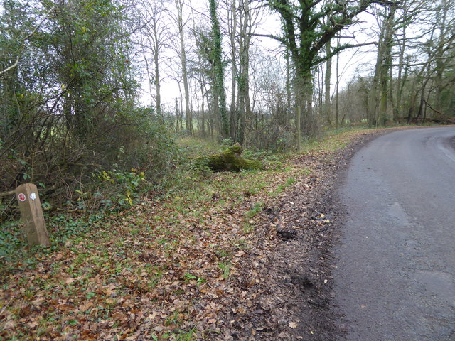
Visitors to Oldhouse Copse can explore the numerous walking trails that wind their way through the woodland. These trails cater to different levels of difficulty, from leisurely strolls to more challenging hikes. Along the way, nature enthusiasts can observe the changing seasons and the varied flora and fauna that inhabit the copse.
The copse is also a popular spot for picnicking and outdoor activities such as birdwatching and photography. Its peaceful ambiance and scenic beauty make it an ideal location for those seeking a tranquil retreat from the hustle and bustle of everyday life.
Oldhouse Copse is not only a natural treasure but also a managed woodland, with conservation efforts in place to protect and preserve its unique ecosystem. The copse is open to the public year-round, allowing visitors to immerse themselves in the beauty of this enchanting woodland.
If you have any feedback on the listing, please let us know in the comments section below.
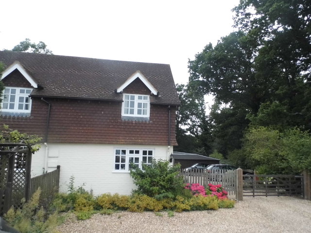
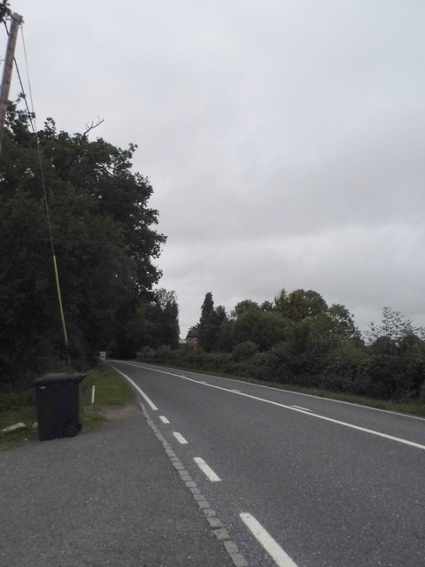
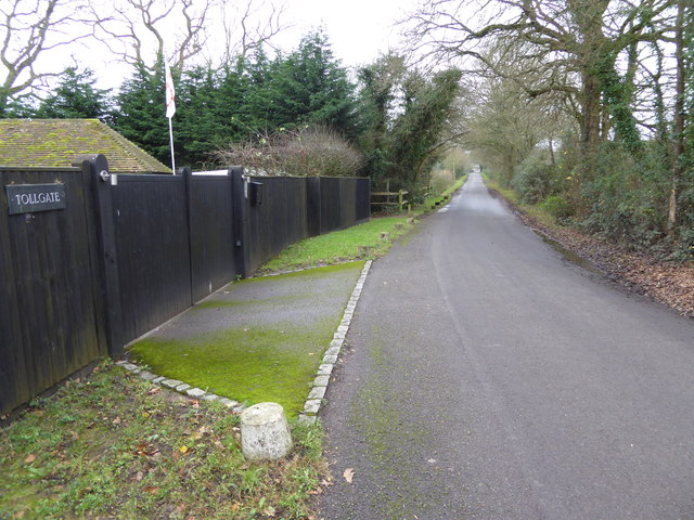
Oldhouse Copse Images
Images are sourced within 2km of 51.051832/-0.50913285 or Grid Reference TQ0429. Thanks to Geograph Open Source API. All images are credited.


Oldhouse Copse is located at Grid Ref: TQ0429 (Lat: 51.051832, Lng: -0.50913285)
Administrative County: West Sussex
District: Chichester
Police Authority: Sussex
What 3 Words
///haunt.reporters.pheasants. Near Billingshurst, West Sussex
Nearby Locations
Related Wikis

Loxwood F.C.
Loxwood Football Club is a football club based in Loxwood, West Sussex, England. Nicknamed "The Magpies" and affiliated to the Surrey County FA, they are...
St Ronan's School
Saint Ronan's School is an independent co-educational preparatory school for boys and girls from 3 to 13 years located in Hawkhurst in Kent, England. It...

Loxwood
Loxwood is a small village and civil parish with several outlying settlements, in the Chichester district of West Sussex, England, within the Low Weald...
Ifold
Ifold is a hamlet in West Sussex and part of the civil Parish of Plaistow, of which it is the largest settlement. Ifold is classified as a hamlet, because...

Wisborough Green
Wisborough Green is a village and civil parish in the north of the Chichester district of West Sussex, England, 2 miles (3.2 km) west of Billingshurst...

Coppedhall Hanger
Coppedhall Hanger is a 0.6-hectare (1.5-acre) geological Site of Special Scientific Interest north of Billingshurst in West Sussex. It is a Geological...

Kirdford
Kirdford is a village and civil parish in the Chichester District of West Sussex, England. Its nearest town is Petworth, located 6.5 miles (10.5 km) southwest...

The Haven, West Sussex
The Haven is a rural hamlet in West Sussex, south east England located about 7 miles to the west of Horsham.The Haven is primarily an agricultural area...
Nearby Amenities
Located within 500m of 51.051832,-0.50913285Have you been to Oldhouse Copse?
Leave your review of Oldhouse Copse below (or comments, questions and feedback).