Hurst Copse

Wood, Forest in Sussex Chichester

England

Hurst Copse

Wey and Arun Canal Brewhurst Bridge is visible in the distance.
Wey and Arun Canal Credit: Simon Carey

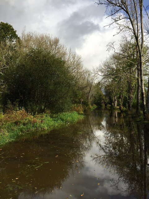
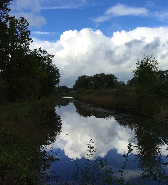
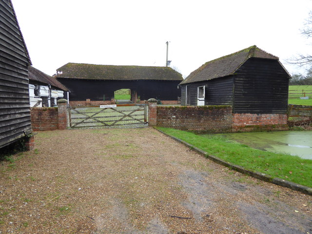
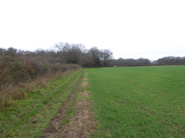
Hurst Copse, located in Sussex, England, is a picturesque woodland area that boasts a diverse range of flora and fauna. Spanning over several acres, this forested landscape is a haven for nature enthusiasts and hikers alike. The copse is characterized by its dense canopy of towering trees, creating a serene and tranquil environment.

The woodland is primarily composed of broadleaf trees, including oak, beech, and chestnut. These majestic trees provide ample shade, creating a cool and refreshing atmosphere during hot summer days. Bluebells, wild garlic, and wood sorrel carpet the forest floor during the spring, adding a vibrant burst of color to the landscape.

Hurst Copse is home to a wide variety of wildlife, including several bird species such as woodpeckers, warblers, and owls. In addition, the copse is inhabited by a diverse range of mammals, including foxes, badgers, and deer. Visitors may also spot smaller creatures like squirrels and rabbits darting through the undergrowth.

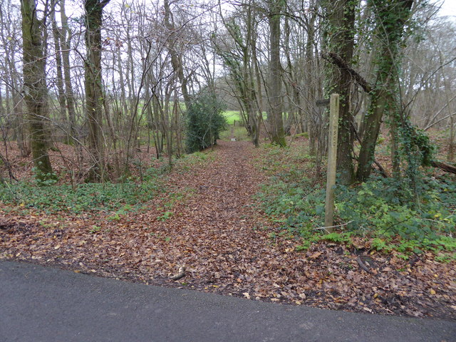
Several well-maintained footpaths wind their way through the copse, allowing visitors to explore the woodland at their leisure. These paths lead to hidden clearings, where one can pause to take in the natural beauty of the surroundings. Additionally, benches and picnic areas are scattered throughout the copse, providing the perfect opportunity to relax and enjoy a picnic amidst the enchanting woodland setting.

Overall, Hurst Copse in Sussex offers a peaceful retreat from the hustle and bustle of everyday life. Its lush vegetation, abundance of wildlife, and well-maintained trails make it an ideal destination for nature lovers and those seeking solace in the great outdoors.

If you have any feedback on the listing, please let us know in the comments section below.
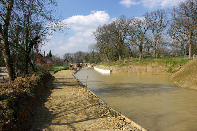
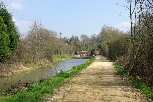
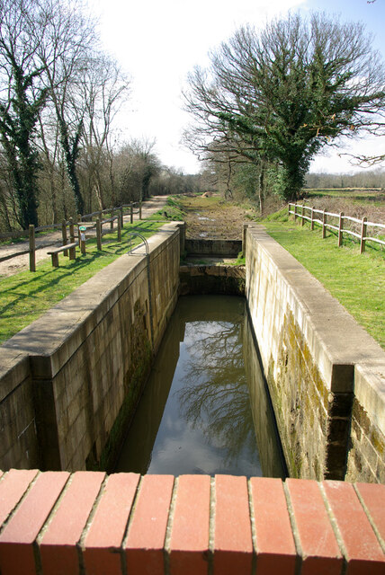
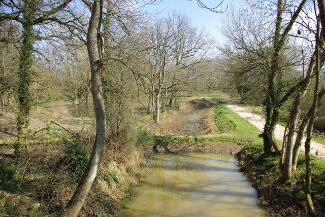
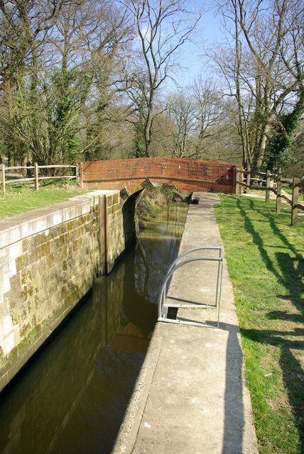
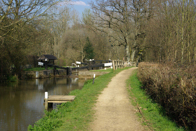
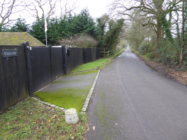
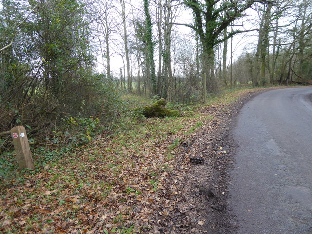
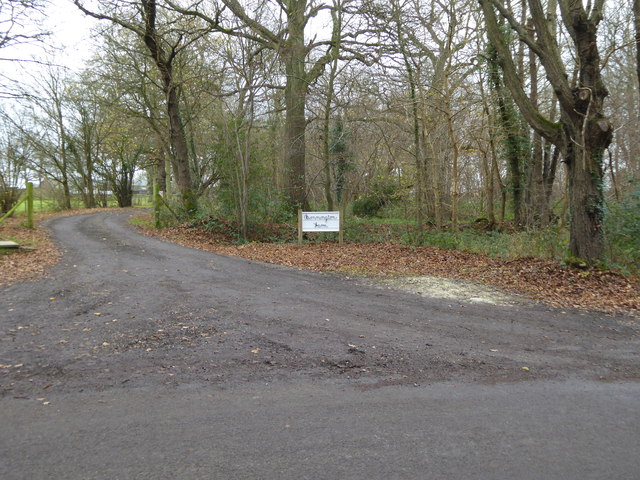
Hurst Copse Images

Images are sourced within 2km of 51.058864/-0.50980602 or Grid Reference TQ0429. Thanks to Geograph Open Source API. All images are credited.

Wey and Arun Canal Brewhurst Bridge is visible in the distance.
Wey and Arun Canal
Brewhurst Bridge is visible in the distance.
Wey and Arun Canal Loxwood Bridge is just visible in the distance.
Wey and Arun Canal
Loxwood Bridge is just visible in the distance.
A bizarre canal lock, 2007 A possibly unique arrangement where the lower gates tower above the upper gates. This results from rebuilding to match an upper pound dug out to a lower level to pass under a new B2133 bridge. There is still a small rise. Lock 5, Brewhurst, on the Wey and Arun Junction Canal.
A bizarre canal lock, 2007
A possibly unique arrangement where the lower gates tower above the upper gates. This results from rebuilding to match an upper pound dug out to a lower level to pass under a new B2133 bridge. There is still a small rise. Lock 5, Brewhurst, on the Wey and Arun Junction Canal.
Newly lowered pound, Wey and Arun Canal, 2007 The canal was culverted under a lowered B2133 after closure. A requirement of the resurrection of this part of the canal was that the road level was not to be altered. Consequently the canal under a new bridge, still in hand here, had to be at a lower level than previously. This is the more deeply dug pound. This needed a drastically altered lower lock (behind the camera) and a completely new lock beyond the bridge.
Newly lowered pound, Wey and Arun Canal, 2007
The canal was culverted under a lowered B2133 after closure. A requirement of the resurrection of this part of the canal was that the road level was not to be altered. Consequently the canal under a new bridge, still in hand here, had to be at a lower level than previously. This is the more deeply dug pound. This needed a drastically altered lower lock (behind the camera) and a completely new lock beyond the bridge.
Newly lowered pound, Wey and Arun Canal, 2007 The canal was culverted under a lowered B2133 after closure. A requirement of the resurrection of this part of the canal was that the road level was not to be altered. Consequently the canal under a new bridge, still in hand ahead, had to be at a lower level than previously. This is the more deeply dug pound. This needed a drastically altered lower lock and a completely new lock beyond the bridge.
Newly lowered pound, Wey and Arun Canal, 2007
The canal was culverted under a lowered B2133 after closure. A requirement of the resurrection of this part of the canal was that the road level was not to be altered. Consequently the canal under a new bridge, still in hand ahead, had to be at a lower level than previously. This is the more deeply dug pound. This needed a drastically altered lower lock and a completely new lock beyond the bridge.
New lock and bridge, 2007 The canal was culverted under a lowered B2133 after closure. A requirement of the resurrection of the canal was that the road level was not to be altered. Consequently the canal under a new bridge (still in hand and beyond the one ahead), had to be at a lower level than previously. This needed a drastically altered lower lock and this completely new upper lock, the old canal level being as seen here.
New lock and bridge, 2007
The canal was culverted under a lowered B2133 after closure. A requirement of the resurrection of the canal was that the road level was not to be altered. Consequently the canal under a new bridge (still in hand and beyond the one ahead), had to be at a lower level than previously. This needed a drastically altered lower lock and this completely new upper lock, the old canal level being as seen here.
Devil's Hole Lock, Wey and Arun Canal, 2007 The stonework has been very drastically repaired, but no gates yet, with the canal above still yet to be watered.
Devil's Hole Lock, Wey and Arun Canal, 2007
The stonework has been very drastically repaired, but no gates yet, with the canal above still yet to be watered.
Pound below Devil's Hole Lock, 2007 The partly restored Wey and Arun Canal, split into watered parts and cleared but more or less dry parts.
Pound below Devil's Hole Lock, 2007
The partly restored Wey and Arun Canal, split into watered parts and cleared but more or less dry parts.
Devil's Hole Lock, Wey and Arun Canal, 2007 The stonework has been very drastically repaired, but no gates yet, with the canal above still yet to be watered.
Devil's Hole Lock, Wey and Arun Canal, 2007
The stonework has been very drastically repaired, but no gates yet, with the canal above still yet to be watered.
Baldwin's Knob Lock, 2007 On the restored part of the Wey and Arun Canal.
Baldwin's Knob Lock, 2007
On the restored part of the Wey and Arun Canal.
Cottage on Vicarage Hill, Roundstreet Common
Vicarage Hill, Roundstreet Common
Looking south on Drungewick Lane to bridleway junction The view extends into the next grid square to the south.
Looking south on Drungewick Lane to bridleway junction
The view extends into the next grid square to the south.
Bridleway leaves Drungewick Lane The bridleway goes eastwards for about a quarter of a mile to the B2133.
Bridleway leaves Drungewick Lane
The bridleway goes eastwards for about a quarter of a mile to the B2133.
The entrance to Bonnington Farm on Drungewick Lane
Footpath through Malhamashfold Furze The camera is on Drungewick Lane.
Footpath through Malhamashfold Furze
The camera is on Drungewick Lane.
Entrance to Trenchmore Farm on Drungewick Lane
Field edge footpath towards Cutt's Copse
Show me another place!

Hurst Copse is located at Grid Ref: TQ0429 (Lat: 51.058864, Lng: -0.50980602)

Administrative County: West Sussex

District: Chichester

Police Authority: Sussex

What 3 Words

///kitchen.decks.mistaking. Near Rudgwick, West Sussex

Related Wikis

Loxwood F.C.

Loxwood Football Club is a football club based in Loxwood, West Sussex, England. Nicknamed "The Magpies" and affiliated to the Surrey County FA, they are...

Loxwood

Loxwood is a small village and civil parish with several outlying settlements, in the Chichester district of West Sussex, England, within the Low Weald...

St Ronan's School

Saint Ronan's School is an independent co-educational preparatory school for boys and girls from 3 to 13 years located in Hawkhurst in Kent, England. It...

Ifold

Ifold is a hamlet in West Sussex and part of the civil Parish of Plaistow, of which it is the largest settlement. Ifold is classified as a hamlet, because...

Tisman's Common

Tisman's Common is a hamlet in the Horsham District of West Sussex, England. It stands in the parish of Rudgwick, on the Rudgwick to Loxwood road, 6.4...

The Haven, West Sussex

The Haven is a rural hamlet in West Sussex, south east England located about 7 miles to the west of Horsham.The Haven is primarily an agricultural area...

Coppedhall Hanger

Coppedhall Hanger is a 0.6-hectare (1.5-acre) geological Site of Special Scientific Interest north of Billingshurst in West Sussex. It is a Geological...

Wisborough Green

Wisborough Green is a village and civil parish in the north of the Chichester district of West Sussex, England, 2 miles (3.2 km) west of Billingshurst...

Nearby Amenities

Located within 500m of 51.058864,-0.50980602
Malkinson's Farm
Place: farm
Lat/Long: 51.0571473/-0.5036755
The data included in this document is from www.openstreetmap.org. The data is made available under ODbL.

Have you been to Hurst Copse?

Leave your review of Hurst Copse below (or comments, questions and feedback).